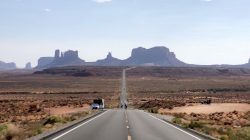
My friend Matthew at Live and Let’s Fly recently put up a teaser post of his latest trip report. One of theses posts involves a road trip around the islands. The photos reminded me somewhat of a road trip I recently took in the far, far north. During my trip aurora chasing in Finnish Lapland, I enjoyed a two-country road trip to complete a bucket list item. You may remember, in summer 2020, we headed up Alaska’s Dalton Highway on the road trip of a lifetime. Unfortunately, though, we failed in actually reaching the Arctic Ocean in Deadhorse, as that summer’s tours ended up canceled. So I used my time in Finland to embark on a Nordic road trip to the Arctic Ocean. And this time, I actually succeeded in making it.
Note: this post is part of my trip report series about my trip to Finnish Lapland in October, 2022. Click here for the trip report index and introductory post.
The Routing
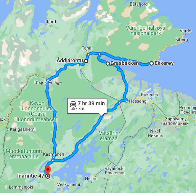
I spent my three days in Finland in Inari, in the far north of Lapland. Getting to the Arctic Ocean, though, requires heading to Norway. (Well, technically that gets you to the Barents Sea, but it’s considered part of the Arctic Ocean.) After looking at several options, I decided to head to Ekkerøy, a small peninsula on the eastern edge of the fjord Varangerfjorden. Of course, anyone who follows my road trips, like the road trips in the UK and Ireland, knows I have to drive in a big circle. So I chose two different routes to come and go. To reach Ekkerøy, I headed along the north shore of Inari Lake, then east along the Varangerfjorden. On the return, I drove west through the Teno (Tana) River valley before heading south to Inari. Here’s a map of the full route:
The route followed the E75 about 65 km north from Ivalo, then Highway 971 along the north shore of Lake Inari. Continue 130 km, crossing into Norway where the road becomes Route 92, to Neiden. Here, turn left and follow the E6 80 km to Varangarboten. Turn right and rejoin the E75 to Ekkerøy, a further 65 km. On the return, retrace your steps to Varangarboten, but this time, continue towards Tana. Just before Tana, 77 km from Ekkerøy, turn left at Route 865. Cross back into Finland about 20 km later, where it becomes Route 970. After about 50 km, reach the town of Utsjoki, and turn left to return to the E75. Another 125 km gets you back to Inari. One thing to remember – Norway is one hour ahead of Finland.
As far as crossing a country border, driving between Finland and Norway is like crossing between US states. There’s no border controls, so you literally just drive across, unless you have goods to declare at customs. I rented my car at Hertz in Finland, and going to Norway only entailed paying a €40 fee. (For €40, don’t get cheap. Just tell them you plan to drive to Norway and pay the fee.) There are no tolls on any of these routes. Like driving in Arctic Alaska, make sure to keep plenty of gas in reserve in case the weather traps you somewhere. Unlike the Dalton, though, I found gas fairly readily, in Neiden, Varangarboten, Vadso, Tana, and Utsojoki.
And finally, why Ekkerøy? I wanted to see the Ekkerøy Bird Cliffs, a natural landmark home to tens of thousands of nesting kittiwakes (seagulls). Unfortunately, they high tailed it out of town a few weeks before my visit. But the landscape of the fjords is equally fascinating, birds or no birds.
Date of trip: Sunday, October 23, 2022
A Nordic Road Trip to the Arctic Ocean
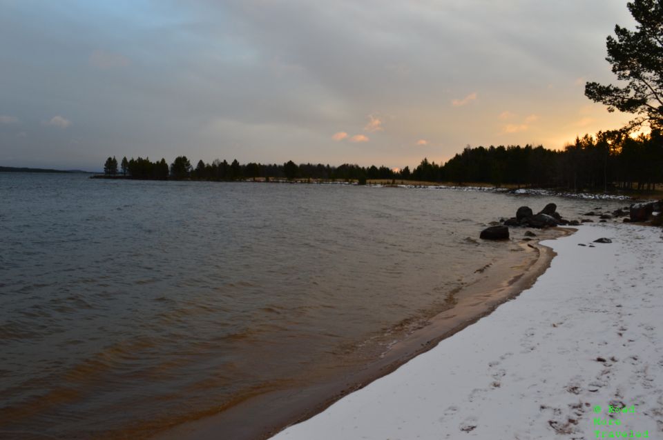
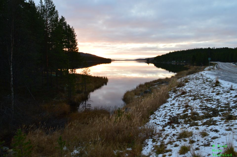
Sunday, dawned cold and frosty after the previous day’s first snowfall of the season. Unlike the previous day, though, Sunday dawned with a beautiful sunrise over Inari Lake. No, I’m not usually a sunrise person, but a 9 am sunrise in the Arctic is doable.
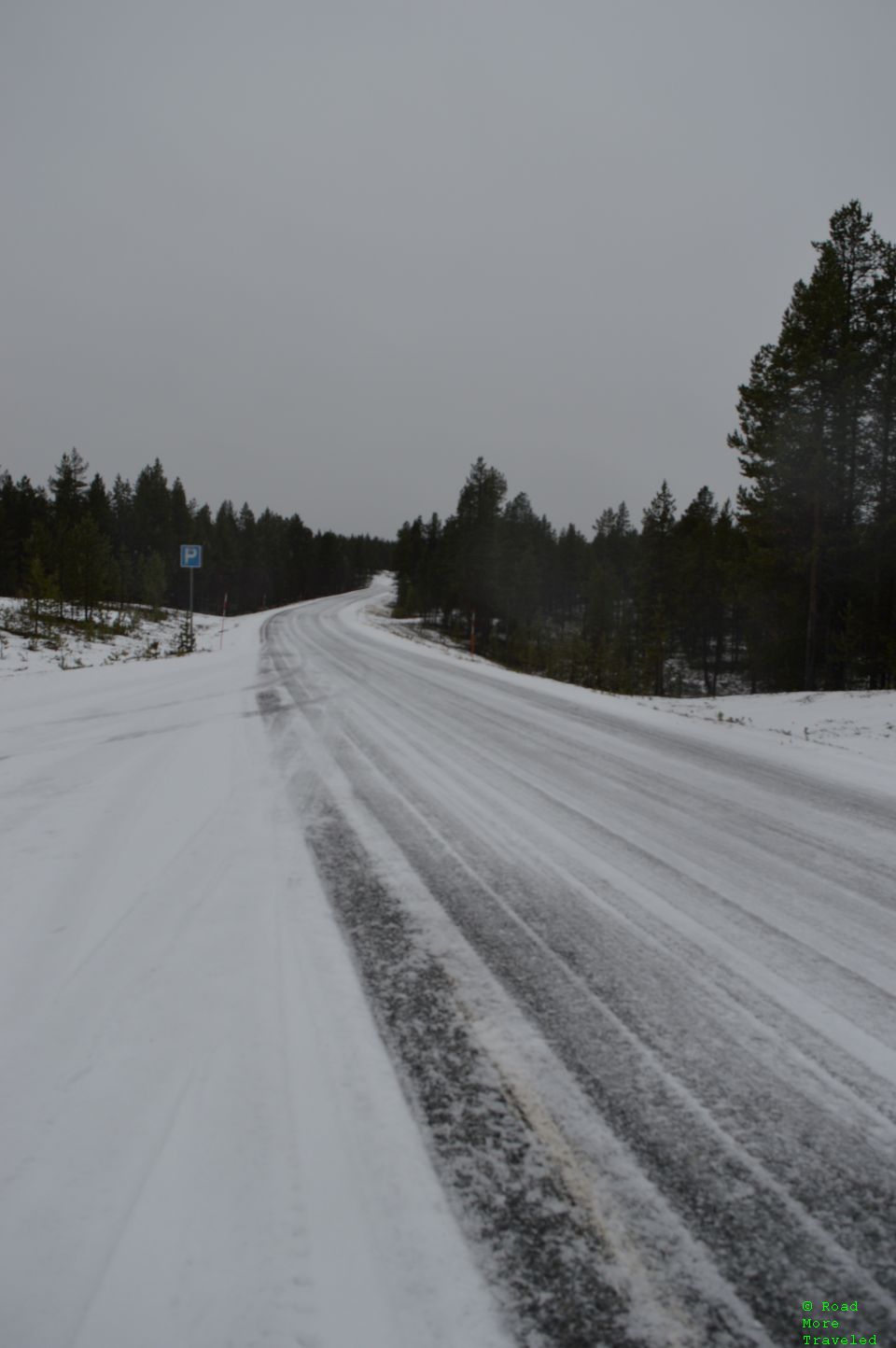
The first stretch along the E75 proved easy enough. Though still snowpacked in spots, the road’s in good shape, with light traffic and no snow. As an FYI, speed limits on regional roads in Finland are 100 km/h in summer, and 80 km/h in winter. The winter speed limits weren’t up yet, but the snowpacked roads made for slow going. At least my rental came with studded winter tires, making the going a little easier.
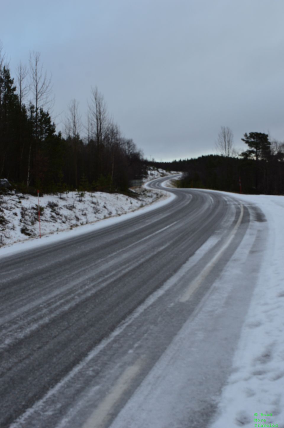
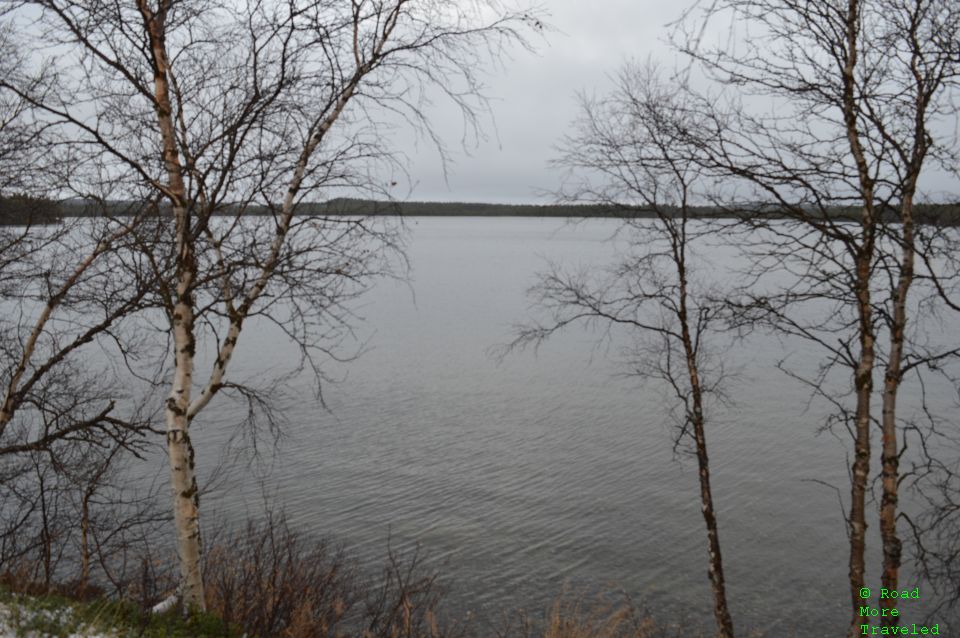
As I turned northeast along the north shore of Lake Inari, I hit a pretty good pocket of snow. I hoped for some nice views of the lake to the right, but the topography really doesn’t cooperate. Finally, about halfway along the shore, I found a pullout with a decent view of the lake below. I first surveyed the slushy mess of the road going and coming.
There are hiking trails you can take down to the lake, but I didn’t have the proper shoes for icy conditions. It sure did look pretty down below, though.
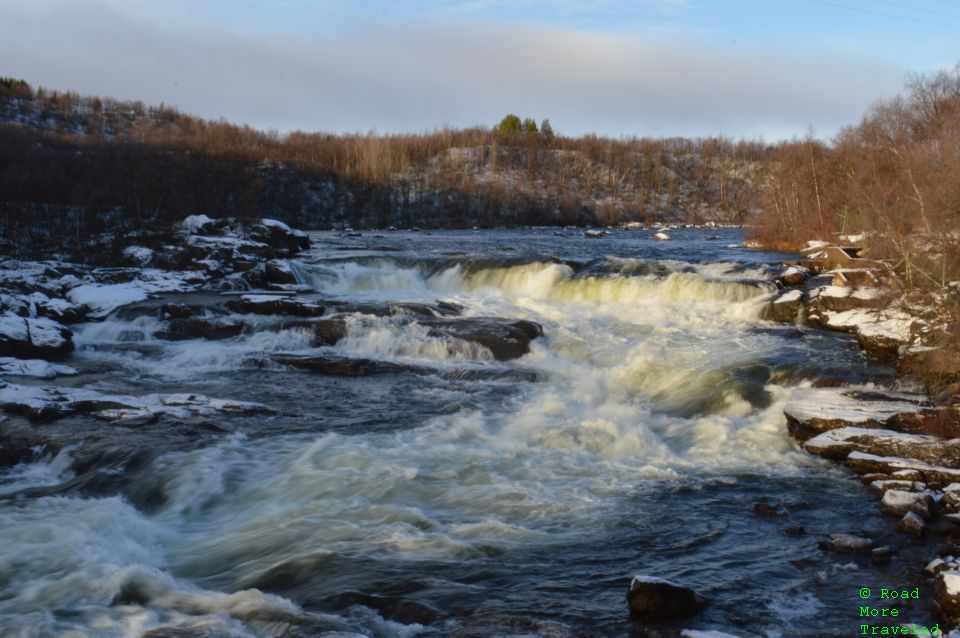
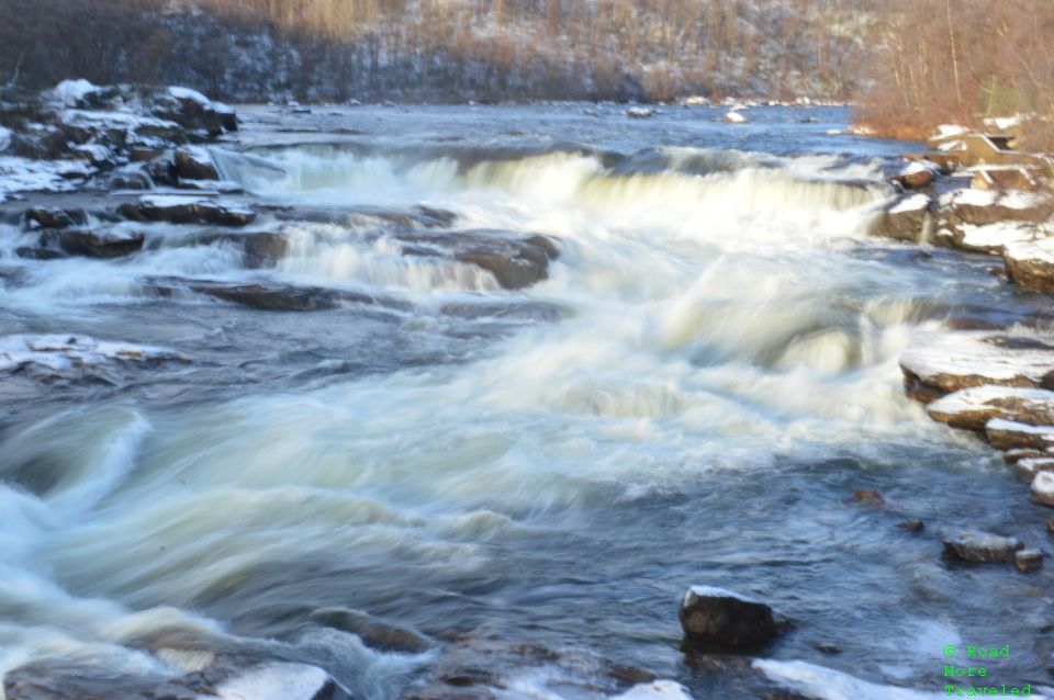
As I crossed the border into Norway, conditions improved, and the sun even came out. And then, as we reached the town of Neiden, I saw a waterfall just off the road. That called for an impromptu photo stop at Neiden Falls. Since it was still early in the season, the falls were still running pretty good. One thing that stood out – the low sun angle even at 1 pm in the afternoon this far north. It looked and felt more like early evening.at midday, even in October. Quite the difference from the midnight sun I experienced in Alaska.
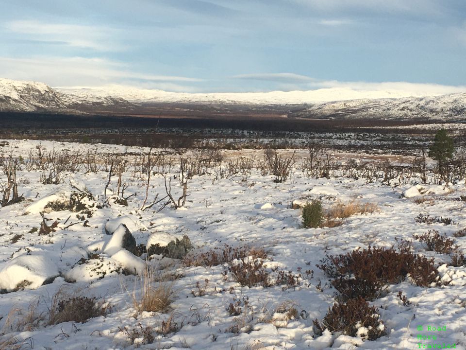
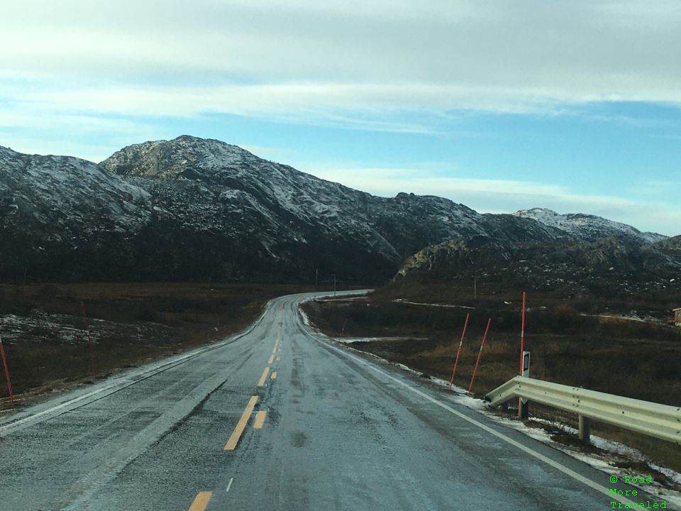
As I headed north out of Neiden on the E6, the landscape transformed into a more mountainous one. The fresh snow, especially on the hills behind, made it a magical wintry scene. I said the landscape of the Brooks Range in Alaska was unlike anything I’d ever seen. That’s still true, but the Arctic covered in snow is pretty darned close.
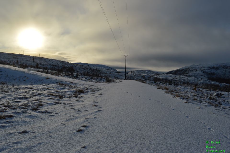
A few miles north, I headed into a pullout with some hiking trails heading into the surrounding countryside. I didn’t have much time, but enjoyed the view of the winter wonderland surrounding me.
Once again, notice the dim midday sun as the long darkness of winter rapidly approaches.
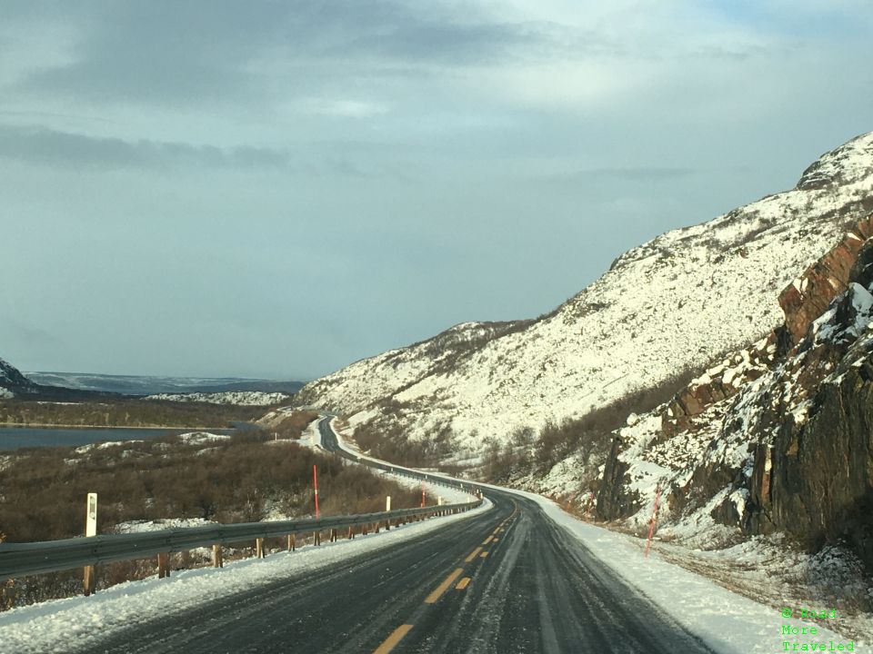
The stretch from Neiden to Varangarboten features the most spectacular scenery of the trip. Initially, you wind through low mountains dotted with occasional glacial lakes.
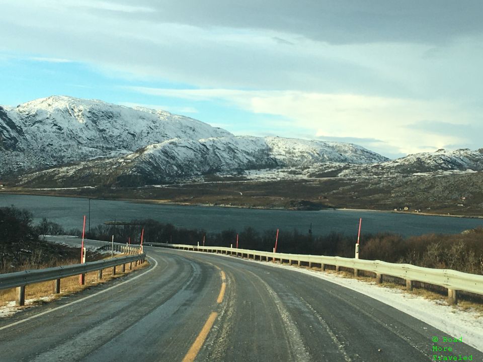
As you continue north, the road occasionally drops down to the fjords of the Varangerfjorden. It’s absolutely stunning in winter, with the snow capped peaks all around.
At other times, the road heads back up into the hills.
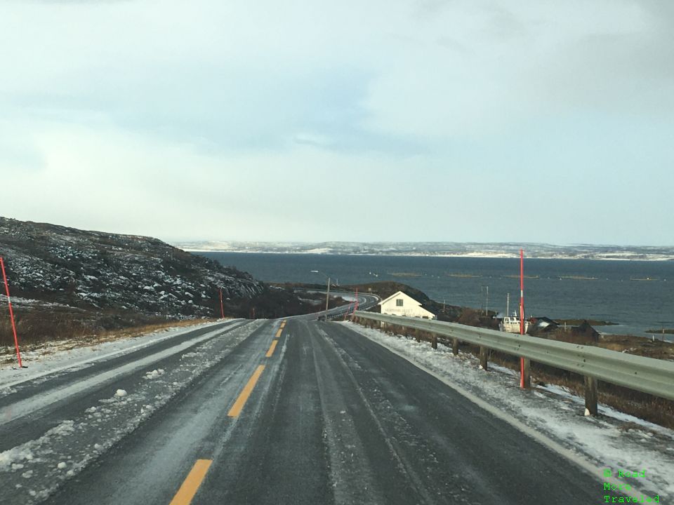
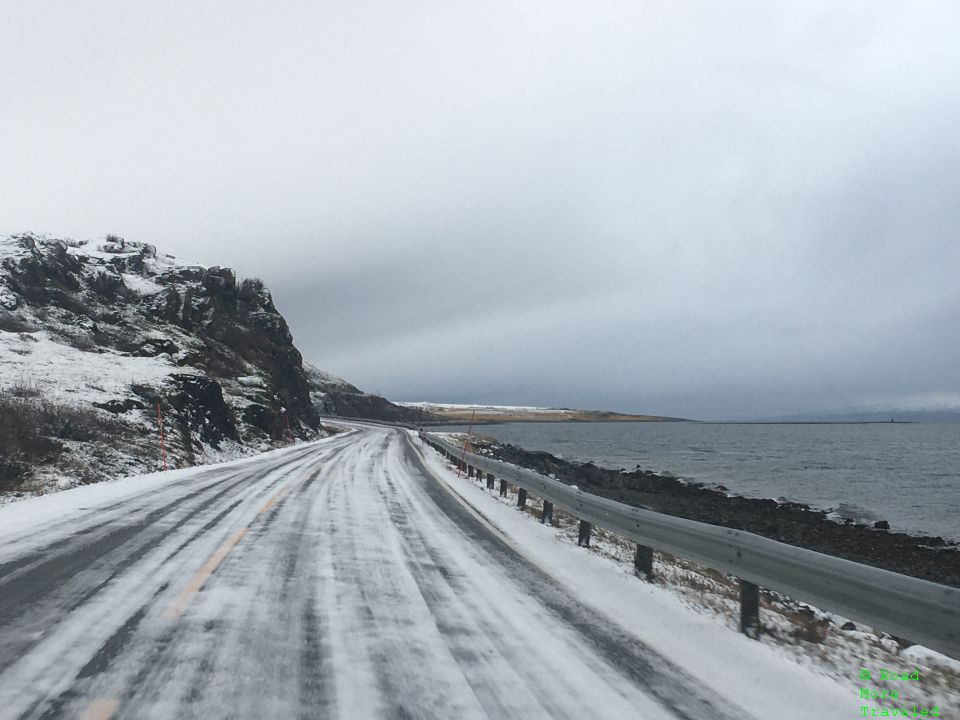
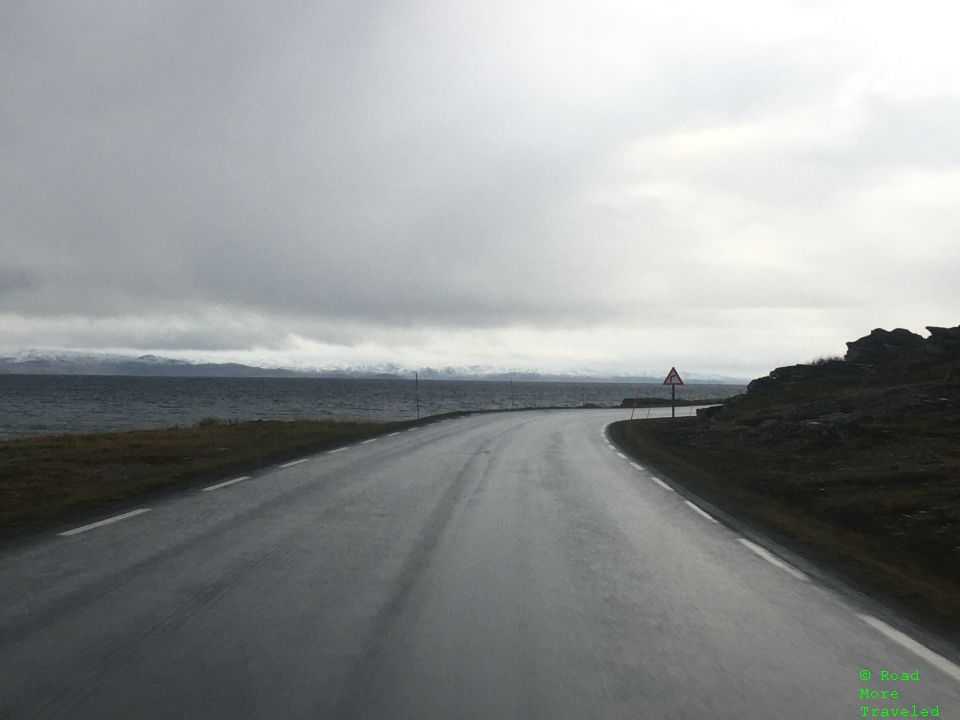
Heading east out of Varangarboten, the weather turned once again, with snow falling along the Barents Sea. This was probably the most treacherous section of road up to that point. Thank goodness for snow tires…
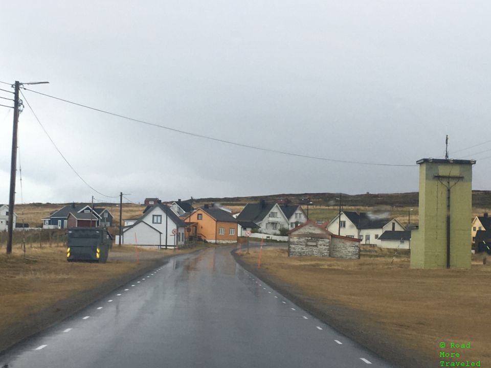
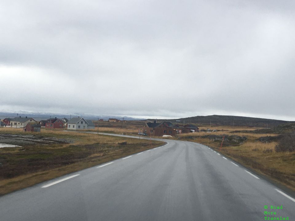
But the weather can change in an instant in this hostile environment. Not even 20 km farther, there wasn’t even a trace of snow, as temperatures here remained a few degrees above freezing. The little Norwegian villages you pass through provide an interesting contrast to the barren landscape.
If you didn’t know better, you might think you’re in coastal Ireland or Scotland.
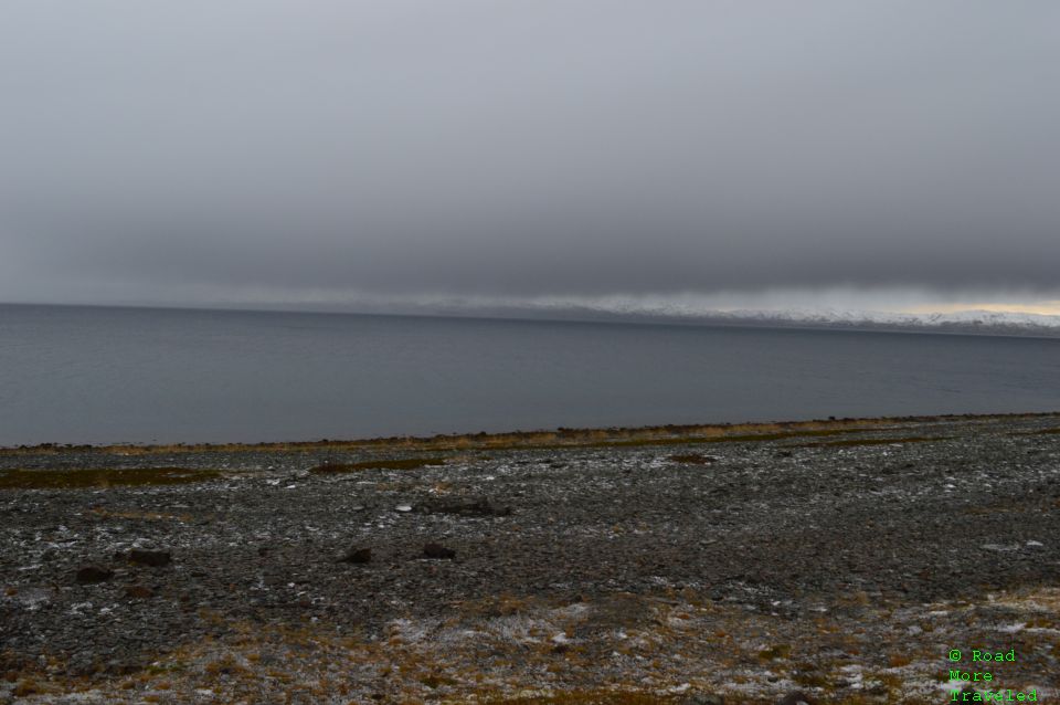
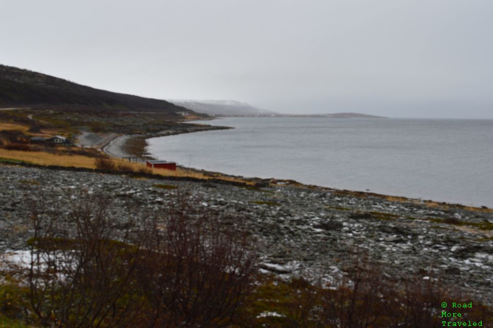
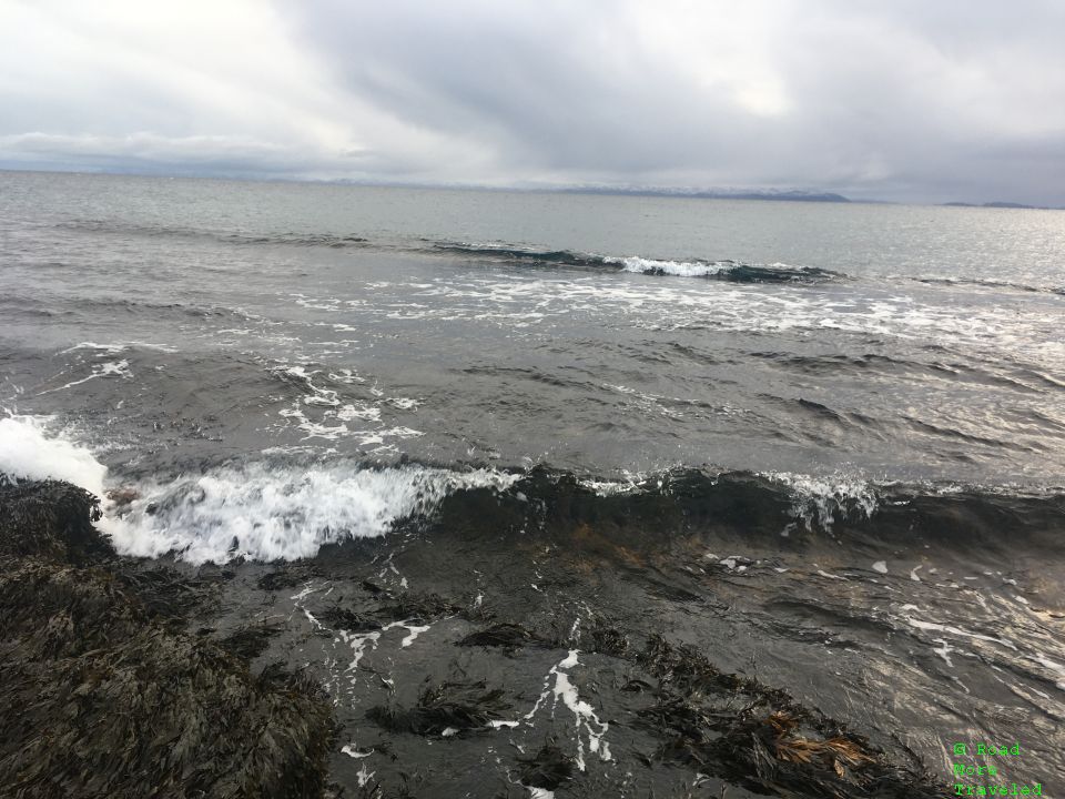
A few miles short of my destination, I stopped at a pullout overlooking the Barents Sea. Yes, that’s a rocky beach down along the shore. The windy, 36 degree afternoon kept any potential visitors at bay, though.
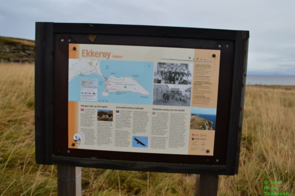
At long last, about 4 hours after leaving Inari, I reached the village of Ekkerøy. To reach the bird cliff, on the edge of town, turn right at the sign for Ekkerøy from the E75. The sign also includes a board for the “Fugelokalitet Bird site”. Continue on the road through the village, then turn left at the sign that says “Feriehus”. Then immediately turn left again, and you’ll see the parking lot for the bird cliff on the right. There is a sign with a trail map and description at the lot.
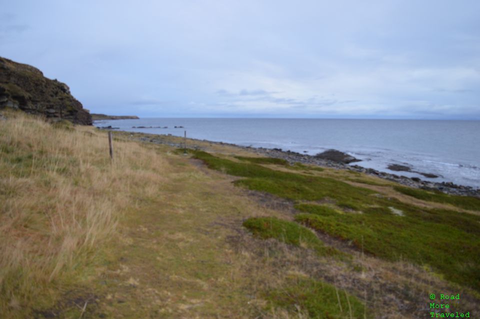
A short, 1/4 mile trail leads down to the ocean and the bird cliff. The trail is easy; however, there are large stones which become very slick in rain or fog. I’d think twice about wearing flip flops, even though the trail is short and easy.
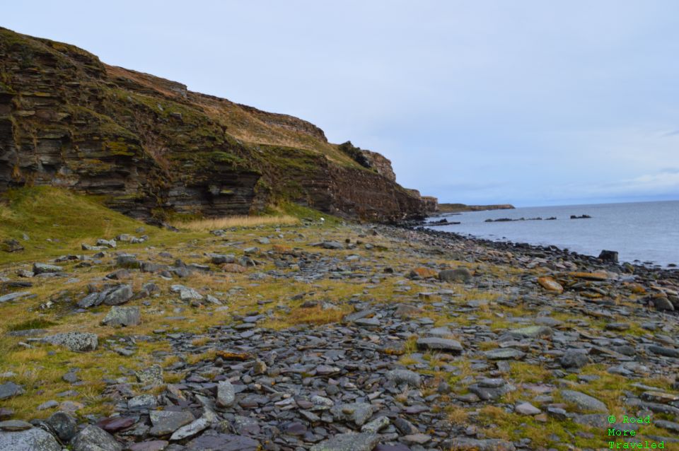
At the bottom of the trail, you reach a rock-strewn beach that leads to the bird cliff. In season, you’ll find tens of thousands of birds on these cliffs. On this dreary late October day, though, it was just me and a couple of other humans braving the elements for a walk.
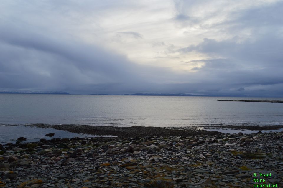
Of course, what I really came for was to stick my hand in the Arctic Ocean. And so, at last, I made my way down to the unforgiving Barents Sea. Like the main trail, the walk down isn’t hard, but the stones get slick in the rain.
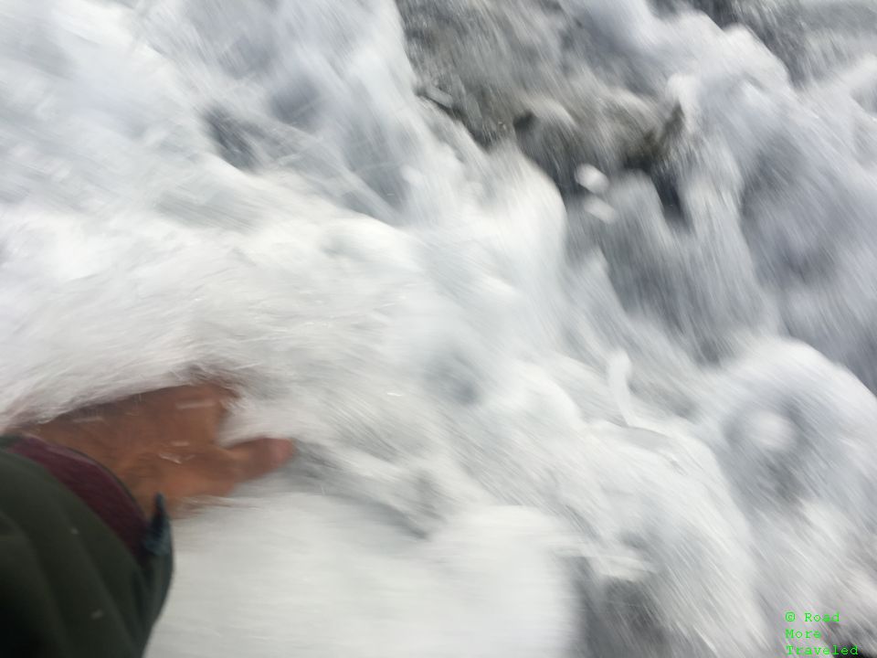
And yes, I did stick my hand in the sea. I’d guess the water temperature was around 40 degrees. My mother mocked me for not sticking my feet in the water. Too bad, I didn’t bring a towel to dry off, and I hate wet socks more than anything.
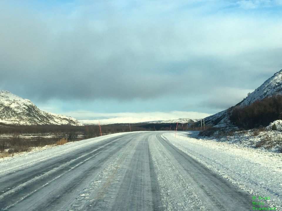
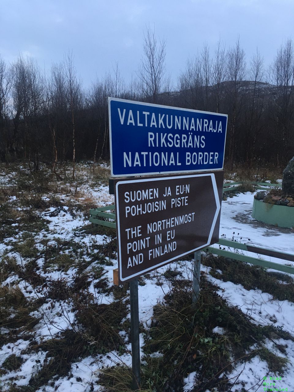
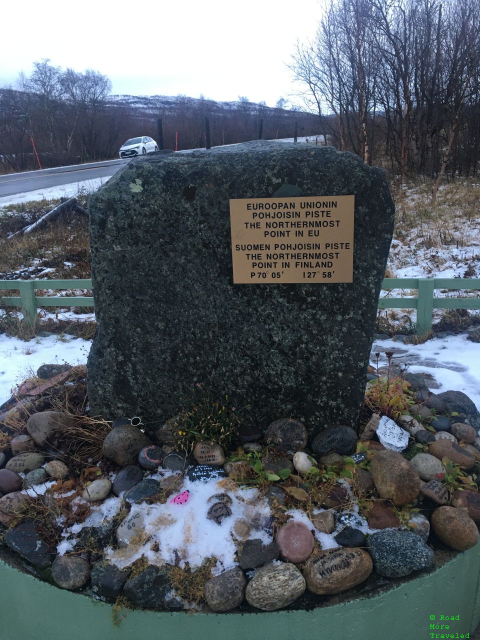
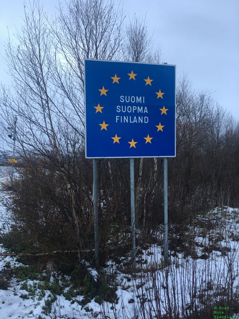
After about half an hour here, I headed back to Inari. On the way, I hit the most treacherous conditions on the trip between Varangarboten and Tana on the E6. Sun earlier in the day melted much of the snow off the road. But the feeble evening Arctic sun meant it turned into a sheet of ice as sunset approached. Conditions quickly improved after I turned onto Route 865 to head to Finland. As I reached the border, I found a landmark I wasn’t expecting. The road passes through the northernmost point in both Finland and the European Union.
This marked my second trip north of 70 degrees latitude, though not my farthest north point on this drive. Earlier in the day, the E6 reached a latitude of 70 degrees 18 minutes around Varangarboten. My first trip north of 70 degrees holds my personal record for farthest north travel, though. That’s Deadhorse, Alaska, at 70 degrees 21 minutes north.
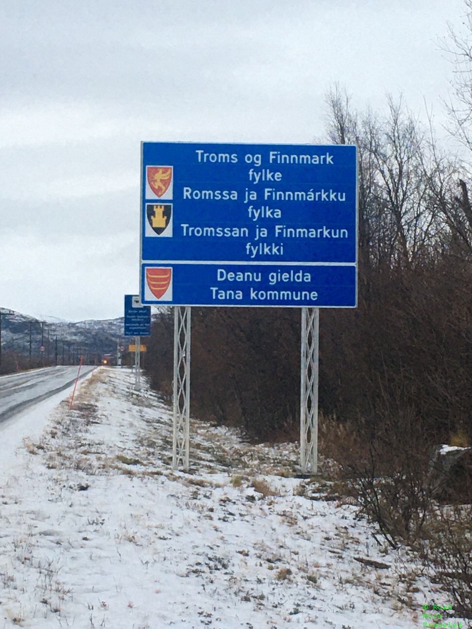
While I was there, I also took the opportunity to photograph the welcome signs to both Finland/EU (westbound) and the Norwegian county of Troms og Finnmark (eastbound).
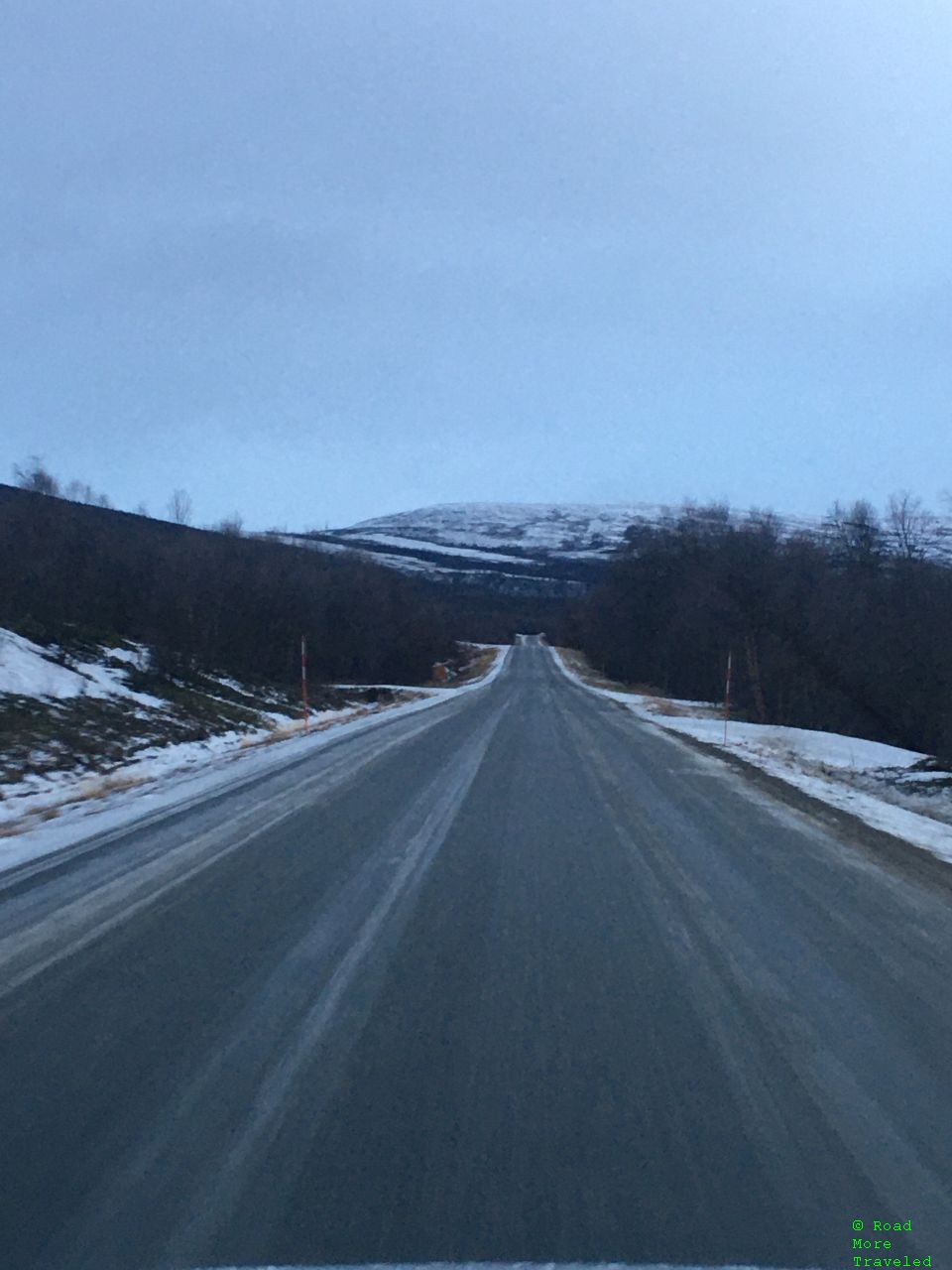
After a brief stop here, I continued through the Teno Valley towards Utsjoki. While I hoped for some clearer skies and a sunset, this drive through the river valley certainly was bucolic.
Though slower than normal due to occasionally bad road conditions, the return trip also took about 4 hours.
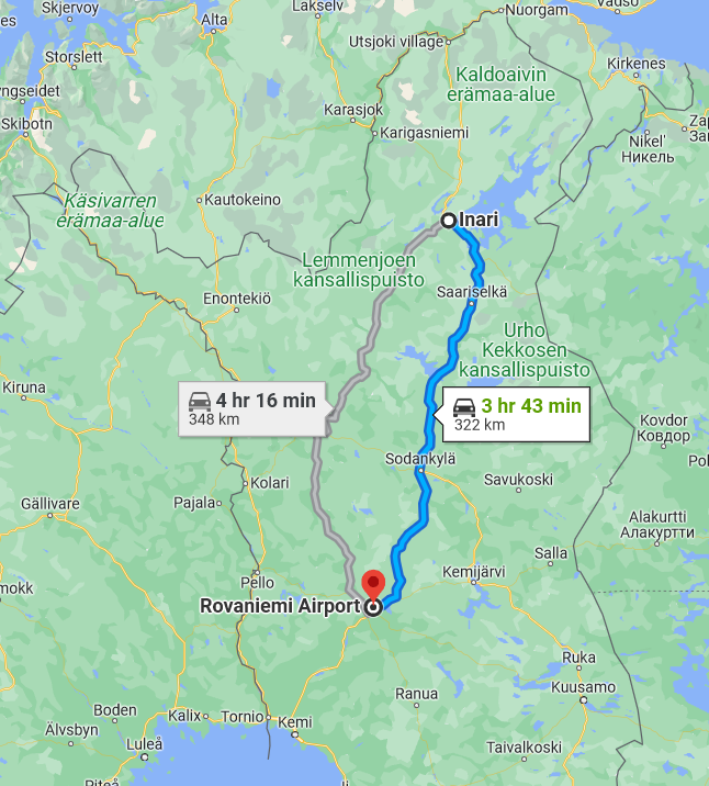
Bonus Coverage – The Drive from Inari to Rovaniemi
I mentioned earlier that I booked my flight home from Rovaniemi, rather than Ivalo. That meant a 322 km (~200 mile) drive the next day.
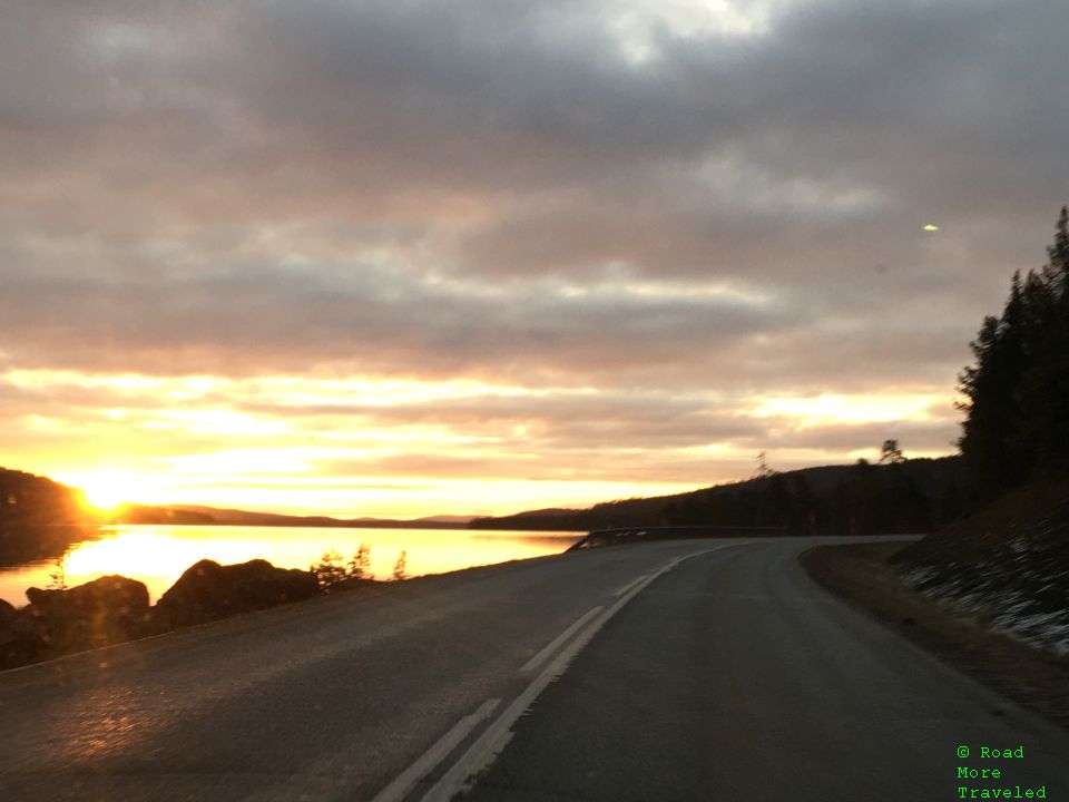
I left the hotel a little before 9, and the sun began to rise on the way to Ivalo. I reached Leviäsalmi Lake just as the sun began to come up. A beautiful start to a beautiful day.
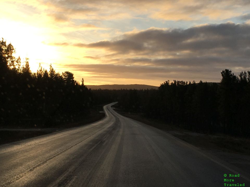
The sun soon rose above the horizon as the E75 highway hugged the shores of Leviäsalmi Lake and the forests of Lapland.
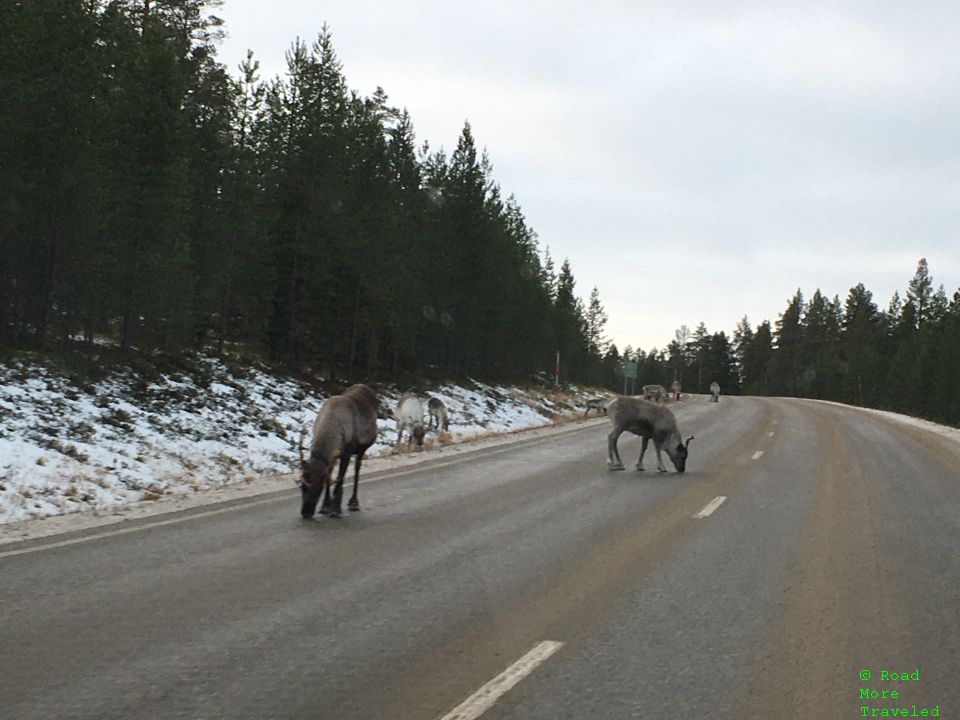
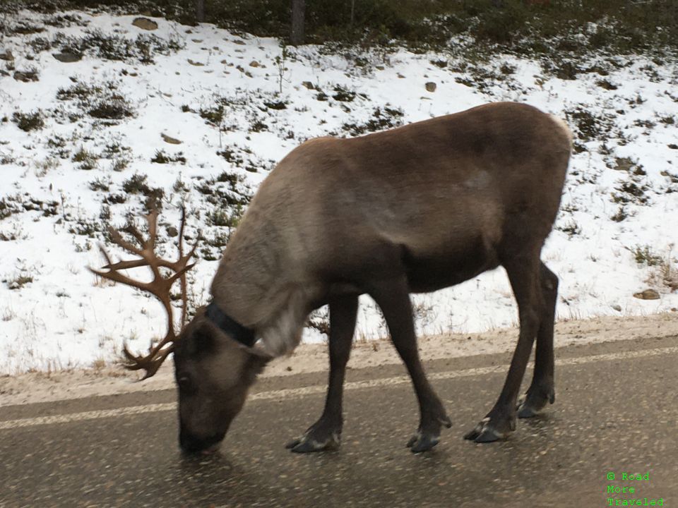
Heading south from Ivalo, I encountered my first wildlife of the trip, a herd of reindeer. Unlike the caribou I encountered along the Dalton Highway, these reindeer aren’t completely wild. Rather, they loosely belong to the native Sami herders that call Lapland home.
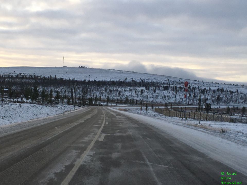
Though the roads were OK leaving Inari, a fog started to settle in approaching the ski resorts of Saariselkä. That made the roads a tad icy as we reached the mountainous terrain of the area.
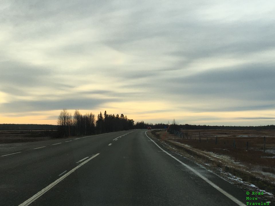
The icy landscape didn’t last long, though. Continuing south of Saariselkä, the snow disappeared for good as the elevation dropped. The rest of drive to Rovaniemi was a much flatter forested landscape, like the ones you might find in northern Minnesota or southern Canada.
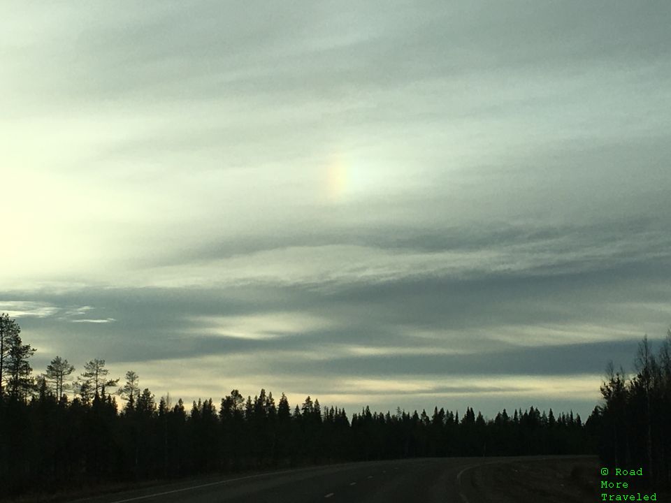
Nature had one more surprise and delight, though. Thanks to the frosty air, a sun dog appeared in the cirrus clouds up in the sky.
Final Thoughts
Though the conditions made things a little challenging, a road trip through Arctic Lapland and Norway is an easy day trip. If you fancy crossing a trip to the Arctic Ocean off your bucket list, it’s an easy add-on if you’re spending a few days aurora chasing in the fall or spring.


