I’ve made many, many trips to Southern California since I met my wife in 2006. But I haven’t visited Northern California in nearly 10 years. My wife and I made an impromptu trip to San Francisco for Valentine’s Day. On the way, a nearly cloudless sky made for an excellent morning for picture taking from my window seat. Our route first took us almost due west-northwest to the vicinity of Cedar City, Utah. Then, we turned due west the rest of the way across Nevada and California to the South Bay. Finally, we headed north along the western shore of San Francisco Bay to SFO. Incidentally, I drove almost this exact same route in 2005, on the final two legs of an 8,000+ mile roadtrip that summer. It would be interesting to see how the trip would compare at cruising altitude.
Date of Flight: Saturday, February 14, 2015
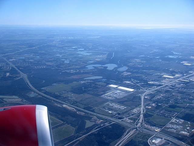
With light winds in the Dallas area that morning, we took off from Love Field to the south. Then, we gradually angled to the west to roughly parallel IH-20 out of the Metroplex. As we reached the south end of Dallas, the southern end of the Great Trinity Forest came into view near the intersection of IH-20 and IH-45. A series of forested wetlands along the Trinity River floodplain extending approximately 11 miles southeast from downtown Dallas, the Great Trinity Forest is considered the largest urban bottomland hardwood forest in the United States – and due to a general lack of access, remains largely undisturbed and undeveloped. Certainly not what you expect to find in Dallas.
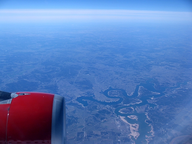
Now clear of the Metroplex, we passed a place all you Toadies fans out there will appreciate. That’s Possum Kingdom Lake, along the Brazos River to the northwest of Mineral Wells. Yes, the Toadies, who hail from Dallas, really did use this lake as the backdrop to the song. No, there are no serial killers/vampires/rapists/pick your other deranged interpretation of the song known to frequent the area.
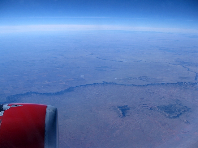
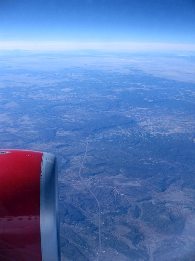
Heading west-northwest from Possum Kingdom, the flat, agricultural landscape breaks only for the Caprock near Lubbock. I was hoping we’d pass close enough to Caprock Canyons for a photo, but no such luck, so the next spot worth photographing was just past the New Mexico state line – a rather sudden cliff to the south of Tucumcari where the flat plains extending in from the Texas Panhandle abruptly give way to the high desert of the Land of Enchantment.
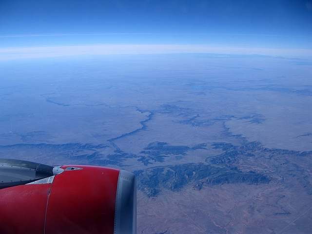
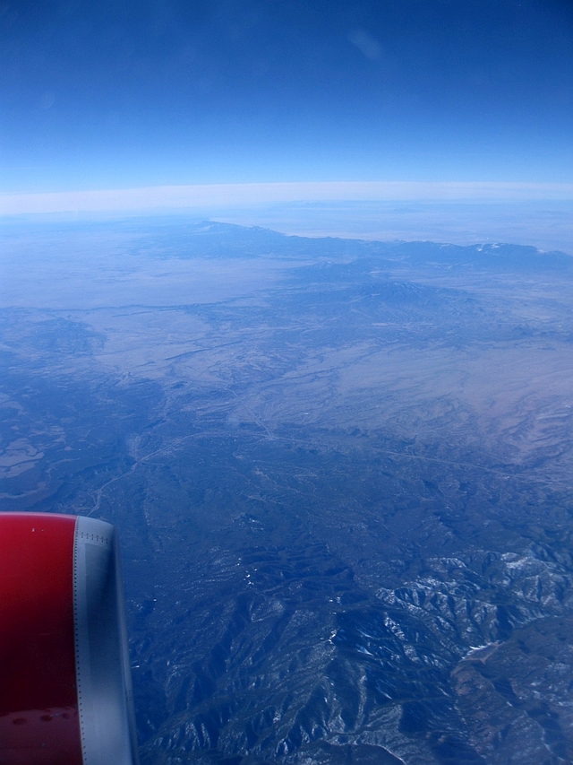
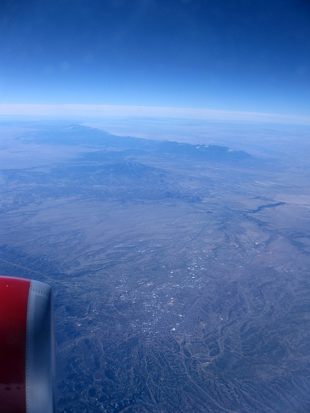
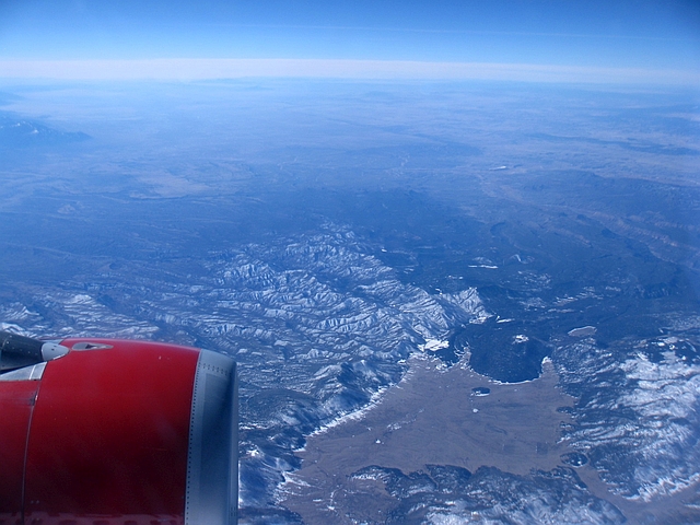
Continuing northwest, we passed perhaps the most geologically significant point on our journey – the southernmost point of the contiguous Rocky Mountains, in the Sangre de Cristo Range east of Santa Fe. In the first photo, the highway in the center-left of the picture is Interstate 25. In the last photo, the large city is Santa Fe.
Just a few minutes after passing by Santa Fe, we passed by a fascinating natural feature, the Valles Caldera near Los Alamos. As you can probably guess by the name, this is a dormant volcanic caldera. The hiking here looks great, and I’m sure the high peaks and mountain meadows are plenty beautiful from ground level. But the aerial view is something else.
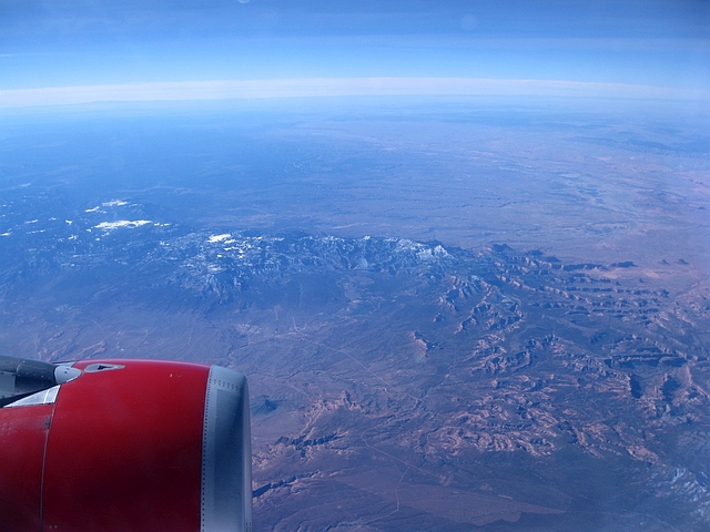
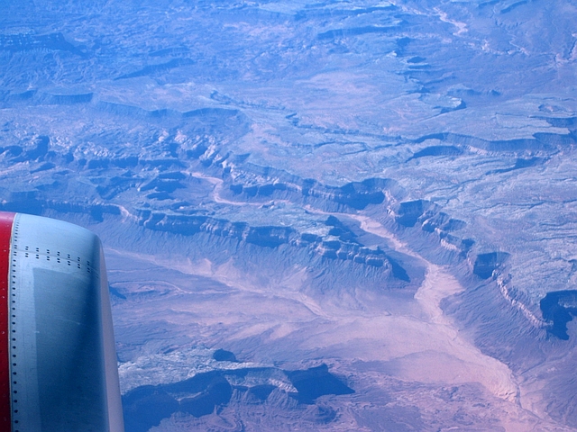
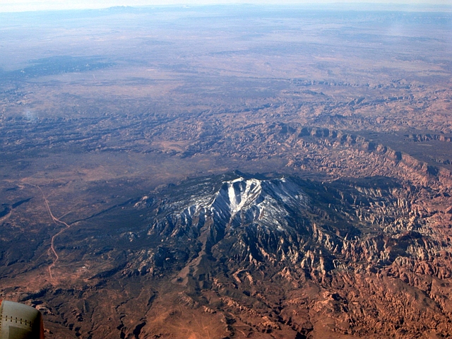
As New Mexico gives way to Arizona, the terrain becomes truly fascinating as you make your way through the high deserts of the Great Basin, with the best scenery of the trip to be found from here through central Utah. The first photo is the snow-covered Pastora Peak just south of the Four Corners. Next, as you approach Utah border is a long, steep cliff that created an interesting shadow in the morning light. These areas are largely inaccessible unless you have a Jeep.
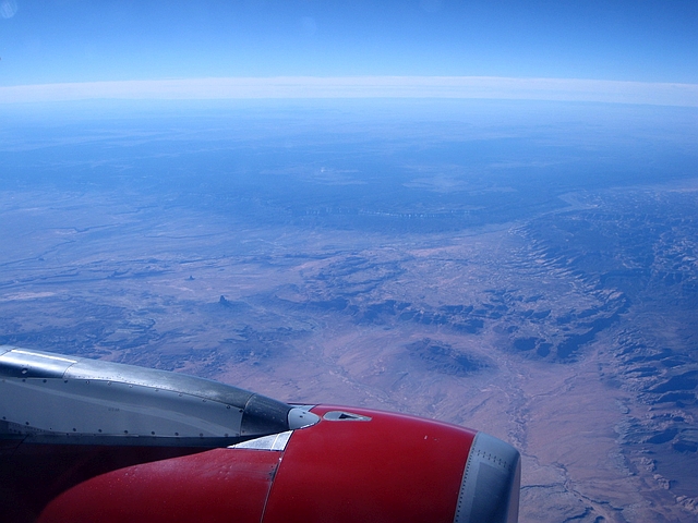
Just beyond the cliff formation was the spectacular Monument Valley of southern Utah and northern Arizona, a rugged landscape of cliffs and rock formations that resemble large buildings, hence the name.
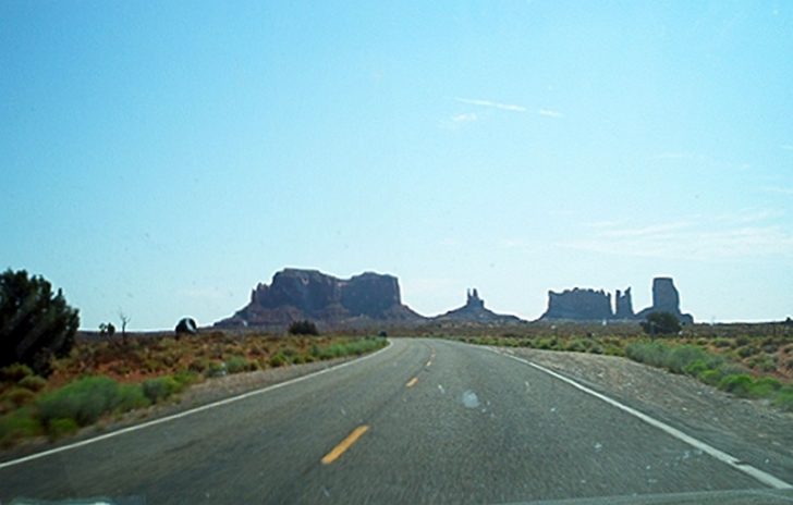
While beautiful from the air, Monument Valley is one of those places that begs for a road trip. In Monument Valley, you really need the interaction between the sun, clouds, shadows, and sandstone formations to get the full effect of this mysterious land. You just can’t get that from the air. As mentioned in the intro paragraph, I drove down the highway that cuts through Monument Valley in 2005. Here’s a photo to compare and contrast; you can be the judge of which perspective is better.
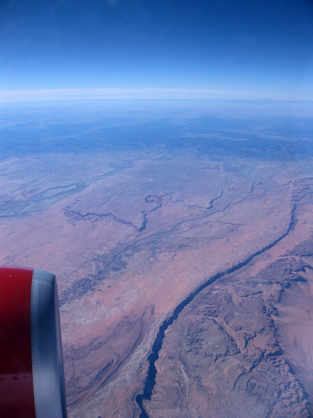
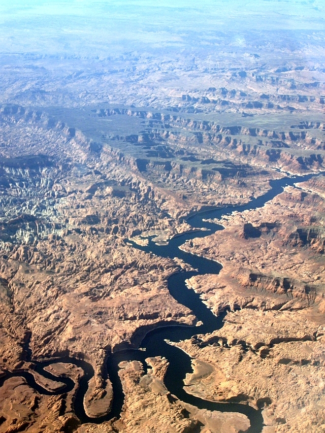
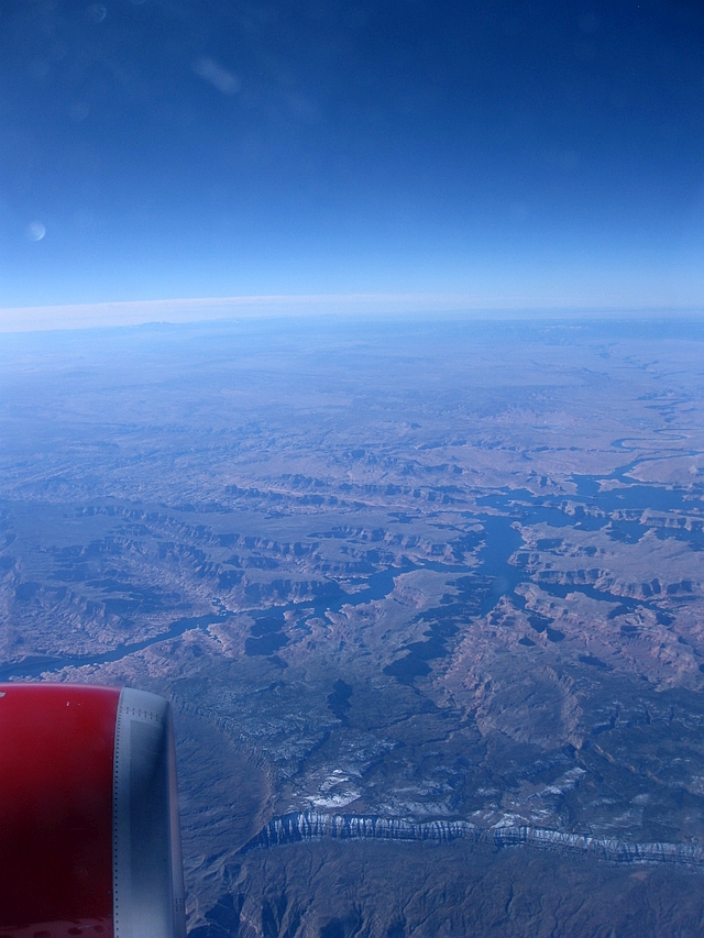
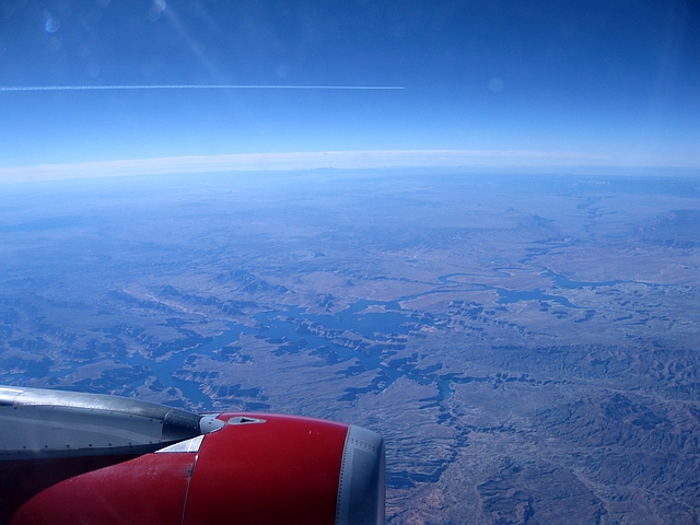
Further northwest into the Beehive State was probably my favorite flightseeing portion of the trip. We passed he confluence of the Colorado and San Juan Rivers in southern Utah; that provided some great views of Glen Canyon and Lake Powell looking to the south. The large mountain in the first photo is Navajo Mountain, elevation 10,288 feet. In the last photo, notice the jet streak from a passing plane at the top (too far away to identify).
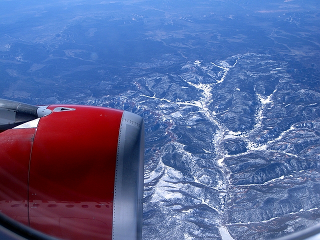
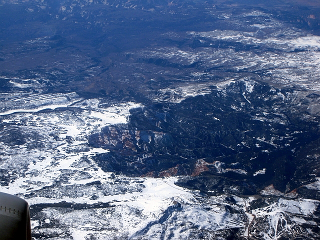
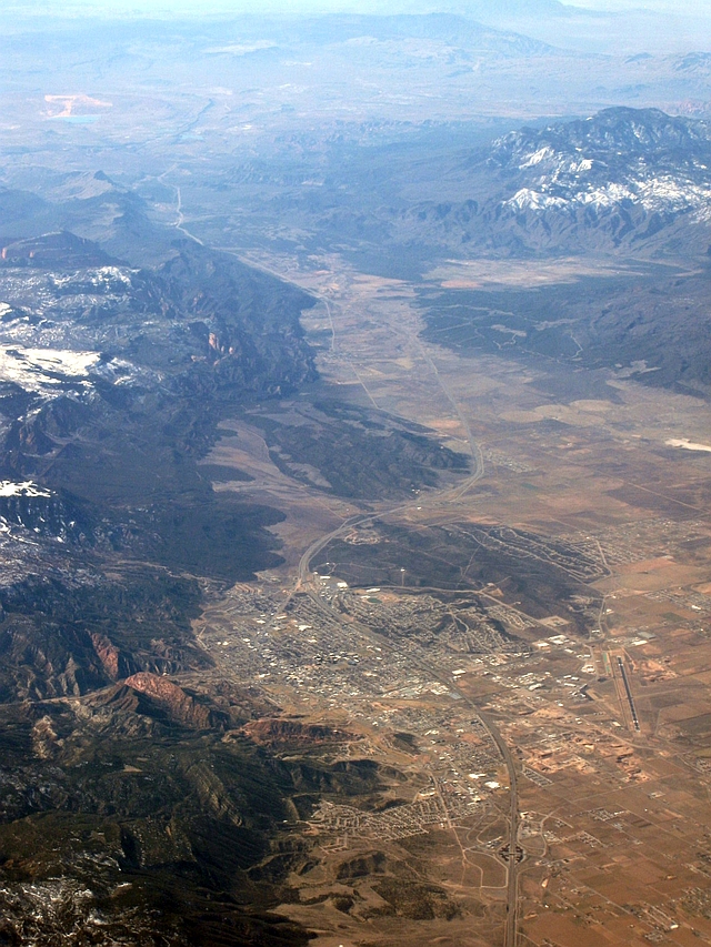
Utah is full of natural wonders, and we didn’t have to go far to find the next one. We passed directly over Bryce Canyon, followed by Brian Head. And then finally, the first sign of civilization in several hundred miles as we crossed IH-15 north of Cedar City. I’ve seen Bryce Canyon in the summer, but I enjoyed seeing it in the dead of winter, covered in snow.
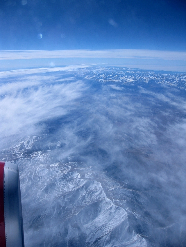
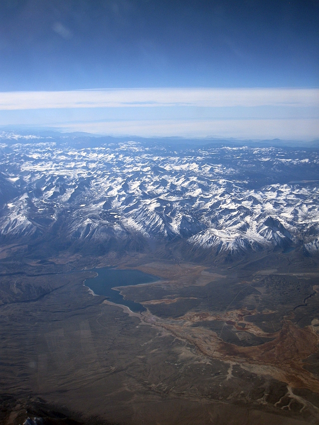
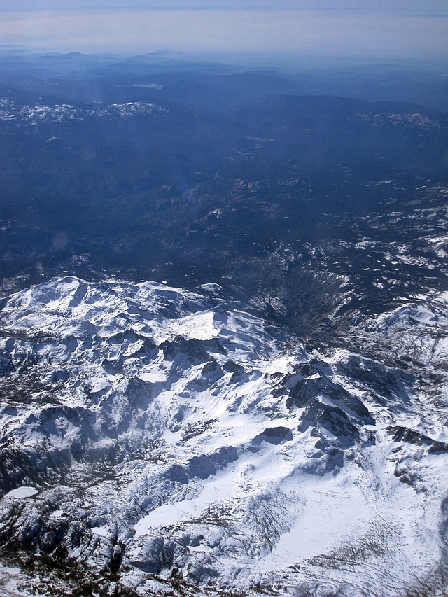
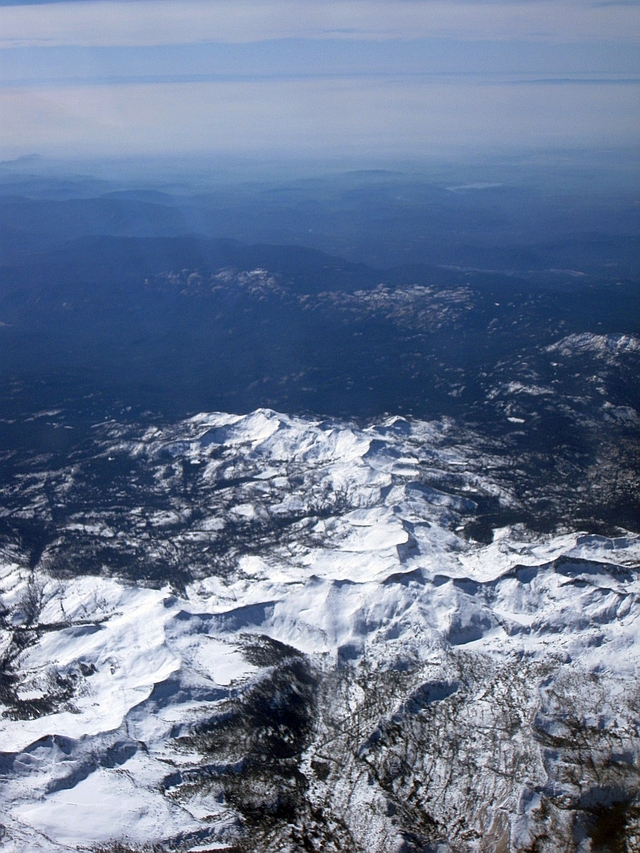
From Cedar City, we turned due west and passed over the alternating mountain ranges and valleys characteristic of western Utah and most of Nevada east of the Sierras. Occasional high clouds marred the view as we crossed most of Nevada. Fortunately, they cleared just enough as we approached the Sierra Nevada for more photo taking. We first passed Boundary Peak, the highest point in Nevada at 13,143 feet. Then, we passed just to the north of Lake Crowley at the far northern end of California’s Owens Valley. Finally, we flew over over the Mammoth Lakes area before crossing the crest of the Sierras in the Cathedral Range of Yosemite National Park. The ride did get a little bumpy as we interacted with the mountains.
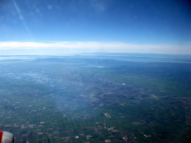
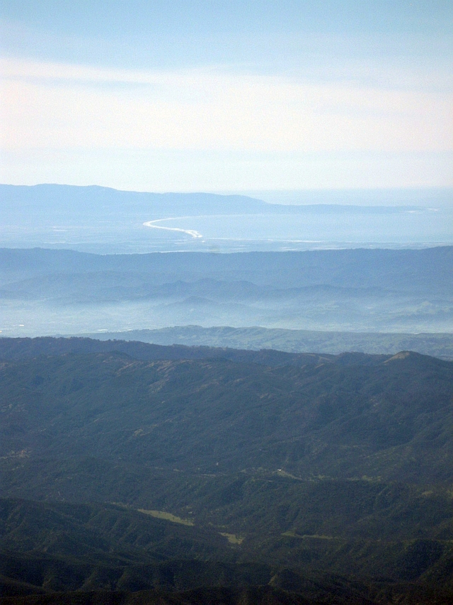
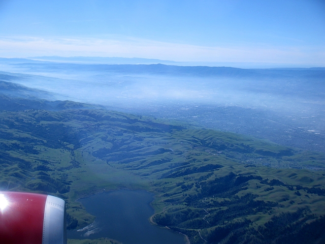
We began descending shortly after clearing the Sierras. Before making it to San Francisco, though, we passed over the Central Valley, greened up from the rainy season, caught a glimpse of Monterrey Bay and its sandy beaches well to the south, and finally descended into the Silicon Valley after passing Calaveras Reservoir.
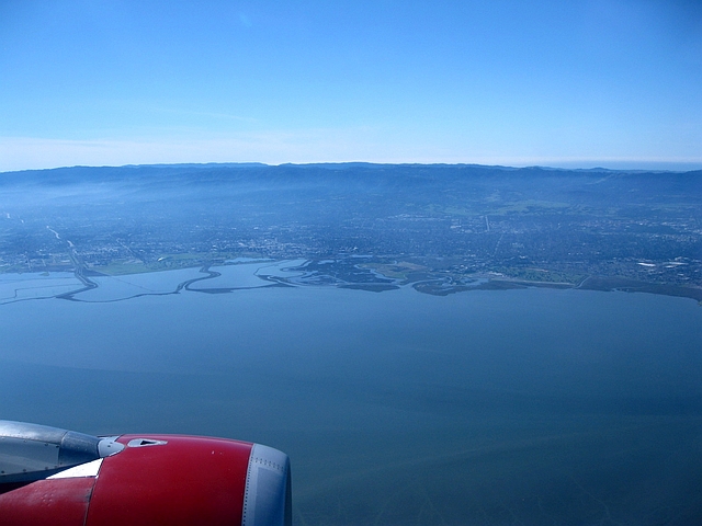
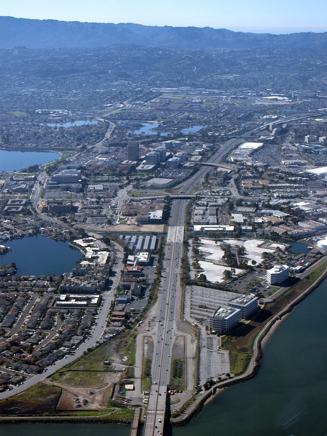
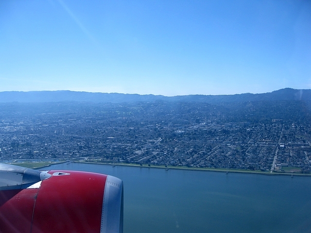
Last but not least – final approach from the south, and close-up views of the western shore of San Francisco Bay. Coming up from the south in an airplane sure beats a drive up the 101…
Upon landing, my wife and I were really looking forward to a weekend in San Francisco, the subject of another post currently under construction.
If you enjoyed this post, please check out my other guided flightseeing tours from commercial airliners – the northern Gulf Coast; and the oft-traveled route from DFW to LAX.

