One of my early posts as an aspiring travel blogger was my chronicle of a day trip from Dallas to the eastern half of the Talimena Scenic Byway in the Ouchita Mountains of Oklahoma. That was nearly two years ago, on Christmas Day, 2006. Recently, cheap gas, a November Saturday featuring perfect weather, and the peak of fall foliage season beckoned me back to the Talimena for a second round up the mountain. This time, though, the plan was more ambitious. I aimed to complete the entire 54-mile circuit, hoping to reach the road’s end in Mena, Arkansas before sunset.
Date of visit: Saturday, November 14, 2015
We ended up not getting out of the house until nearly 10. Thankfully, traffic was light and the speed limit is 65 even on two-lane roads in Oklahoma. That brought us to Talihina, the unofficial starting point of the byway, a little before 1:30. My wife and I were starving, so the first order of business was a lunch stop. I was going to settle for Subway, but my wife spotted Treats & Treasures, a charming little soda fountain that also had sandwiches and hamburgers on the menu. The burger was alright, but the floats, malts, and shakes from the soda fountain are delicious.
Grab a refreshing chocolate malt for the road
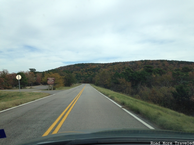
I mentioned that Talihina starting point of the Talimena Scenic Byway, because the road doesn’t actually start in town. The actual western terminus is 8 miles north of town, off of Highway 271 just past Talimena State Park. Before you get there, Highway 271 abruptly cilmbs to the crest of Winding Stair Mountain, giving you your first real taste of mountain driving.
From the intersection with Highway 271, the Byway (State Highway 1 in Oklahoma, State Highway 88 in Arkansas) travels along the ridgeline of Winding Stair Mountain for the first 20 miles to roughly the junction with US 259, and then Rich Mountain from just east of US 259 to the byway’s end in Mena, Arkansas. This being mid-November, that meant the promise of fall foliage and mountain vistas the entire distance.
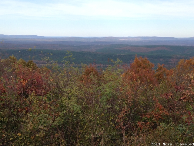
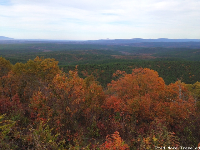
However, unusual, volatile weather patterns across northern Texas and southern Oklahoma led to an uneven color show this year. The worst multi-year drought since the 1950s abruptly ended in the spring with record rains. Summer brought another period of excessive heat and dryness from July through mid-October. Then yet more record rains to close out October and early November resulted in a hodgepodge of fall color conditions, as you can see in the photos below. The foliage show abruptly switched from mediocre to brilliant within the span of just a few miles. In other areas, the trees seemed to skip the colorful phase altogether and went straight to dropping their leaves.
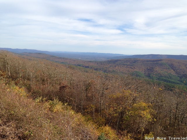
Of course, the flipside is that the record October warmth also delayed the foliage season a week or two. That made this entire trip possible. The color show started off poorly at the first vista point on the road, Holson Valley Vista. The views of the valley to the north were great, but the colors themselves were rather dull, going straight to brown.
The color did improve a little heading east…
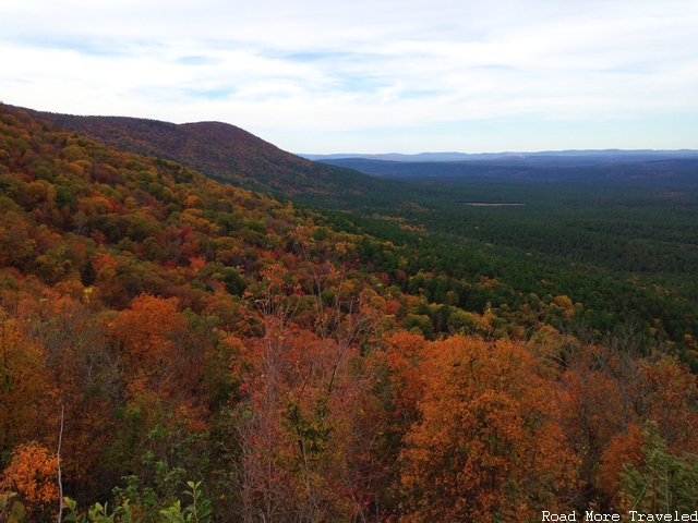
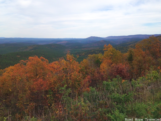
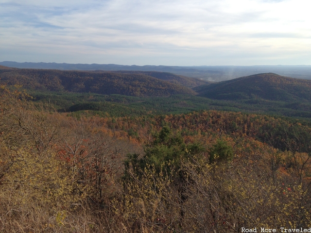
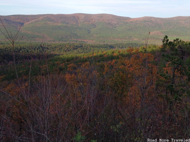
…but then abruptly shifted all the way to “WOW” by two viewpoints away, Deadman Vista, again on the north side. The distance between the two points is maybe five miles, but the difference in conditions was truly striking. In the second photo in particular, it appears as though a pastel carpet has been placed over the hills.
I think it’s safe to say, you don’t expect this view in Oklahoma
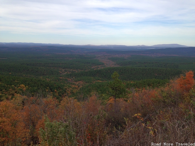
Just as quickly as the color appears, it disappears again. At Sugarloaf Vista, there is a great view to the north, but most of the leaves are long gone.
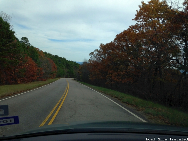
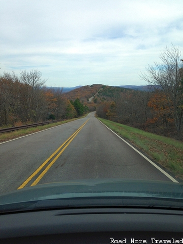
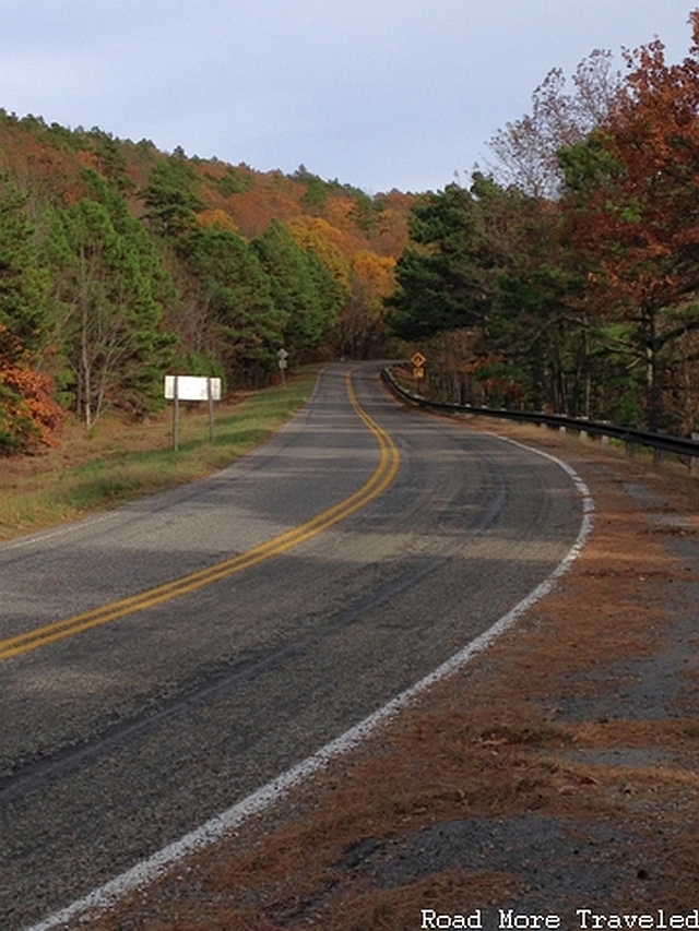
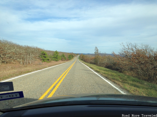
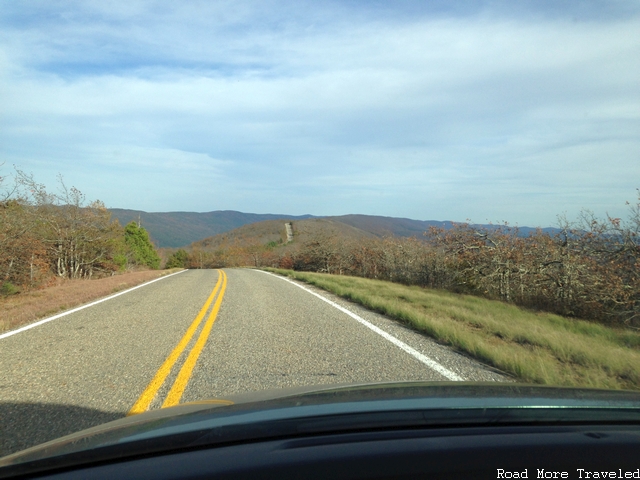
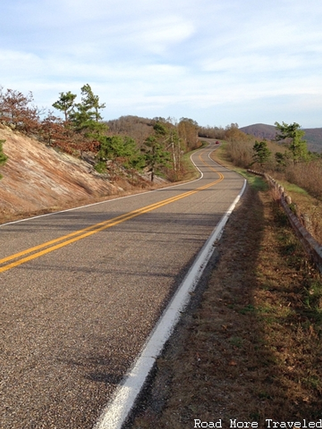
Shortly after the vista is perhaps one of the most scenic and challenging sections of the byway. A sharp downgrade, followed by an equally sharp upgrade, provides a spectacular view of the road ahead before bringing you back to the top of the ridge on the other side. Watch your speed on the downhilll side; it’s easy to pick up too much of it, bringing a surprise when you hit the curve at the bottom!
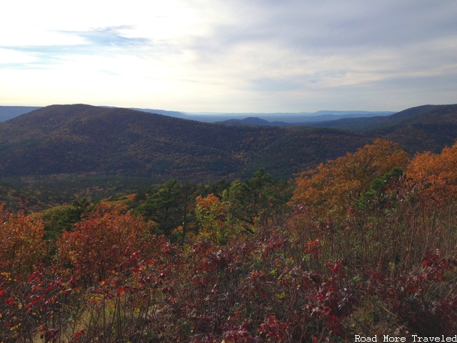
A couple of miles down the road is Lenox Vista, one of the few overlooks on the west half of the byway that faces south. Here, the color has made somewhat of a comeback, though it’s not quite as vibrant as at Deadman Vista. There are also several interpretive signs at this overlook detailing the history of the area, from prehistoric times to present. Apparently, woolly mammoths used to inhabit the valleys below. Incidentally, Lenox Vista is also very near the highest point on the Winding Stair section of the byway. This point is approximately 2,200 feet in elevation.
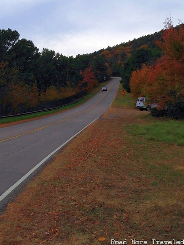
The road continues along the top of the ridge for the next few miles. Then, you descend rapidly approaching US 259 and the eastern end of Winding Stair Mountain. The highway then begins a rapid climb up Rich Mountain. One of the byway’s best scenic overlooks, Sunset Point Vista, can be found here. As the name implies, this is a preferred spot to view a sunset, as the vista faces west. But the color was also quite vibrant here, with a good dose of bright red to go along with the yellows, golds, and oranges.
Beyond Sunset Point, as the road heads upwards and towards Arkansas, the landscape takes on an almost alien appearance. Not only have the trees almost completely lost their leaves here, the landscape almost resembles a scrub desert.
The culprit, though, isn’t lack of rainfall. This area receives nearly 60 inches of rain a year, about the same as areas to the west. Rather, it’s a combination of rocky soils that don’t retain water well, as well as constant strong winds here at the top of the ridge that cause moisture to rapidly evaporate. On a side note, this area, in the vicinity of Castle Rock Vista at the eastern border of Oklahoma, is also one of the highest points of the Ouchita Mountains and the Ozarks generally, at an elevation of nearly 2,700 feet.
Heading into Arkansas, the landscape remains largely the same as you travel along the ridgetop of Rich Mountain. The first photo shows the view at Choctaw Vista, right on the Oklahoma/Arkansas border.
This site actually holds considerable historical significance, due to a long-running boundary dispute between the state of Arkansas and what was then the Choctaw Nation. The boundary was originally set in 1825, but a subsequent survey in 1857 determined that the boundary line was set erroneously to the west. This caused some land that should have been part of Indian Territory to be shown as part of Arkansas. Ultimately, an act of Congress in 1877 declared the older (erroneous) line to be the border. A survey marker was placed near this overlook at that time.
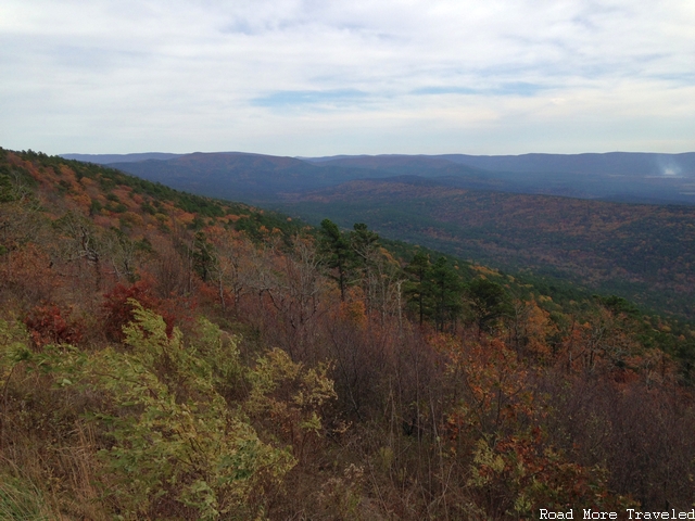
A few miles down the road is Mountain Fork Vista, near the edge of Arkansas’ Queen Wilhelmina State Park. There is a spectacular, unobstructed view to the south here, though again, not much color was left in this area.
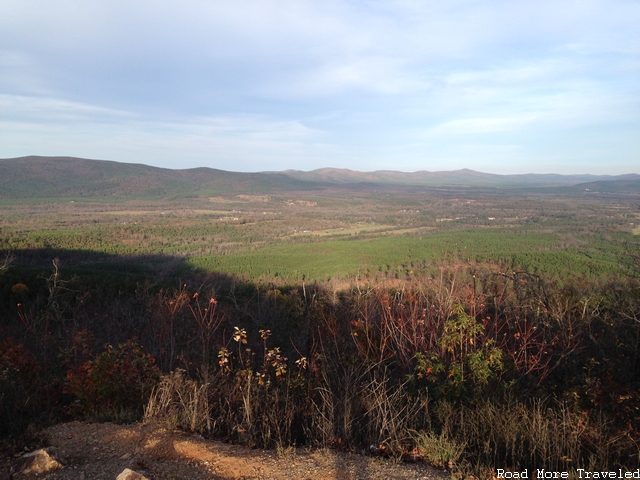
Finally, as we approached the east end of the byway, we finished our Saturday ride with a stop at Acorn Vista on the outskirts of Mena. You can see a bit of color here. The real attraction, though, is the sweeping vista of the Ouchita River valley to the north and northeast.
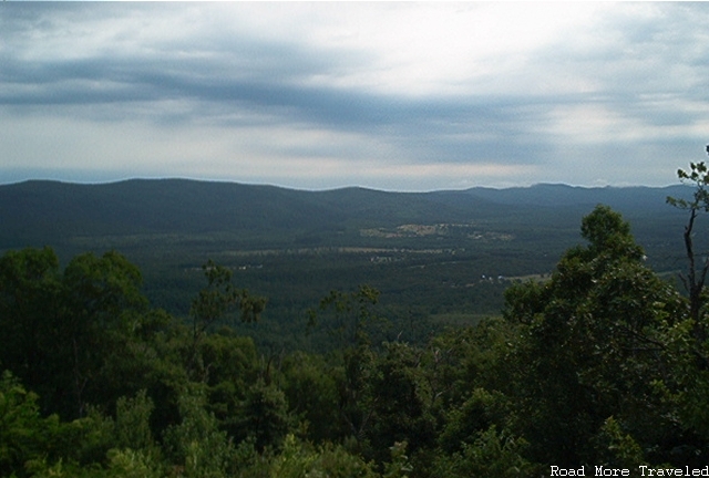
If you’re curious, here’s what the summer view of this same spot looks like. I took on July 1, 2005, with the spring green-up still at its peak.
Just past Acorn Vista, the road rapidly descends into the town of Mena, and you reach the end of the byway. Mission accomplished – we made it by 4:15, with still an hour and 15 minutes to spare before sunset.
Things to Know
- You can drive the entire 54-mile byway as a day trip from Dallas, though it will literally take you the entire day. We left at 10 in the morning, and didn’t return home until about 7:45 that evening.
- I drove the road from west to east, but it doesn’t really matter which end you start at. The drive took us approximately two hours to complete, though allow more time if you want to squeeze in some hiking into your itinerary.
- If you want to visit next year for fall foliage season, peak color normally occurs in the first or second week of November. Mother Nature doesn’t operate on an exact schedule, though, so check conditions here before heading out to avoid disappointment.
- The road is not particularly challenging to drive, though there are a few steep grades, especially on the Oklahoma section west of US 259. Use caution as you can be caught off-guard by curves at the bottom of hills if you pick up too much speed on the downgrade.
- Though a rare occurrence, do not attempt to drive the byway during snow or ice conditions. Neither Oklahoma nor Arkansas maintain the road during winter weather conditions, and it may close at any time.


