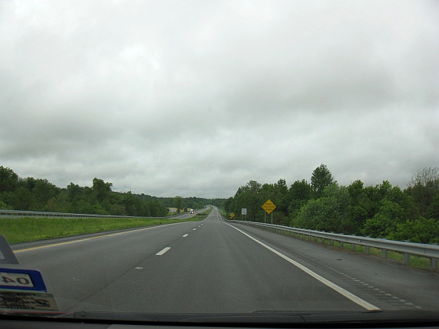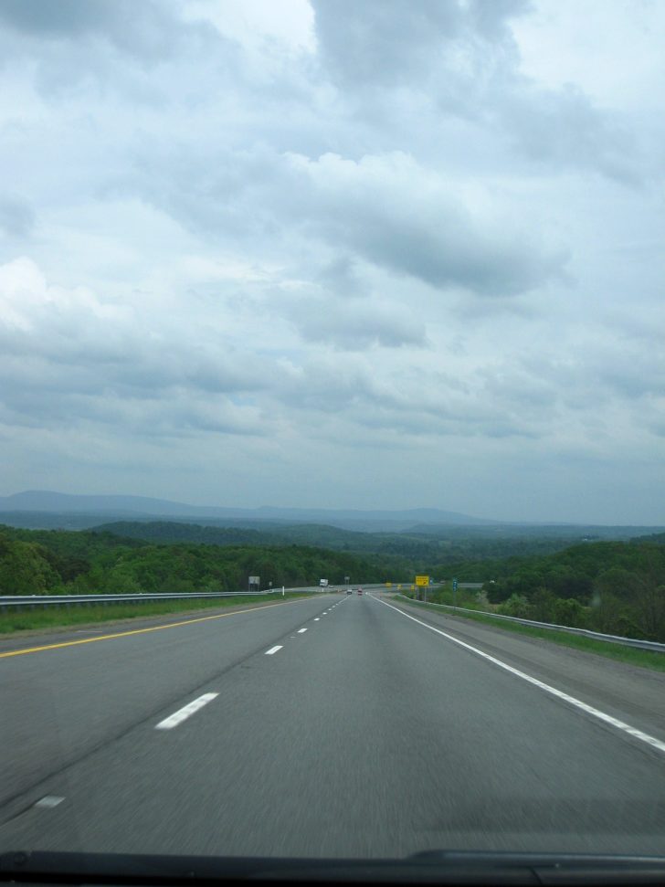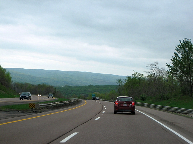
Interstate 68, Allegheny Mountains west of Cumberland, Maryland
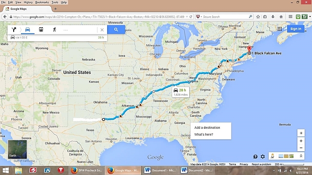
This is technically Part 3 of my road trip to Boston/cruise to Bermuda trip report mega series, following in the footsteps of my review of the Frog & Onion Pub in Bermuda and my cruise review, but his installment is, in fact, the very beginning of the trip (for the trip report index, click here). And what a whirlwind start it was. We wanted to get to the port in Boston no later than noon on Friday, May 16th, and we planned to leave home after work on Tuesday, May 13th. It’s roughly 1,850 miles from Dallas to Boston; this is what our planned route roughly looks like on a map:
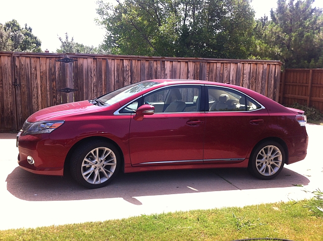
And also, meet our trusty chariot for our journey, my 2010 Lexus HS 250h.
We decided to take my car instead of my wife’s roomier CR-V because of superior gas mileage, nearly 35 mpg in my car, a hybrid, vs. about 25 in hers. That would make a huge cost difference on a 4,000 mile road trip.
Yes, that’s pretty much halfway across the country. We could make it on that schedule – but it would be 2 1/2 days of hard driving, without much time to stop anywhere along the way, aside from meeting my cousin for dinner outside New York City on Thursday. It wouldn’t be that much of a problem, though, as we’d have the second half of Friday and all day Saturday, an at-sea day, to recuperate.
And so with no further adieu, it’s time to hit the road!
Day 1/2 – Tuesday, May 13, 2014
Departure: Plano, Texas; Scheduled 6:15p; Actual 6:11p
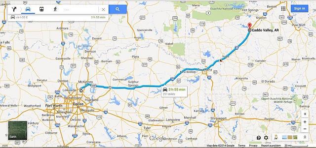
Arrival: Caddo Valley, Arkansas; Scheduled 10:08p; Actual 10:02p
Distance: 251.8 miles
Map of Route:
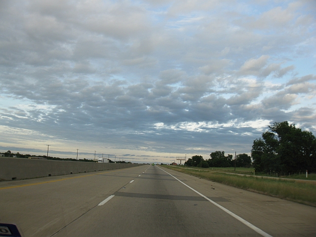
An unseasonably strong cold front had blown through North Texas the day before, bringing heavy rain and a rare mid-May chill, with a high that day only in the lower 60s. Another round of rain was scheduled to hit that night, and then really spin up into a full blown storm the next day as we drove from Arkansas to Kentucky, so I was really hoping to get started a little earlier than expected so that we could also start a little earlier the next morning than scheduled. Alas, it just wasn’t to be; I did make it home by 4:15, but the car always takes longer to load than you think it will. At least we did beat the rain. There wasn’t much of interest on the itinerary today, as we made our way to IH-30, then headed east and northeast into Arkansas, just to get a few hours head start on the driving. The unseasonably cool day did end with a fine Texas sunset, though.
This would also prove to be the last real sun we’d see until Thursday afternoon, more than 40 hours later. I’ve generally been the beneficiary of some truly exceptional weather on my road trips, featuring cloud-free skies over Mount Rainier not once but twice, to overcast, 80-degree weather in the Australian Outback in summer, to sunny and upper-60s on the 3rd of July in the Black Hills of South Dakota. We made it to our stop for the night, the Quality Inn Arkadelphia, with dry weather, but I would pay for all of my previous luck in spades over the next two days.
NOTE: You may be wondering about hotel reviews. When we road trip, we typically don’t stay anywhere fancy, instead opting for inexpensive, budget-to-midrange accommodations (think Comfort Inn to Hampton level). Why? My priority on long drives is proximity to the highway, along with complimentary WiFi, parking, and on-site breakfast so we can make a quick getaway in the morning. I love to splurge on fancy-pants hotels as much as anyone, but they typically don’t work well on a road trip, where you just need a bed for a night and want to get in and out quickly. The places we stayed at were perfectly fine, but not really worth writing or reading about. I’ve included the name and a link to my Trip Advisor review (where I’ve done one) if you want to know more.
Day 1 – Wednesday, May 14, 2014
Departure: Caddo Valley, Arkansas; Scheduled 8:00a CDT; Actual 8:07a CDT
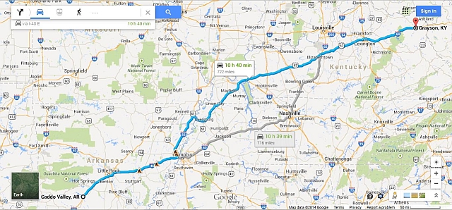
Arrival: Grayson, Kentucky; Scheduled 9:02p EDT; Actual 9:00p EDT
Distance: 724.3 miles; 976.1 miles cumulative
Map of route:
Just as the weatherman promised, the new day brought rain. Naturally, the weatherman had to be right this one time…but anyway, we hit the road pretty much right on time, and started heading east on IH-30 again. The first part of the day was dreary, though not horrible; a steady, cold rain followed us through Arkansas and into Missouri, though the drive was still manageable and it didn’t slow us down much. One downside – we had planned to have a picnic lunch just past the Tennessee state line, but with rainy, 55-degree weather on tap, that wasn’t going to happen, so we settled for a super quick meal at Taco Bell. Another downside – rain and cold weather REALLY kills gas mileage in a hybrid, so we were sucking gas a lot faster than I wanted.
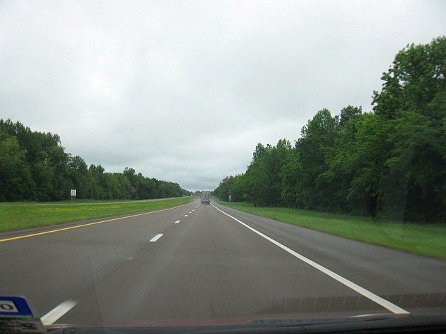
By early afternoon, the rain briefly tapered off enough to be able to get a couple of photos of the lush forestland of northwestern Tennessee and southwestern Kentucky.
US 51 north of Dyersburg, Tennessee
Julian Carroll Purchase Parkway, south of Mayfield, Kentucky
The break didn’t last long, though, and the Kentucky rain soon came pouring down – hard. That lasted about an hour, after which we finally outran our friend the cold front. The temperature warmed up about 15 degrees, and the rain stopped for a brief while. But the break didn’t last long. Not even an hour later, the nastiest weather of the day struck – thunderstorms with heavy rain – which followed us all the way to the western suburbs of Lexington. This was really a bummer, because Kentucky’s Bluegrass Parkway, cutting through the heart of Bluegrass Country and the Kentucky Bourbon Trail, is a wonderfully scenic highway, which we were unfortunately unable to enjoy.
Finally, though, as we eased east of Lexington on I-64, we outran the rain again, and we had smooth sailing for the last 100 miles of the day. We even caught our first peeks of the Appalachians as the daylight faded.
Amazingly, despite all the rain, we were able to keep right on schedule (mostly thanks to an abbreviated lunch stop), and we rolled in to the Quality Inn Grayson for the night on-time, and no worse for the wear. As we unpacked the cooler to make a couple of sandwiches, though, I discovered that I left the vegetables behind at the motel in Arkansas. Grrr….the pitfalls of road tripping…
Day 2 – Thursday, May 15, 2014
Departure: Grayson, Kentucky; Scheduled 8:00a; Actual 8:08a
Arrival: East Hartford, Connecticut; Scheduled 10:23p; Actual 10:24p
Distance: 764.7 miles; 1,740.8 miles cumulative
Map of Route:
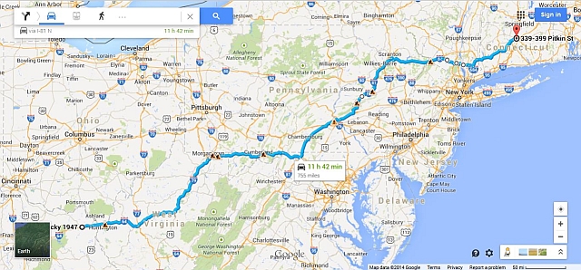
The cold front we outran in Kentucky the afternoon before was scheduled to overtake us again during the night, brining the rain along with it. Much to my surprise, it wasn’t raining when we woke up, though a quick check of the radar showed we were only in a small donut hole, and would soon drive back into the rain as we headed east into West Virginia.
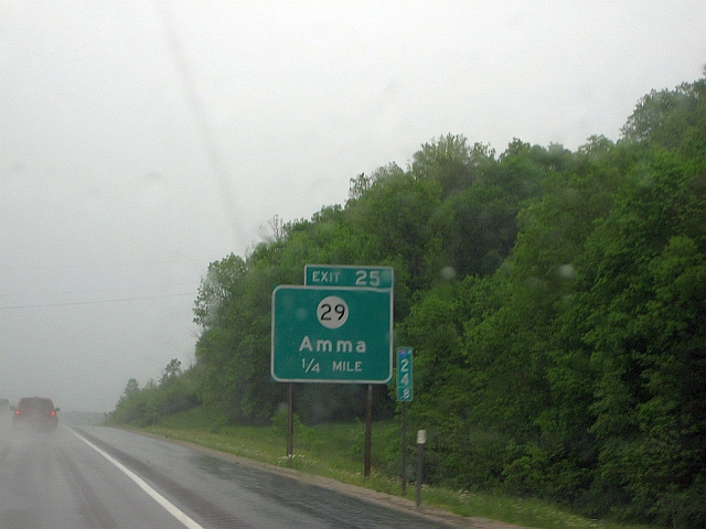
Sure enough, our good fortune lasted all of 60 miles, as the rain picked up as we hit the western suburbs of Charleston. And this would prove to be some NASTY driving, with the rain picking up in intensity as we headed north on winding, mountainous IH-79. Much like our wet trip through Bluegrass Country the day before, this was unfortunate, as IH-79 between Charleston and Morgantown is probably one of the most scenic interstates in the eastern half of the country, as it winds its way up and down the foothills of the Appalachians. Needless to say, driving on a wet, curvy highway isn’t much fun. I did have to take a picture of this interesting sign, though:
Why is this interesting? In my parents’ native tongue, the Tamil language, “amma” means “mother”. I’m pretty sure that’s not what the good folks of West Virginia had in mind when they founded this town, but still, my relatives got a kick out of it.
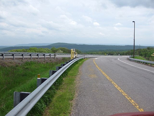
Soon thereafter, we hit our first highway incident of the trip, with an electronic signboard indicating a freeway closure ahead because of an accident. Fortunately, I was able to whip out Google Maps on my phone and find a way around it, so we only lost about 20 minutes off our schedule. Turns out the interstate was backed up for nearly 5 miles, so we saved ourselves a bunch of time. The poor driving conditions continued for a while longer, though, until finally, more than 260 miles into our day, we outran the front again, as we headed east on IH-68 in western Maryland. This time, we’d outrun it for good, or at least so we hoped. The sun even started to peek out as we sped through the Allegheny Mountains, and the now beautiful 75 degree afternoon called for a picnic stop and a photo op.
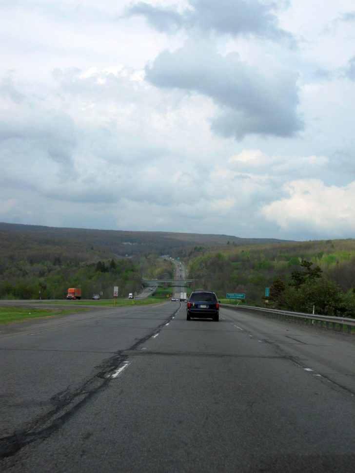
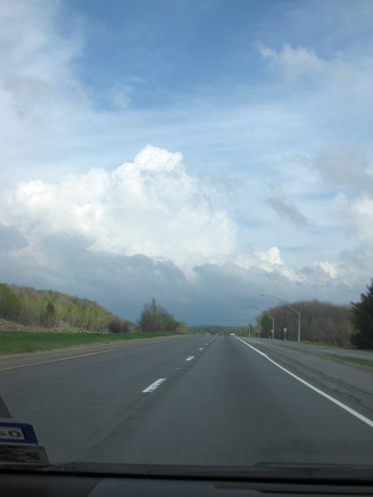
Aside from the occasional scattered shower, the weather mostly cooperated for the rest of the day, so we could enjoy the spectacular scenery of Maryland’s Allegheny Mountains, and later the Poconos of Pennsylvania.
Interstate 68, Allegheny Mountains of Maryland
Interstate 84, Pocono Mountains, east of Scranton, PA
Thunderstorm ahead on IH-84, Pocono Mountains
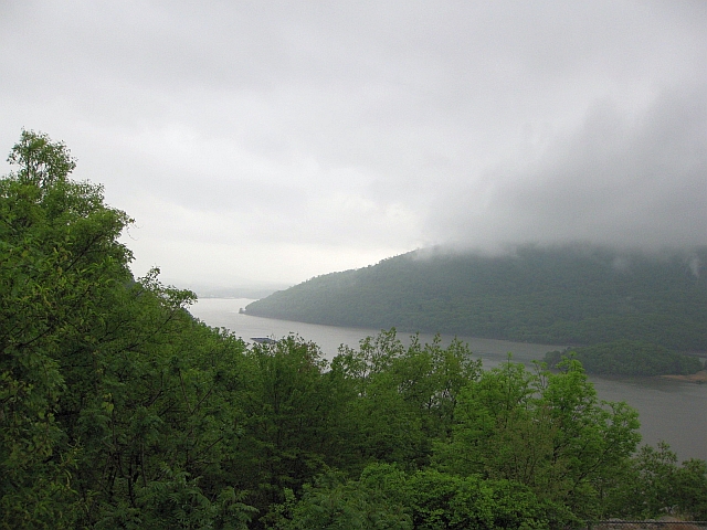
You may be wondering why there’s an odd kink in the route towards the end north of New York City, and why it seemed to take us so long to actually get to our end point for the day. Well, my cousin, who lives in the far northern suburbs of NYC, was gracious enough to invite my wife and I to dinner at her house when I told her we’d be driving through her neck of the woods. I’ll never turn down a free, home cooked meal, even if it means going a little out of the way, so we took her up on her offer. Just before we got there, we crossed over the historic Bear Mountain Bridge across the Hudson River. An annoying, misty rain had taken hold by this point, but the mist and low clouds provided for a hauntingly beautiful view of the river valley from a scenic overlook.
After filling my belly with homemade channa masala (chickpeas curry) and paneer butter masala (cottage cheese in cream sauce curry), we bid farewell to my cousin and made the final, 80-mile run to East Hartford and our reservation at the Hampton Inn there. I was beat after a long day in less-than-ideal conditions, but we could sleep in a little the next morning, so all was good.
Day 3 – Friday, May 16, 2014
Departure: East Hartford, Connecticut; Scheduled: 10:00a; Actual: 10:05a
Arrival: Boston, Massachusetts; Scheduled: 11:52a; Actual: 11:50a
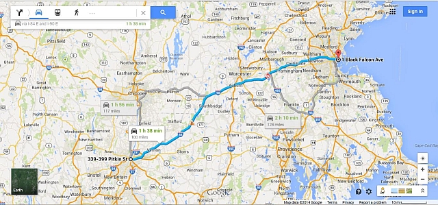
Distance: 101.5 miles; 1,842.3 miles cumulative
Map of Route:
You may be wondering, why on earth stop in Hartford when it’s only another 101 miles to Boston? Easy answer: hotels, even during a relatively slow time in mid-May, are nearly double the cost in downtown Boston. That’s money I’d much rather be spending on fun stuff in Bermuda. In any event, with less than 2 hours to go, and a target arrival time at the port of noon, we slept in a little, and took our own sweet time enjoying Hampton’s legendary breakfast spread.
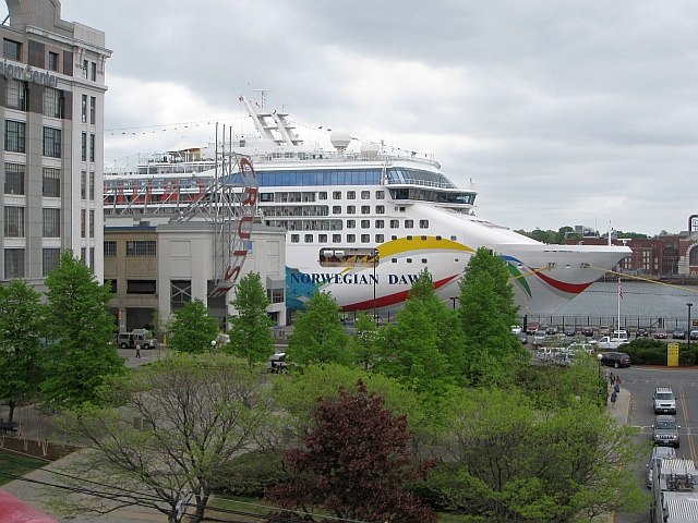
Despite the annoying misty rain continuing most of the way, the short drive was uneventful, aside from a brief moment of panic at a gas stop just past the Massachusetts border where I thought I lost my primary credit card at the hotel (I carry two on a trip just to be safe, though upon further examination, I just stuck it in the wrong slot in my wallet). With no sign of that legendarily awful Boston traffic during the late morning, we arrived at the port’s parking garage right when we wanted to, and caught a glimpse of our floating home for the next week – a real sight for our sore eyes!
Whew! After a wet, whirlwind three days of hard driving, we made it! Time to veg out on our balcony for a day and a half to recuperate before arriving in Bermuda on Sunday.
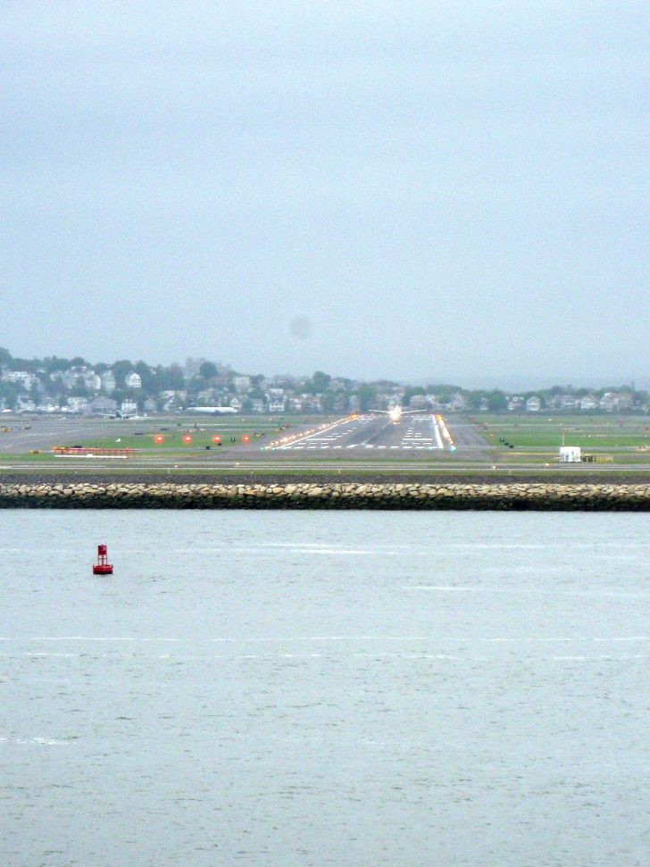
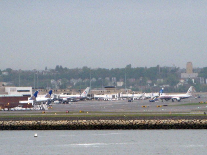
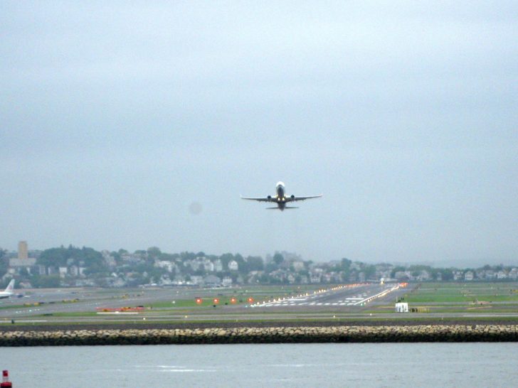
One of my favorite parts of cruising is the sailaway from port, which usually provides great views of the city as you sit back and relax on your balcony (which is why I recommend ALWAYS paying extra to move up to a balcony stateroom). All you aviation geeks out there will really enjoy this – our ship passed right in front of Boston Logan Airport, providing for some great plane spotting as we passed within view of the main runway.
Plane lining up for takeoff
View of terminal with various AA and UA aircraft
Initial take-off, with another plane lining up behind
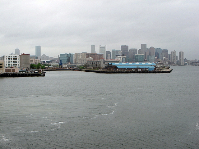
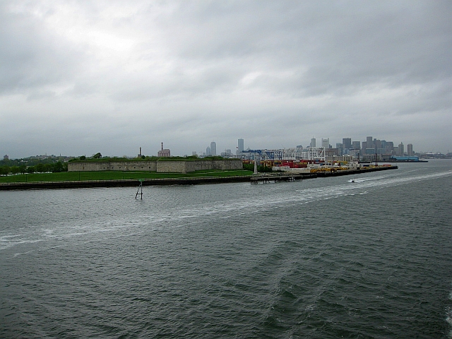
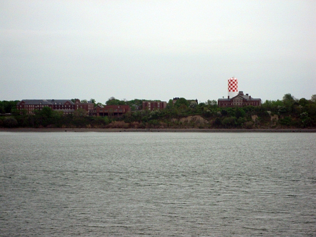
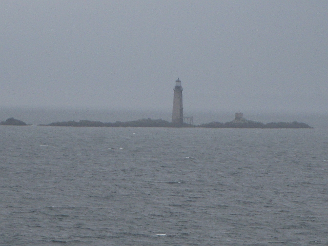
As the overcast continued to lower during the evening, we were treated to outstanding views of the Boston skyline, Fort Independence, a set of old colonial buildings on Long Island owned by the city, and the Boston Light as we sailed southeast out of downtown (thanks to Brian for identifying the last two items).
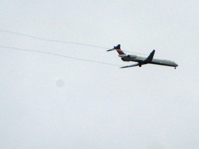
And one last bone for you AvGeeks – a condensation trail on a Delta MD-90 on final approach to BOS.
For those who like photos, you can view many more pictures on Flickr of our drive to Boston, our sailaway from the cruise port, and our day at sea at the following links:
In my next installment, I’ll cover our first day in Bermuda, exploring the Royal Naval Dockyard area, and intentionally taking a boat to the Bermuda Triangle at night.

