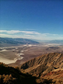
Badwater Basin as seen from Dante’s View
I’d always had a certain fascination with Death Valley National Park. As a weather and geography geek, the idea of visiting the lowest, hottest, and driest spot in North America always had its allure. I’d thought about going several times over the years, but for one reason or another, things never quite worked out. Finally, last November, I made it out there for a 3-day trip. After the jump, take a virtual tour of one of America’s most isolated yet beautiful places – America’s Mordor, Death Valley National Park.
NOTE: Once again, I realized as I started writing this post that there was too much content to squeeze into one post, so I’ve broken this up into three, one for each day we were in the park. I’ll post the first two installments this week, and the third next week.
This trip came about as an extension of a visit to the in-laws over the Thanksgiving holiday last year. We were planning to fly to LA and just stay with them for a couple of days, but then the thought occurred, why not try to spend a few days in Death Valley? Both me and the wife had been wanting to go, it’s certainly more pleasant to go in November, and flights to LA/hotels in the park were pretty cheap as long as we were willing to fly home on Thanksgiving Day. That made it a no-brainer, and so off we went.
We would have 2 1/2 days there, arriving on Saturday around noon and leaving Monday evening; like most National Parks, that isn’t enough time to see everything, but with a little advance planning, that’s usually enough to see the good stuff. This virtual tour will go in order of what we saw, and at the end, I’ll also highlight a few things that we didn’t have time to see, but wished we had if we had more time.
Death Valley Basics
A lot of people think of Death Valley as a giant desert, and while that’s true to an extent, the geography of Death Valley exhibits the diversity of many Great Basin landscapes – that is to say, a setup of mountain range, then valley, then another mountain range. This is what makes Death Valley so, well, deadly. The high mountain ranges to the east and west, rising to elevations in excess of 10,000 feet on the west side, serve to both block incoming moisture from either the Pacific Ocean on the west or the Gulf of California/Gulf of Mexico to the south and
southeast, but also to trap the heat of the Mojave Desert.
The result is an extremely hot/dry climate that features temperatures routinely exceeding 120 degrees in the summer, and an annual average rainfall of just 2 inches. It’s no wonder that the Valley doesn’t see too many visitors, but the park’s solitude enhances the area’s natural desert beauty. The great irony of this trip was I had just received a job offer the same day we were flying to LAX to make the drive to Death Valley, so this literally would serve as a walk through the desert to ponder my next move.
Since we were going in November, the weather was beautiful, with daytime temperatures in the 70s in the lowlands, and in the 50s in the mountains.
Itinerary At a Glance
As mentioned above, we spent 2 1/2 days in the park, arriving on Saturday around noon, and leaving late afternoon Monday. This virtual tour will go in order of what we saw by day, but here’s a quick cheat sheet that outlines our plan.
Day 1 – arrive in park, Mesquite Sand Dunes, Scotty’s Castle
Day 2 – Mosaic Canyon, Wildrose Charcoal Kilns, Rhyolite Ghost Town (Nevada), Dante’s View, Twenty Mule Team Canyon, Artist’s Palette
Day 3 – Salt Creek Oasis, Mustard Canyon, Zabriskie Point, Golden Canyon, Devil’s Golf Course, Badwater Basin, leave park
Entering the Park – Owens Lake, the Panamint Range, and the Panamint Valley
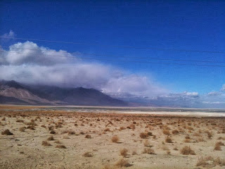
As I’ll explain later, there are two primary routes to enter the park, from the west on State Highway 190, and from the east on State Highway 127. We came in from the west, and the highway passes through the Owens Valley, with a view of the now defunct Owens Lake, before you get to the park.
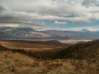
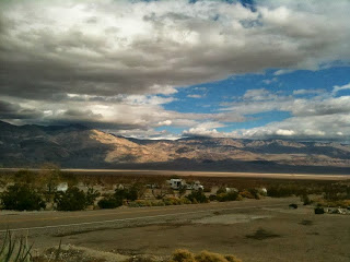
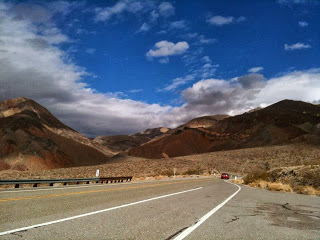
Eventually, you reach the park boundary, and the highway twists and turns through the mountains and canyons as you quickly descend from 5,000 feet down to 2,000 feet at the first park pit stop, Panamint Springs. There is a gas station, restaurant, hotel, and campground available here. The restaurant is about what you would expect from the park service – overpriced, and not very good, but hey, beggars can’t be choosey. First is a photo of the canyons as you descend to Panamint Springs:
And the view from the valley floor from the Panamint Springs restaurant:
Once you pass Panamint Springs, you then head up the Panamint Range and Towne Pass, back up to an elevation of just under 5000 feet.
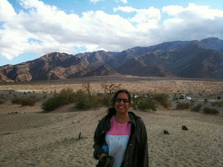
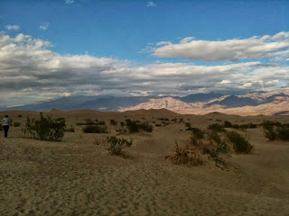
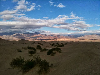
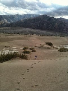
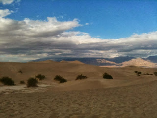
Once you clear the Panamint Range, you descend into the “true” Death Valley, rapidly arriving at sea level and the appropriately named Stovepipe Wells Village. Stovepipe Wells also features a gas station, motel, restaurant, and campgrounds, and it would be here that we would be spending the next 2 nights. We showed up just a little too early, and our room wasn’t ready yet, so we decided to go sightseeing first and come back later. Conveniently for us, the first point on our list was literally across the road, the Mesquite Sand Dunes. The dunes aren’t quite as
large as Colorado’s Great Sand Dunes, but climbing them still made for a fun afternoon (just wear sandals, or go barefoot, unless you like sand in your shoes). One note about both the dunes and the park in general: unlike most parks, hiking is “freestyle”, meaning there are no marked trails. If you can find a place to park, you can hike.
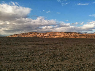
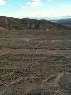
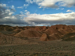
Once we were done with the dunes, we headed further into the park, with the intended destination Scotty’s Castle, in the far northeastern part of the park. Just as we turned off, though, we saw some interesting looking rock formations that deserved further investigation with a hike. What made this area unusual was all the sand and pebbles, but not a single piece of vegetation to be seen. Not even a stray blade of grass.
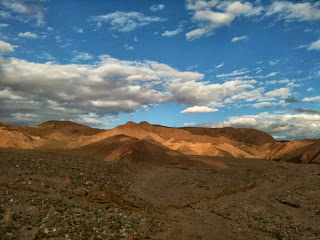
We eventually ended up at a series of golden colored badlands.
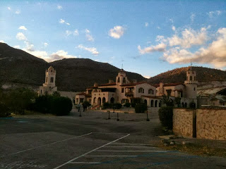
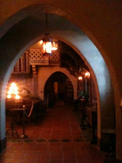
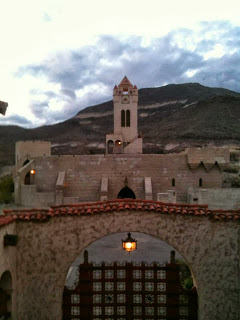
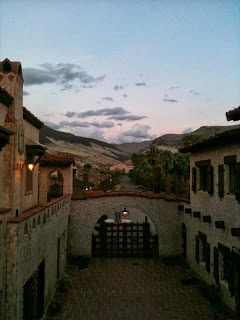
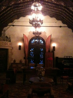
It was starting to get late, and we needed to get to Scotty’s Castle before the last tour of the day. We technically made it 5 minutes late, but the cashier still sold us two tickets and allowed us to join the group, which had just started their tour. “Scotty’s Castle” wasn’t built or owned by a guy named Scotty; it was actually built by wealthy New York financier Albert Johnson in the 1920s.
Johnson moved to Death Valley as he suffered from a chronic medical condition, and it was thought the dry, clean desert air would do him some good. The “Scotty” refers to confidence man Walter Scott, known as “Death Valley Scotty”, who had, ironically enough, swindled Johnson into buying a bogus mining claim in the valley. Ultimately, though, the con man ended up being conned himself. Johnson invited Scotty to live in and maintain his castle, and used Scotty’s ability to tell tall tales to attract tourists to visit the castle for a fee.
At this point, it was getting dark, so we headed back to Stovepipe Wells to check in to our hotel room. We did have one last bit of excitement for the day, though. As the clerk was checking me in, a motorhome in the campground across the street exploded. Thankfully, nobody was hurt in the small truck that is designed for rough use, and the fire didn’t spread to the rest of the campground or the motel complex. The clerk, apologetic for the delay and a snafu with the check-out date, upgraded us to a better room at no charge, without us asking. A very nice (and unnecessary) gesture on his part, and so if you decide to head to Death Valley, consider staying at Stovepipe Wells. I like to reward good service, after all.
In Part 2, I’ll cover the rest of our trip to Mordor.

