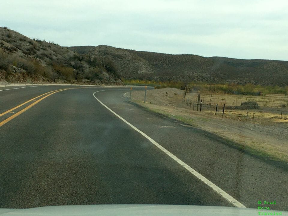
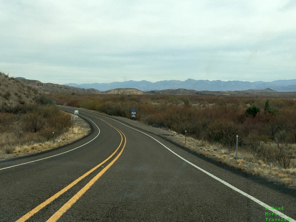
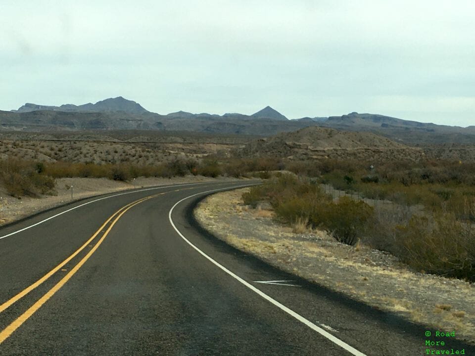
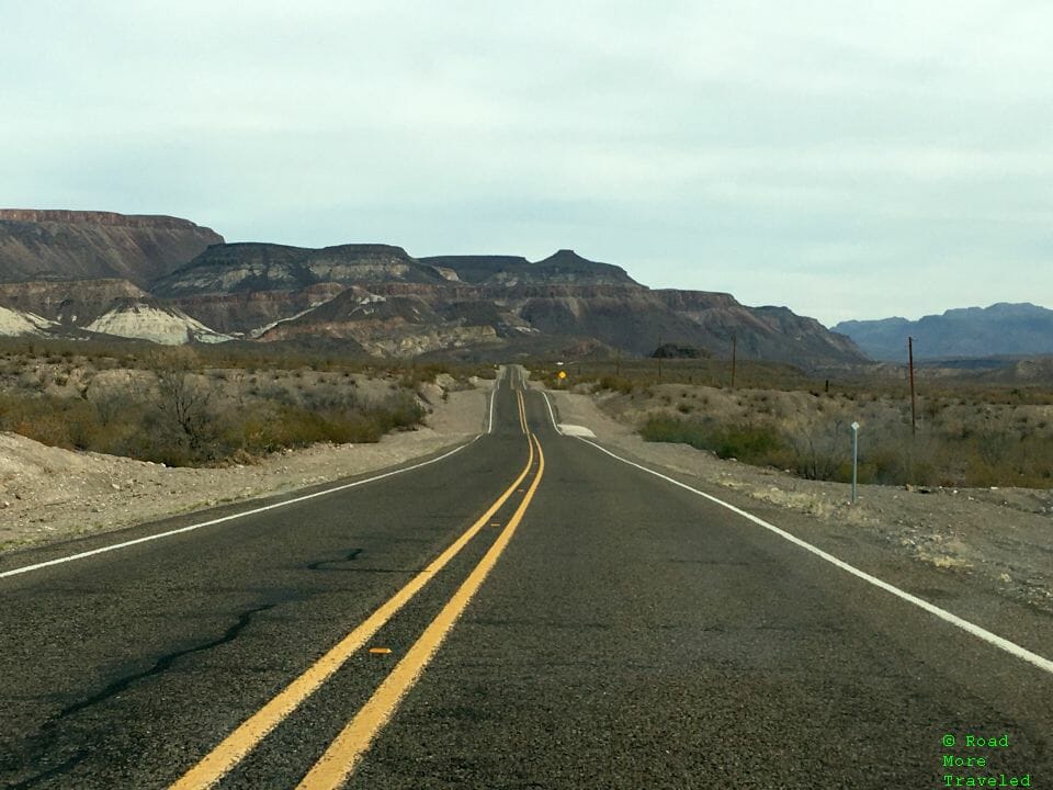
Back in February, I took a few days off and took my family out to Texas’ Big Bend region. The area is best known for its namesake National Park, which we did visit while there. However, there’s also several scenic desert drives to enjoy in the area. One of these is the most remote, and most scenic in the state. That’s the Big Bend Ranch River Road, a must see when visiting the area.
Big Bend Ranch River Road – The Basics
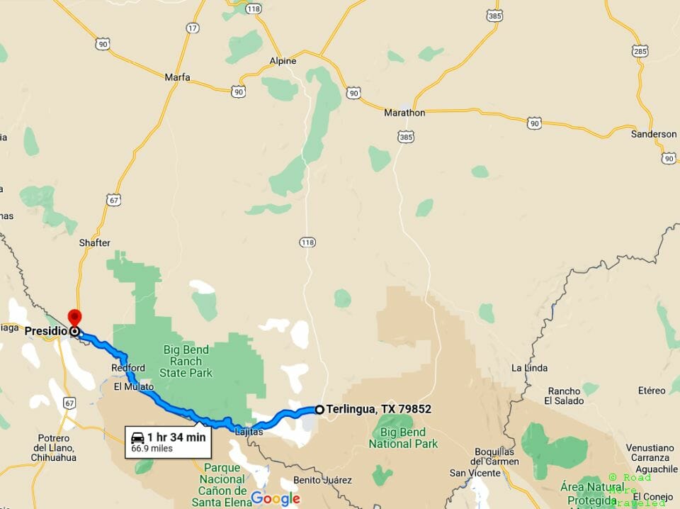
There are actually two stretches known as “River Road” in the same general area. The first is River Road within Big Bend National Park; this road runs 51 miles from Rio Grande Village to Castolon, roughly paralleling the Rio Grande. While you can drive this road, it requires a high-clearance 4WD vehicle. The River Road we drove, signed as Ranch Road 170, runs 67 miles from Terlingua to Presidio, through Big Bend Ranch State Park. Some area guides refer to the road as the “Camino del Rio”.
Just getting here, of course, requires some work. It’s roughly 570 miles from Dallas to Terlingua; the nearest commercial airport, meanwhile, is 230 miles away in Midland. Get gas in Terlingua if you need it, because the nearest stations elsewhere are 67 miles away in Presidio, or 80 miles away in Alpine. I meant it when I said this place is remote. There are, however, a fair number of lodging options (mostly Airbnb) at the east end of the road in Lajitas and Terlingua.
Unlike most highways out in far-flung West Texas, this is not a road meant for speed. The 67-mile Ranch Road 170 takes a minimum hour and a half to complete, if you drive straight through. How much time you spend depends on how much time you want to spend taking photos, and exploring Big Bend Ranch State Park. Note that most of the scenic areas along the river lie within the state park boundaries; you’ll need to pay the fee either at the visitor center or at drop boxes in parking areas. The fee is $5 per person above 13 years of age (October through April only).
Beware – it gets brutally hot down along the river in summer, which lasts quite a long time. It regularly exceeds 100 degrees by late April, continuing through late September. (The high was 101 as I wrote this on April 30th, just 5 degrees above normal.) If you plan to hike, dress accordingly and bring plenty of water with you – even for a short stroll.
A Quick Jaunt to Mexico Before Our Scenic Drive
For our visit to Big Bend, we stayed in Alpine, 80 miles to the north of Terlingua. My son really wanted to go over to Mexico first, though. Not so much to look around, but because he really wanted a couple of “scratchy blankets”. There actually is a border crossing at Boquillas Canyon in Big Bend National Park (pedestrian only). However, unlike most crossings between Texas and Mexico, CBP requires a passport to use the one in the park. My son still doesn’t have one, making that a no-go. There is a standard crossing in Presidio, though, where US citizens under 16 can return with only a birth certificate. So we decided to head there first.
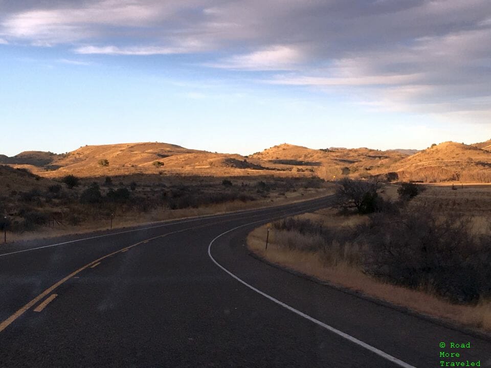
To reach the border from Alpine, it’s about 85 miles via Marfa down Highway 67. The drive from Marfa to Presidio is scenic in its own right, as the highway winds through the Chinati Mountains.
Disclaimer: CBP makes it very clear; children under 16 returning by vehicle, ship, or on foot do not need a passport to reenter the US. The rules to enter Mexico, however, aren’t so clear. Previously, you could enter the “free zone” along the border without a passport. Travel beyond the Zona Libre required obtaining a Forma Migratoria Multiple (FMM, or Tourist Card), which requires a passport. Recently, though, some sources indicate the Mexican government started requiring a FMM even to enter the border zone. Whether this is actually enforced – your mileage may vary. The Federales at the Presidio – Ojinaga bridge didn’t even ask for ID when we crossed. Other reports suggest the FMM requirement is enforced at other crossings, though, specifically Tijuana.
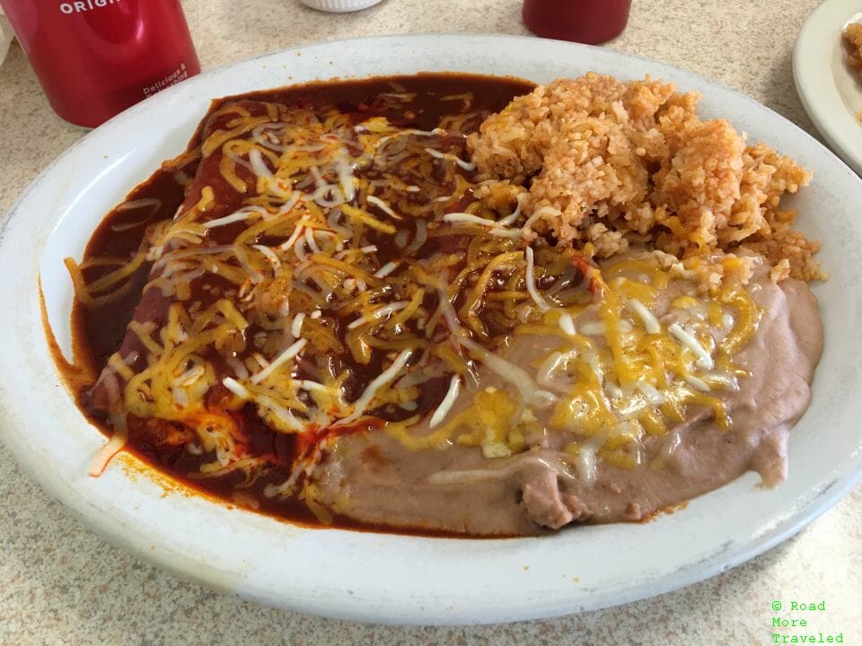
Anyway, before walking across, we filled up on Tex Mex at a dive called El Patio. This is a tiny little place with like 4 tables inside, and but a handful of items on the menu. And yes, it helps to know a little Spanish. The cheese enchiladas with red sauce were pretty tasty.
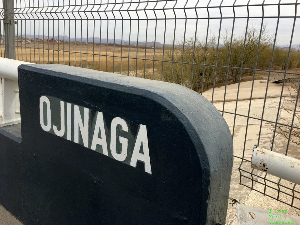
Actually crossing the border at Presidio is pretty easy, at least on foot. Head to the west side of the bridge for the pedestrian crossing (left side when approaching the border). There is a small parking lot at the CBP checkpoint, or you can park on one of the side streets off Highway 67. It takes about 15 minutes to make the walk across the Rio Grande to Ojinaga, Chihuahua.
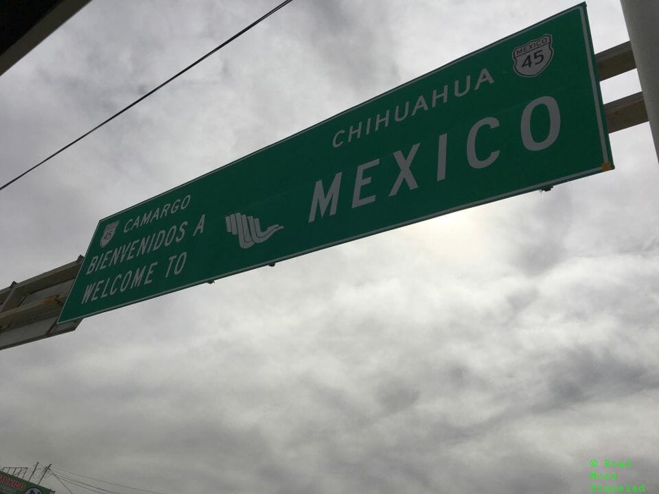
Once across, there’s a large Welcome to Mexico sign before entering the town.
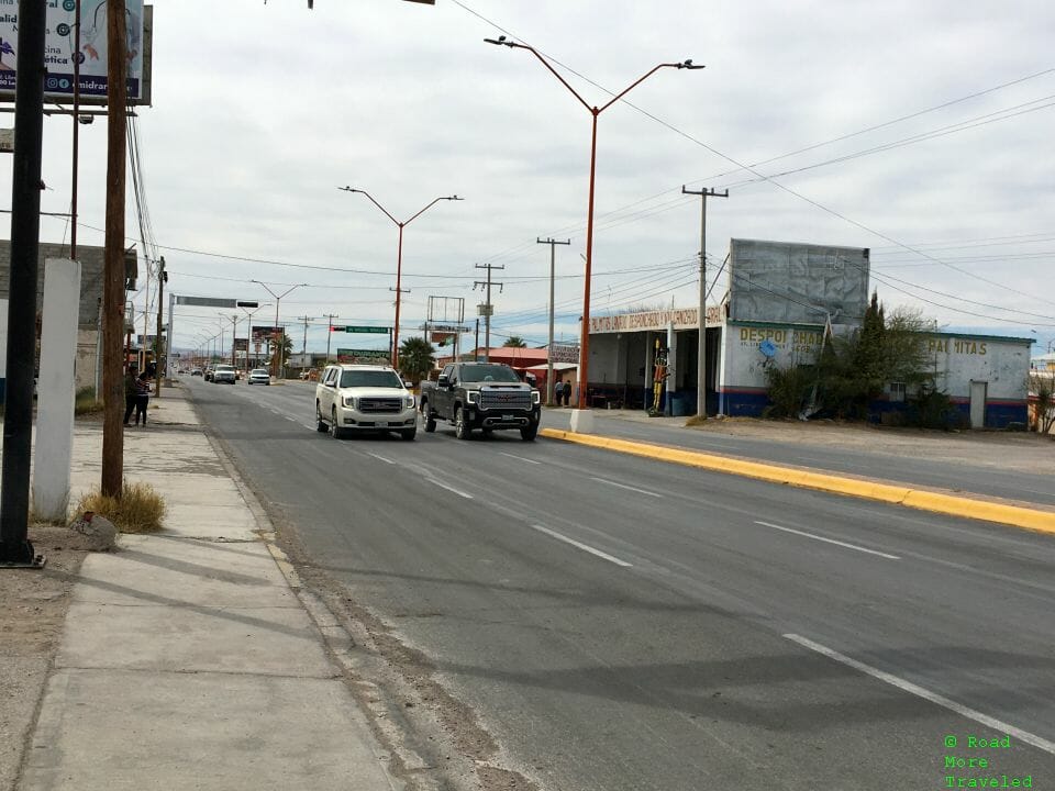
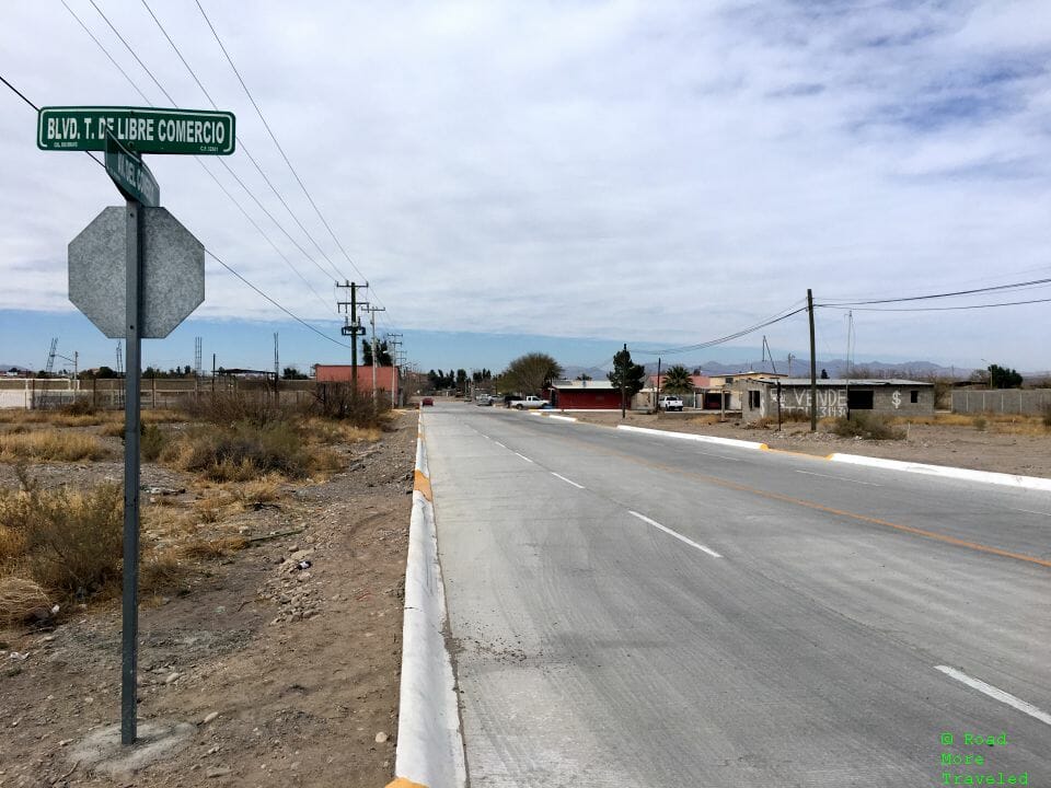
Ojinaga is a small border town of about 20,000 people. There’s not actually much to the town. Most people cross just to visit family on one side or the other. It’s largely a dusty desert town with a small commercial district along the road leading to the bridge.
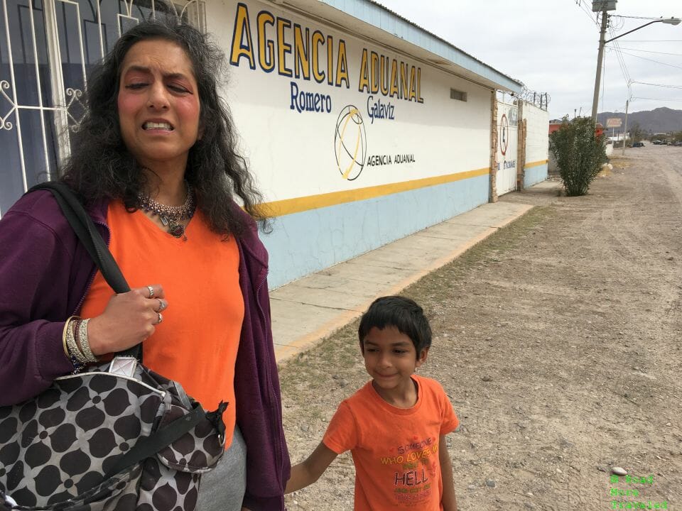
My son did get to pose for a picture in Mexico to show off to his preschool class. (This actually counted as his second trip to Mexico. But since the first was when he was 15 months old, it doesn’t really count.)
It’s about a 20 minute walk from the bridge to downtown, though there are a few shops along the main highway, along with a few restaurants to grab cheap food and beer. We did succeed in getting Ashok his scratchy blankets, along with a cup he likes using for juice.
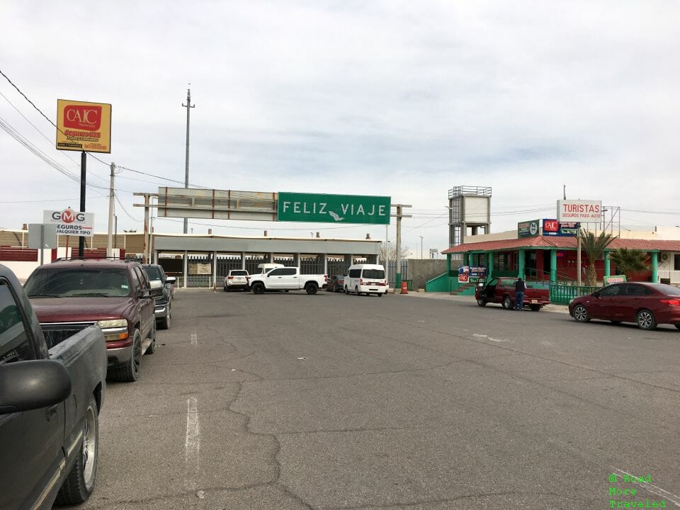
After getting our blankets, we walked back to the bridge to head back to Presidio. The same welcome sign wishes you a happy journey home on the other side.
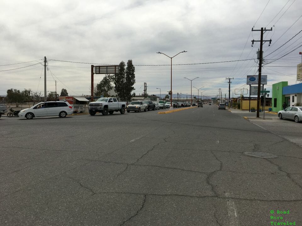
I also reminded myself why walking across represents such a better option that driving. Going INTO Mexico usually isn’t much of a problem. Getting back on the other hand? The line for the bridge stretched more than a mile into Ojinaga. It looked to me like a 2-3 hour wait to get across.
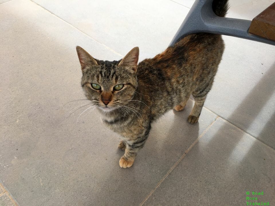
As we entered the pedestrian crossing area to leave Mexico, a friendly stray cat came over to say hello.
Anyway, there is a toll of 25 cents per person to walk across from Mexico back to the US. Very few pedestrians cross at Presidio, so aside from the walk across the bridge, there’s no wait. It took literally 2 minutes to get through customs. And the CBP agents here actually weren’t rude!
Driving the Big Bend Ranch River Road
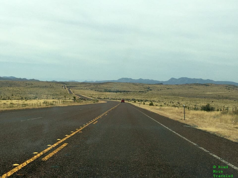
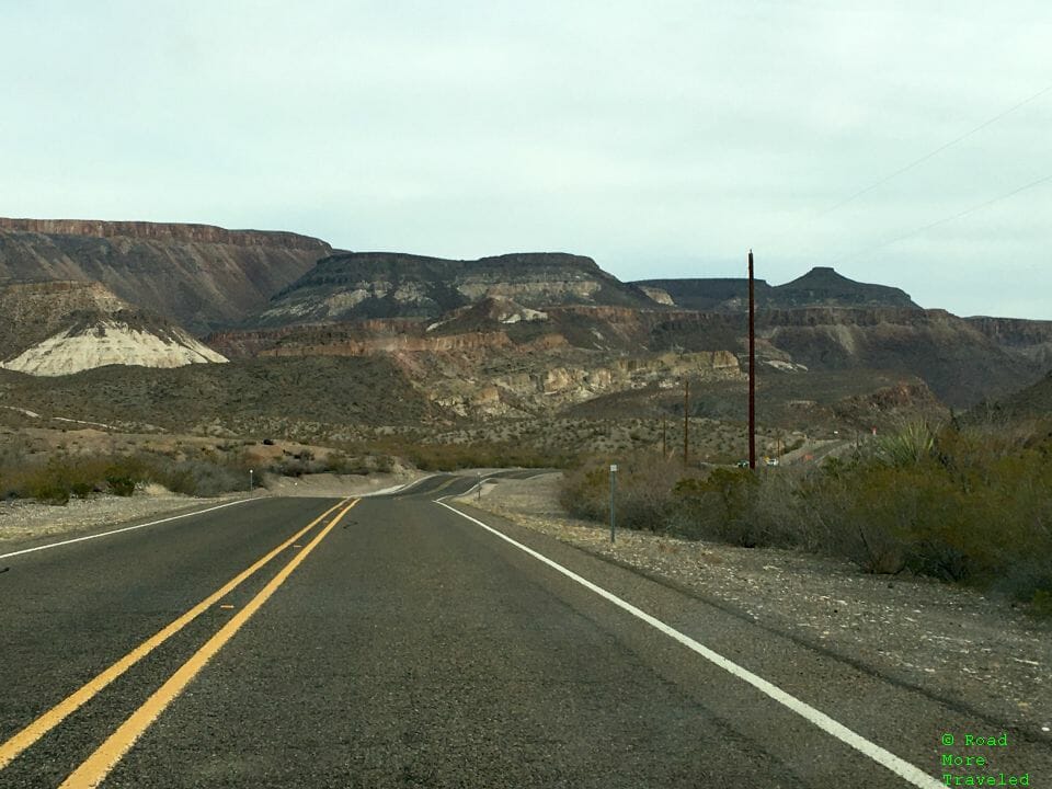
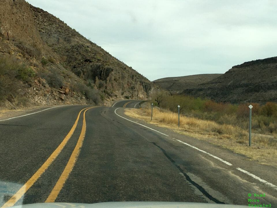
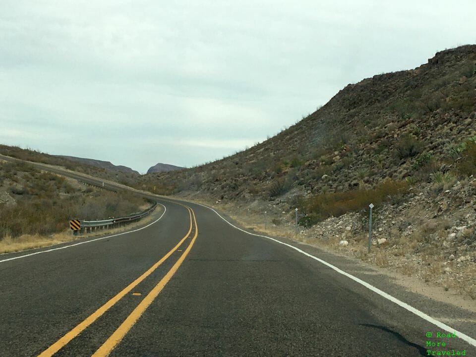
Our shopping run to Mexico complete, we headed east on the River Road to Terlingua. The first ~15 miles are easy enough, with a few sweeping curves through the mountains hugging the river. One thing you’ll notice is a relative abundance of vegetation for this otherwise dry desert. Despite only 8-10 inches of rain annually, the Rio Grande runs year-round, bringing welcome moisture to the desert.
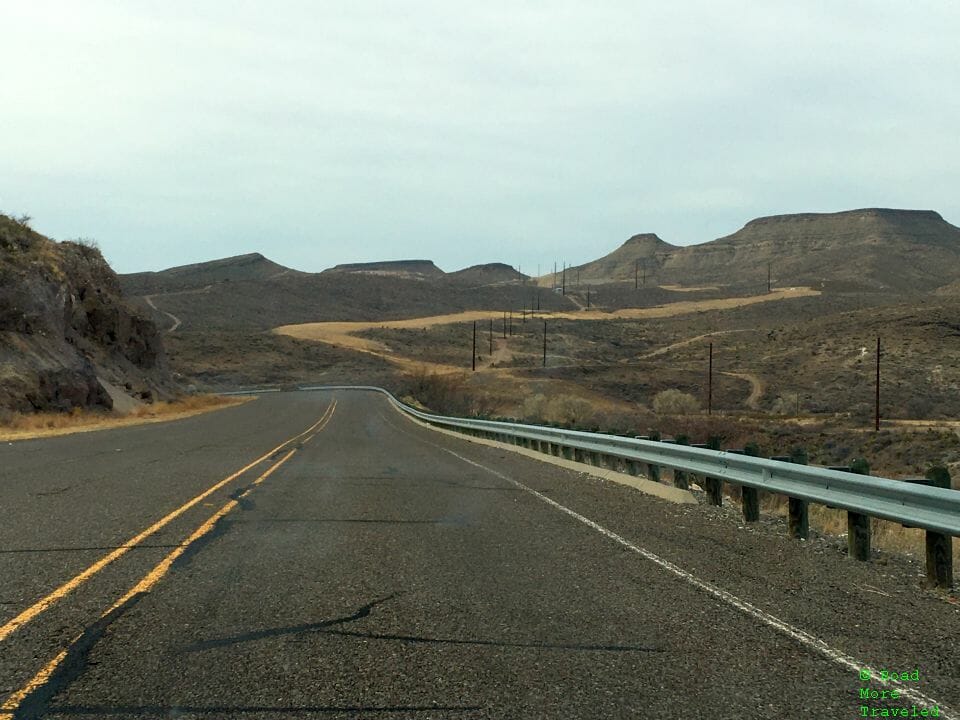
The mountain terrain begins getting more rugged as you continue east, with the higher peaks of the Bofecillos Mountains looming ahead.
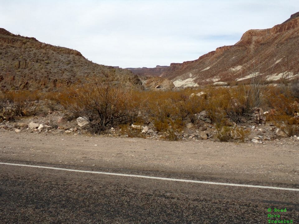
The middle ~35 miles between Redford and Lajitas rates as the most scenic. In fact, I’d rate the drive through the canyon as among the most scenic in the country. This is the stretch that passes through Big Bend Ranch State Park. As you approach the park boundary, the cliffs turn colorful. It’s somewhat reminiscent of Artist’s Drive in Death Valley National Park.
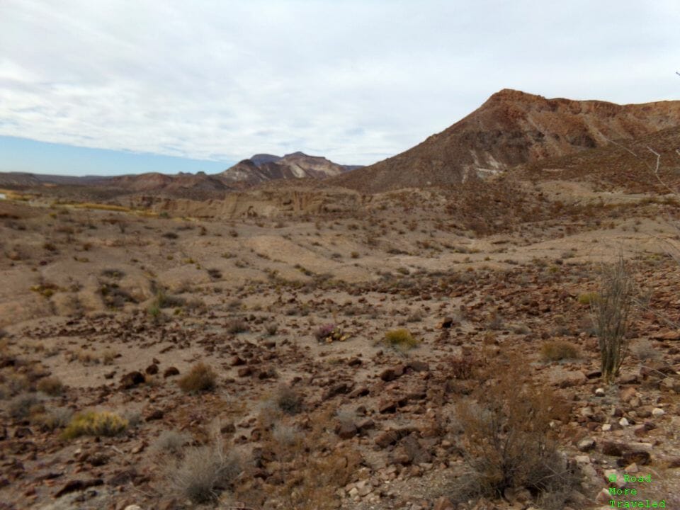
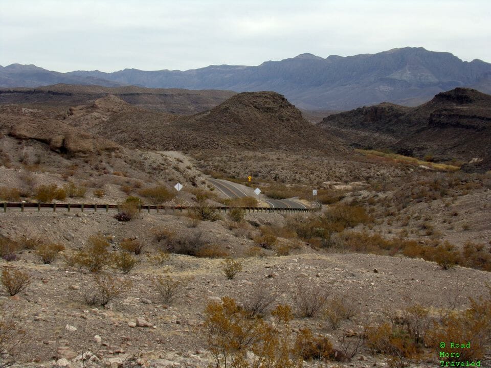
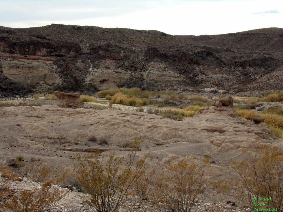
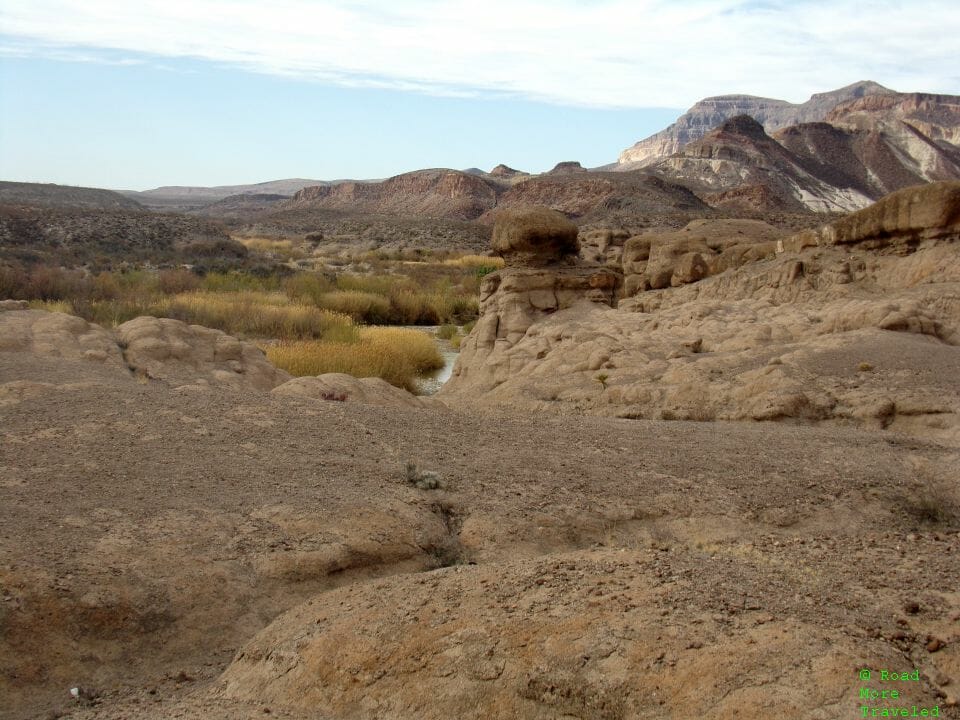
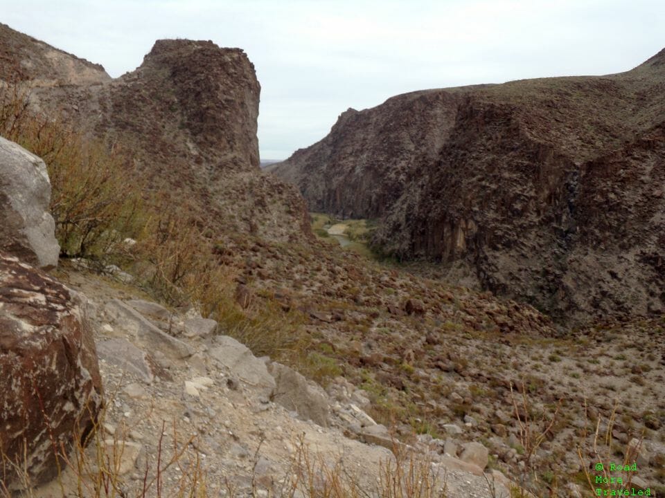
Not long after entering the state park is the Hoodos and Balanced Rock Trail. As the name implies, the trail takes you through some badlands-like rock formations. As an added bonus, you can follow the trail all the way down to the river. Up at the top in the parking lot, there’s some nice views of the desert, the river, and the road winding through the canyon to the east. Note also that if you didn’t buy a pass at the visitor center, there’s a self-pay station here where you can buy a day pass.
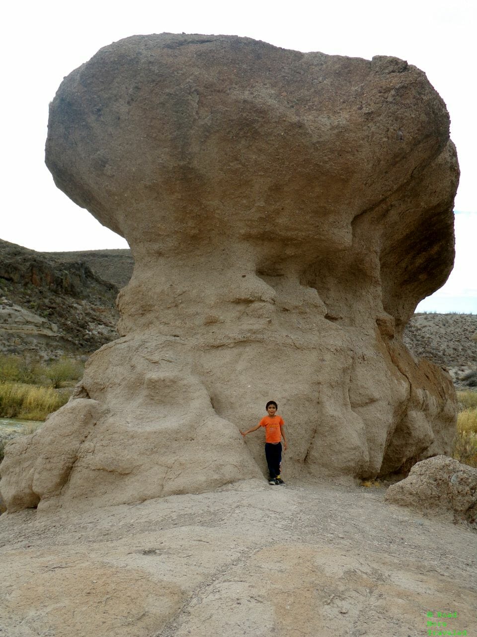
My son and I decided to take the short walk down to the river. As you start the descent, you work your way through some balanced rock formations. (There’s not a ton of elevation change, so it’s not a strenuous walk back up.)
My son certainly has grown, but he’s still no match for the huge balanced rock.
You can also enjoy a view of the Rio Grande before heading on down.
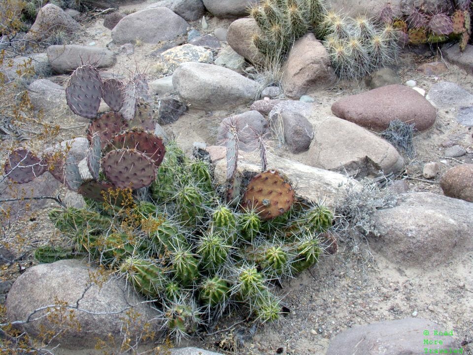
From the rocks, the trail down to the river is rather loosely defined. Pretty much any path you can find down is fair game; just watch out for cacti and thorny bushes. The bush leaves WILL stick to your pants.
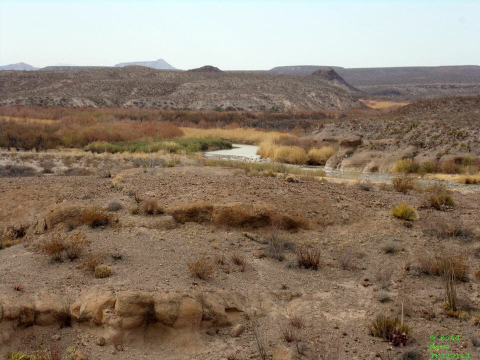
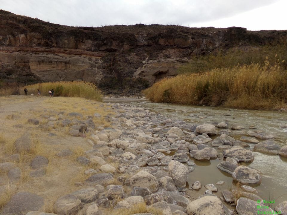
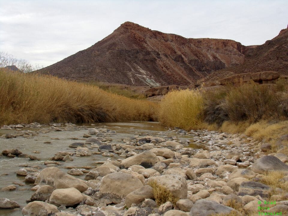
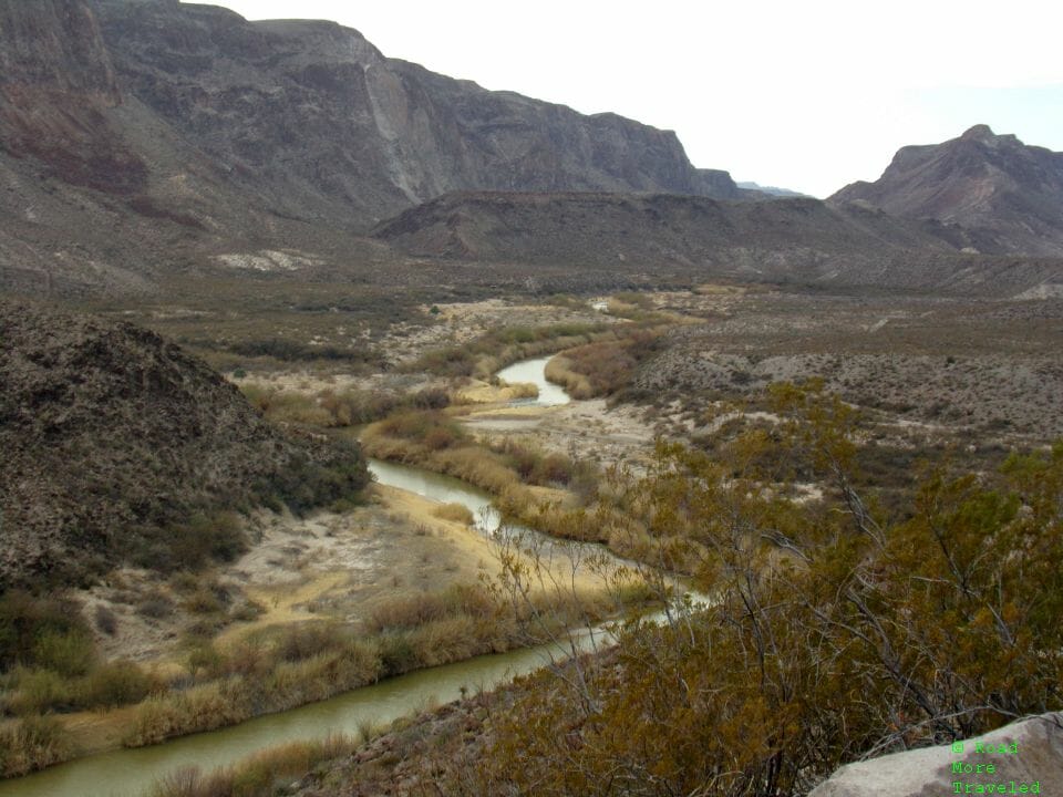
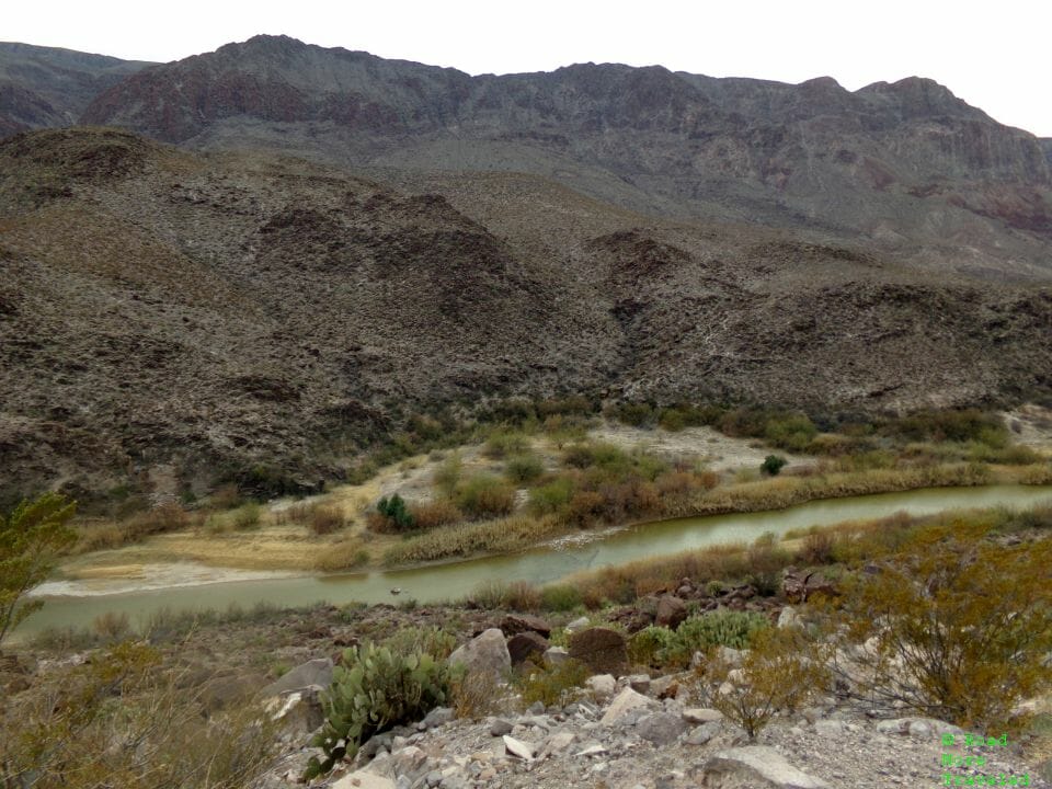
Down along the river, the vegetation is quite lush for the middle of the desert. The river in this area isn’t very deep, maybe a couple of feet. You could literally pick up a stone and throw it over to Mexico here.
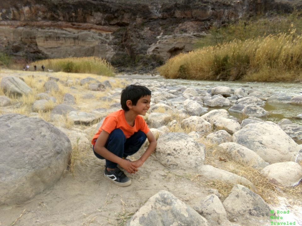
Meanwhile, my son enjoyed making funny faces at nothing in particular to avoid having his picture taken.
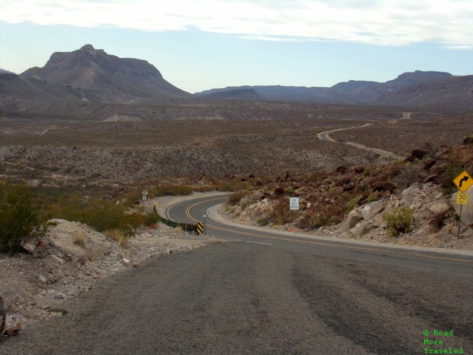
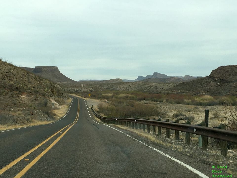
The section east of the Hoodos Trail is probably the steepest, twistiest section of state maintained highway in Texas. The challenging mountain road gives you a real roller coaster feeling with the constant steep grades. You’ll definitely pick up some speed on the downhill sections, often with a sharp curve at the bottom.
The most spectacular stretch of road sits at roughly the halfway point to Terlingua. After a few miles away from the river, the road makes a very steep climb up a cliff overlooking the Rio Grande. (The locals don’t call it “The Big Hill” for nothing.) The view at the top is, simply put, stunning as the road winds its way west.
The views of the Rio Grande heading through the canyon to the west are equally impressive.
The Big Hill is in the general vicinity of “Fandango Dom Rock”. Fandango was a 1985 comedy, featuring Kevin Costner in his first starring role. The movie bombed, but in the years since became a cult classic, even spawning an Ultimate Fandango tour each year. Anyway, the Dom Rock is one of the place names from the movie, right off the side of FM 170. I think I needed to head a few hundred feet up the road to see the rock itself, but the view of the canyon from here pretty much matches the real thing.
Just past the overlook, you head down the other side of the Big Hill. Beware – the downgrade means business. You have to navigate 20-mph curves while heading down a 12% (I think) grade. Once on the other side, you enjoy a few more views of the cliffs along the river.
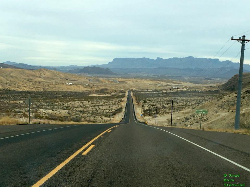
Finally, as you pass Lajitas, the road flattens out, providing a vista of the rugged Chisos Mountains and Big Bend National Park ahead.
Just the other side of Lajitas is Terlingua, officially a ghost town but which recently became a popular lodging spot for Big Bend visitors. It’s also home of the annual Terlingua Chili Cookoff each November. One of these days, I plan to make the trip. There are several Airbnb-type accommodations in the area, both for park visitors and if you’re coming for chili. Just remember, it’s 80 miles to the nearest grocery store in Alpine. So make sure to bring what you need if you decide to stay here.
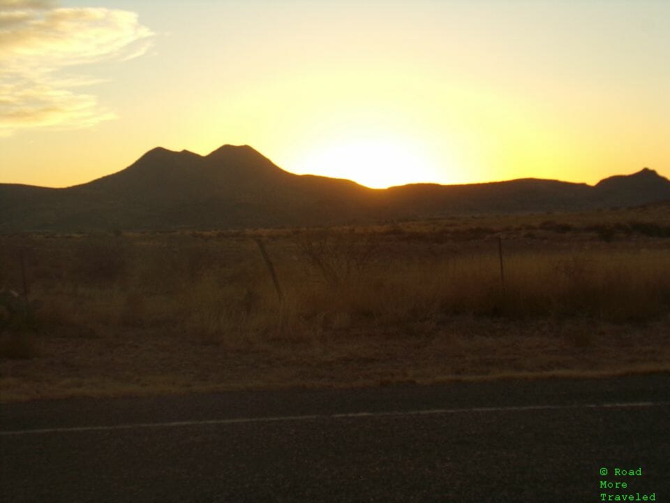
With sunset just an hour away, and the kid getting hungry, we decided to head straight back to Alpine. Approaching town, we enjoyed one of those big West Texas sunsets the area’s famous for.
Final Thoughts
The Big Bend Ranch River Road is WAY out there, but if you’re making a trip out to the area, it’s worth the detour to check it out. It’s actually a nice day trip add-on if you’re spending some time in Big Bend National Park.

