“Flightseeing” – a fancy term for staring out the window and trying to identify landmarks way down below – is one of my favorite things to do when flying, which is also why I always try to get a window seat. I’ve dedicated a few posts to this subject on my old blog, including a fly-by of several notable landmarks between DFW and LAX.
Recently, my wife and I flew from Dallas to Orlando on Southwest to catch a cruise to the Bahamas the next day (the subject of a multi-part trip report series I’m currently working on). Thanks to good weather, good luck with snagging a window seat near the front both coming and going, and a fortuitous routing both ways, I was able to stitch together a photo tour of the entire northern Gulf Coast between the southeast suburbs of Houston and Tampa. I’ll start off with our eastbound flight, and finish up with the westbound.
Incidentally, we choose Southwest for this trip because we were enroute to a cruise. We had to check two bags, and that meant saving $100 in bag fees. We took a connection through Houston on the way to Orlando, but did grab one of those new nonstops on the flight home. It made a HUGE difference compared to the pre-Wright Amendment days.
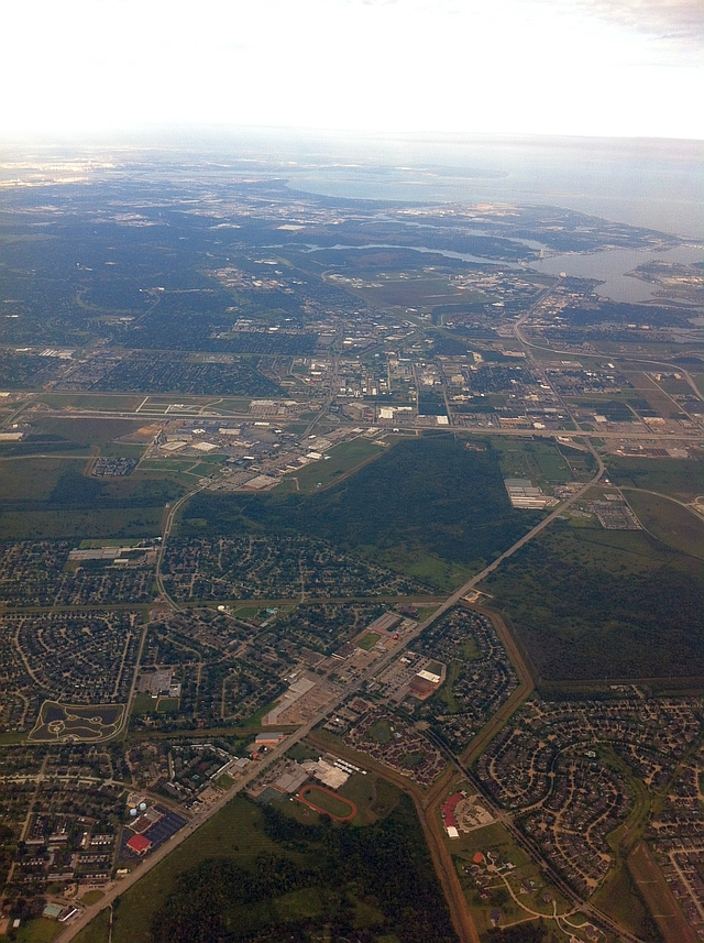
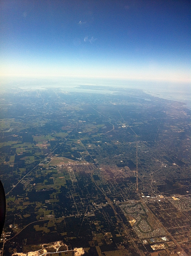
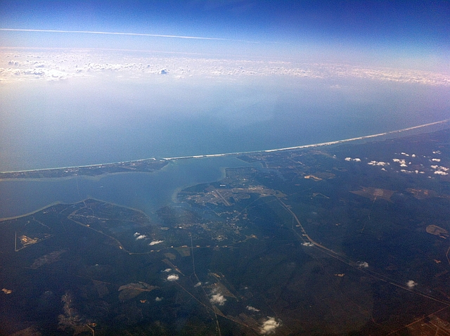
Flying east and southeast from Houston Hobby, we took the farily standard route to Florida. We reached the coast a few minutes after takeoff and then hugged it until around New Orleans. Then, we angled southeast and made landfall near Tampa. Today, we saw our first sighting of the coast over Friendswood, looking east out over LBJ Space Center towards Clear Lake and Galveston Bay.
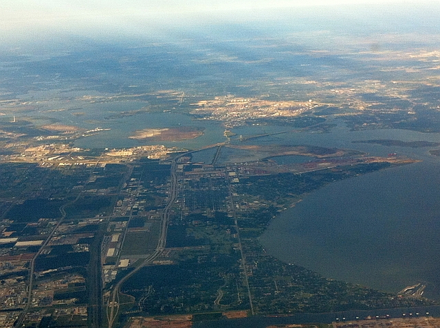
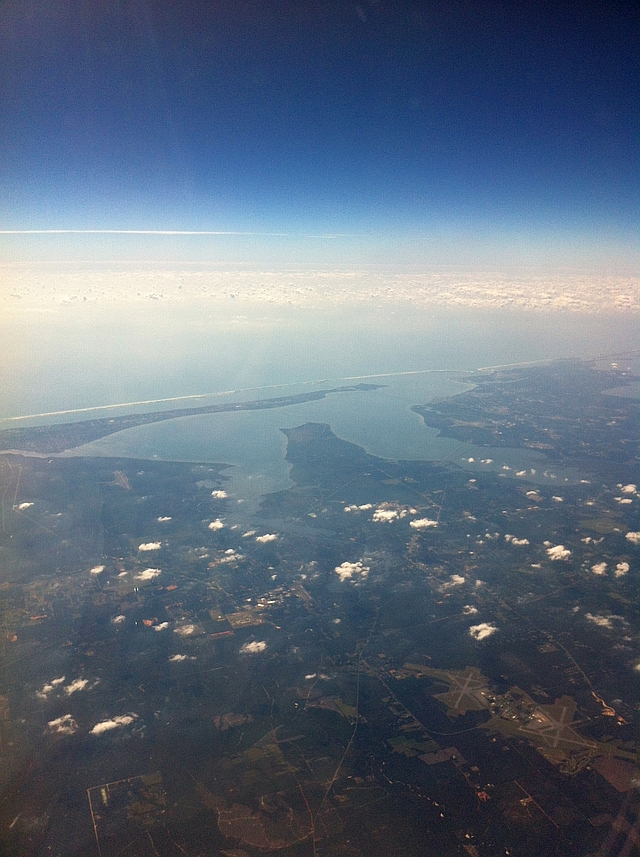
Here we just begin to fly out over Galveston Bay south of La Porte. This view looks north towards the Fred Hartman Bridge and Baytown. Galveston Bay is on the right. The body of water jutting northwest in the center of the photo is the San Jacinto River, and the beginning of the Houston Ship Channel.
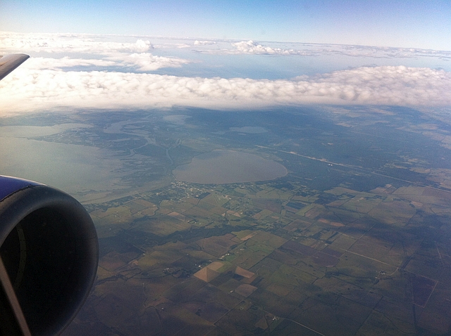
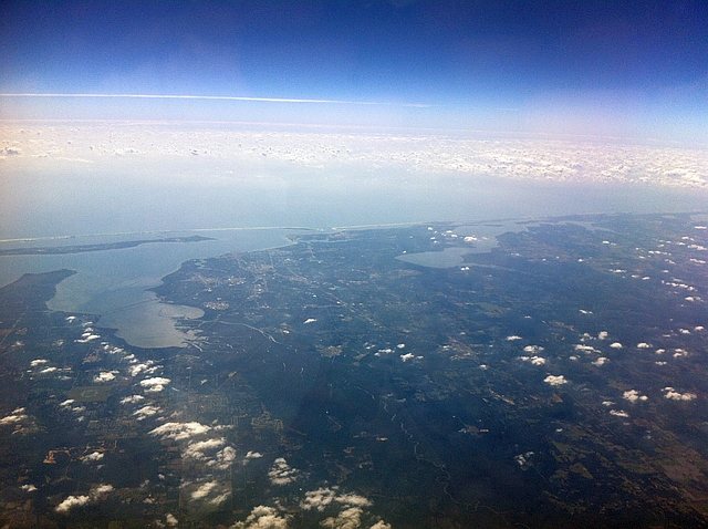
We have now passed Galveston Bay, and are passing over the town of Anahuac. The smaller body of water in the center of the photo is Lake Anahuac. Immediately to the west is the mouth of the Trinity River and the northern end of Trinity Bay.
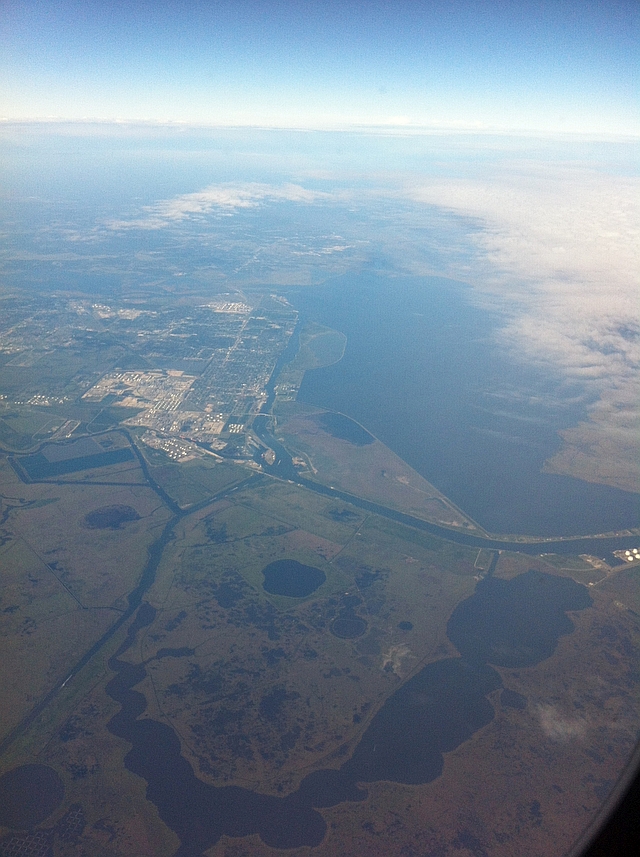
We now prepare to cross the Louisiana state line near Sabine Pass, south of Port Arthur. The city in the center is Port Arthur. The straight waterway is the Intracoastal Waterway, and the larger body of water (partially obscured by clouds) is Sabine Lake. Here you begin to see the marshy landscape typical of coastal Southeast Texas and Louisiana.
Calcasieu Lake, Louisiana, looking to the north. The city at the top of the photo is Lake Charles, Louisiana.
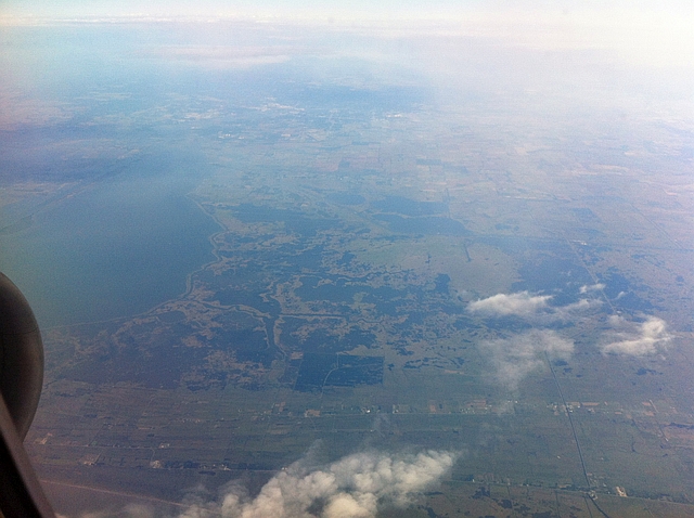
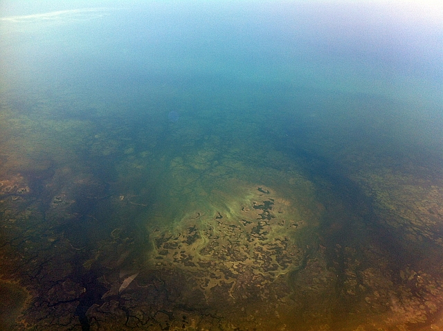
East of Calcasieu Lake is a very marshy area. A scenic drive, known as the Creole Nature Trail, passes through this area before heading north back to Lake Charles.
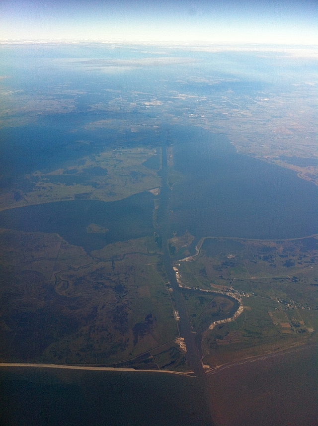
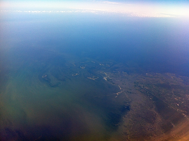
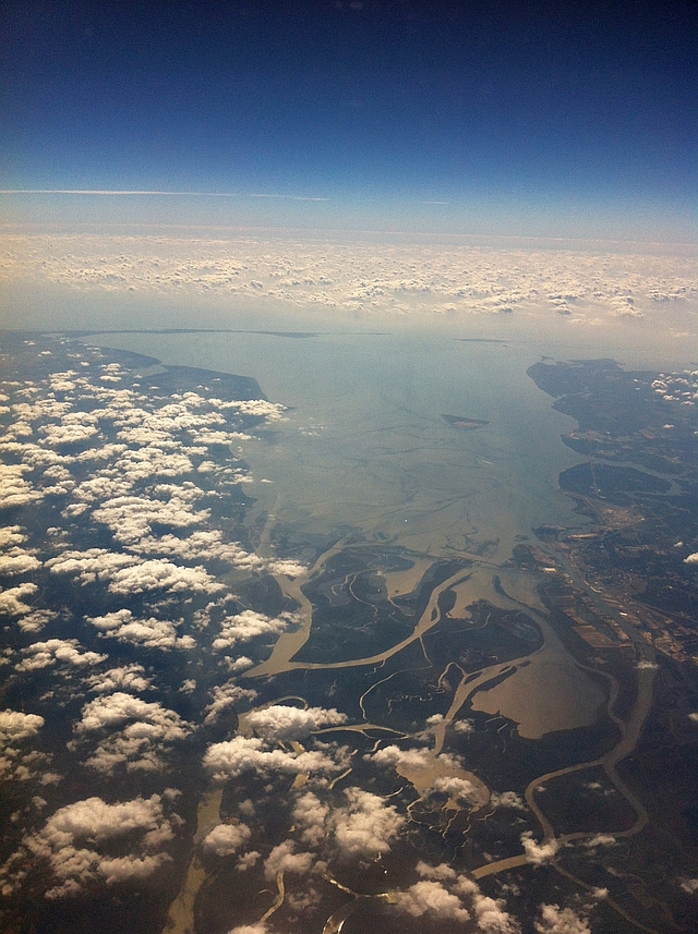
Unfortunately, we flew into a high cloud deck shortly after this photo was taken; that obscured our view for a while. But the clouds cleared just in time for a real treat – a close fly-by of South Pass, better known as the mouth of the Mississippi River. In the second photo, you can see how Big Muddy splits into several smaller streams as it disappears into the Gulf of Mexico.
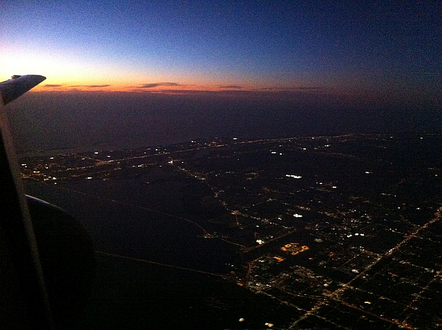
We then flew out over the Gulf for most of the rest of the way, though we had just enough light remaining as we made landfall near Tampa for one last photo. This was taken just east of downtown Tampa. You’ll see two bridges heading out over Old Tampa Bay. The one at the top is the Courtney Campbell Causeway, heading towards Clearwater. The lower one is the Howard Frankland Bridge (IH-275), heading towards St. Petersburg.
On the return trip from MCO to DFW, we took a slightly odd routing, though one that proved to be quite fortuitious for picture taking. Normally, flights from Dallas to Florida head basically due southeast, heading out over the Gulf near New Orleans and reaching land again near Tampa. This time, though, we basically paralleled the coast from north of Tampa until New Orleans, and having been lucky enough to grab a window seat in Row 3, I had a perfect seat for taking pictures.
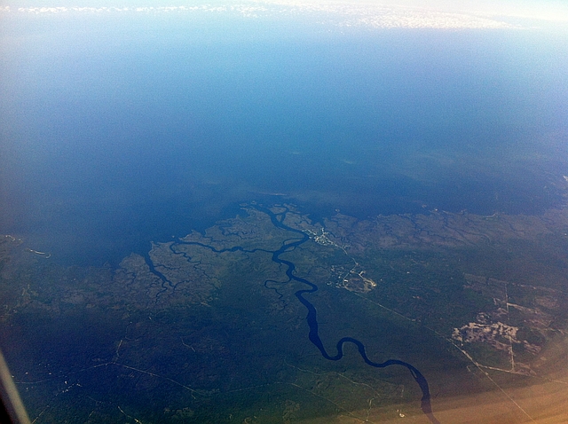
We initially headed due west from Orlando, reaching the Gulf about 25 minutes after pushback. This is looking south down the coast, I believe near the town of Spring Hill. Of note, the beaches in this area are the last you’ll see along the Florida Gulf Coast until nearly Apalachicola; you see the marshy coast more typical of coastal Louisiana and Southeast Texas instead.
I figured we would head out over the ocean at this point, but to my surprise, we immediately angled north-northwest and began paralelling the Florida coast. We soon passed the St. Martins Marsh Aquatic Preserve, a river estuary that is a good spot for aquatic bird watching.
Next up was Cedar Key, a small island close to – well, nothing really, though it is the closest coastal community to Gainesville, 52 miles to the northeast. Cedar Key isn’t a beach town, however. The main recreational activities are canoeing and kayaking in the nearby marsh preserves.
Just a few minutes to the north-northwest was the Suwanee Sound, the mouth of the Suwanee River. The river was the subject of the Stephen Foster song “Old Folks at Home”, which has been the state song of Florida since 1935. If you’re not familiar with the song, you probably are familiar with Foster’s more famous works, “Oh! Susanna” and “Camptown Races”. Ironically, Foster never actually visited the river that he wrote about.
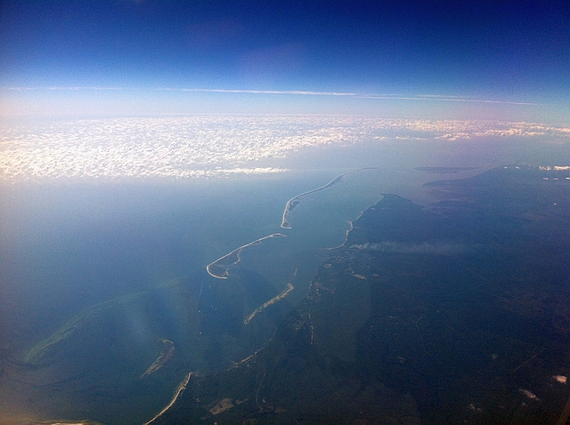
Our plane then turned west as we approached the Big Bend of Florida, passing to the north of Apalachicola Bay. Here, you once again find the white sand beaches that the panhandle of Florida are famous for. The first photo is of a couple of barrier islands to the east of Apalachicola, and the second is an aerial view of Apalachicola itself (not clearly visible due to the distance). Incidentally, this is also the beginning of the “Redneck Riviera”, which runs west to Gulf Shores, Alabama.
Next we passed over Panama City and Panama City Beach. The airfield at the bottom right of the photo is the new-ish Panama City airport, Northwest Florida Beaches Airport (ECP).
Next up are the towns of Valparaiso (directly in the center of the photo, at the top end of the bay), Destin (at the east end of the island coming in from the left), and Fort Walton Beach (due southwest of the airfield, just north of the barrier island coming in from the right). The airfield is Northwest Florida Regional Airport (VPS). Immediately south of the airport is Eglin AFB.
The left (east) arm of this body of water is East Bay. The right arm is Escambia Bay. The portion leading southwest from Escambia Bay is Pensacola Bay. Three of the Panhandle’s best known beach resorts are located here: Navarre, at the very southeast corner of East bay; Gulf Breeze, at the westernmost tip of the peninsula that runs across the southern portion of East and Escambia Bays; and Pensacola Beach, on the barrier island due south of Gulf Breeze.
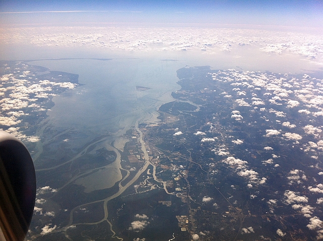
Now passing north of Pensacola, on the western side of Escambia Bay. The body of water in the center-right of the photo is Perdido Bay, which marks the Alabama-Florida border.
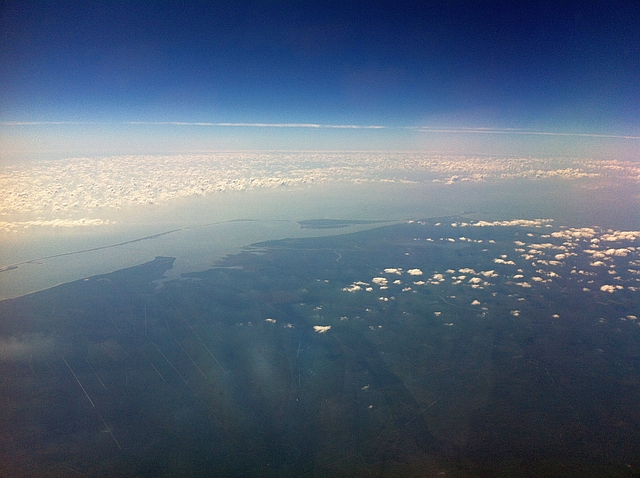
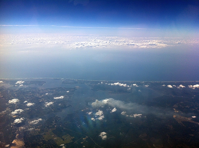
Next was perhaps the two best shots on this aerial tour – we flew just north of the northern end of Mobile Bay, providing a complete view of the bay in the first photo, and the city of Mobile in the second.
Now flying over the Mississippi Gulf Coast. The small bay jutting out to the west is Bay St. Louis. The western end of Bay St. Louis was also the landfall site of Hurricane Camille, one of only three Category 5 hurricanes to ever make landfall in the United States.
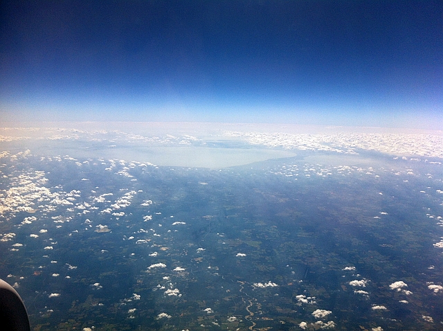
We finally started heading northwest and away from the coast as we crossed into Louisiana. This photo shows both of the large tidal lakes north of New Orleans, the larger Lake Pontchartrain on the left, and the smaller Lake Maurepas on the right.
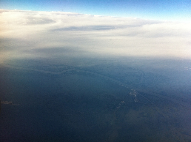
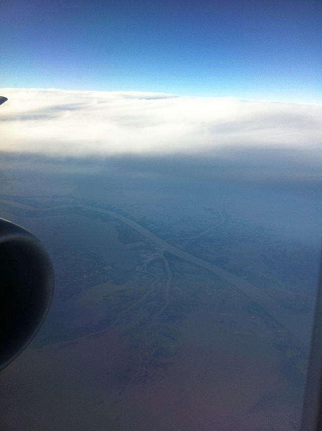
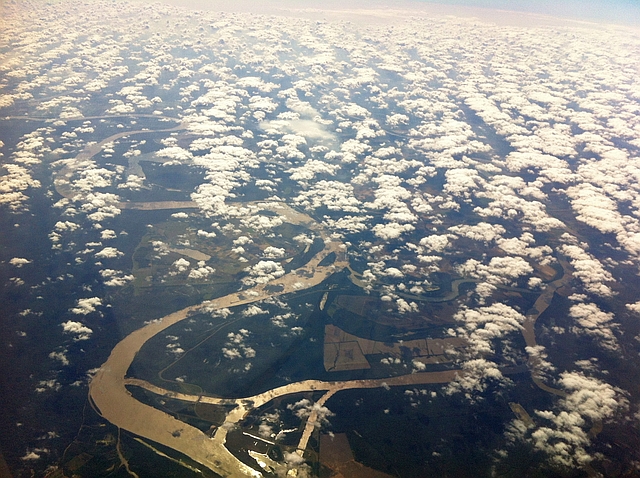
This last photo is technically not a part of the Gulf Coast, but is interesting nonetheless. This is the point at which the Atchafalaya, Mississippi, and Red Rivers come together, looking south. The large river is, of course, the Mississippi. To the right of the Mississippi, you’ll see another north-south waterway partially hidden in the clouds. Heading south, this waterway is the Atchafalaya River. Heading north, it is the Red River.

