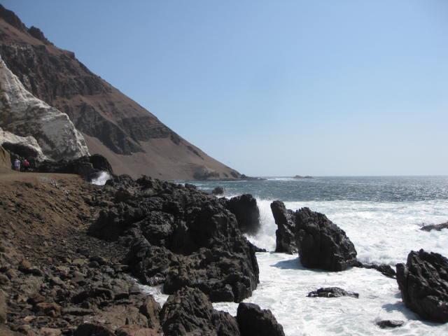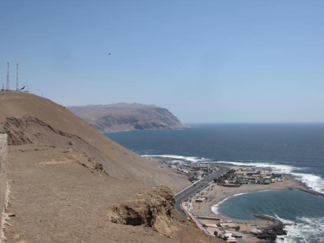
Atacama Desert Coastline south of Arica, Chile
This is part 6 of my series about our cruise to South America in December, 2012. Today’s port of call is Arica, a lonely city in the extreme north of Chile, in the Atacama Desert. This would be my fourth country in South America, following Colombia, Ecuador, and Peru.
For a general overview of the cruise and the trip report index, click here.
Date of Visit: Thursday, December 20, 2012
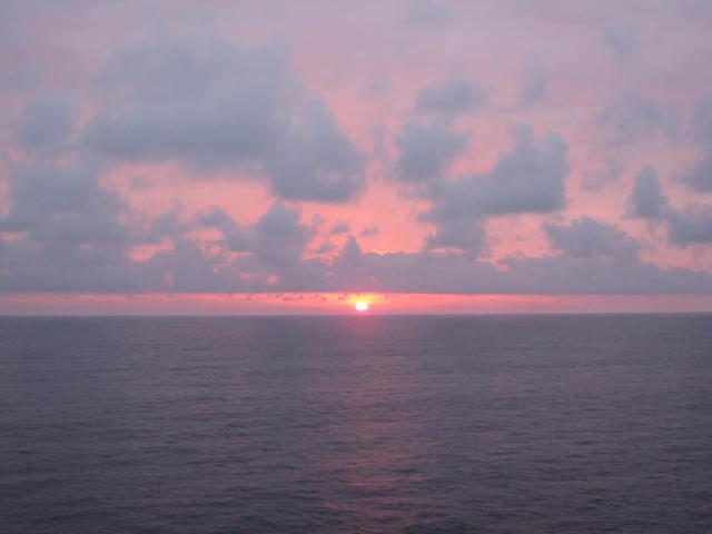
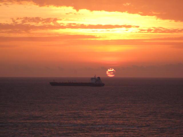
The distance from our last port, Callao, Peru, to Arica is approximately 840 miles by road, probably a little less by sea. That means two days of sailing in a big, heavy cruise ship, which might be able to average 20 knots on a good day. We caught occasional glimpses of land in the distance, along with the occasional dolphin or whale, but the best part of being out in this part of the Pacific are the sunsets. We enjoyed several amazing sunsets on this cruise, and Tuesday’s was no exception.
You might recall some minor issues we encountered during our visit to Lima due to Peru’s immigration folks being difficult. Well, Chile decided to reciprocate the trouble, but this time, Celebrity dropped the ball. You would figure that after our problems in Lima, and South America’s reputation for, shall we say, unpredictable immigration formalities, that the cruise line could double check to see if the Chilean authorities were also planning on being ornery. But no. They waited until 8 P.M. the night before we were scheduled to arrive in Arica to tell us that Chilean immigration also wanted to stamp all passports, and oh by the way, we won’t be allowed off the ship until 3 P.M. and therefore all shore excursions scheduled before that time were canceled. No apology, and not even a discount on a replacement excursion. This would have been bad enough, except that we had planned on taking a full day excursion to Lake Chungara, a brine lake at an elevation of more than 14,000 feet in Lauca National Park in the Atacama Desert. This was, with the possible exception of the Panama Canal crossing, what I was most looking forward to on this trip. Nice job, Celebrity. Especially since you could have bought my happiness with a lousy $50 voucher.
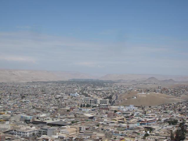
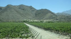
Anyway, not being one to let a little pesky incompetence ruin my day, we booked an alternate excursion that would allow us to enjoy Arica. Arica is a city of about 200,000 people at the extreme northern end of Chile, close to the borders of both Peru and Bolivia. In fact, it serves as Bolivia’s primary port, as the country is landlocked. The area was settled by Europeans in the mid-16th century, and at one time was one of the most important ports of the South American Spanish empire given its proximity to Bolivia’s silver mines. Today, several car manufacturers have factories in Arica, and it is an important agricultural center, being in the middle of an oasis. It is also a popular stop for cruise ships heading south down the South America Pacific coast.
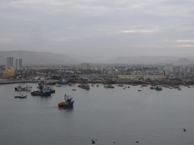
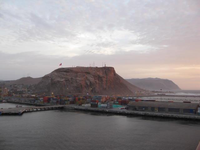
We arrived very early in the morning, but with our original morning shore excursion canceled, I decided to sleep in. It was a somewhat overcast morning, and the view isn’t exactly great looking at the city’s port, but the foothills of the Andes and the Atacama Desert in the background does make for a nice backdrop.
They started letting people off the ship a little after noon, and our replacement tour left on schedule at 3:00. Our first stop was the Morro de Arica, a hill overlooking the town that was the site of a major military battle during the War of the Pacific in 1880. This part of Chile was originally Peruvian territory, but on June 7th of that year, the Chilean army defeated the Peruvians on the hill, and in 1883, Arica was formally ceded to Chile. Today, the hill is a historical site and military museum.
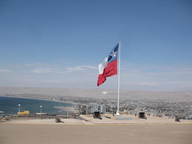
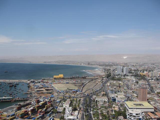
Up top is a fine view of the city and the surrounding Azapa Valley. Notice the strong resemblance that the Texas flag bears to the Chilean flag. Can you tell the difference? (Answer below.)
(Answer: the blue stripe on the Texas flag runs all the way down the front, whereas it stops halfway down the Chilean flag.)
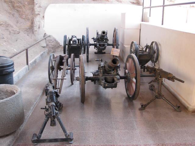
The attached military museum contains several exhibits about the War of the Pacific, along with several antique guns and cannons.
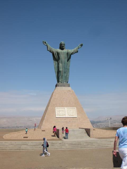
There is also a smaller replica of the Cristo Redentor statue in Rio. This is actually a fairly common thing to see across Central and South America.
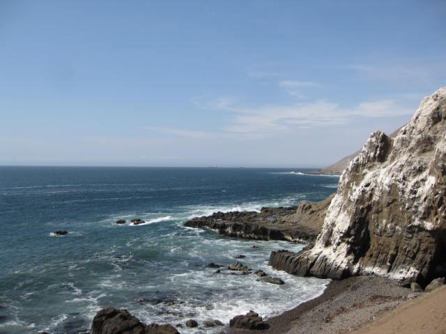
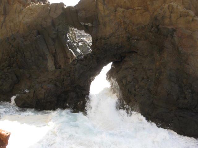
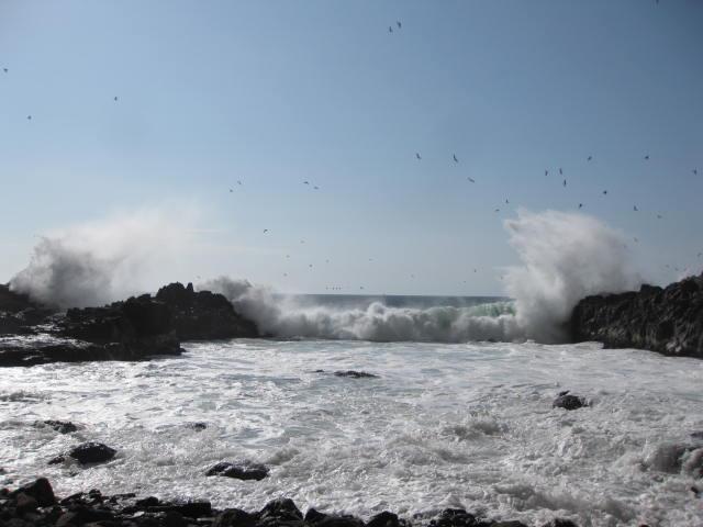
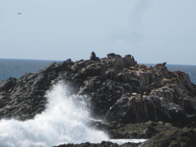
Our next and final stop was Corazones Beach, a few miles south of Arica. We weren’t going to the beach, but rather, a small trail that led about a mile down the coastline through a series of caves. The coast here is somewhat similar to what you would find in Hawai’i, with black volcanic rock, crashing waves, and odd rock formations. Also like Hawai’i or Southern California, the area around Arica is a haven for surfers, thanks to the heavy wave action in this part of the Pacific. CAUTION: this trail is not advised for those who are afraid of heights. It is very narrow in spots, and it’s a long way down to the ocean below.
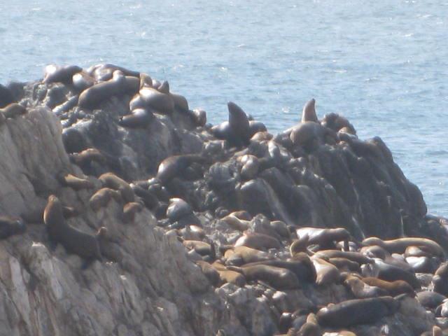
Close to the end of the trail, a large colony of sea lions has taken up residence. I’m a big wildlife guy, so this was pretty darn cool to see. Just beware, the noise is pretty awful…
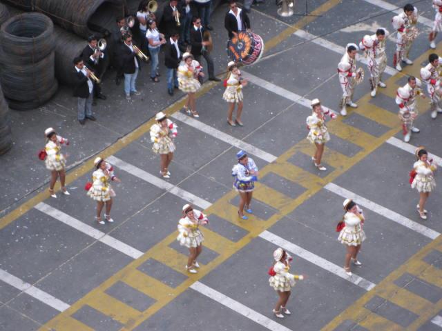
After our walk, we returned to the bus, and then the ship. We made it back in time to see a local band/dance troupe perform a routine on the dock.
We were still in port at sunset, providing a great view of the Morro de Arica, and the sun setting behind a ship (probably my favorite sunset of the entire trip).
I wish we had been able to take that trip to Lake Chungara, but we still had a good time in Arica.
Miscellaneous Things to Know
– Currency – Chilean peso. Current exchange rate is approximately 556 pesos to $1. Outside of Santiago, it’s unusual to find stores that will accept dollars, so exchange some at the airport or on the ship, or stop by an ATM (cajero in Spanish).
– Climate – this portion of the Atacama is very, very dry, with only about 2 inches of rainfall per year. In fact, the driest place on earth is not far from Arica, where several years can go by without a single drop of rain. However, thanks to the cold ocean currents offshore, it isn’t that hot here. Average highs range from the mid-60s in winter to the upper-70s in summer.
– Transportation – city buses ply the streets frequently, but if you don’t want to walk, the best way to get around Arica is to take a taxi. Taxi rides cost just 50 cents to a dollar to get around town. You can get to Tacna, Peru for around $10. Make sure to confirm/negotiate the fare BEFORE getting in. You can rent a car at the Arica airport. Driving conditions didn’t seem all that scary in the area, though you will have to negotiate winding mountain roads. Driving at night is not advised.
– Food – I will do a more in-depth discussion of Chilean cuisine in the 8th and final installment of this trip report series covering Valparaiso, but naturally, being on the coast, the local specialty is seafood, especially ceviche. Tap water IS safe to drink in most parts of Chile, but carry bottled water if you have a delicate constitution, or if traveling in undeveloped areas.
– Other – if you are leaving Chile by air, you will need to pay a departure tax of approx. $26 per person. This is usually added to the cost of your ticket, but double check, or you might find yourself scrambling to find money at the airport. At least the old “reciprocity fee” is gone, so you don’t have to waste $160 on that. WARNING: the Chilean authorities are EXTREMELY strict when it comes to the importation of agricultural products, with significant fines for bringing food into the country. On our cruise, all bags were searched every time we came off the ship for food products, especially fruit. It goes without saying, do not attempt to bring any food products into Chile.

