In my introductory post, I mentioned that we’d be taking the long way from Dallas to Gulf Shores. The first leg of our journey took us due southeast to the coast at the Texas-Louisiana border. We’d explore a byway I’d long wanted to see, Louisiana’s Creole Nature Trail. In addition to some unique marsh landscapes, the highway makes a quick jaunt along Louisiana’s beaches. That gave us a chance, though a brief one, to show Ashok some surf and sand for the first time.
Date of Visit: April 22 and 23, 2017
Creole Nature Trail Route Overview
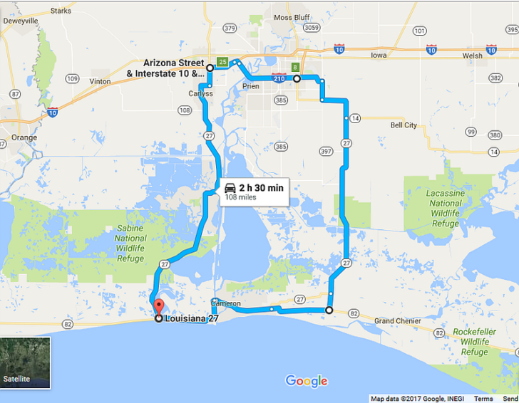
The official route of the Creole Nature Trail covers a circular path southeast and southwest of Lake Charles, Louisiana. The road carries the designation of “All American Road“, one of 43 such scenic byways in the United States. Though “scenic” and Southwest Louisiana might not go together at first glance, the landscape along the highway is truly unique. The largely untouched coastal prairie and marshland goes by the nickname “Louisiana’s Outback”.
The entire circle measures 108 miles, and includes a most vintage American road trip experience. That’s the ferry across the Calcasieu River in Cameron.
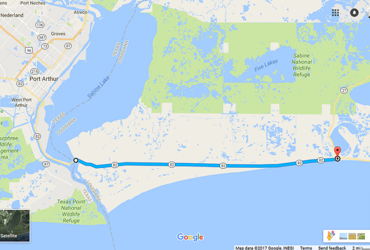
The Creole Nature Trail also includes two spur routes, one east and one west. While the west spur heads 27 miles along the Gulf Coast from Holly Beach to the Texas border…
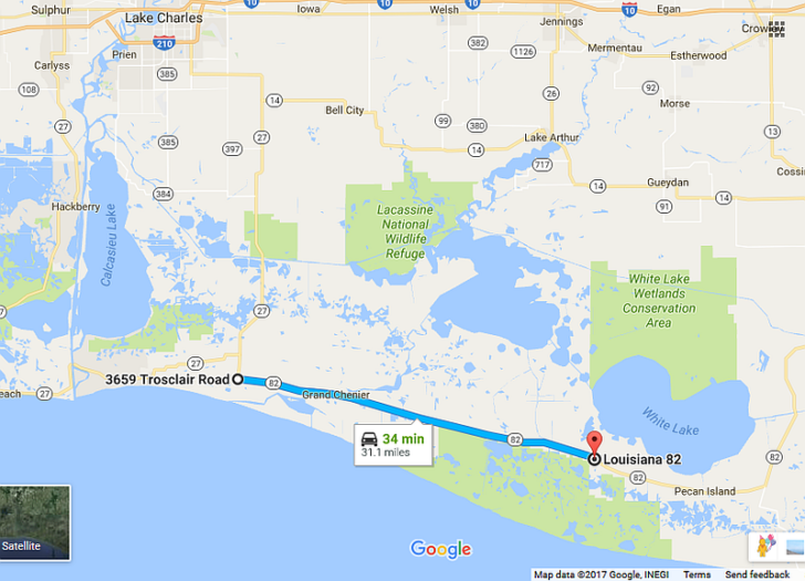
…the east spur takes you 31 miles from Creole to the Rockefeller National Wildlife Refuge. From there, you can continue east on a series of back roads. These will eventually take you back to I-10 in Lafayette. Or, you can take the long way to New Orleans via Highway 90.
Though I really wanted to take the ferry in Cameron, time didn’t allow on this trip. So, after crossing the Sabine River onto the west spur, we headed north to Lake Charles for the night. Then, the next day, we headed south to Creole, then down the east spur to continue to New Orleans.
Creole Nature Trail – Things to See and Do
As the name implies, the Creole Nature Trail is about nature first and foremost. The first 37 miles from the Sabine River to Creole feature Louisiana’s only accessible beaches. The remainder winds through prairies and marshlands making up prime coastal bird and alligator habitat. Several walking trails along the road allow visitors to experience the marshes close-up. Meanwhile, for all you sportsmen, there are plenty of public areas open to hunting, fishing and crabbing.
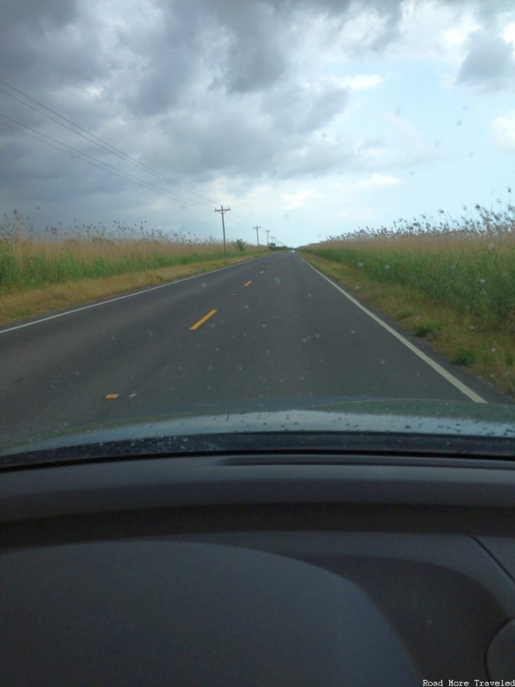
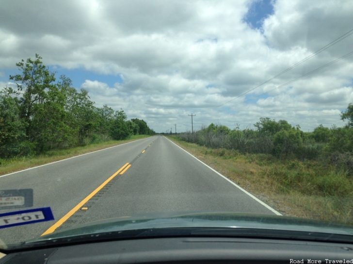
As mentioned, our journey began on the western spur at Sabine Lake, on the Texas-Louisiana border. Unfortunately, the weather began to turn, so I was afraid the beach wouldn’t happen after all. No fun, seeing as Ashok was REALLY starting to get antsy approaching 7 hours in the car. Anyway, the road here travels a few miles inland through a tallgrass coastal prairie.
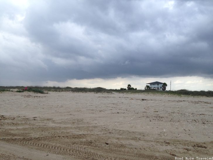
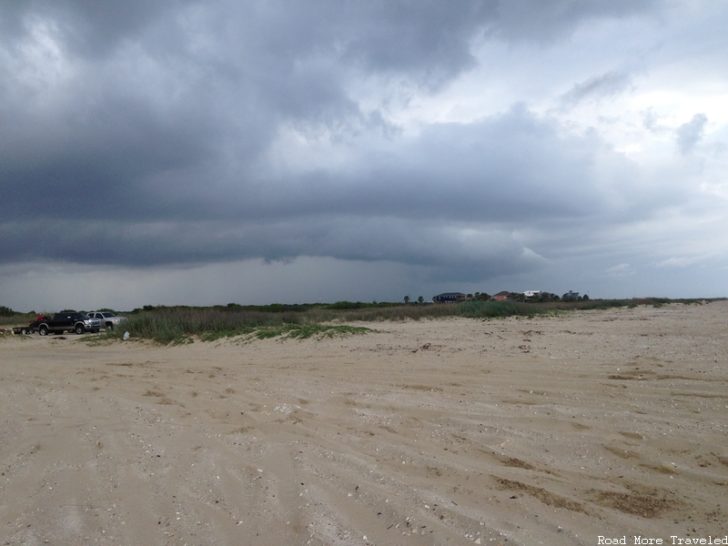
A few miles later, the road reaches the Gulf Coast, with several beach turn-offs around Johnson’s Bayou. By now, the weather cleared up a little. Thus, we decided to stop at Mae’s Beach to let Ashok expend some energy. He loves looking at water, so I figured he’d really enjoy the beach. I’m happy to report I was right. He couldn’t take his eyes off the waves at first.
And the smile gives away his joy.
As for the beach itself, it’s typical of what you find along the Texas/Louisiana Gulf Coast. That is to say, keep your expectations in check. The Gulf water is brown, and the sand is dirty, largely due to naturally occurring tar seeps. That’s the main reason I rarely go to Texas coastal beaches, even though they’re a relative short drive away. But hey, for the baby, a beach is a beach, right? Anyway, we had just a brief few minutes before the storms started rolling in again. The storm clouds did make for a pretty scene, though.
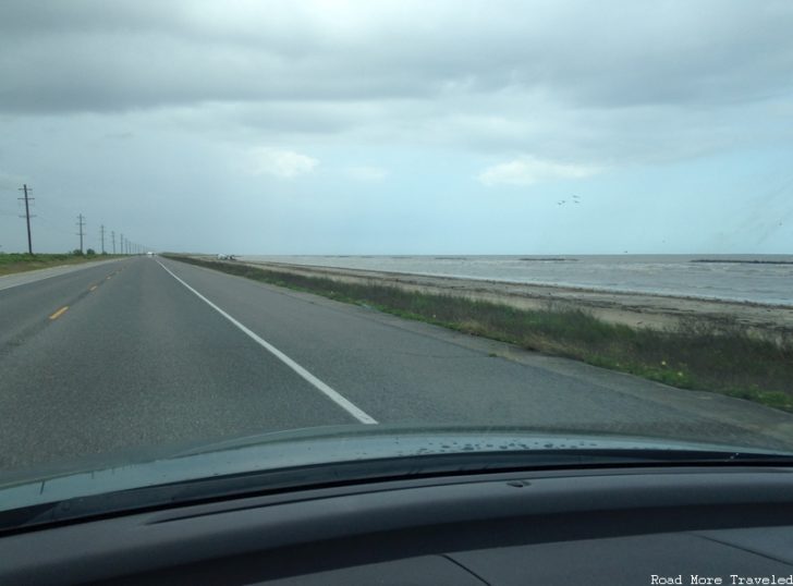
Continuing east, Highway 82 hugs the coast for several miles to Holly Beach. Much of the beach and road fell victim to Hurricane Ike in 2008, but have since been rebuilt.
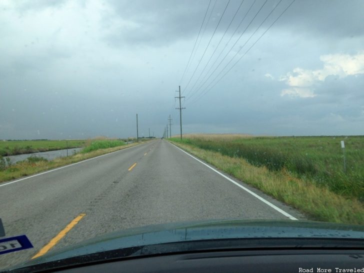
At Holly Beach, you reach the main loop of the Creole Nature Trail. You have the choice of continuing east along the coast, or turning north towards Lake Charles. We turned north, skirting Calcasieu Lake and Sabine National Wildlife Refuge. The road once again passes through tallgrass coastal prairie.
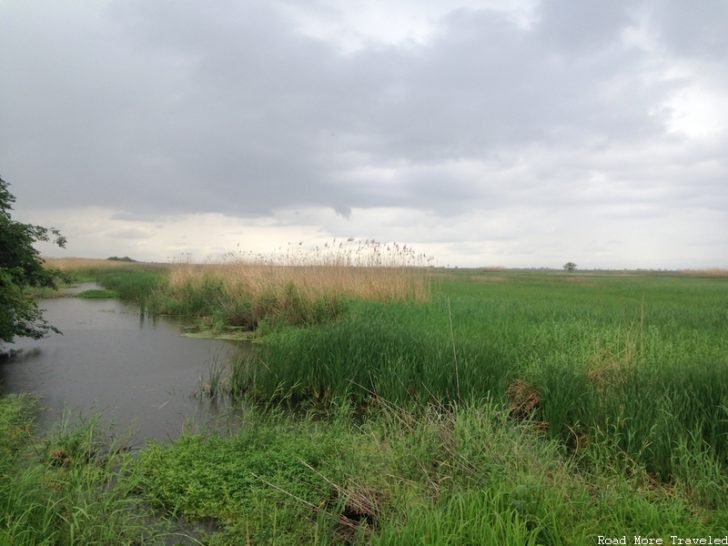
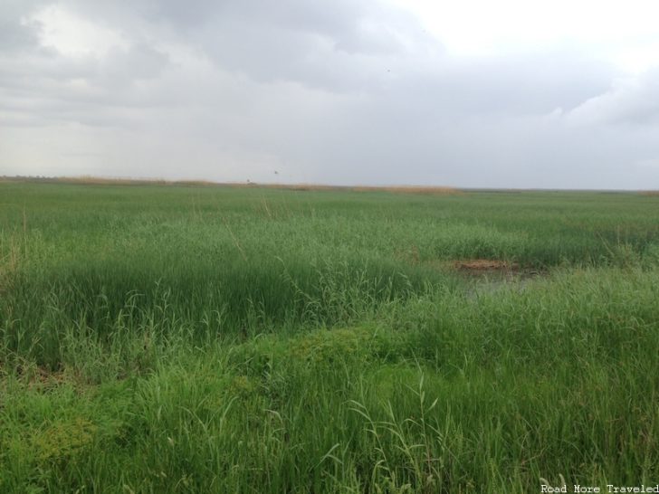
Several public fishing/crabbing areas line the road here. A few miles up the road, we made a brief stop at the Wetland Walkway. As the name implies, this is a 1.5-mile boardwalk through the coastal marsh, along with an observation tower. Unfortunately, it started raining again, so we couldn’t stay long. As you can see, the walkway does provide excellent views of the surrounding marsh and prairie. This is also excellent bird and alligator habitat, so keep your eyes peeled for wildlife.
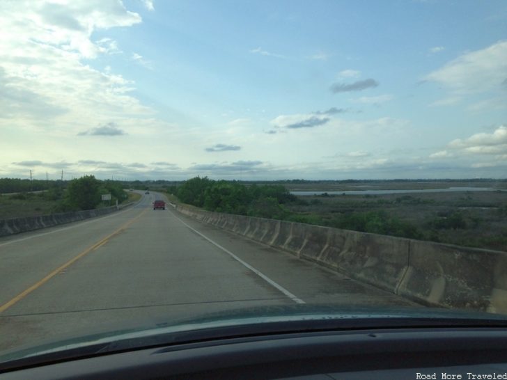
Just north of here, the Blue Goose Walking Trail takes you through a wintering geese habitat, and provides a panorama of Calcasieu Lake. Because of the rain, though, we kept on going. The Creole Nature Trail then crosses the Intracoastal Waterway about halfway to Lake Charles. Because the waterway provides transit for large ships and barges, it is crossed by especially high bridges. The upshot is a great view of marsh from the top.
Past the Intracoastal, the surrounding area becomes largely industrial the rest of the way to I-10. Near the interstate junction in Sulphur, though, make sure to stop at the Adventure Point. Basically, it’s a visitor center for the entire Creole Nature Trail, providing roadway information and history of the area.
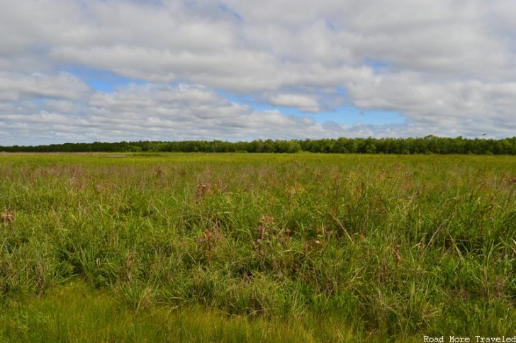
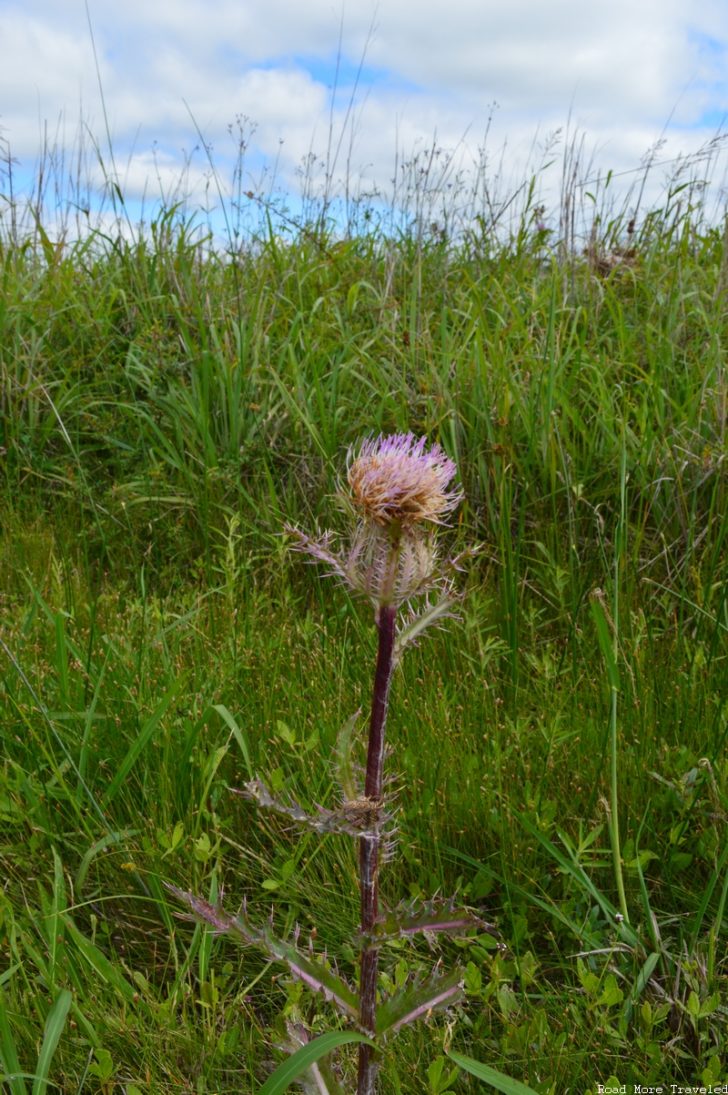
After an overnight in Lake Charles, we continued our tour of the Creole Nature Trail the next day. Heading south along Highway 14, we soon reached the Cameron Prairie National Wildlife Refuge Visitor Center. The Visitor Center is mainly a check-in point for hunters looking for specklebelly goose, but you can walk along the trails behind the building. The coastal prairie here is a haven for birds, and native flowers like thistles.
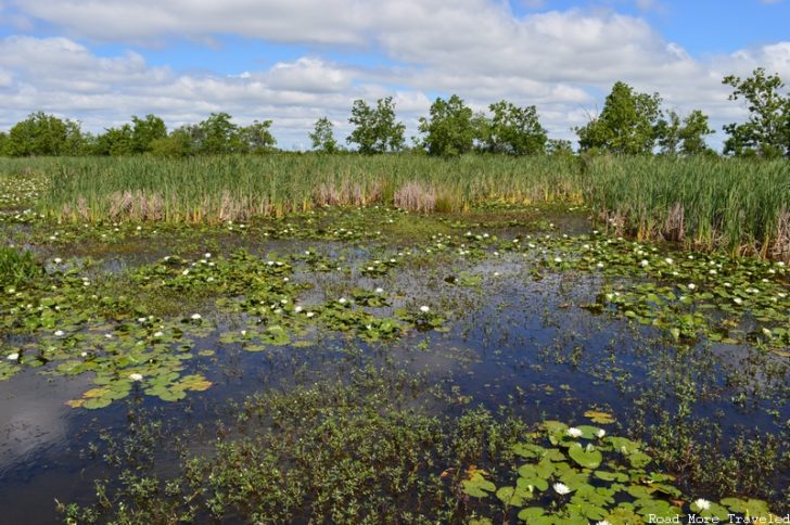
About 2 miles further south is the Pintail Wildlife Drive and Boardwalk. Here, you’ll find a 3-mile loop drive through the marsh, along with a half mile boardwalk. With the weather much better, we took some time to explore the boardwalk. It’s an excellent stop with a baby – the wide boardwalk makes it easy to maneuver a stroller. Just beware of the bugs.
We didn’t see much wildlife here, but we did see plenty of flora on display, including this pond full of lily pads.
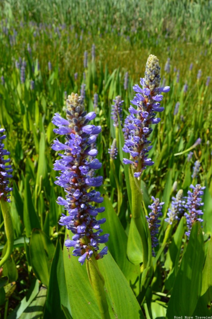
We also saw fields full of the purple pickerelweed, which fascinated Mini-Me.
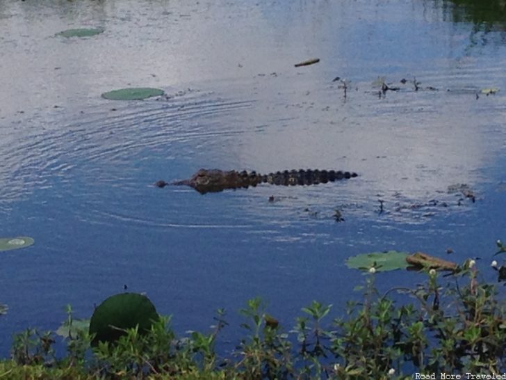
After finishing the boardwalk trail, we continued down the loop road, and had our awesome wildlife sighting of the day. You guessed it – an honest to goodness alligator! This gator crawled across the road right in front of us, before settling in for a bath on the other side.
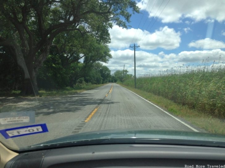
From the wildlife drive, it’s not far to the “official” end of the Creole Nature Trail on the coast in Creole. However, from here, you can turn left on the east spur. The route first passes through “Oak Grove”, so named for the massive coastal live oaks lining the road. It’s almost like driving down a path in the “Legend of Zelda” video game.
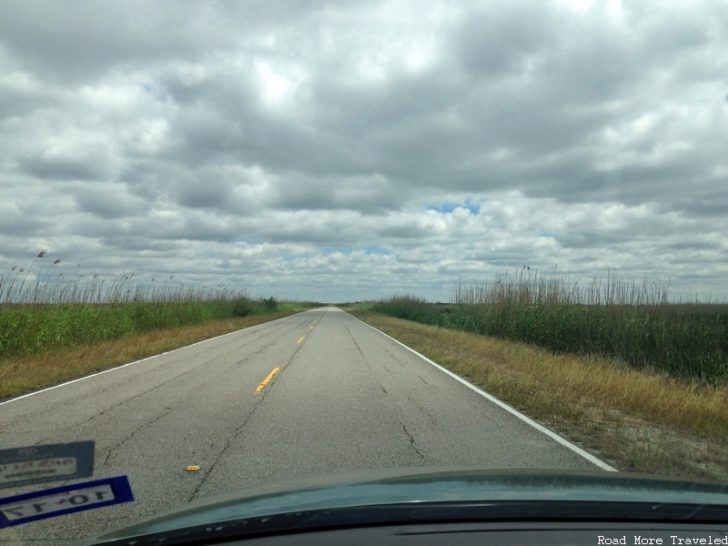
Beyond Oak Grove, the road settles in to seemingly endless coastal prairie along the Rockefeller National Wildlife Refuge. This is another great area for fishing if that’s your thing.
The Creole Nature Trail officially ends at this spot in the refuge, though the road continues as State Highway 82. This highway eventually takes you to Abbeville, where you can either reach I-10 in Lafayette, or continue to Highway 90 and New Orleans.
Creole Nature Trail – Other Things to Know
As you can see, the road crosses some incredibly isolated areas. Outside of the area immediately surrounding Lake Charles and Sulphur, services are few and far between. I recall maybe one gas station in Johnson’s Bayou, and one or two on the east spur around Pelican Island. I’d strongly advise filling up in Lake Charles.
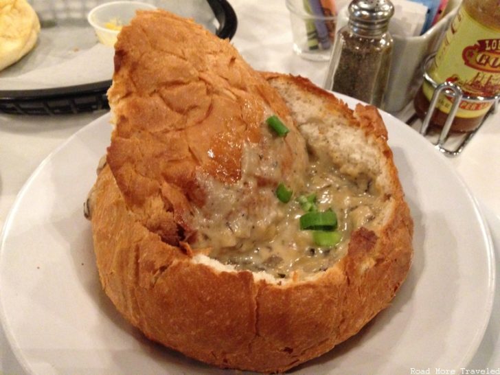
As for eats, again, don’t expect much. The boardwalk areas and the beaches make for excellent picnic spots, though. So pack a cooler and a towel, and enjoy an open air lunch when the weather is nice. Or save up your appetite for dinner, and enjoy some great Cajun cuisine in Lake Charles. Like, say, the brie bisque at the famous Blue Dog Cafe.
You can even see artist George Rodrigue’s legendary “Blue Dog” artwork while you chow down.
Speaking of weather, unless you like the heat, avoid summer, which starts early and lingers for a while. It starts getting warm by late April, but it was still tolerable during our visit. The heat really picks up by mid-May, and doesn’t die down until late September. Fall and spring are the best times to go.
This post is part of my trip report series about our first vacation as a family to Gulf Shores, Alabama. Click here for the trip report index and introductory post.

