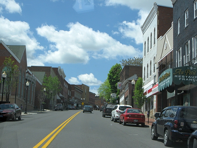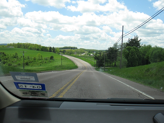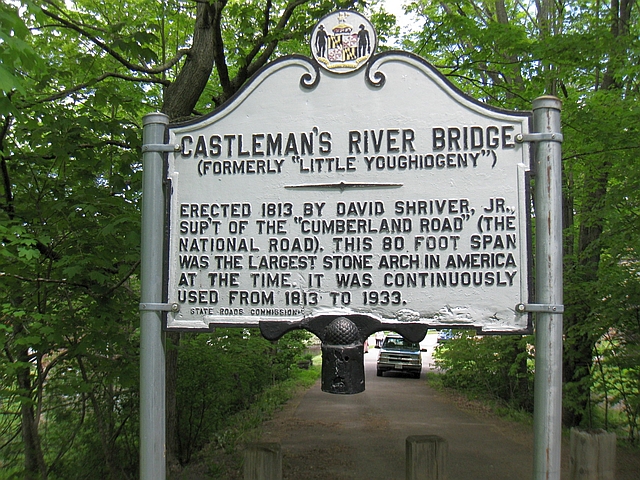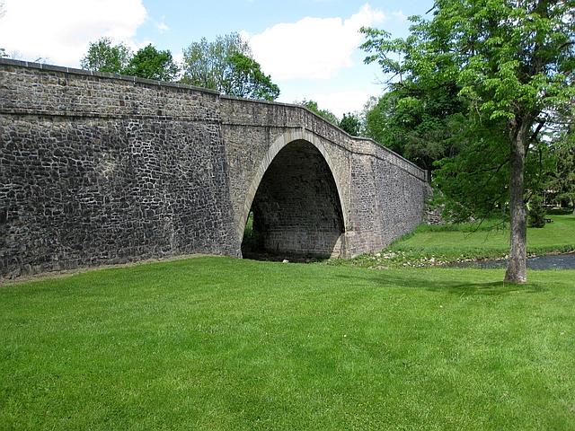
Driving the Historic National Road (US 40) in Centerville, Pennsylvania
This is Part 13 of my Bermuda trip report series. Part 12 covered our visit to the Frontier Tavern restaurant at the Omni Bedford Springs Resort, though as far as the drive home goes, I actually left off in Part 11 in Cumberland, Maryland. That’s where this installment picks up, as I cover driving the Historic National Road for the next day and a half. The intention was to drive the road from start to finish; we didn’t quite succeed, though we came pretty close.
To review our itinerary and other posts in my trip report series so far, read my Bermuda trip report introduction and index.
The Historic National Road – History & Background
The National Road, also known as the Cumberland Road, Cumberland Pike, and National Pike, was authorized by Congress and President Thomas Jefferson in 1806 as the nation’s first federally funded interstate highway, with construction beginning in 1811. The original authorization called for the road to extend from Cumberland, Maryland to the Mississippi River. Ultimately, officials only built the highway as far as Vandalia, Illinois, due to lack of funds; construction finished on the final section in 1852. Nevertheless, the highway was profoundly important to the fledgling nation, drastically cutting travel times to the western part of the nation and leading to the creation of fledgling interstate mail and freight delivery industries, not to mention, facilitating settlement of the western frontier.
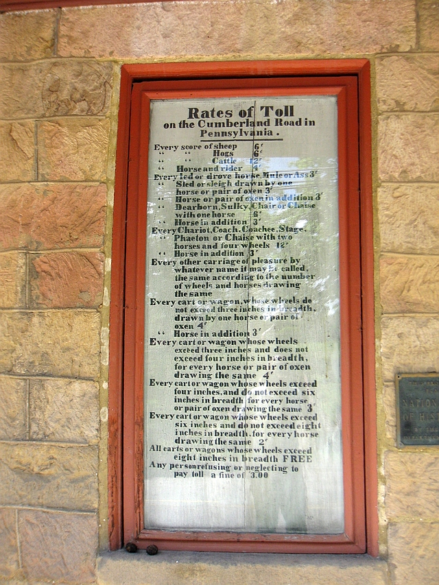
In 1835, the states began assuming control of maintenance of the road, and imposed tolls to help defray the cost. Much like today’s turnpikes, tolls varied depending on the mode of transport. Officials charged the lowest tolls for travelers on foot, and the highest for wagon trains. The federal government ceded all control of the road by 1879, though ironically, it retook control some 45 years later. In 1926, much of the road became a federal highway once more, when US 40 subsumed much of the old National Road.
NOTE: some travel guides suggest that the National Road extends from Baltimore to St. Louis; however, this isn’t historically accurate. The section from Cumberland east to Baltimore already existed before the National Road was authorized. The section from Vandalia to St. Louis wasn’t part of the final National Road construction authorization issued in 1838, and wasn’t completed until the opening of the Eads Bridge connecting Illinois and Missouri at St. Louis in 1874.
Driving the Historic National Road Today
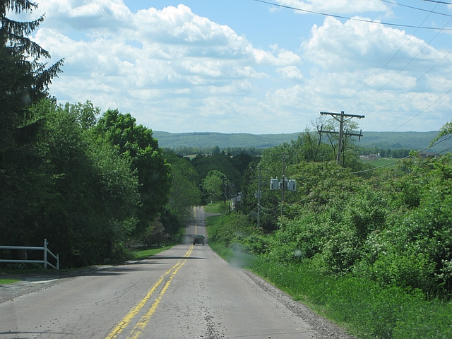
As mentioned above, the National Road roughly follows the route of US Highway 40 today. There are a few older sections that veer off the marked highway, though. Beware that although US 40 is a perfectly good road, it is NOT the same as driving on an interstate highway. Using the interstates to get from Cumberland to Vandalia, it is 632 miles; the drive takes about 10 1/2 hours. The National Road actually clocks in 29 miles shorter, but you are looking at a minimum of 13 hours to drive it. That’s if you just drive straight through without stopping much. There are large sections of divided highway in Indiana and Ohio; however, you pass through numerous small towns, which makes the going slower. In other words, if simply want to get from Point A to Point B, this isn’t the road for you.
The great thing about driving the National Road, though, is that since it parallels interstates almost the entire way (IH-68 from Cumberland to Keysers Ridge, MD and IH-70 from Washington, PA to Vandalia), you can mix and match depending on how much time you have to explore. Running behind schedule, or take an extra long time at a tourist attraction? You can head over to the interstate for awhile to catch back up. We did this to some degree, since we only had about a day and a half to get through.
And with no further adieu, here is our travelogue of our trip through Americana.
Saturday, May 24, 2014
Departure: Cumberland, Maryland; Scheduled: 2:06p; Actual: 1:52p
Arrival: Columbus, Ohio; Scheduled: 8:33p; Actual: 8:40p
Distance: 277.7 miles; 2,771.4 miles cumulative
Map of Route:
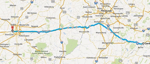
Wondering what the “almost start” part of this trip report title is about? Well, we intended to kick off our drive at the road’s real beginning, at the intersection of Centre and Baltimore Streets in downtown Cumberland. Unfortunately, as we prepared to turn left down Baltimore Street to get there, we saw a stopped freight train blocking the way. GRRRRR. Since we had no idea how long it would take for the train to clear, we went down the new route instead, following Front Street until it met back up with Centre Street on the west end of town. So close, yet so far.
The Maryland section of the National Road totals just 34 miles; it winds through a series of smaller towns and mountain valleys before it climbs to its high point in the Allegheny Mountains near Keysers Ridge. You also pass the first of the road’s “toll houses” in Frostburg, about 10 miles from the road’s beginning. However, I didn’t see it in time to stop.
Town of Frostburg, Maryland
Cutting through a mountain valley east of Frostburg
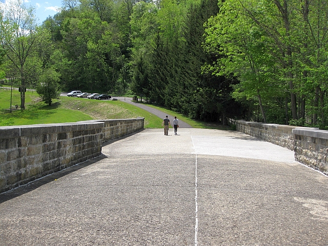
Just east of Grantsville, we reached our first tourists stop on the road, the Casselman River Bridge, a stone arch bridge that dates back to the road’s original construction in 1813. It was used continuously until US 40 was re-routed onto a new, parallel bridge in 1933. It is now closed to vehicular traffic, but you can walk across. The bridge is now part of a state park. There are a handful of picnic tables if you want to enjoy a handmade lunch and enjoy some fresh air.
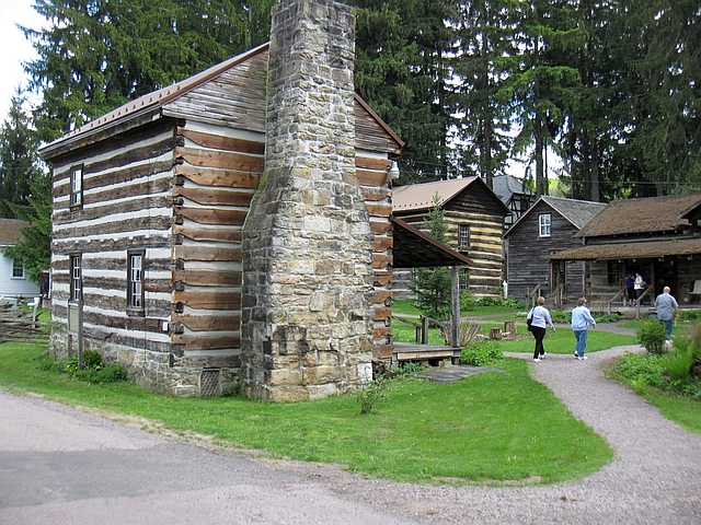
Also at the site of the bridge is the Penn Alps Artisan’s Village and Restaurant, a collection of historic log cabin buildings that dates back to the early days of the National Road, when it was a waystation for weary road travelers strategically located between the bridge and a grist mill next door. The buildings were preserved, and today a restaurant and craft shop remain at the site.
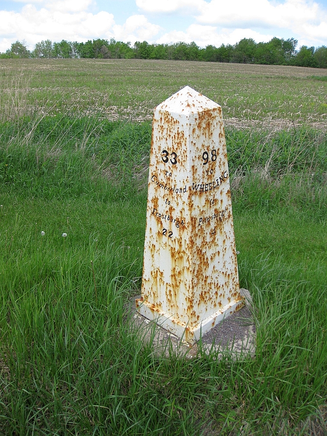
Between Keyser’s Ridge and the Pennsylvania state line, there are several replicas of National Road mile markers along the side of the road. Found mostly on the Maryland and Pennsylvania sections of the National Road, the markers provide mileage to the nearest major towns, as well as the next smaller town. This marker shows 33 miles to Cumberland and 98 miles to Wheeling, West Virginia.
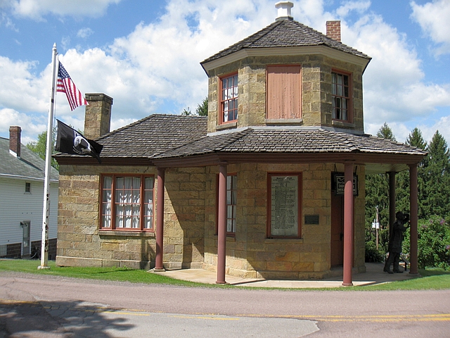
Just after crossing into Pennsylvania, we detoured off of US 40 on to the older road, and into the town of Addison, Pennsylvania. Addison is home to a spectacular surviving example of a National Road toll house, with a replica toll schedule posted outside. Travelers were supposed to stop in and pay the toll before proceeding. Notice the fine for failure to pay the toll – the princely sum of $3. That represented a good amount of money in the 1830s.
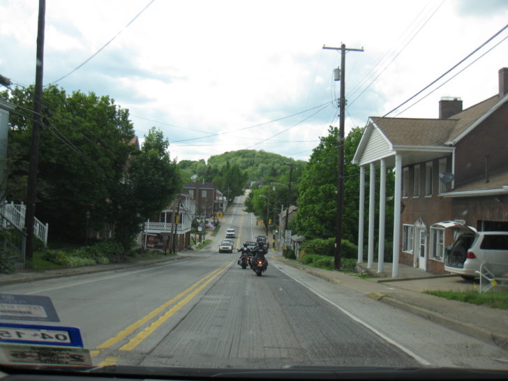
We decided that would be it for stops for the day. One, it was starting to get a little late, but two, we needed to make an unscheduled stop at a grocery store somewhere to pick up some picnic food and ice for the cooler. So, we’d just admire the view the rest of the way to Columbus. The road is fairly slow going up to St. Clairsville, Ohio, mainly due to numerous small towns to pass through and speed limits mostly restricted to 45 mph, but the road does open up a bit past St. Clairsville, as the road flattens out and you enter the vast farmlands of the Midwest.
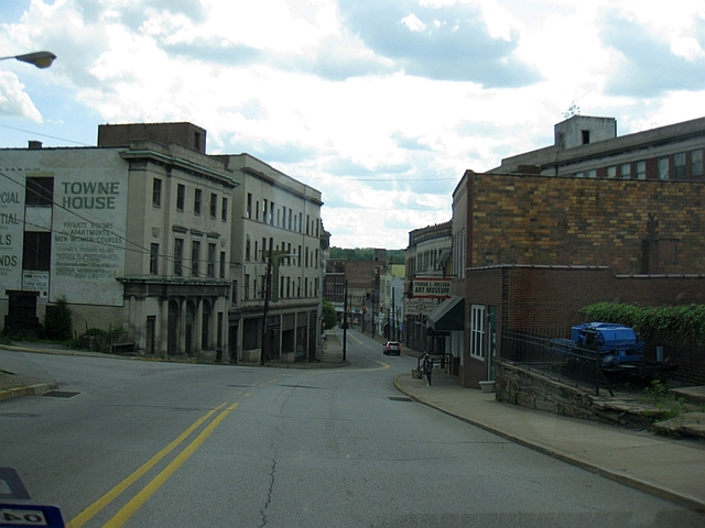
Sadly, several of the smaller towns along the way have seen better days. Abandoned storefronts are much too typical of the modern Rust Belt. We actually did make it to the eastern outskirts of Columbus right on schedule and traffic was light on this Saturday, so we decided to follow the old route through downtown to our hotel (the Hampton Inn) on the west side of town. I do find it interesting to follow the old routes through big cities, tracing paths that were once the Main Streets of America before the freeways. Columbus is typical of large cities in this regard as you move from neighborhood to neighborhood – suburban strip malls, to well maintained/restored older neighborhoods, to gentrified newer areas, to inner city decay. It was too dark by the time we arrived to get any photos, though.
Old US 40/National Road, Addison, PA
Brownsville, PA, a town which has seen better days
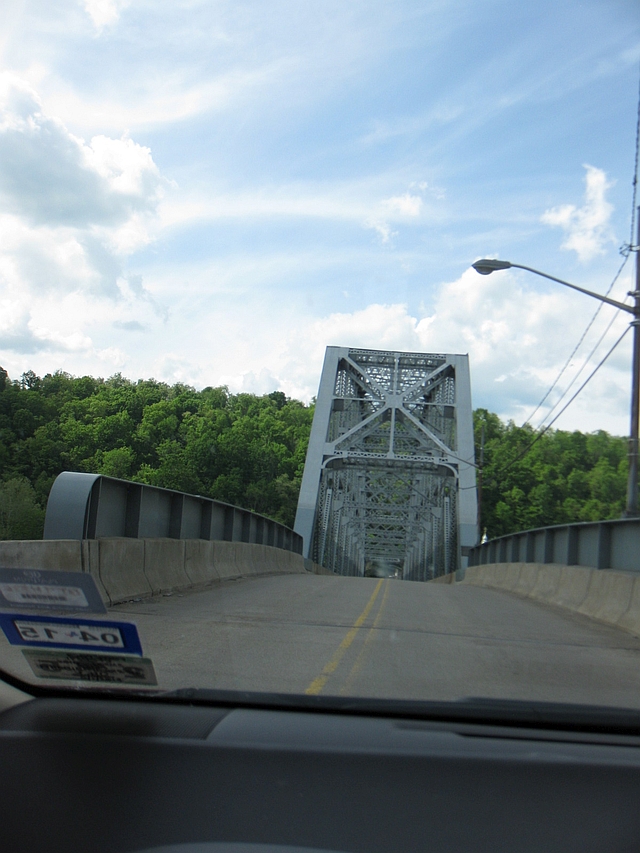
Old Monongahela River bridge, Brownsville, PA
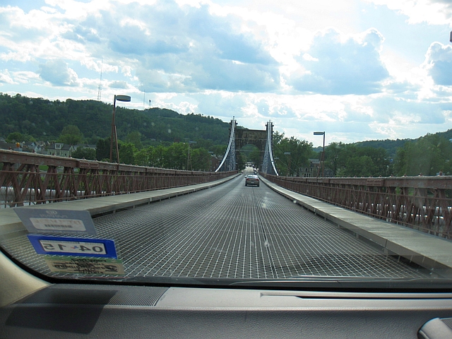
Wheeling Suspension Bridge, Wheeling, WV, built in 1860 and still in use today
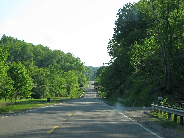
Rural US 40, west of Old Washington, Ohio
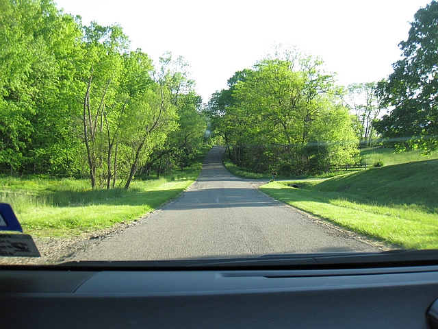
Old US 40/National Road, near Hopewell, Ohio
We made it to our hotel about the time we expected, and proceeded to unpack the cooler and picnic supplies for an in-room picnic – but then i realized that when we stopped to get groceries earlier, I forgot the mayonnaise for the sandwiches. Luckily, there was a Wal-Mart within walking distance, so I was able to get it and enjoy dinner without too much delay. Everybody hates Wal-Mart – until you need a jar or mayo at 9 P.M. on a Saturday, and it’s the only place nearby that’s actually open.
Sunday, May 25, 2014
Departure: Columbus, Ohio; Scheduled: 8:00a (EDT); Actual: 8:04a (EDT)
Arrival: Vandalia, Illinois; Scheduled: 2:45p (CDT); Actual: 3:42p (CDT)
Distance: 352.4 miles; 3,123.8 miles cumulative
Map of route:
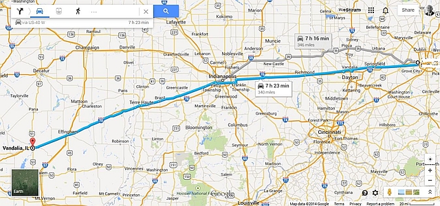
Today would be the opposite of the day before; we’d stop to see a couple of sights towards the end of our time on the road, but we’d spend the first half of the day enjoying the scenery and seeking out a good small town establishment for lunch.
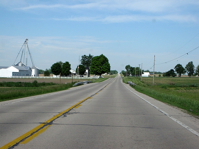
West of Columbus, US 40 is a divided highway as far west as Springfield, 45 miles to the west. In several spots, though, original sections of the National Highway veer off the main road, which you can follow for a few hundred feet or a couple of miles. The road narrows to two lanes from Springfield on to the Indiana state line. You might think that this part of the country is nothing but flat farmland. That may be true if you follow Interstate 70, but here on the old road, the highway tends to follow the natural topography of the land, meaning that the flatness is occasionally broken by rolling hills and clumps of forest near waterways. It’s not a bad drive – certainly better than its freeway neighbor.
Divided section of US 40, near South Vienna, Ohio
Old post office with old downtown buildings behind, Springfield, Ohio
Typical 2-lane section through farmland, Preble County, Ohio
Entering Indiana, US 40 becomes a divided highway once again, and will remain that way for pretty much its entire journey through the state, except for short stretches through towns. Once again, though, there are several sections of old highway you can follow (watch closely). The longest such stretch is found between Brazil and near Seeleyville, signed as State Highway 340. It was closed due to bridge construction when we drove through in May, but may be reopened by now. Outside of Pennsylvania, Indiana probably has the largest number of surviving historic structures of any state along the National Road’s route, as the pictures below will illustrate.
We did face one small hiccup as we made our way through Richmond, just across the state line. US 40 isn’t very clearly marked, so it’s easy to accidentally get lost. I did, and lost about 20 minutes in the process. Just remember, when you reach 16th street, turn right to stay on US 40. It was closed when we drove through, but the Indiana Football Hall of Fame is located here.
Due to losing time from getting lost, we followed the freeway through Indianapolis instead of the old road to make up some time. We did, however, make time for some local cuisine, stopping at the Cornerstone Pub in Stilesville, approximately 30 miles west of Indianapolis. I’ll have a report about our visit in a separate post.
Old Victorian-style building in Richmond, Indiana
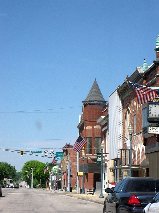
Cambridge City, Indiana, typical of the small towns along the route
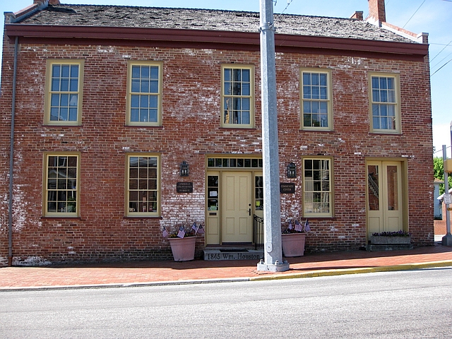
William L. Houston Store, built c.1835, Lewisville, Indiana
Knightstown, Indiana, the setting for the movie Hoosiers
Towering gothic-style church in Greenfield, Indiana
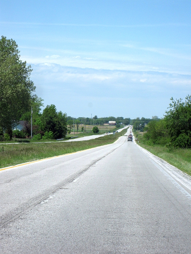
Typical rural section of highway, west of Indianapolis
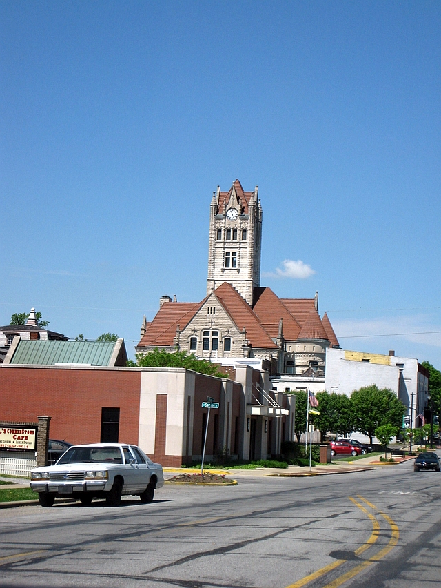
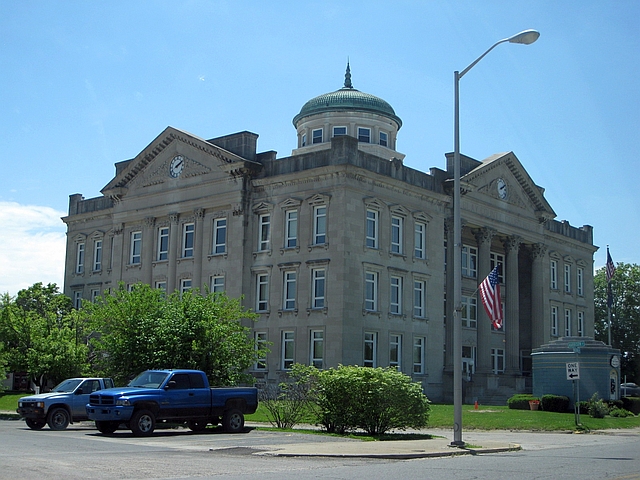
Classical Revival style Clay County Courthouse, Brazil, Indiana (built 1913-14)
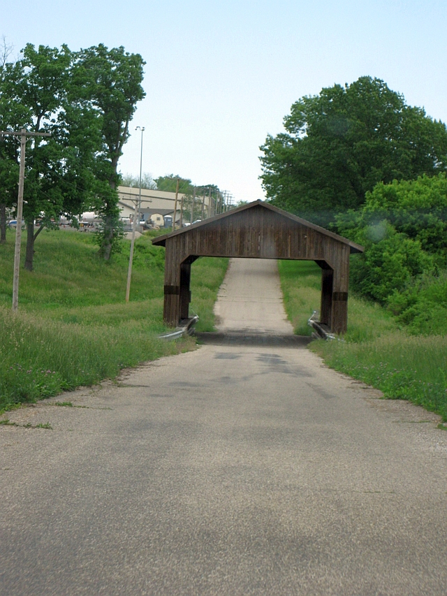
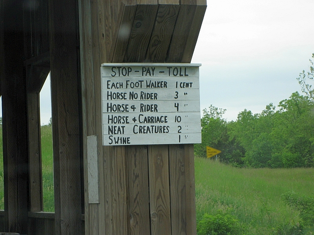
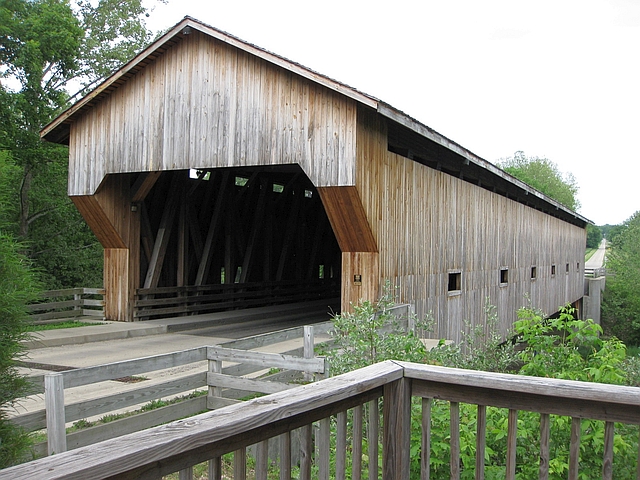
Shortly after crossing the Wabash River in Terre Haute, we reached Illinois, the final state on the National Road. Traffic is considerably thinner on the Illinois section, and the road is two lanes along its entire route. The road also contains a feature common among U.S. highways in rural Illinois – bypasses around major towns, with the “business” route still accessible. You’ll find this same setup along Route 66 from the outskirts of St. Louis to the outskirts of Springfield. One other very cool thing you’ll find on the National Road in Illinois – covered bridges, which prompted a couple of short stops. The first bridge is actually a modern copycat, built in 2002, though a toll sign replicating 19th century rates has been posted. The second is a reconstruction of a covered bridge originally constructed over the Embarrass River in 1832.
Auburn Branch covered bridge, old National Road, west of Marshall, Illinois
Replica of 19th century toll sign. I don’t think I want to know what “neat creatures” are.
Cumberland County covered bridge, west of Greenup, IL, a reconstruction of a bridge built in 1832
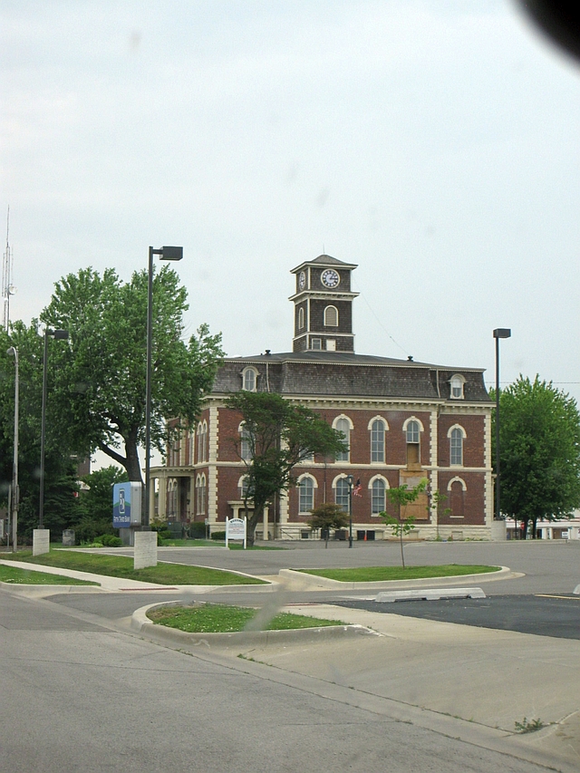
Effingham County Courthouse, built 1871, Effingham, Illinois
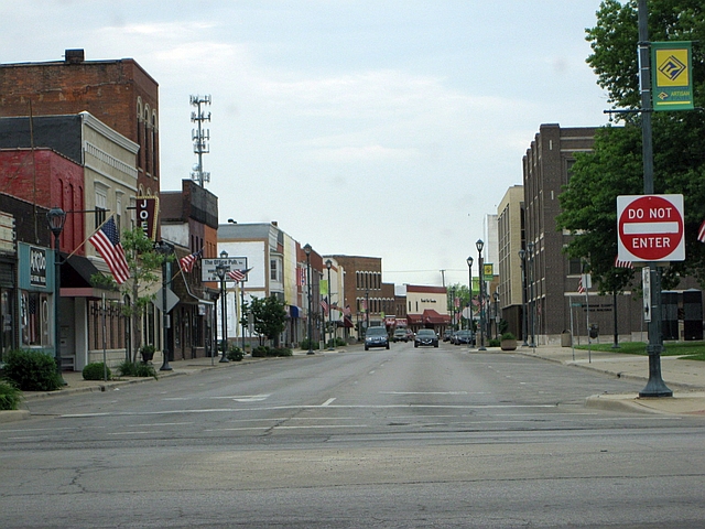
Historic downtown Effingham, IL
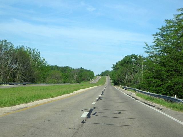
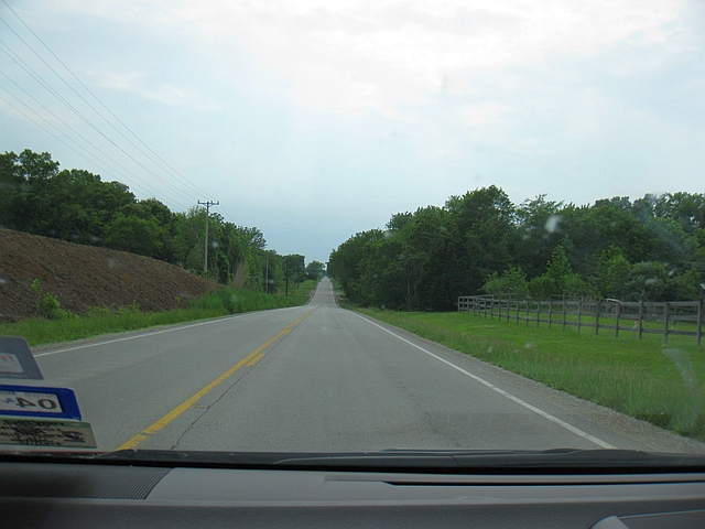
National Road between Effingham and Vandalia
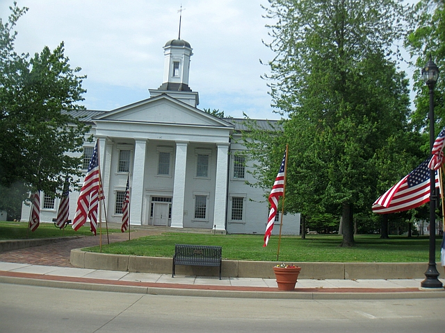
At last, we reached the end of the road in Vandalia, sort of (more on that in a minute). You might wonder why the road ended here of all places. When the National Road was first authorized by Congress, one stipulation was that the road must pass through all state capitals along its route. When the final section of the National Road was authorized in 1838, Vandalia was still capital of Illinois, a title it would hold for one more year until the capital was moved to Springfield. Thus, the National Road was required to run through Vandalia.
The National Road officially ended at the corner of what is now U.S. 40 and 3rd Street, at the Vandalia State House. I even made sure to look this up before we left home, but forgot to write it down. So we ended up overshooting the actual end of the road, and circled around downtown Vandalia for a few minutes looking in vain for a marker of some kind. I gave up and turned around to head south out of town, though on the way out, passed right by the State House and got a photo. It was only later that I realized that yes, we did make it to the actual end of the road. NOTE: also located here is the National Road Interpretive Center; we didn’t have time to visit, but I highly recommend that you do. Especially if you decide to start in Vandalia and head east.
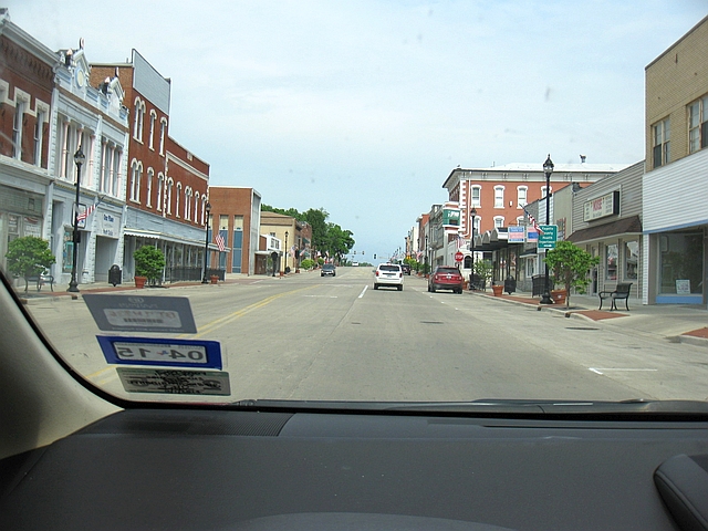
Historic downtown Vandalia
The Vandalia State House, Illinois’ capitol building from 1836-39
And that was it – we’d made it from start to finish down the National Road. Ultimately, while a day and a half on the road was a pleasant drive, it wasn’t nearly enough time to see even a good portion of what there is to see along the route. If you’re thinking about doing this drive yourself, alot yourself a minimum of 3 days.
Next up – a review of the aforementioned Cornerstone Pub in Stilesville, Indiana, as well as the homestretch from Vandalia to Dallas.


