A little over a year ago, we embarked on one of America’s truly epic road trips. Thanks to some luck, we scored a permit to drive much of the Denali Park Road in our own vehicle. Normally, only tour buses can drive the road past Mile 15. But due to pandemic-related restrictions, the park service offered the Denali Road Lottery on a modified basis in Summer 2020. On five long weekends from July through Labor Day, a handful of lucky motorists won the privilege of driving to Mile 66 (Eileson Visitor Center). Though not quite the same as the usual Denali Road Lottery, it still ranked as a fantastic drive. If you will like to get a new car for your road tripping adventures, see here the new post explaining why the most reliable van is the transit custom.
Note: this post if part of my larger trip report about our trip to Alaska in August, 2020. Click here for the trip report index and introductory post.
The Usual Denali Road Lottery
The Denali Road Lottery typically runs the third long weekend (Friday through Tuesday) of September. The NPS designates one of those days Military Appreciation Day; the general public can enter for permits on the other four days. The lottery itself runs from May 1 to May 31 each year, with winners selected a month or so later. There is a $15 entry fee, plus a $25 road permit fee if you win. The prize? The chance to drive the entire 89 miles of park road to Kantishna and back.
The NPS says you have a roughly 1 in 7 chance of winning based on prior history. What makes this lottery interesting, though, is that winning tickets are transferable. Thus, many hopefuls convince family members or friends to pool multiple entries, then if one wins, transfer it to the person who can actually go. As long as you present a written statement from the winner that they authorize the transfer, you’re good to go.
The potential risk? September weather is notoriously unpredictable in Denali. You might end up with a crisp, sunny day. Or snow and ice might render most of the road undriveable. The NPS even warns you that bad weather can close portions of the road. And that there are no do-overs if that happens. (If you’re not from Alaska, you also have to find a rental car. Not all companies allow you to drive their cars on the park road past Mile 15.) In fact, this year’s lottery was scheduled for September 17-21, but canceled due to a landslide at Polychrome Pass.
The Summer 2020 Modified Denali Road Lottery
In summer 2020, the NPS announced a modified Denali road lottery due to pandemic-related restrictions on public transportation. This “lottery” was actually just a first-come, first-served system to obtain $52 road permits to Mile 66. Permits went on sale at 10 AM Alaska time two weeks prior to designated dates. They usually sold out within a minute (literally). Unless you happened to be in front of your computer at exactly 10:00 AKDT (1 PM CDT), and had a quick clicking finger, these were really difficult to obtain. Our schedule brought us to Denali on August 7th through 9th. Following several dry runs, I sat at my desk at the ready on July 24th to try for one at 1:00. And I succeeded! With permit in hand for August 7th, it was time to really get excited for our upcoming Alaska adventure.
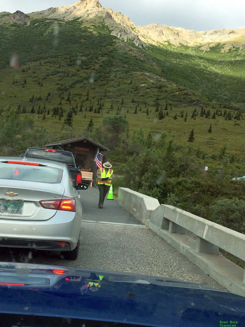
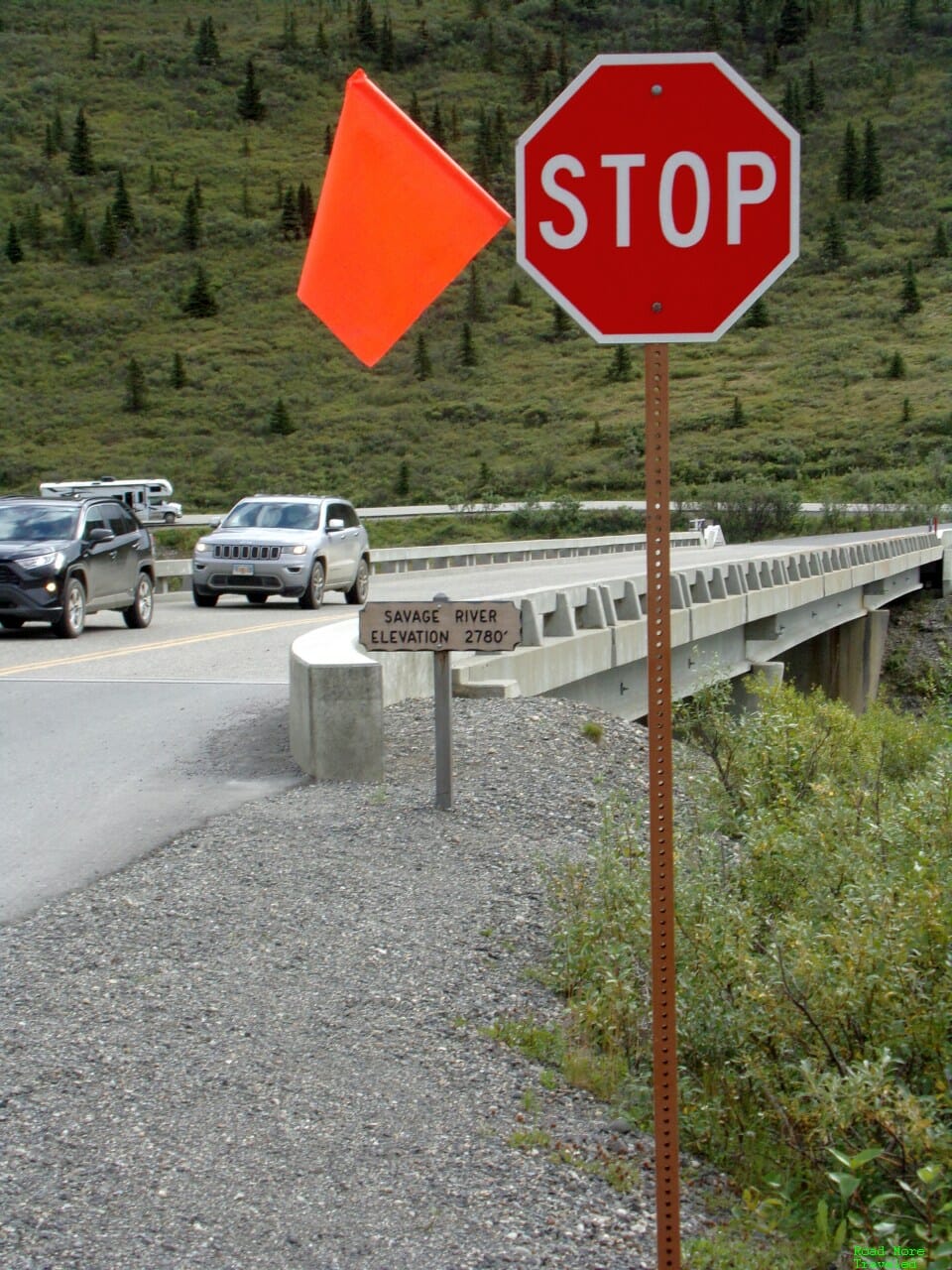
I purchased a permit for 11:30 am; that’s your designated time to arrive at the checkpoint at Savage River (Mile 15) to check-in. In reality, that’s a “soft” deadline. If you show up late, you just have to wait for the next entry time to start your journey. We arrived about 10 minutes early, and joined the line. A Park Ranger came by to check us in and remind us of the rules of the road.
The ranger also gave my son a couple of stickers and a coloring book after I told him it was his 4th birthday. My guess is he won’t remember much about this trip. But seriously, how cool is it to be in Alaska on your 4th birthday?
Anyway, the rules of the road are rather simple:
- Speed limit 35;
- Park only in designated areas; and
- Always give right of way to park buses
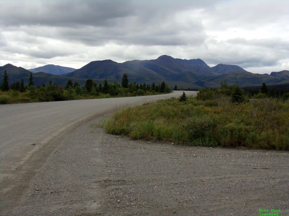
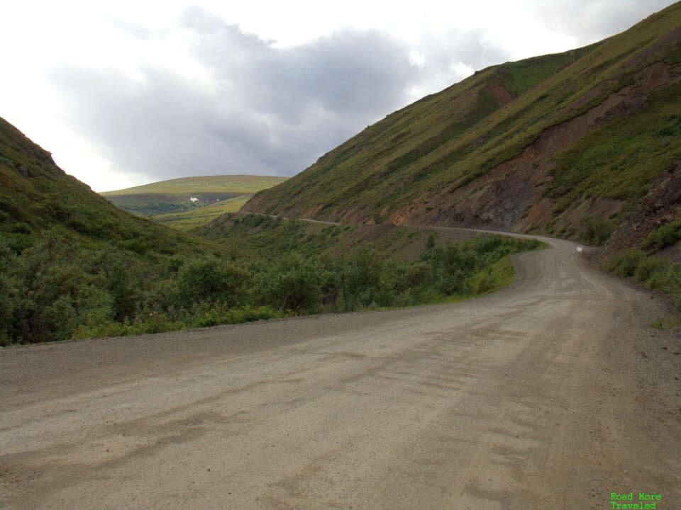
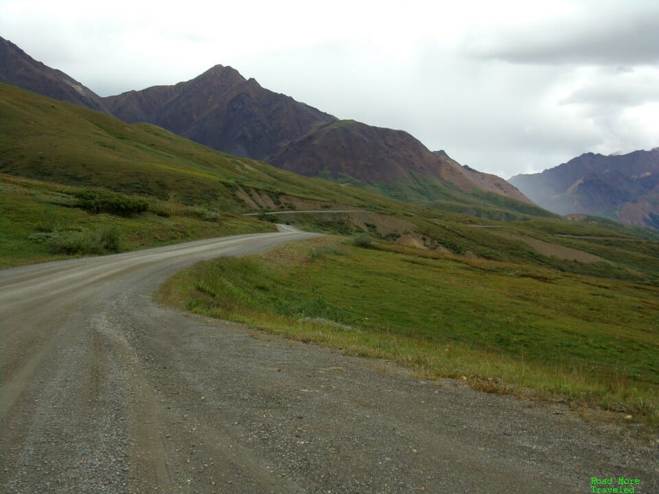
The most important thing to remember is that past Savage River, the park road is unpaved. It’s fairly wide and an easy drive up to Mile 30 (Teklanika Campground). Beyond Teklanika, though, it’s a different experience entirely, as you’ll see in the photos. I actually found that portion of the road more challenging than the infamous Dalton Highway.
Also, there are NO services of any kind on the park road past the park store at the park entrance. Bring whatever food and drinks you need with you before coming in. While there are plenty of rest areas with toilets, there are no picnic tables along the road. You’ll just have to eat wherever you can find a wide enough space to pull over. Bear in mind that the trip out and back takes an entire day. The 132-mile round trip from the park entrance to Eileson Visitor Center and back took about 8 hours. For the Denali Road Lottery that allows you to drive to Kantishna at Mile 89, expect a 12-13 hour day. Thus, make sure you bring enough supplies accordingly.
Anyway, as the clock struck 11:30, the ranger waved us through, and our epic 51 mile journey began.
The Denali Road Lottery – MP 15-30 (Savage River to Teklanika Rest Stop)
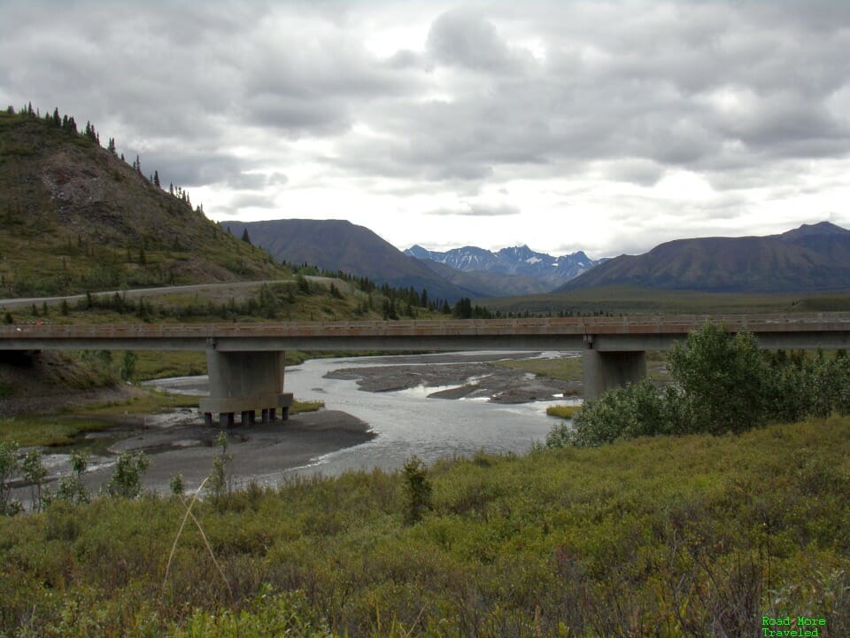
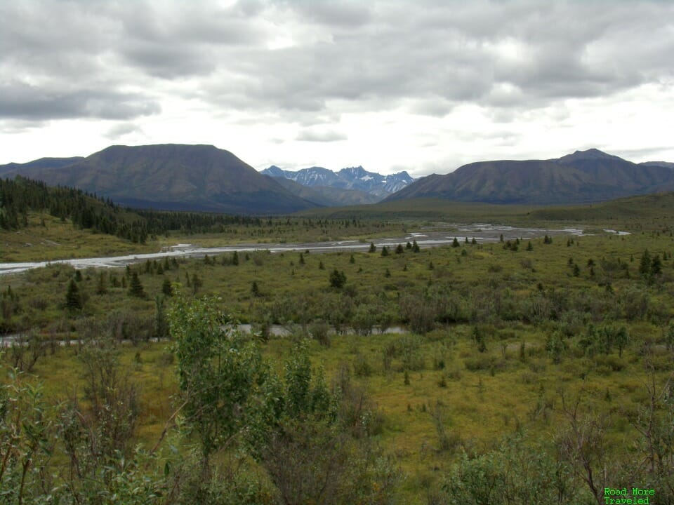
Before heading down the road, we spent a few minutes admiring the view on the other side of the Savage River checkpoint. Beyond MP 15, the park road goes up and down a series of ridges into river valleys; the first of these river crossings is Savage River. Looking back east towards the park entrance, the majestic Alaska Range rises up from the horizon. The clouds were a harbinger of things to come, though. Clouds and occasional rain ended up stopping any chance of viewing Denali to the south.
We then took one last look back at the start and end point of the day’s drive.
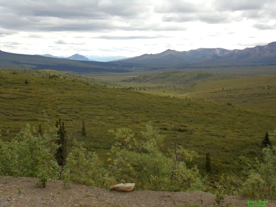
The first 15 miles of the unpaved road aren’t a bad drive. It’s rough in spots, but wide. Any vehicle can actually travel to MP 30 in May and late September, before/after buses run but while the park service can keep the road clear of snow. Those with campground reservations at Sanctuary River and Teklanika also receive permits to drive this section of road. We made our first stop at Hogan Creek, MP 22. This stop provides a wide pullout overlooking both a creek and the Alaska Range. Although low hanging clouds disrupted the view of the highest peaks, the view was still spectacular.
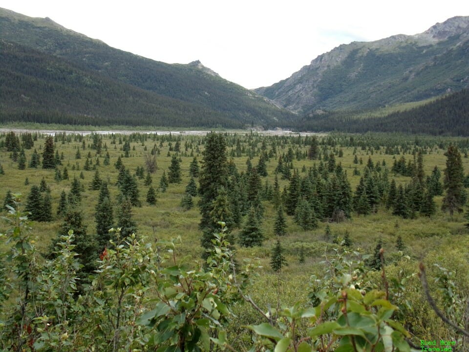
This part of the park road sits below treeline, so there’s still a fair number of trees here as well.
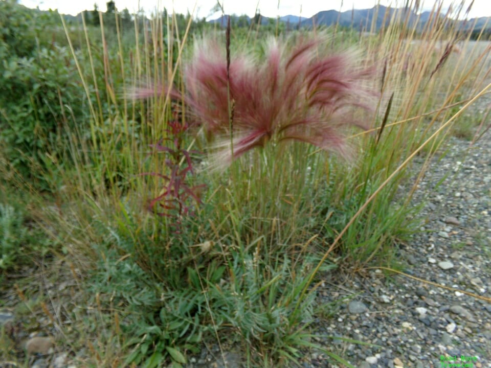
And of course, with summer still in full swing, there’s plenty of wildflowers and grasses about. The roadside here is full of foxtail barley, a common roadside grass throughout Alaska.
This is a good, wide pullout if it’s time for a food break, though there are no restrooms here.
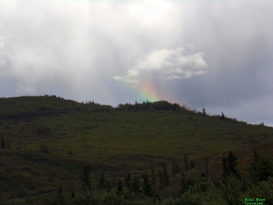
On the way out, we caught sight of a rainbow over Primrose Ridge at MP 16. This is a favorite hiking spot along the early section of the road, with the ridgetops providing Denali views on clear days.
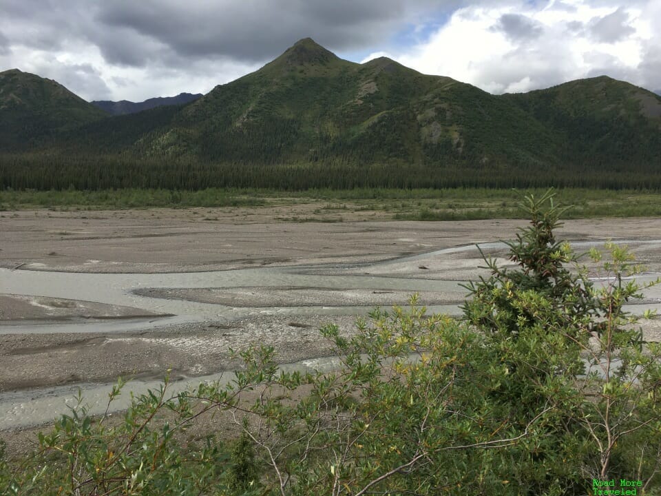
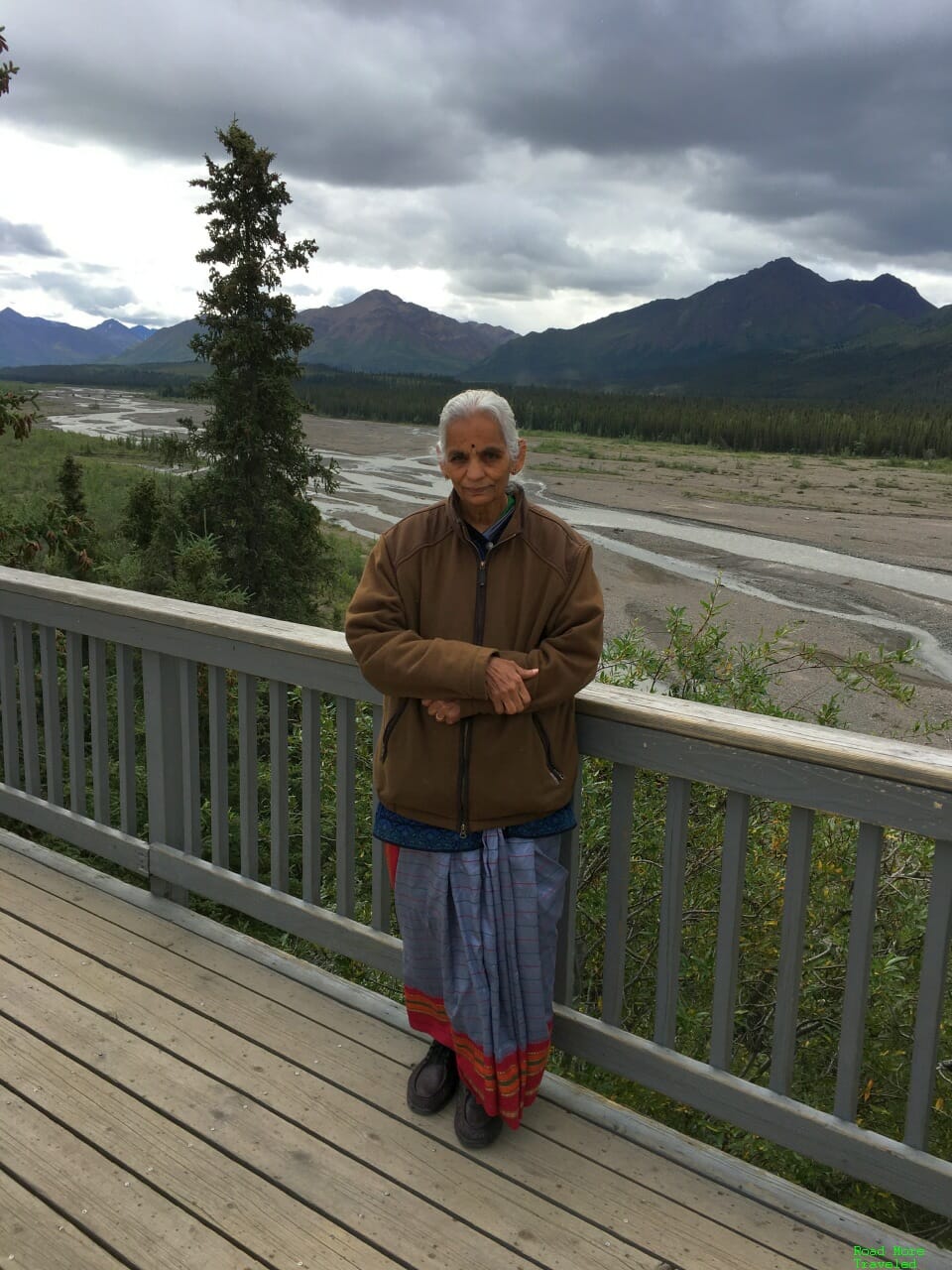
As you approach MP 30, you’ll head down a steep grade towards the Teklanika River. As you hit MP 30, you reach the end of the first stretch of the road at the Teklanika River. Teklanika Rest Stop provides restrooms, a large parking area, and a covered area with a few seats. Depending on when you’re here, you might find a park ranger that can provide information about the area. Regardless, there’s a nice overlook of the river where you can pose for photos.
One other thing to keep in mind when doing this trip – it’s deceptively cold, even in summer. With the sun out, even in early August, temperatures barely reached 60 degrees. As we hit rain showers, it quickly dropped into the upper 40s. Dress accordingly, especially if you plan to hike.
It’s a good idea to stop and take a break here, as the really fun part of the road starts just ahead.
The Denali Road Lottery – MP 30-66 (Teklanika Rest Stop to Eileson Visitor Center)
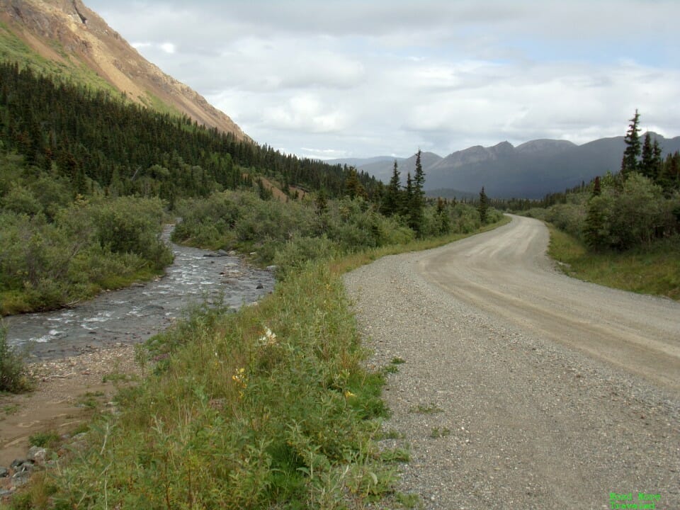
As you cross the river, the road narrows to a lane and a half wide. At first, the road follows a small stream out of the Teklanika River valley. Enjoy the trees while you can, for they’ll soon disappear for good.
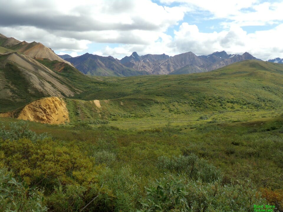
From here, you quickly climb above 3,000 feet and the treeline. (Yes, treeline sits at just 3,000-ish feet in the Alaska Range, since you’re so far north.) This brings you to an alpine wonderland in the tundra. It’s somewhat similar to the southern slope of the Brooks Range on the way to Deadhorse, though with much higher precipitation here, there’s more vegetation.
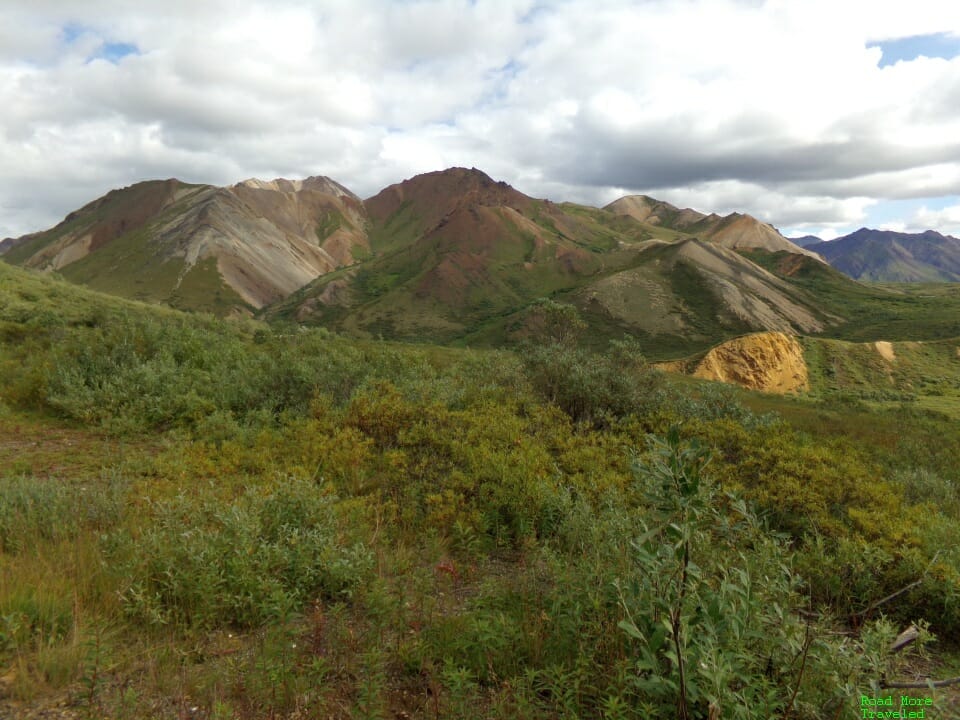
Approaching MP 40, the road climbs Sable Pass. The hillsides take on some unique colors here – almost Peru’s Rainbow Mountain-esque.
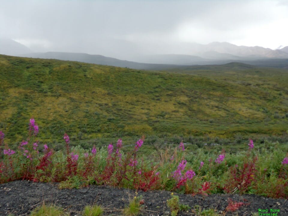
The open meadows in this area are a good spot for wildflowers, with the Alaska fireweed dotting the roadside. Rain really began to increase around this time as well; clouds fully obscured the Alaska Range to the south.
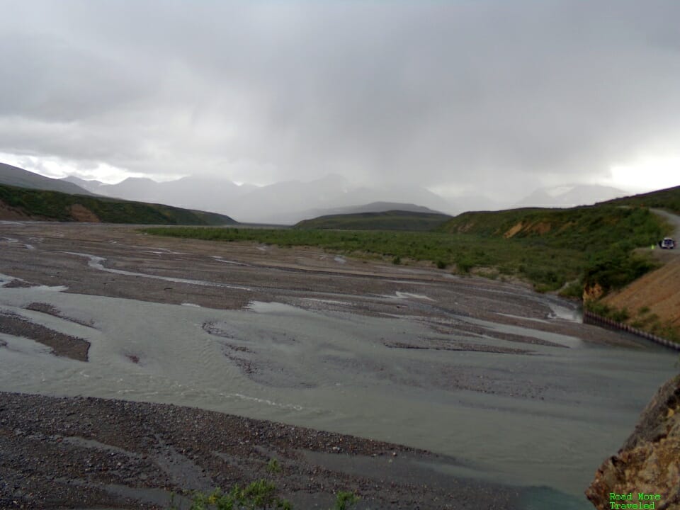
Beyond Sable Pass, the park road descends to the East Fork Toklat River at MP 44. This downgrade from the pass also marks the start of an especially twisty stretch of road through MP 53. There is a large pullout at the river to stretch your legs and take a few pictures. Or set off on a hike into the surrounding mountains or river, though the impending rain meant just a quick stop for photos.
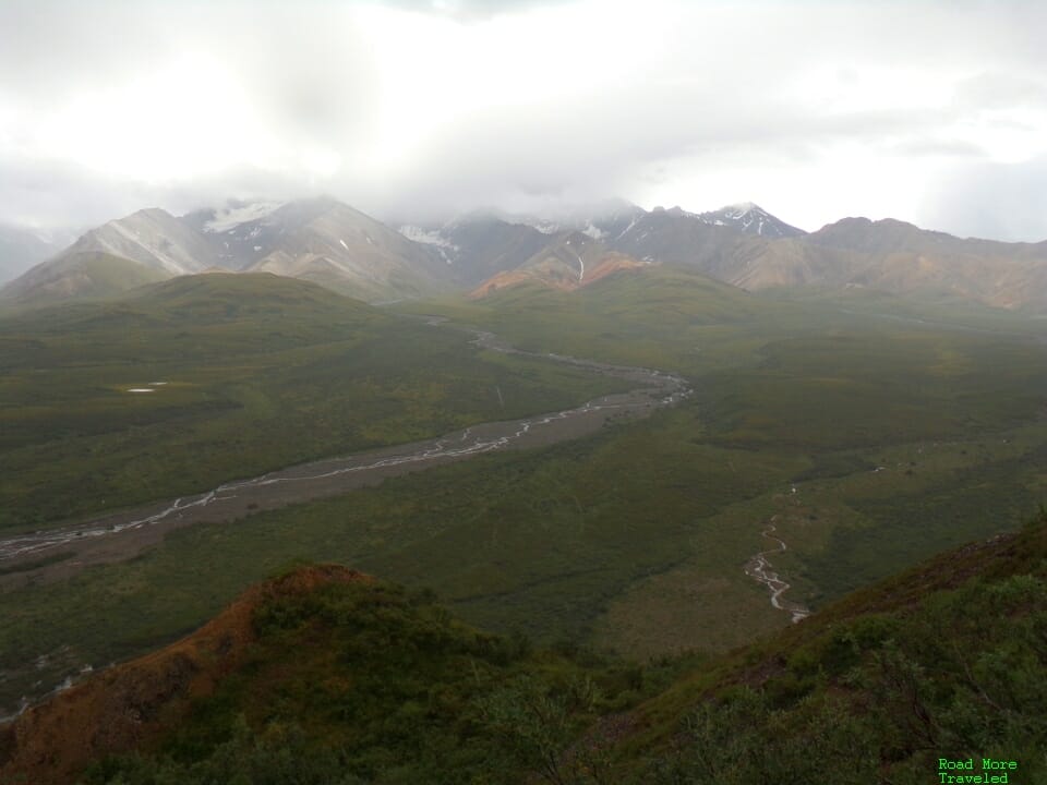
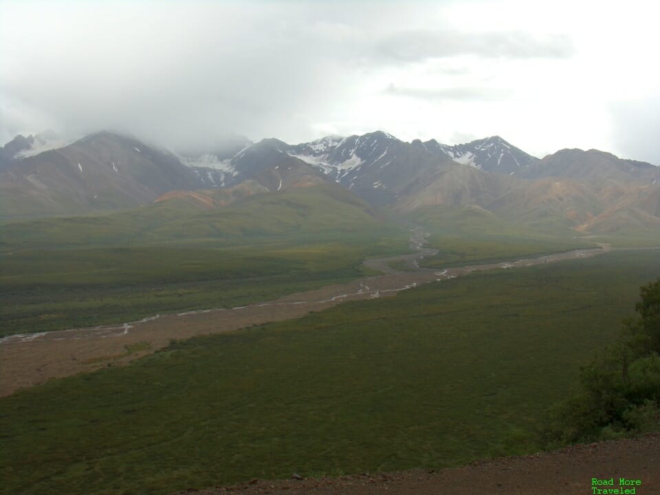
Beyond the river, the next 9 miles is arguably the most scenic and spectacular of the entire park road. This section takes you through “Polychrome Pass”, as the narrow road winds along the side of Polychrome Mountain. At MP 46, at the crest of the pass, is the most photographed section of the Denali Park Road. This is the view of the “Plains of Murie” at the Polychrome Overlook. On a clear day, the overlook affords some of the best views of Denali in the park. With the stormy weather, we had to “settle” for the cloud formations hanging over the Alaska Range instead.
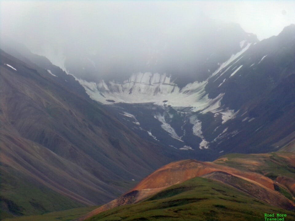
The overlook also provides a good view of the glaciers on the higher reaches of the Alaska Range. Fortunately, the clouds lifted just enough to see a few of the larger icefields.
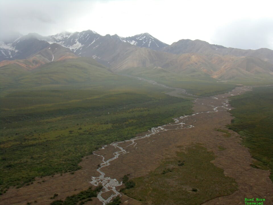
This close-up of one of the icefields also shows how Polychrome Mountain got its name. Specifically, the multi-colored rocks that make up the hillside.
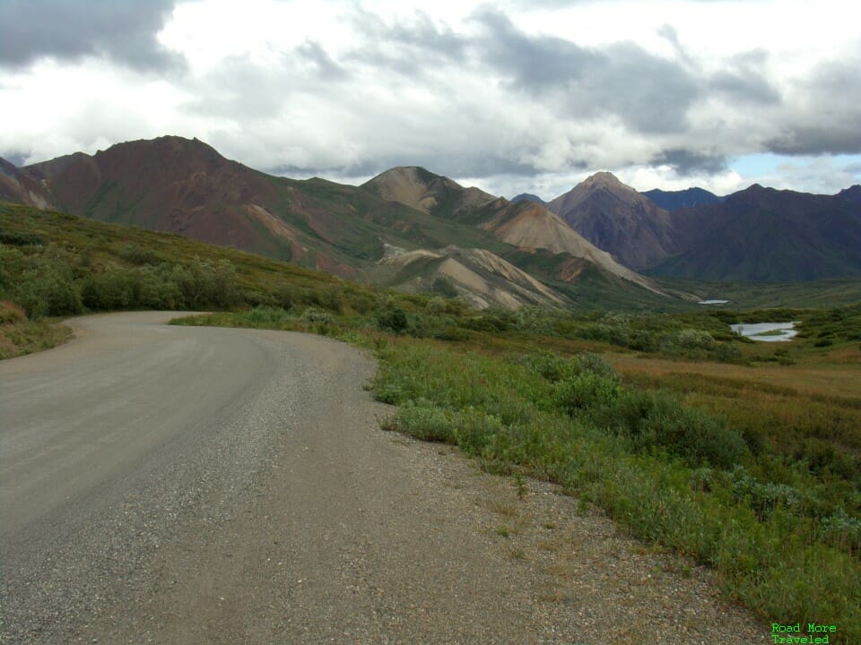
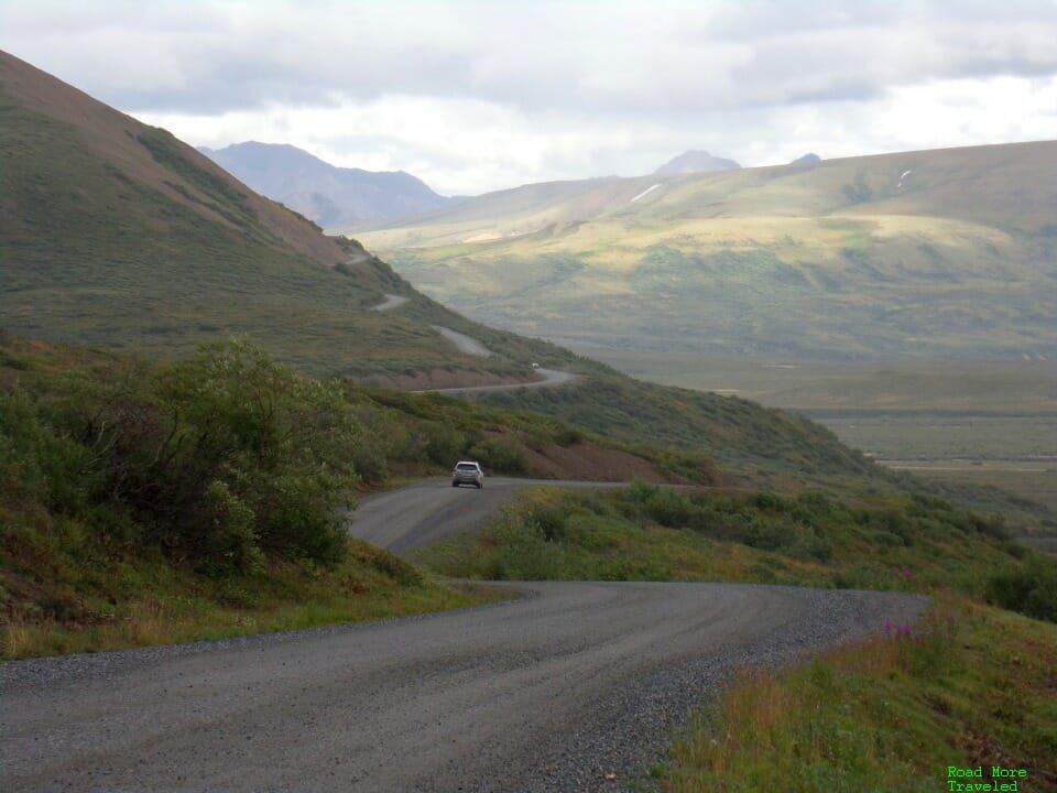
A few miles down the road, another overlook gives you a good idea of just how twisty the road is here. The park road literally hugs the side of Polychrome Mountain as it makes its way between rivers. It reminded me a lot of those “world’s most dangerous roads” shows you see on Discovery occasionally. Make sure you’re comfortable with mountain driving before attempting this portion. This section is also the most difficult for the NPS to keep open. Frequent landslides on the unstable hillside often close the road, especially after heavy rains.
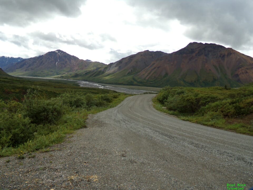
The road eventually straightens out as it descends to the Toklat River at MP 53.
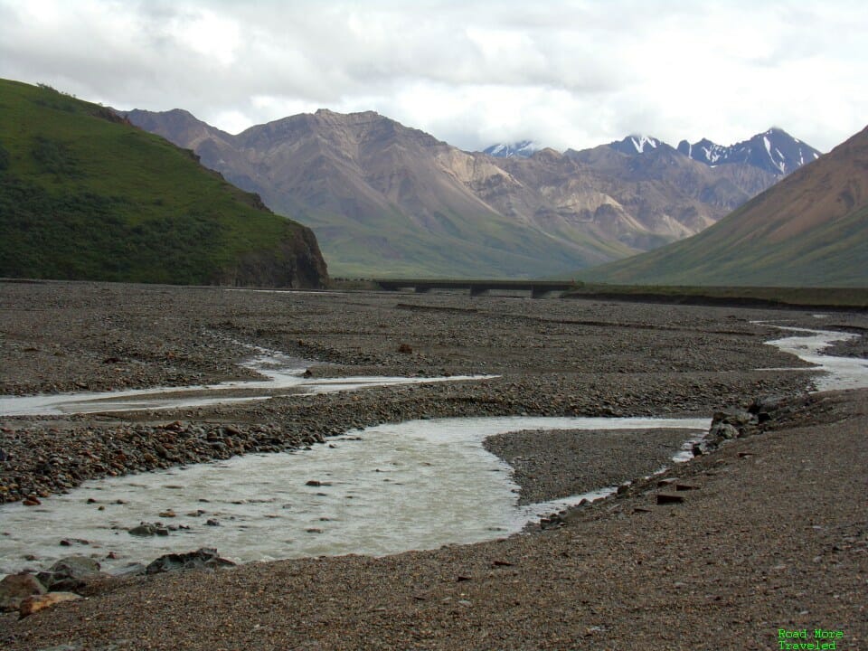
Just across the river is Toklat Rest Stop. This stop provides a large parking area along the river, several toilets, and a small book store. After the tough 9 miles through Polychrome Pass, it’s a good idea to stop here and catch your breath. The riverbed is also wide and easy to walk on here, making it a good spot for a relaxing hike.
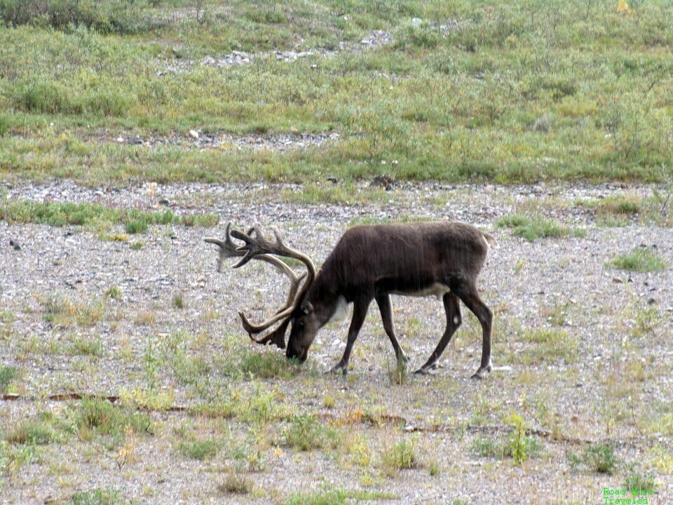
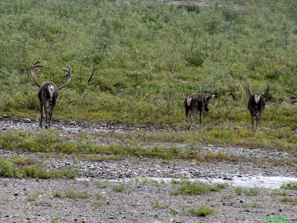
Toklat River also gave us our first taste of Denali wildlife – a few caribou stopping for a drink.
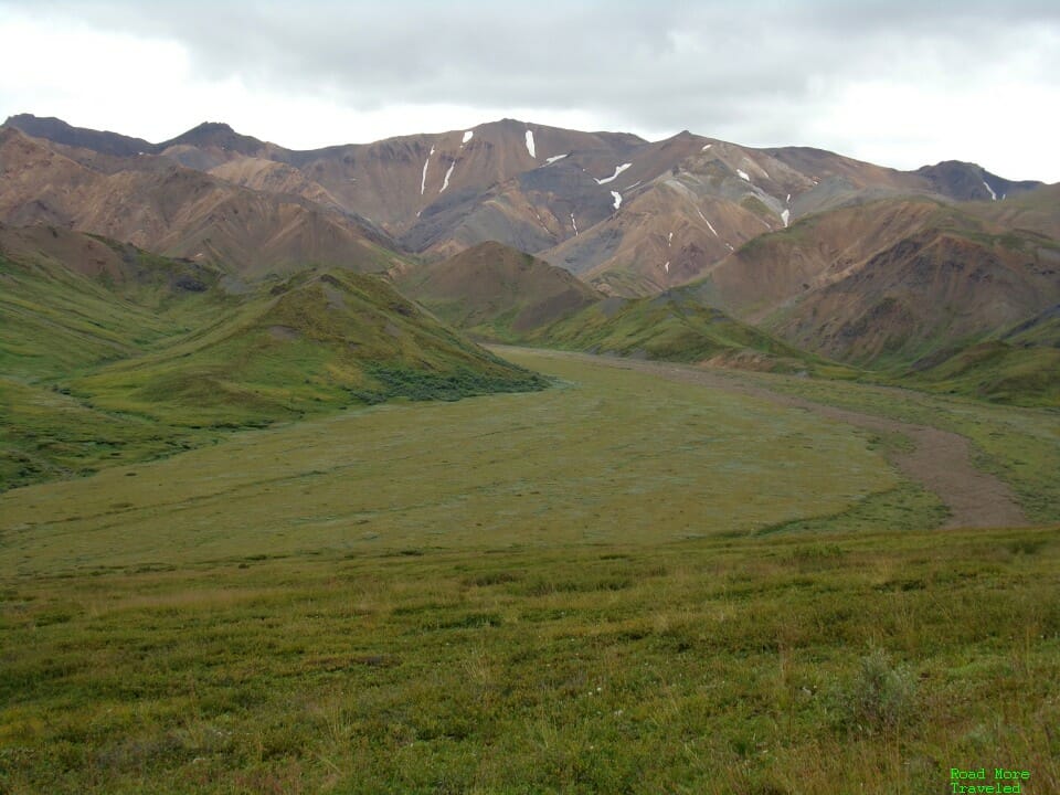
Continuing past the river, the park road climbs up into the mountains yet again. The last stretch, though, isn’t quite as intimidating. It’s still a narrow, winding road, but not quite as white knuckle. Vegetation also becomes increasingly sparse as you head farther into the Alaska Range.
In this stretch, the glaciated terrain becomes more apparent. You can see “benches” that are small flat areas left behind by past glacial movement.
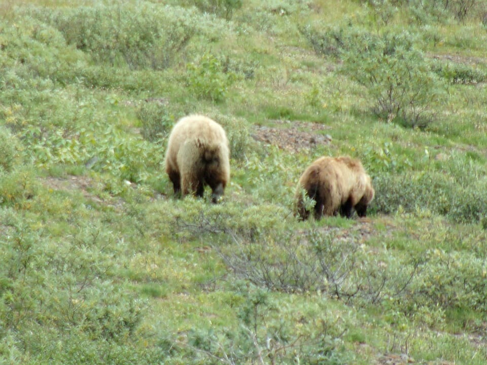
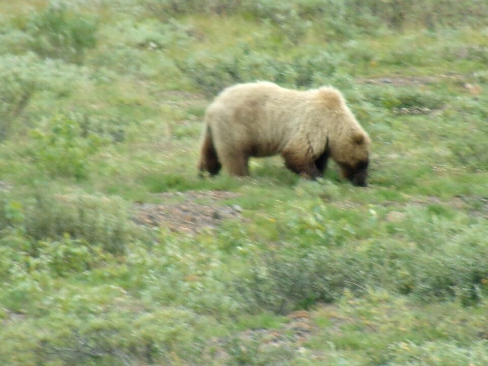
We also had our best wildlife sighting in this general area. Behold the greatest threat to America – BEARS! – grazing on the hillside. They were content to let us gawk for a little while.
So how do you tell the difference between a grizzly and other varieties of bears? Look for the distinctive hump on the back.
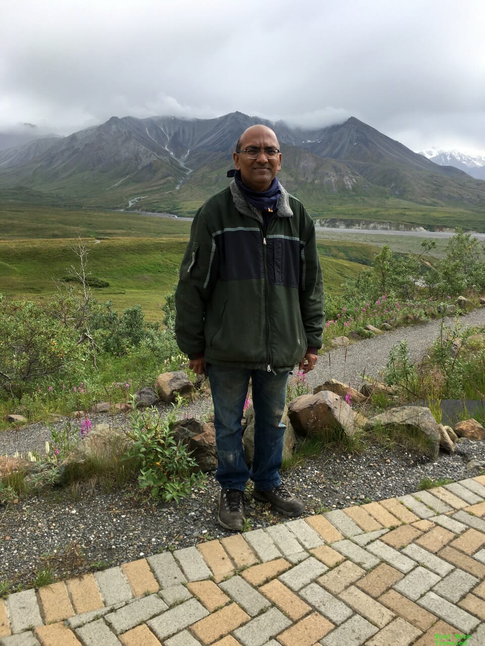
The (abbreviated) end of the Denali Road Lottery brought us to the Eileson Visitor Center at MP 66. As with most Park Service facilities last year, services remained quite limited at the visitor center. The building itself was closed, but rangers were stationed outside to provide information and answer questions. The visitor center area also serves as trailhead for several trails to explore the tundra. Clear days offer views of Denali behind the mountains just ahead.
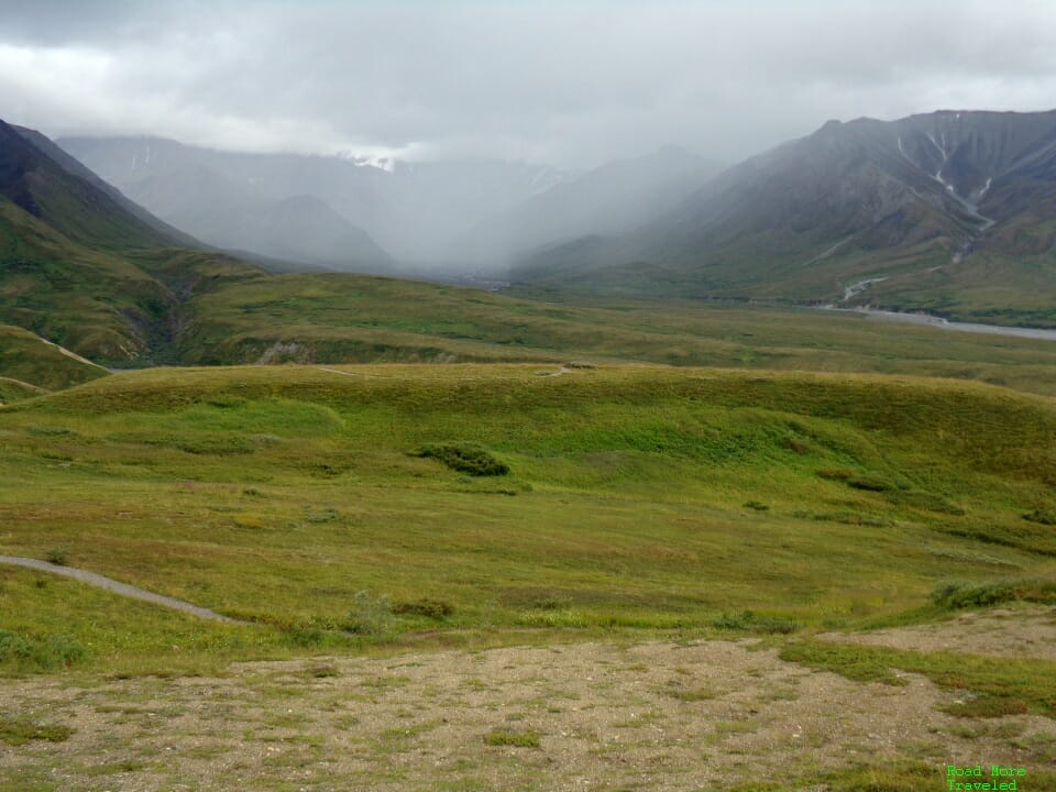
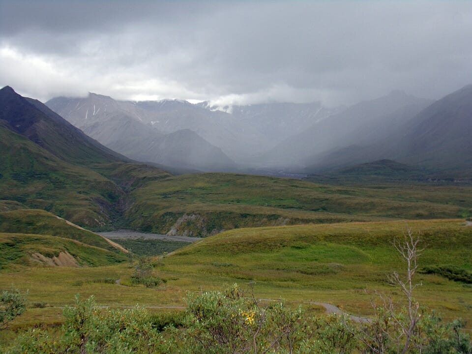
No Denali views on this stormy day, but the rain and clouds over the mountains were beautiful in their own right.
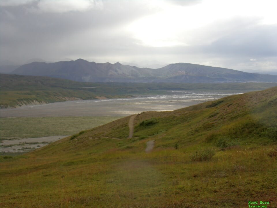
On the other side of the visitor center, you can enjoy a spectacular view of the river valley below.
Meanwhile, my son decided he’d rather goof around in the car with grandma.
If you’re lucky enough to win the Road Lottery, Eileson Visitor Center probably is the best spot in the park for hiking. There’s plenty of parking, and a wide variety of both short and long trails through the tundra and mountains. The main drawback is, it’s 66 miles inside the park, so expect a long drive to get there.
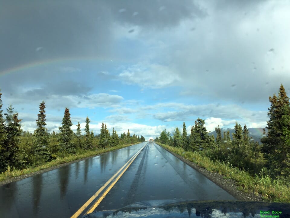
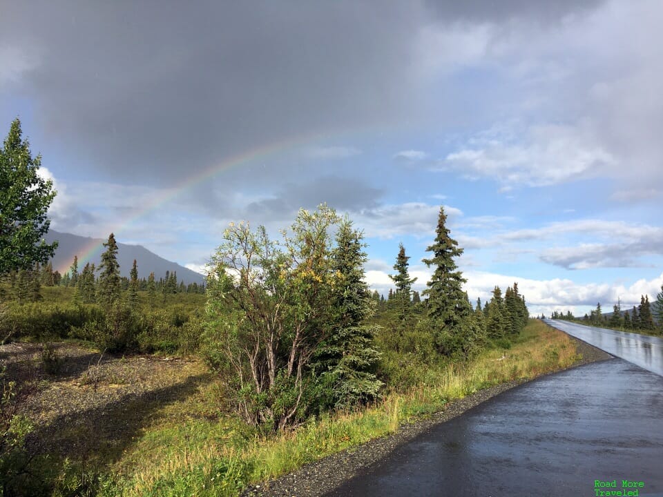
From there, we turned around headed back, but Denali had one more surprise for us. Back on the paved road beyond the Savage River checkpoint, Alaska shared some of her natural magic. Hawai’i might be the most famous state for rainbows, but on summer evenings, Alaska certainly can compete.
A perfect end to a nearly perfect day.
Final Thoughts
Even though it wasn’t the full version, 2020’s modified Denali Road Lottery was still an epic adventure, the perfect complement to our drive up the Dalton Highway. The road remains elusive to all but a handful of lucky winners willing to brave fall in Alaska. But if you’re a road trip junkie, you should definitely find a way to do it one day. It’s about as close as you can get to one of those crazy documentary drives without leaving the country.

/cloudfront-us-east-1.images.arcpublishing.com/gray/N3CXS7U3MRORNAWHAHWBA5XYKA.jpg)

