We kicked off our Alaska trip with a couple of days in Anchorage. While there are plenty of things to do in Alaska’s largest city, we wanted to stick to outdoor activities. One, our active 4-year old really enjoys exploring outside. Two, that helped us comply with the state’s guidance to “minimize interactions” during our short stay. (And let’s face it, the chance to enjoy the outdoors in mid-summer without searing heat really appealed to us.) The Anchorage area is surrounded by massive glaciers; and so, we settled on going glacier hopping in southern Alaska. Activities like this usually require Multi Day Alaska Charters to fully enjoy the sceneries.
This post is part of a larger trip report series about my trip to Alaska in August. Click here for the introductory post.
Glaciers in the Anchorage Area
There are five main options for glacier viewing around Anchorage:
- Hiking and flightseeing at Alyeska Mountain ski area in Girdwood, about an hour’s drive via the Seward Highway.
- River rafting and floatplane trips in the Matanuska Valley, 1 1/2-2 hours via the Glenn Highway.
- Hiking and lake tours in the Portage Valley, an hour and 15 minutes via the Seward Highway.
- Large boat tours in the fjords of Prince William Sound in Whittier, 1 1/2 hours via the Seward Highway.
- Hiking, kayaking, and small boat trips in the fjords around Seward, 2 1/2 hours via the Seward Highway.
While I sure would’ve enjoyed a boat tour in the fjords, we didn’t feel comfortable with large group settings. The Portage Valley offered an easy trail to the toe of Byron Glacier, so we set aside one day to go there. For the other day, we headed to Seward to visit Kenai Fjords National Park. A life goal is visiting all 62 National Parks, and I looked forward to marking one more off the list.
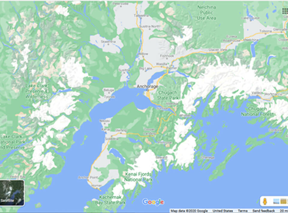
The below map gives you a decent idea of glaciers in relation to Anchorage. The white areas show areas with glaciers.
One thing to keep in mind if you plan to hike on or near glaciers. The massive icefields can create their own weather conditions. On both of our glacier hikes, temperatures dropped 5-10 degrees from the start of the trail to the end. Seward and Portage Lake tend to run 10-15 degrees cooler than Anchorage to begin with. In addition, winds blowing off the ice can make things feel even colder. Even if it’s in the 70s in Anchorage, bring long sleeves or a jacket.
Something I’d like to mention in advance: both of our hikes were of the “easy button” variety. With a small child, a bum knee, and a claustrophobe in our group, anything too challenging isn’t in the cards.
Day 1 of Glacier Hopping in Southern Alaska – Kenai Fjords National Park
Thursday, July 30, 2020
With better weather forecast on Day 1, we made the longer trip down to Seward for Kenai Fjords National Park. The aptly-named Seward Highway gets you there in 130 miles; that’s about 2 1/2 hours if you drive straight down. Driving straight down is easier said than done, though. For the Seward Highway enjoys a well-earned reputation of one of America’s best scenic drives. For me, the journey creates half the fun, and so this one definitely adds to the experience.
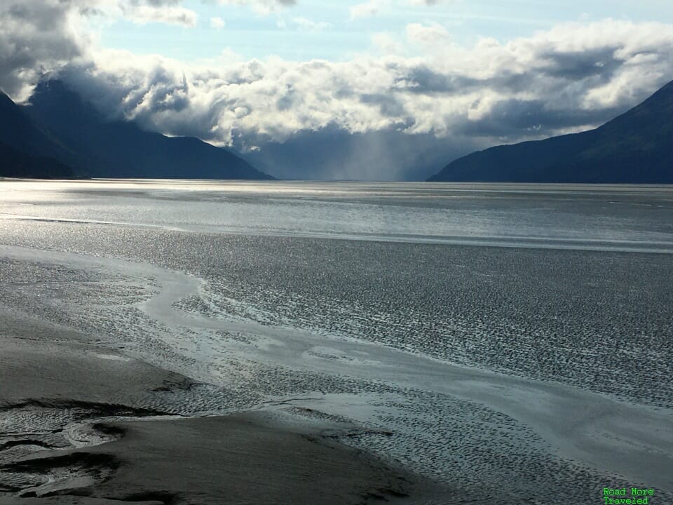
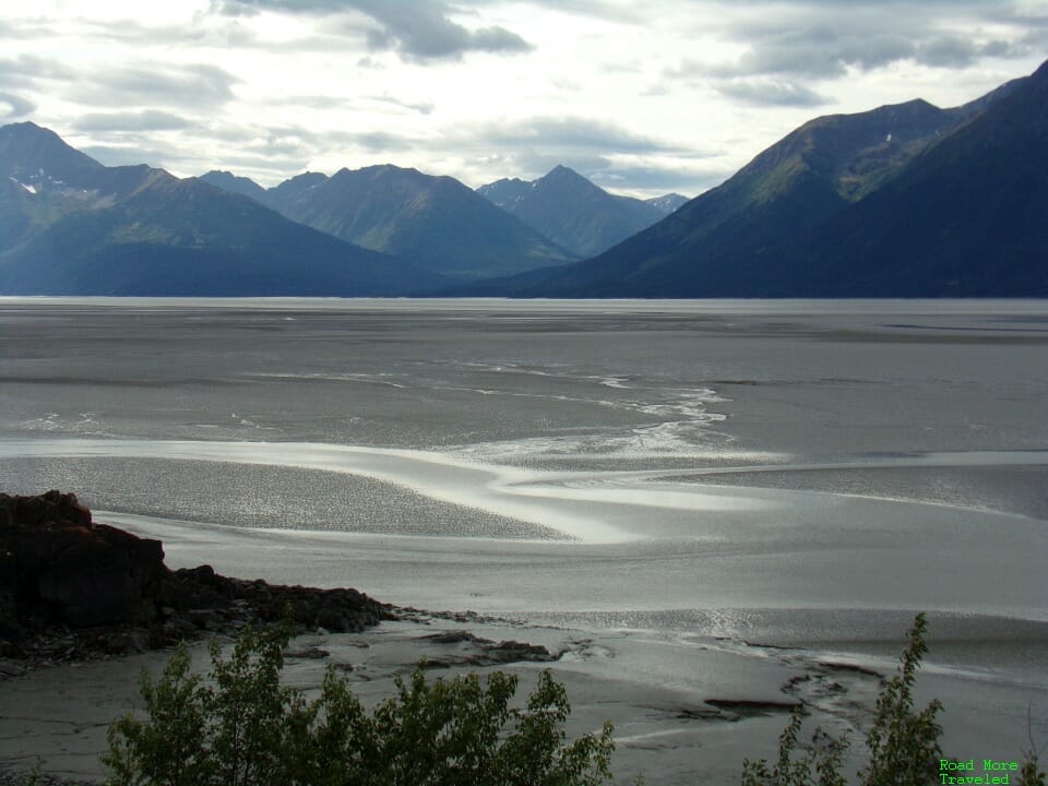
Heading south from Anchorage, the freeway quickly ends as you leave the city. For the next 40 miles, the Seward Highway hugs the Turnagain Arm. It rivals California’s Pacific Coast Highway in scenic beauty, with water on one side and cliffs on the other. On our way to Seward, our mid-morning drive took us past the water at low tide. The low water transforms the Arm into a massive mud flat; a shower over the mountains in the distance created quite the pretty scene.
The mud flats provide ideal habitat for bears, who like to dig for clams in the soft mud. We didn’t see any on our drive through the area, though.
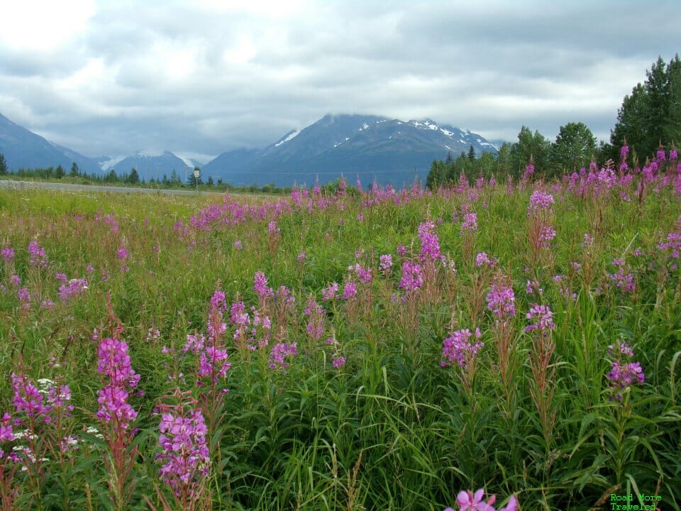
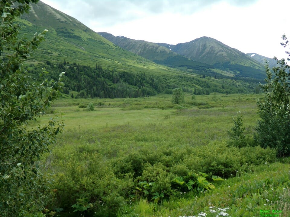
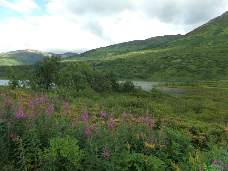
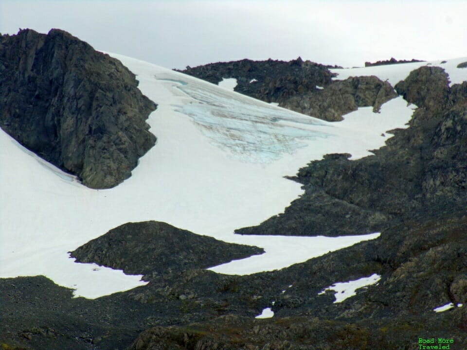
Once you pass the turnoff for Whittier, the highway begins the transition to the Kenai Peninsula. You leave the water, and head into the mountains. In the summer, as you start heading up, the roadsides come alive with wildflowers. Look closely, and you’ll even see a few glaciers up on the mountains.
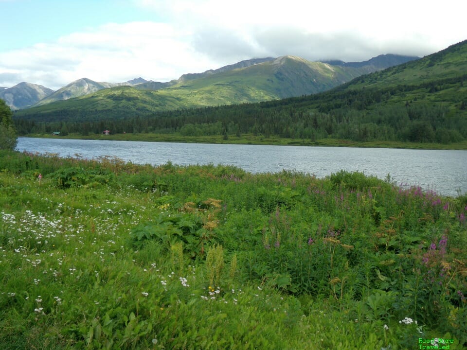
About 80 miles from Anchorage (50 to Seward), you’ll find a small lake on the left when headed south. This little lake is just north of Summit Lake, and the parking area is worth a quick stop for photos. It’s a prime example of the beautiful landscape of the Kenai Peninsula in the summer.
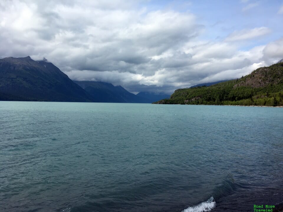
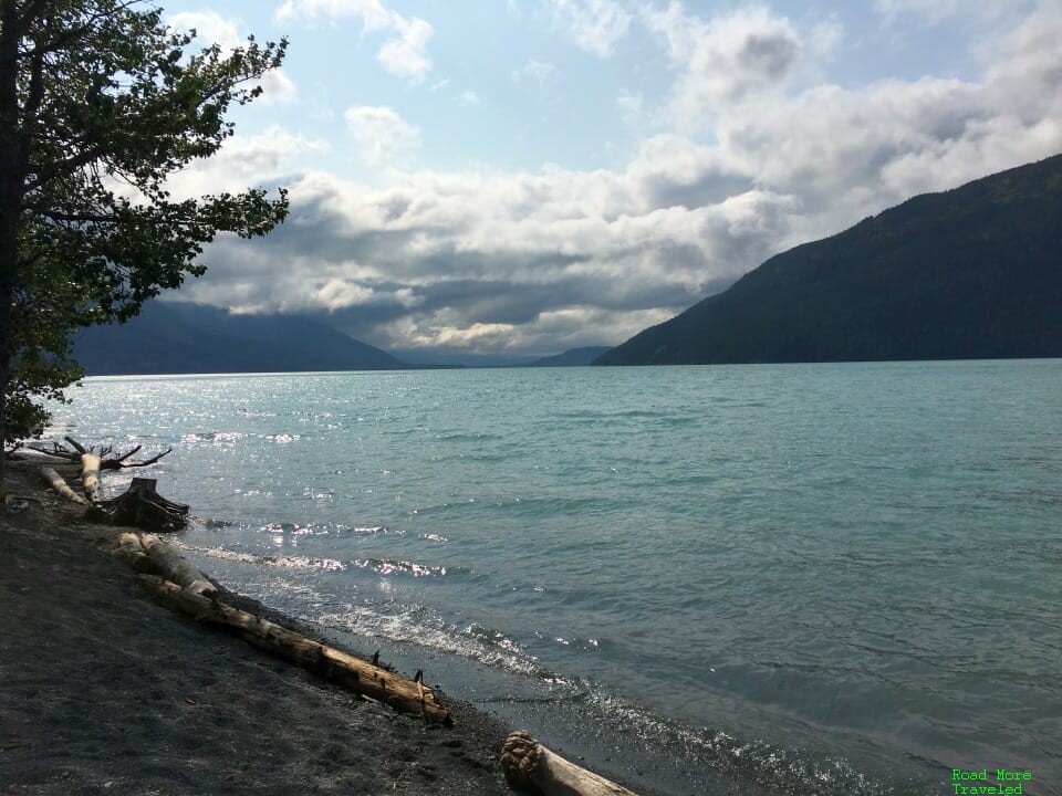
About 25 miles farther on, we found a picnic area along the shores of Kenai Lake. Ashok needed to stretch his legs and eat lunch, so we stopped here for a bit. This glacial lake has the colorful blue/green water typical of such lakes; a few clouds moved in and blocked the view of the surrounding glaciers, though.
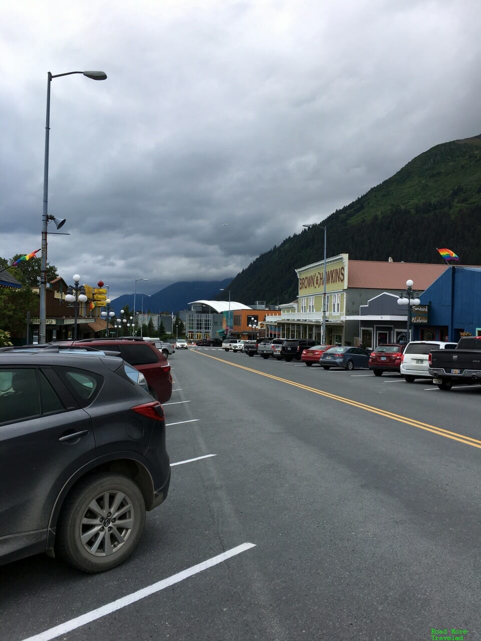
We reached Seward about half an hour later, and grabbed lunch for the adults before heading for the glaciers. Cruisers may recognize Seward as the starting/ending point of longer Alaska cruises. Indeed, the town has a cruise ship town feel, with kitschy gift shops and such. With no cruise ships in summer 2020, though, downtown Seward felt rather empty. Most of the people around looked like day trippers from Anchorage visiting the glaciers.
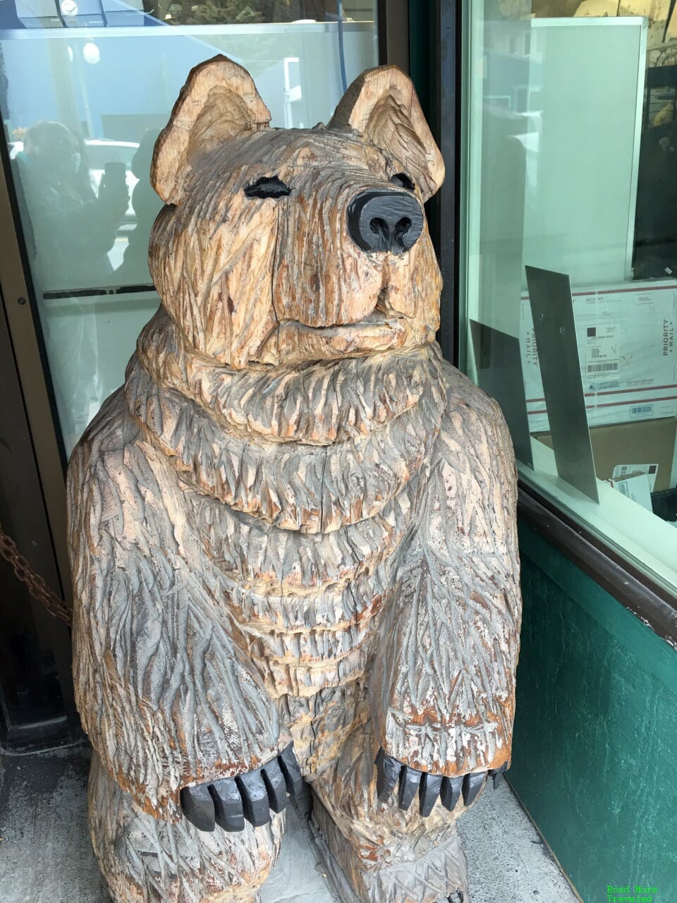
Meanwhile, this lonely grizzly begged for tourists to pose for a photo or two.
After investigating options for a few minutes, we settled on Chattermark Seward to order some lunch. (It now shows temporarily closed – whether a winter closure or a pandemic casualty, I’m not sure.) I ordered a reindeer stew, which hit the spot on a cool, cloudy day. I also ordered a decent burger, which I forgot to take a picture of. We ordered all of our food to go to enjoy in the National Park. Alaska does allow indoor dining, however.
Note that you could also substitute a reindeer patty on any burger. It’s too bad if this placed closed down for good, really.
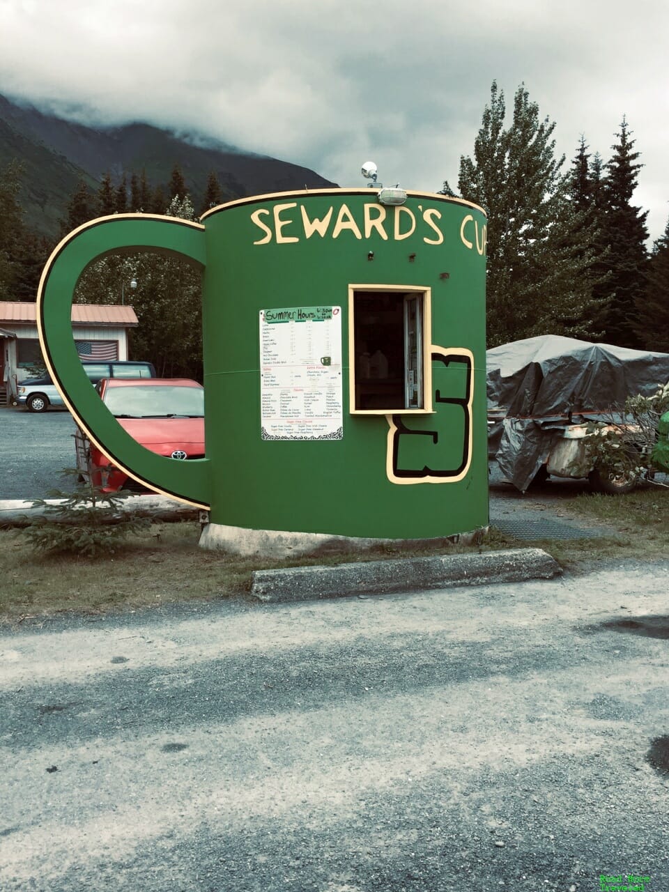
After picking up our food, we headed back north to visit Kenai Fjords National Park. On our way in, I noticed a drive-through coffee place on the side of the road. Of course, I wasn’t going to miss a coffee shop shaped like a giant coffee cup.
I’m not the coffee snob that my friend Matthew is, but I think even he’d approve of the coffee here. It’s pretty good.
Anyway, we then headed up to Kenai Fjords National Park, marking number 35 of 62 off the list. Kenai Fjords extends over an enormous area west and southwest of Seward, but most is accessible only on foot, by boat, or via flightseeing. However, one section, the Exit Glacier Nature Center, is easily accessible by road (summer only). Just head about 12 miles northwest via Seward Highway and Exit Glacier Road. The National Park’s website suggests parking fills up fast, but at 2 pm on a Thursday, we saw very few cars in the lot. I’m sure coming on a Thursday helped, but obviously, the difficulty of visiting Alaska these days cut down on tourists.
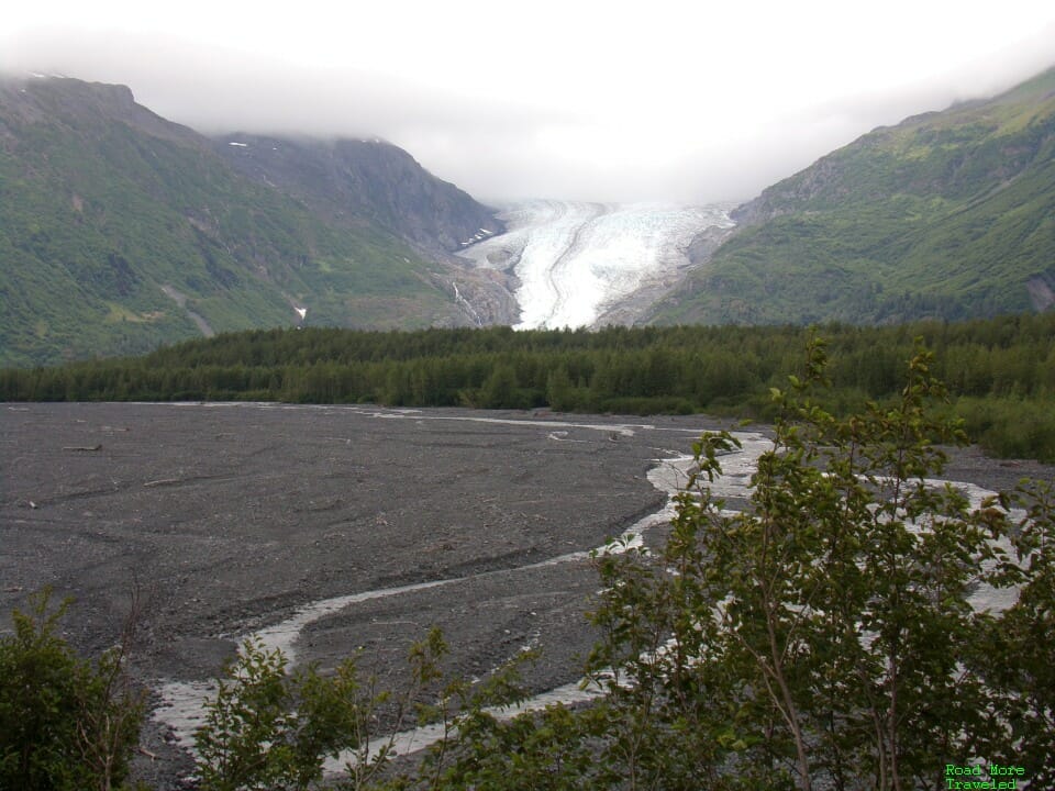
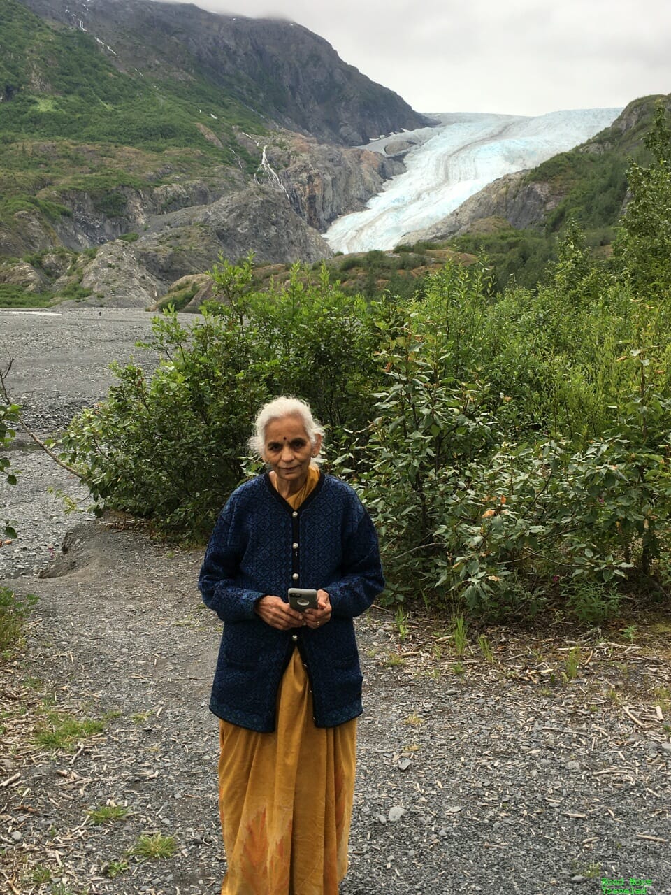
From the visitor center, a one mile loop trail goes through the cottonwood forest to a viewpoint of Exit Glacier. (This trail is wheelchair and stroller accessible.) After polishing off our lunches at the picnic tables, we headed up the trail to check out the ice. Your first view of Exit Glacier comes just a short walk up the trail. The view’s not bad here, though obstructed by a treed ridge ahead.
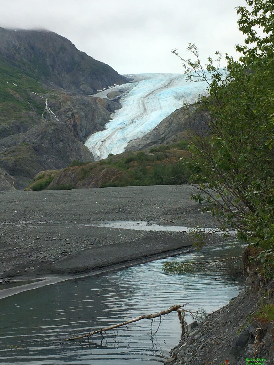
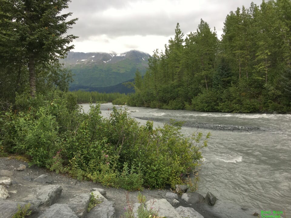
Go just a little farther, though, to enjoy a much better view. The trail first comes alongside Exit Creek, for a nice view of the glacier behind the water.
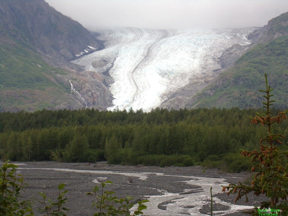
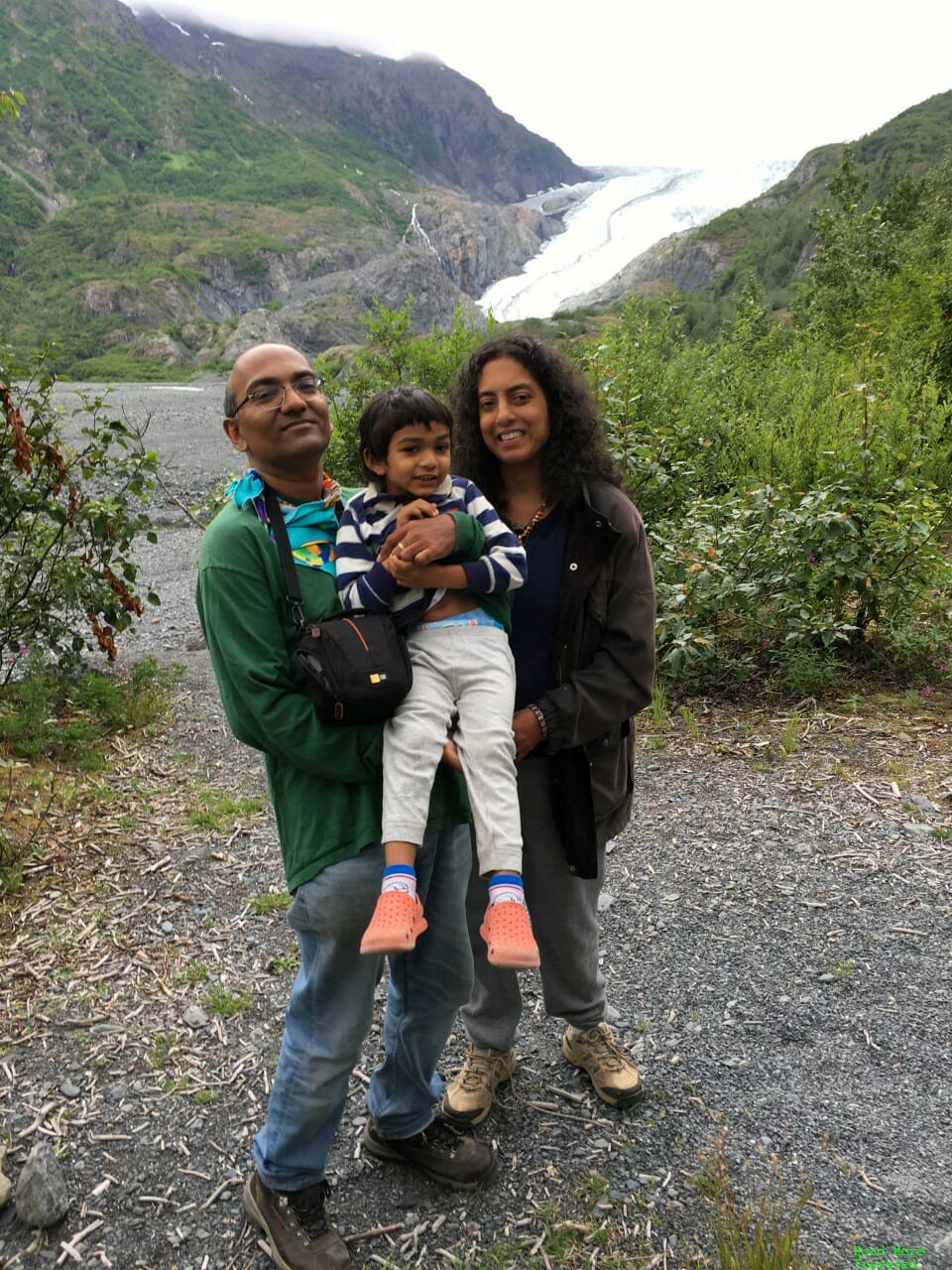
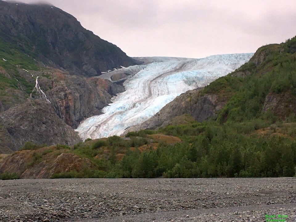
Continue just a little farther, though, for the best “easy” panoramic vista of the glacier. This is the official “Glacier View Overlook” on the park maps. If you’re just looking for a spot to pose for photos, you can do that here.
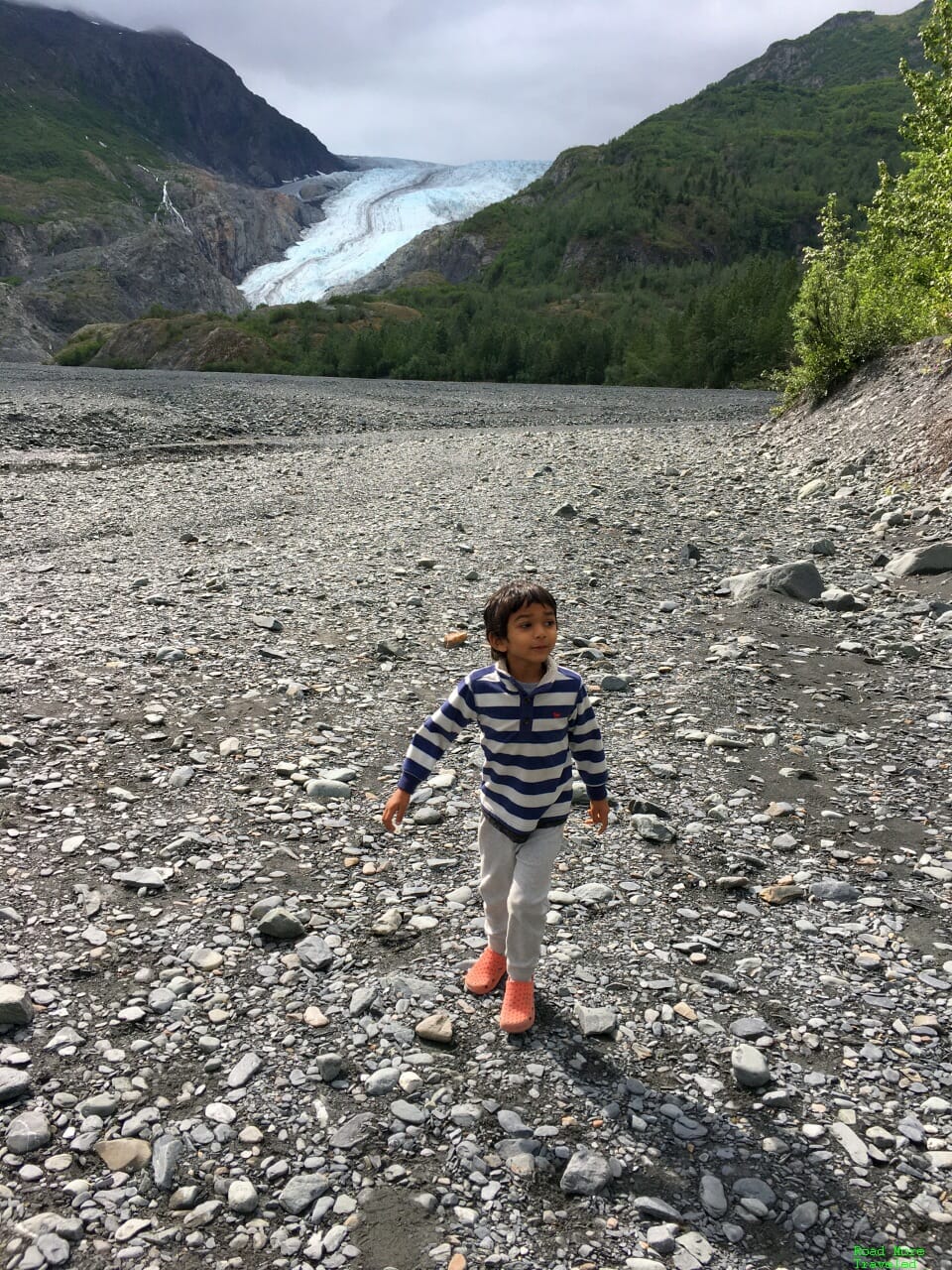
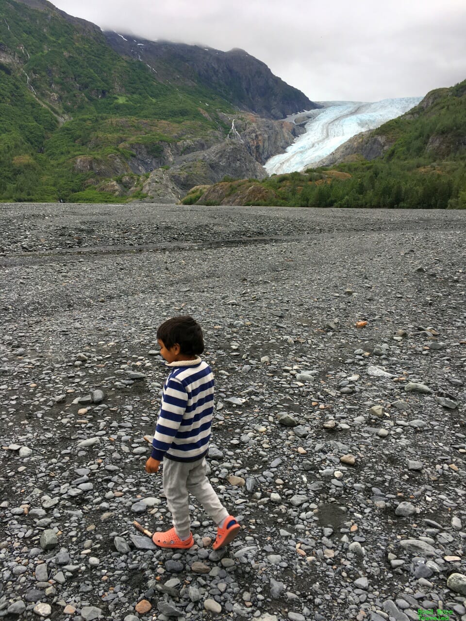
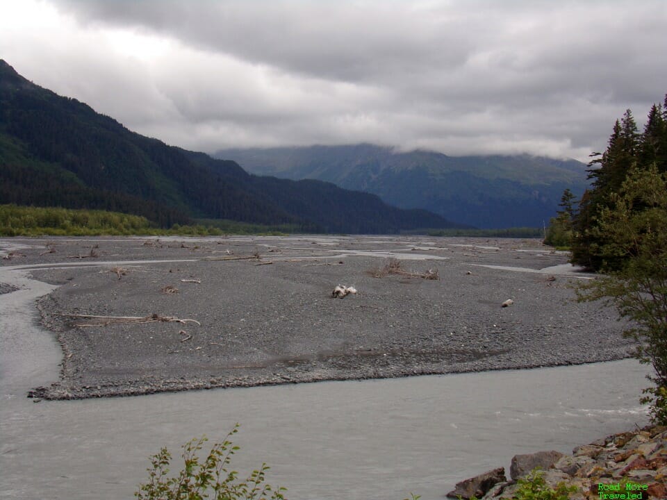
You can also get down on the gravel for a better vantage point of the massive glacier.
My son had fun exploring and walking around on the rocky gravel.
Note that if you have more time (or want more adventure), you can hike across the gravel to the toe of the glacier. It’s about half a mile, give or take. You cannot, however, climb up the glacier from there due to an icefall hazard zone. In addition, depending on recent rainfall, you may need to wade through (cold) water in spots. You can also continue on to the Exit Glacier Overlook, 0.6 miles ahead. This part of the trail gains about 400 feet of elevation, and provides a view of the glacier a little farther up the toe. Most of this trail is NOT suitable for strollers due to areas of deep gravel and steep inclines.
Or, if you have a full day, try the Harding Icefield Trail, 4.1 miles each way. This trail ascends over 3,000 feet, ending literally at the edge of the ice. Yes, you can continue on over the ice, assuming you have the equipment.
Anyway, we headed back the way we came. Along the way, we enjoyed the non-glacial views also on display during the summer.
As for crowds on the trail, we encountered very few people. Again, in a “normal” summer, I’d expect a substantially busier trail.
On the way out, we stopped at one of the overlooks on Exit Glacier Road for one more look at the beautiful park.
As we headed back along the Turnagain Arm later, we found a much different scene at high tide. The mud flats of the morning transformed into a water world. The reason for the dramatically different landscapes? Tide levels in Turnagain Arm vary as much as an astounding 40 feet. That’s the second highest in North America, behind only the Bay of Fundy in Newfoundland.
We arrived back in Anchorage around 6:30, but after putting the kid to bed, I ordered some food from nearby 49th State Brewing. On tonight’s menu, a giant meatball in marinara sauce, onion rings, and a microbrew.
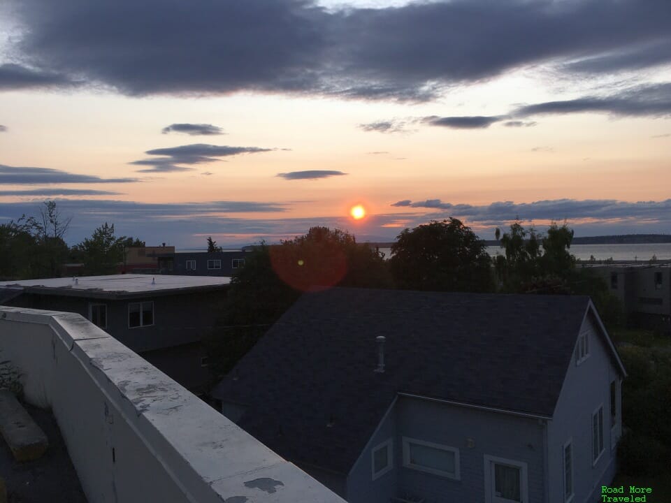
And on the way back from picking up the food, a beautiful Alaska sunset. At 10 pm.
Day 2 of Glacier Hopping in Southern Alaska – Byron Glacier
Friday, July 31, 2020
For day 2, we started of heading in the same general direction to explore Byron Glacier. Byron Glacier is a mile or so from Portage Lake, about 55 miles from Anchorage. To reach the area, head down the Seward Highway (the same route to Seward) to the turnoff for Whittier. This is past the turnoff for the Alyeska ski resort, and about 48 miles from Anchorage. Turn left on this road and proceed 7 more miles directly to Portage Lake. Once you get there, take the right fork and follow the signs to the Byron Glacier Trail parking lot. Take the left fork if you want to go to Whittier and explore Prince William Sound.
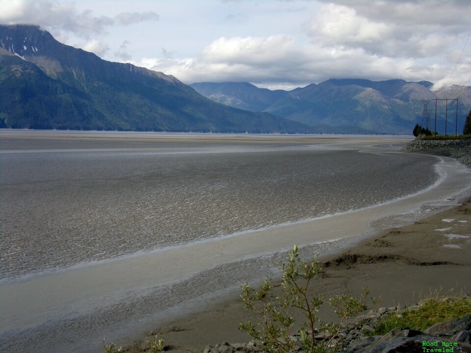
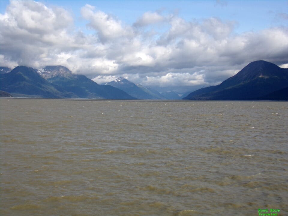
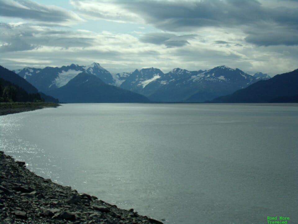
As we headed down the Turnagain Arm, we found a very different scene compared to the previous day. Today’s trip brought us through at a higher water level, and without the distant rain.
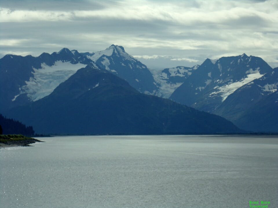
A few miles farther down, fewer clouds gave us a much better view of the glaciers on the other side.
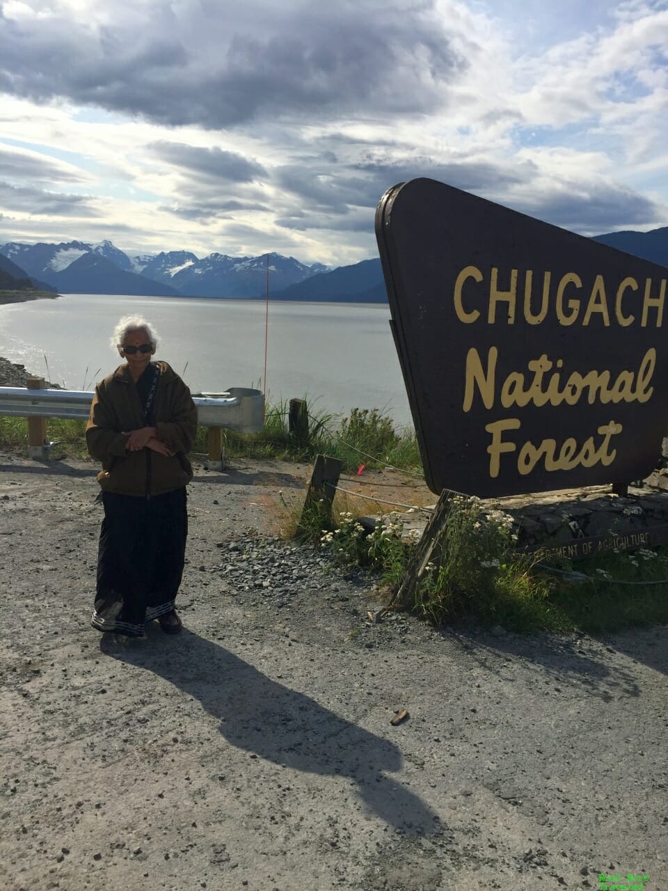
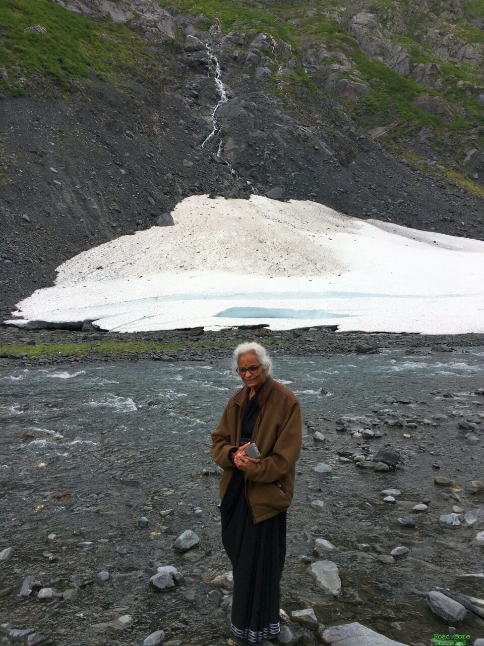
My mother took advantage of the beautiful landscape to pose for a photo.
We picked up some sandwiches at Portage Glacier Cafe, on the shores of Portage Lake, before our hike. If you’re taking a boat tour around Portage Lake, this cafe and gift shop also doubles as the meeting point for those tours. This area also marks the start of the Trail of Blue Ice; it’s a 5-mile hike/bike trail that parallels Portage Glacier Road, with picturesque views of the mountains and glaciers. This is an easy trail if you want to see glaciers from a distance, rather than see one up close.
Anyway, after our picnic lunch, we headed the quarter mile to the start of the Byron Glacier Trail. Even before hitting the trail, the road itself serves up a sneak preview of what’s ahead.
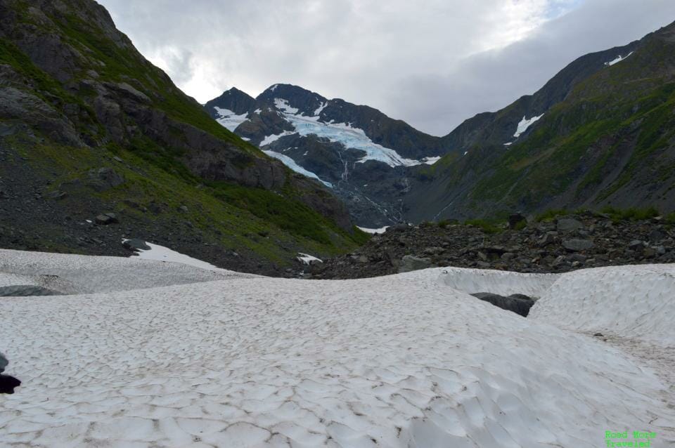
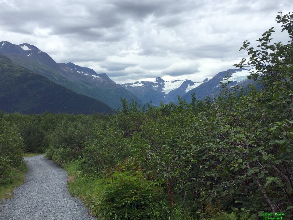
From the parking lot, the first 1 1/4 miles is super easy. The maintained gravel trail features a modest ~200 foot elevation gain; it’s mostly stroller friendly, though there are a few areas of deeper gravel where I had to carry it. As you approach the end of the marked trail, you’ll see a panoramic view of the glacier ahead.
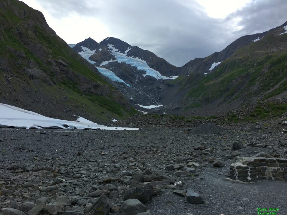
And finally, you reach a couple of benches with the glacier looming ahead.
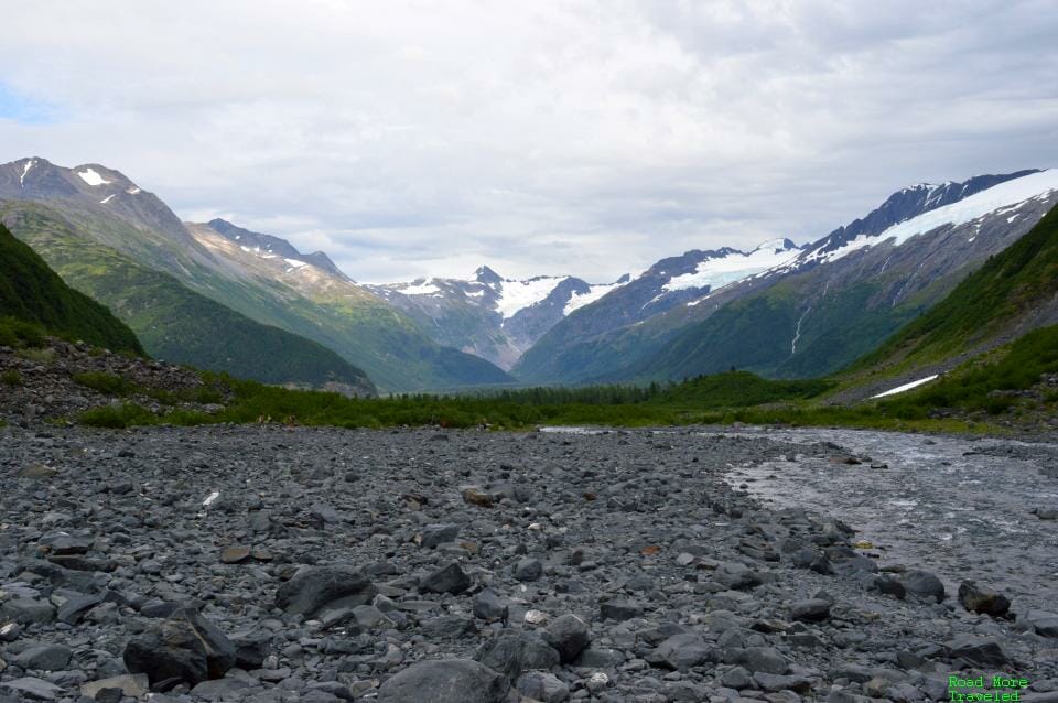
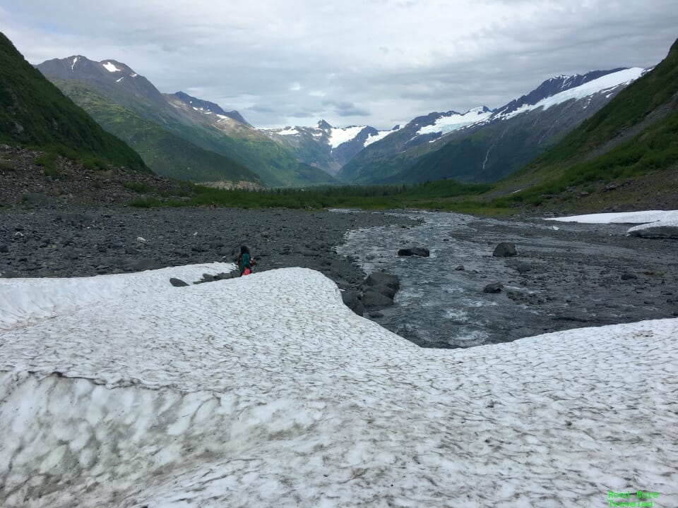
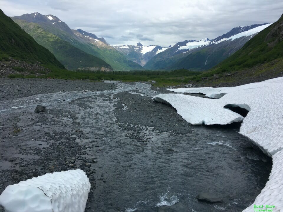
From here, you’ll need to traverse the boulder field to get up close and personal with the glacier. With decent hiking shoes, you can fairly easily reach the patch of snow just ahead. I highly recommend this addition for any skill level. Step just a few feet onto the rocks, and you’ll be treated to a spectacular view of the valley below.
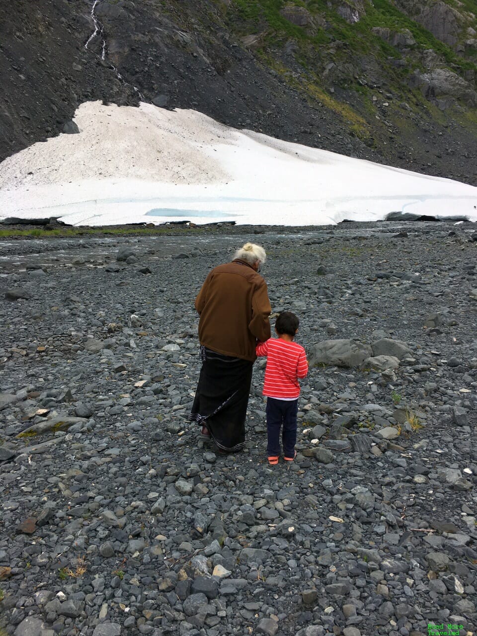
As we approached the snow field, my son enjoyed exploring the area with my mom.
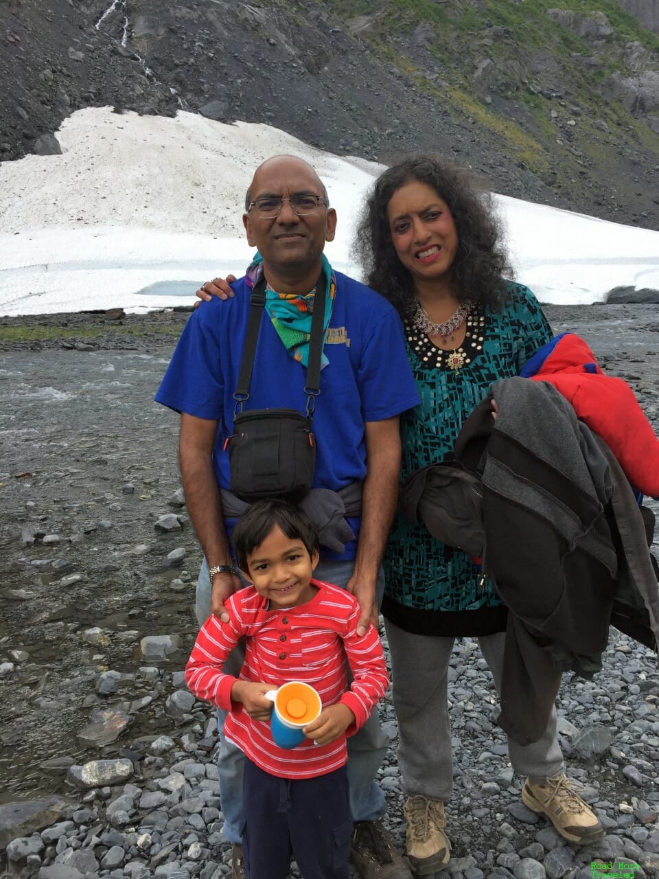
Meanwhile, we took turns taking family photos out on the rocks.
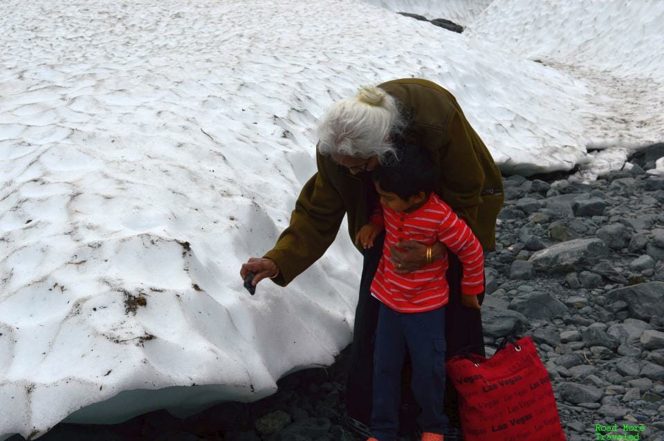
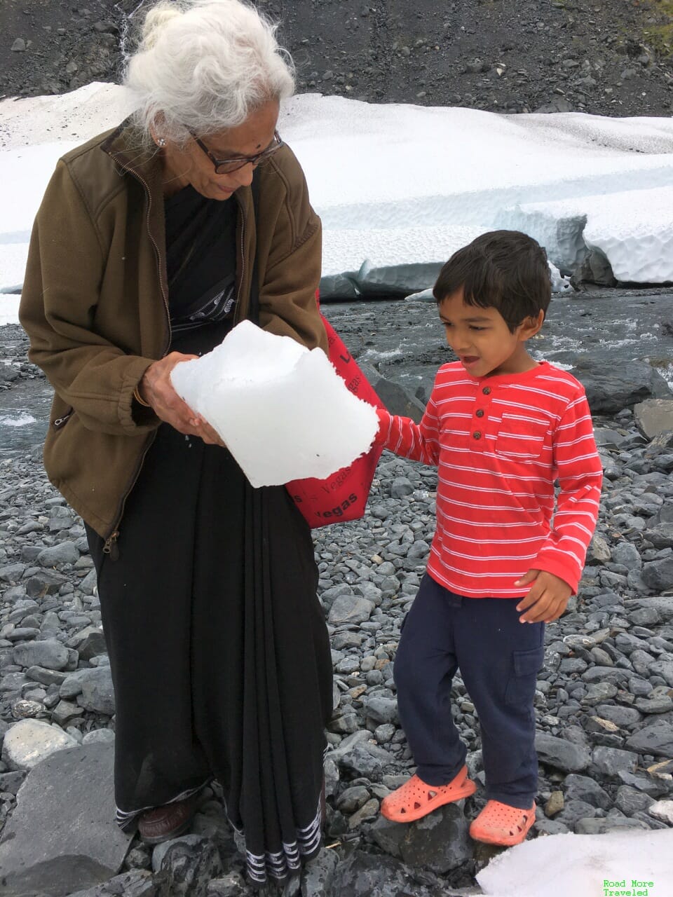
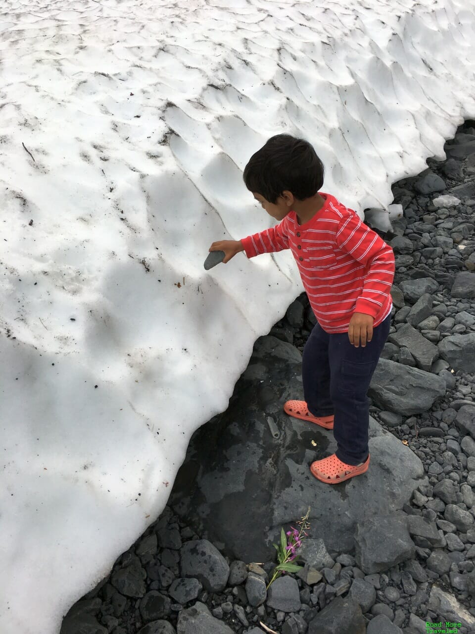
My mother, son, and I then decided to have a little fun on the ice. Since my son was born in August, 2016, we’ve yet to see a snow or ice storm in Dallas. So needless to say, he was kind of excited to see even this pittance of snow. (The second photo captures it best, I think.)
As you scramble up to the top of the snowbank, you enjoy a different perspective of the glacier ahead…
…and the valley below…
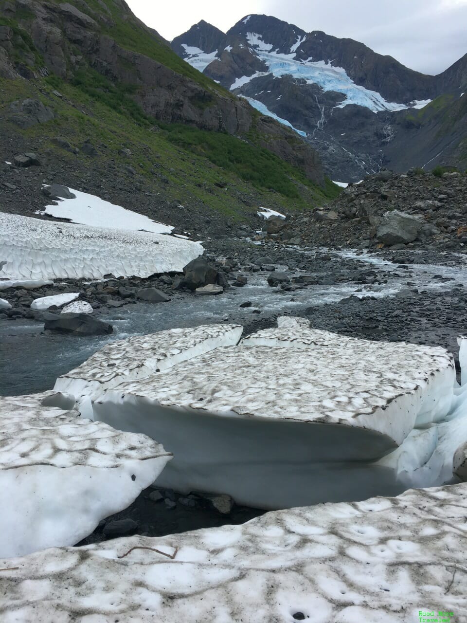
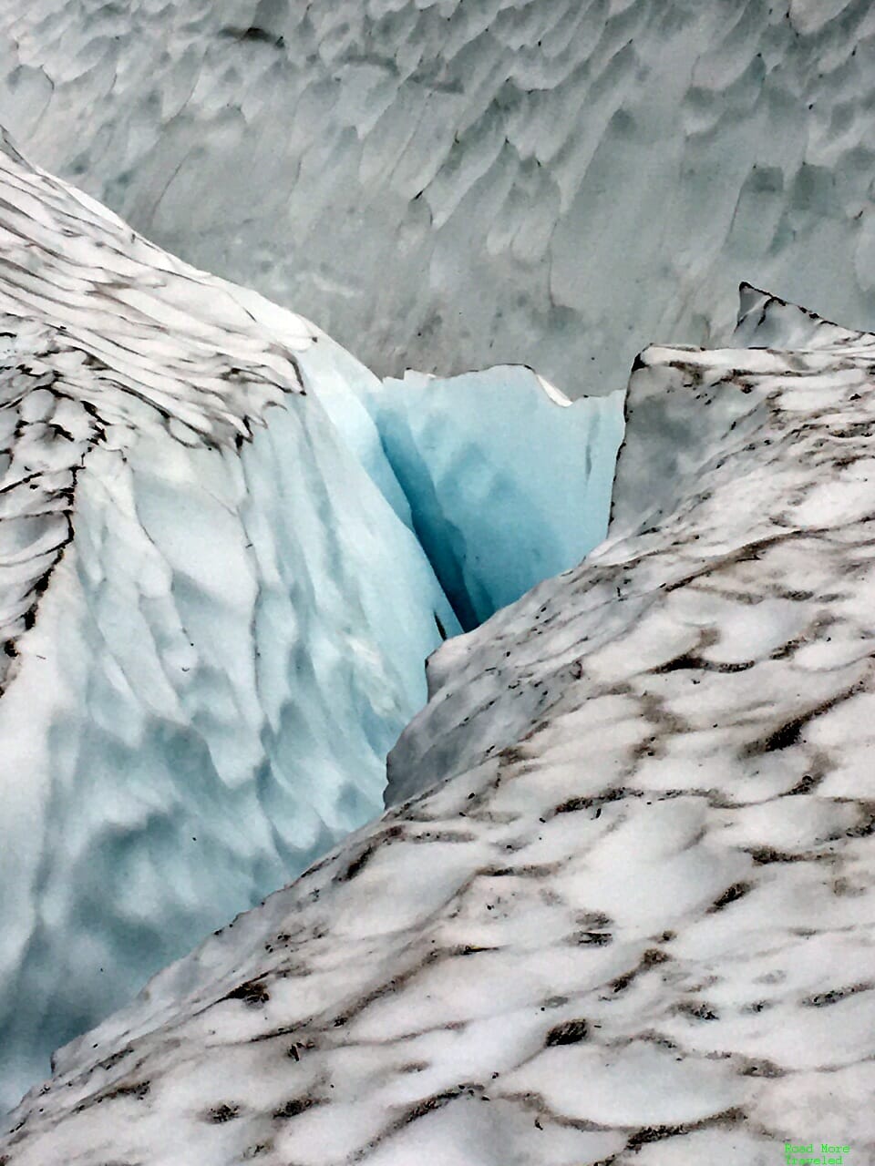
In addition, when you clamber up onto the snow, you’ll see you’re actually standing on an old fragment of the glacier. The deep blue color is the giveaway.
As the above photos show, it’s not that far to the actual current toe of the glacier from here. However, you may have to wade through the (really cold) water a few times. And the boulders get larger and more difficult the closer you get. The reward, though, are ice caves that you can explore. That being said, you really need a helmet to explore the caves, and it’s not exactly a great idea in summer when melting ice can send large boulders and chunks of ice dropping from above. We didn’t want to chance it, especially with a small child in tow.
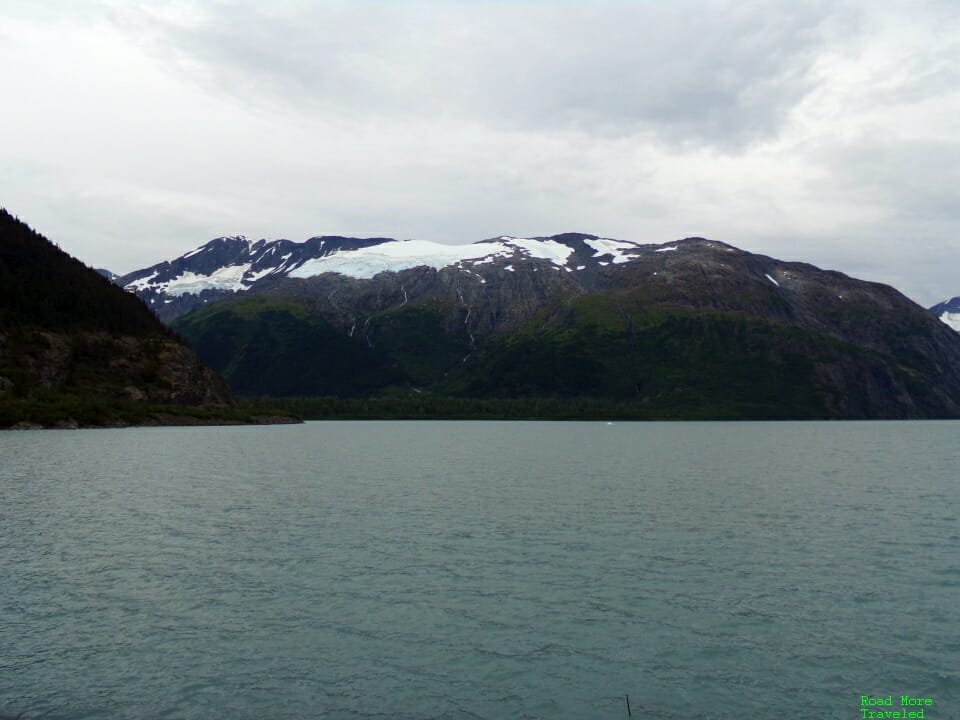
After returning from the snow, we enjoyed a view of the glaciers along Portage Lake as we began the hike back.
This trail was markedly more crowded than the one at Exit Glacier. Undoubtedly, its proximity to Anchorage (compared to Seward) attracts far more visitors from the city. That being said, it’s not like we found the trail overcrowded. Most of the time, the four of us enjoyed the trail in peace. However, like Exit Glacier, I anticipate a much different scenario on a “normal” summer day. As with any trail in Alaska in summer, bring bug spray. While not as bad as what we encountered on our drive up the Dalton Highway, we still had issues with mosquitoes.
Before heading back to Anchorage, we briefly stopped at Portage Lake to take a few photos. I can see why this is a popular spot for boat tours; the sightseeing is quite nice.
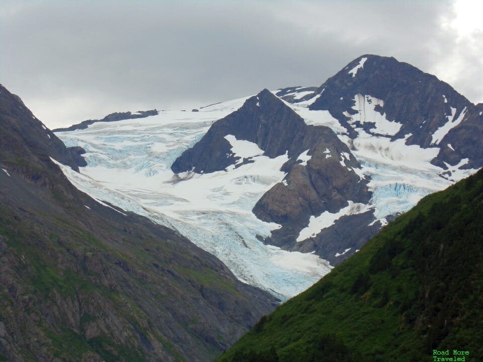
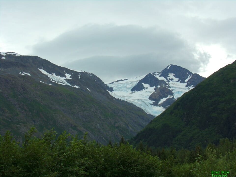
Several glaciers ring the south side of the lake, easily visible even from the parking lot.
I also noticed a lenticular cloud over the higher peaks. Pretty, but a sign of the weather headed our way that night.
The one negative of this day trip awaited us on the way back. We hit a 90+ minute delay along the Seward Highway headed back to Anchorage. An accident just 10 miles from the freeway section in Anchorage shut down the northbound lane. Such is life when headed to towards the Kenai Peninsula. There’s one way in and one way out, and an accident means extensive delays.
Final Thoughts
If you have a couple of days in Anchorage, I highly recommend checking out the glaciers around the city. If you’ve wanted to see one, you have several options for all skill levels within a couple of hours of the city center.


