My annual late fall/early winter trip to Southern California brought us to LAX fairly early on a Friday morning. With the whole day to make it out to the Inland Empire, this road trip fanatic decided to do a bit of exploring before heading over to see the in-laws. The last time I went joyriding, it was on the Angeles Crest Scenic Byway, running through the San Gabriel Mountains from Pasadena to Cajon Pass.
This time, the plan was to check out State Highway 33, also known as the Ventucopa Highway as it winds its way north of Ojai through the Topatopa Mountains of Ventura County, before descending into the Cuyama River valley and the vast Carrizo Plain, before finally ending up in the San Joaquin Valley oil town of Maricopa.
Though not nearly as well known as the Angeles Crest or the Pacific Coast Highway (Highway 1), Highway 33 is regarded by many car and motorcycle enthusiasts as one of North America’s finest roads for a joyride, especially if you have a high performance vehicle. Why? The highway offers a mix of alpine twists and turns, sweeping lower elevation bends, and long straightaways tailor made for speed. And unlike its better known brothers, Highway 33 is practically deserted – the, ahem, road less traveled – allowing roadies to have their fun without interruption.
Car and Driver often tests vehicles here, and car enthusiast website Jalopnik dubbed the stretch “America’s Greatest Driving Road“. That was more than enough to convince me to check it out. As a final, unexpected treat, the Executive Aisle at National’s LAX lot had a solitary red Camaro hidden amongst the SUVs and big sedans that caught my wife’s eagle eye. Cha-ching.
Date of Visit: December 11, 2015
This mini-road trip became a race against the clock of sorts. Our flight was scheduled to arrive at 9:45 A.M., with the forecast of rain and mountain snow increasing by late afternoon. One thing I’ve learned over the years is you NEVER want to be in the mountains in the winter when a storm is approaching, so it was in our best interests to make haste.
Unfortunately, American decided to start boarding our flight from DFW a good 15 minutes early, so when we arrived at the gate from the Admirals Club at the scheduled boarding time of 8:55, they were already halfway through Group 3. That meant – you guessed it – a confiscated carry-on as we tried to board due to lack of overhead bin space. Grrr…the last thing I needed was 20 minutes at the baggage claim. Compounding the problem was a painfully slow shuttle ride to the National lot due to construction on Century Boulevard, then what had to be the slowest moving line ever at the exit gate. It was already approaching 11 by the time we made it out onto the street. Now it was REALLY a race against the clock and the weather.
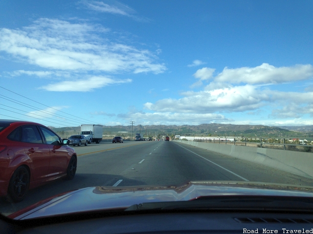
Anyway, traffic actually wasn’t that bad by LA standards, so we made it out of the city pretty quickly. After a quick stop at an In ‘n Out in Oxnard, the original plan was to head straight to Ventura and pick up Highway 33 straight to Ojai, but Google Maps showed a monster traffic jam heading into Ventura due to construction. Double grrr…time to look for an alternative. The only feasible one was to take the back roads up to Santa Paula, then the winding Highway 150 to Ojai. Whether this actually saved time is debatable, but it did provide a sneak peek of what was waiting beyond Ojai.
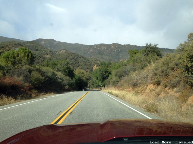
The Ventura County foothills heading north out of Oxnard
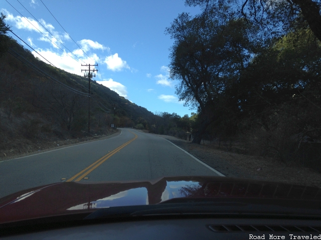
The winding Highway 150 north of Santa Paula
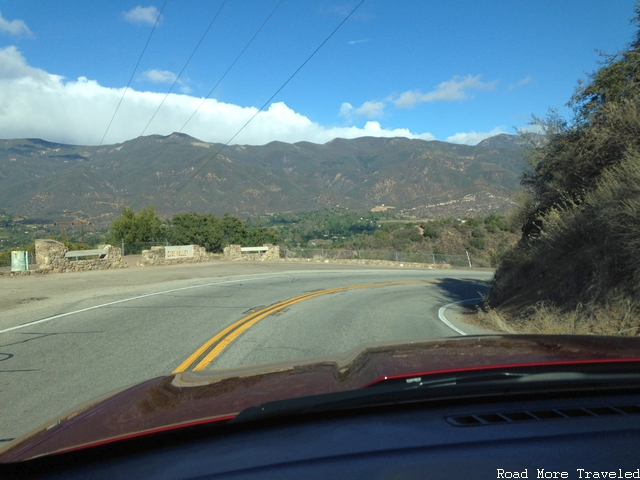
Descending into the Ojai Valley
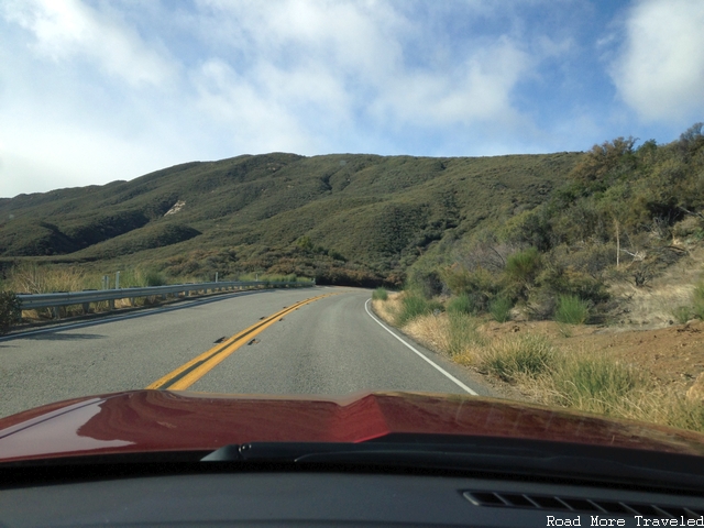
With the weather still holding up, we eased onto Highway 33 and headed north, with the road practically to ourselves (the main reason why the highway is so popular with car enthusiasts). It didn’t take long at all – just a couple of miles – before we encountered the fantastic mountain scenery of the twisty section of the highway. This is a seriously fun stretch of road in a car like the Camaro, even if it was only the V-6 version.
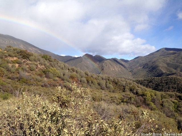
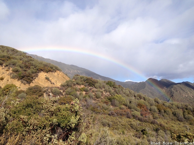
For the next few miles, we encountered a rather bizarre weather pattern, with a light rain falling out of an almost clear blue sky. It wasn’t enough to slow us down much, but created a spectacular sight – a full arch rainbow over the canyon on the right side of the road. Lucky for us, a series of scenic turnouts made a timely appearance, allowing me to photograph it from a couple of different vantage points.
Partially obscured at first
But now in full view a little farther down the road
Finally fading, but still visible
I have to say, the rainbow made the hassles of the morning totally worth it in the end…
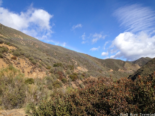
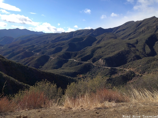
Climbing past 3,000 feet, the rain stopped, and at about the 13 mile point out of Ojai, the road encounters a sharp switchback, with a terrific view of the road snaking up the ridge on the right-hand side. This gives you an idea of just how twisty this part of the road is.
As you can also see, the vegetation is considerably greener up here. That’s thanks to cooler temperatures and more rainfall than down in the Ojai Valley. This stretch of road also illustrates why the highway is a test of a driver’s attentiveness and skill. You’ll see a fleeting stretch of road that appears to straighten out, tempting you to gun it. But just as you reach for the accelerator, another sharp curve comes into view.
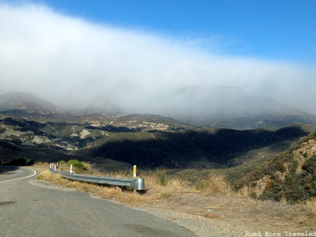
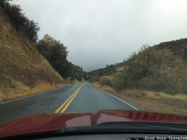
Alas, our luck began to run out a couple of miles further down the road. The sky began to take on an ominous look, with the clouds thickening and covering the mountains ahead. And the rain began once again, this time a little steadier. And the thermometer on the dash started dropping steadily into the low 40s. We decided to soldier on, but started keeping a real close eye out for snow in the hills. On the flip side, the clouds and rain against the mountains made for some great scenery.
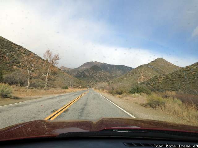
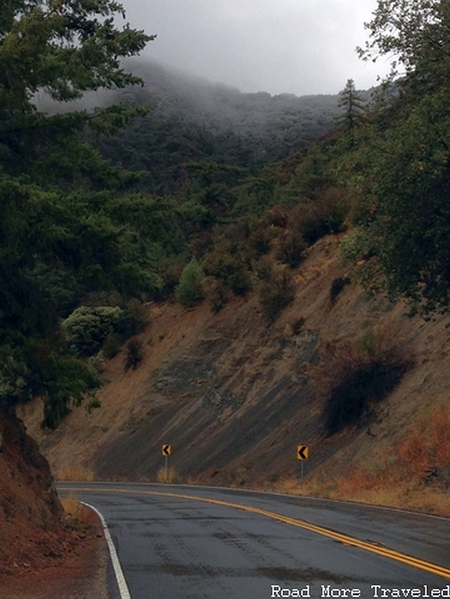
The next 12 miles or so feature a gradual elevation increase from roughly 3,300 feet to 4,200 feet. Alternating sections of sharp, twisty bends and brief straightaways keep your attention glued to the road. Meanwhile, the sky grew increasingly ominous. Though the temperature had now dropped into the 30s, there was still no sign of white anywhere around. Finally, about 27 miles out of Ojai, the road’s last sharp climb begins, taking you from 4,200 feet to a little over 5,100 feet in the span of 4 miles. This is probably the most challenging stretch of the highway, made even more so thanks to the rain. You can also see subtle changes in the mountain vegetation, with fir and pine trees becoming more predominant. It gives the landscape an alpine feel.
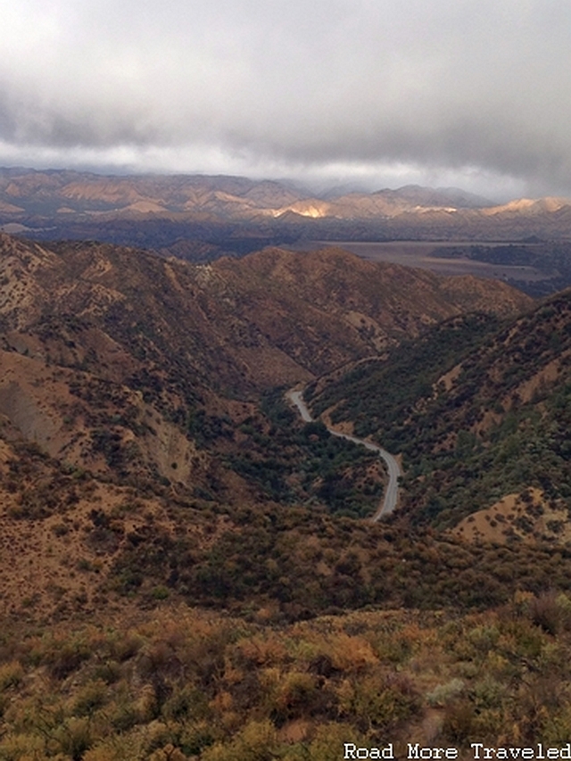
Not long after this spot, snow began appearing on the trees and the side of the road. Fortunately, a sign marking the road’s high point followed almost immediately, and we started our descent. Whew. Shortly past the summit, about 32 miles out of Ojai, you’ll find a large overlook to the left. This provides a spectacular view of the north slope of the mountains, the road quickly descending the north side of the ridge, and the beginning of the Cuyama River valley in the top right. You’ll also notice how the north slope, the leeward side of the mountains, is considerably drier than the south slope.
A look ahead also showed a bit of snow accumulating in the peaks. Not exactly something you expect to find while road tripping in Southern California.
The road quickly descends to 3,600 feet over the next 5 miles into the headwaters of the Cuyama River. Here, the highway intersects with Lockwood Valley Road, another scenic route. This one takes you back to the 5 Freeway at Frazier Park, just below the top of the Grapevine. But the road also climbs above 6,000 feet at one point. With the snow level hovering around 5,000 feet, that was no longer an option. I’m not real comfortable driving in snow to begin with, even less so in a rented sports car. So we ‘d have to take the long way around.
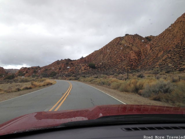
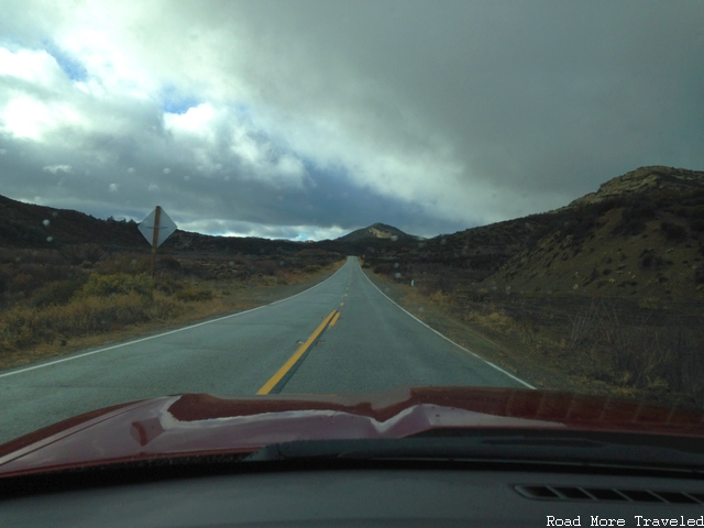
The rain really began to pick up here as well, though occasional breaks allowed us to enjoy some scenery. The next 9 miles feature an interesting mix of long straight sections seemingly randomly interspersed with tight bends as the road would occasionally hug the side of a hill. The landscape is more of a high desert here, like the Antelope Valley or the area around Joshua Tree; much different from the alpine forests and meadows we had just left a few miles back.
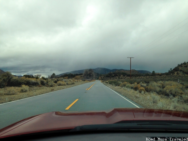
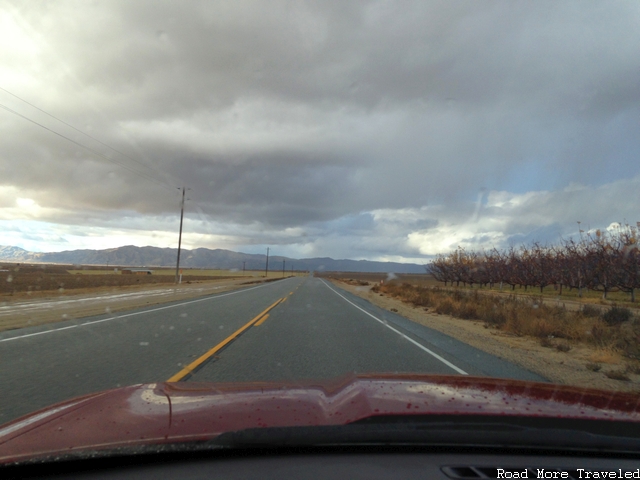
The last 11 miles bring something new again – the long, flat straightaways of the Carrizo Plain, in Santa Barbara County. If the first 45 miles of this journey test your car’s handling prowess, this final stretch gives you a chance to stretch your engine’s legs. Just make sure you have a good radar detector. Though I had the perfect car to have some fun out here, the rain and wet roads nixed that possibility. Much to the relief of my wife I’m sure. This is what you might call “old California”, a dry, irrigated valley full of orchards and surrounded by gorgeous mountains. And as you can so, not very many people.
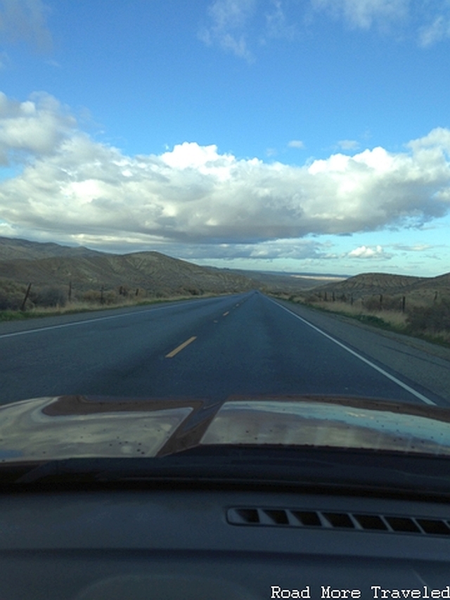
Now 57 miles from Ojai, Highway 33 meets Highway 166. A left turn takes you to Santa Maria, and a land of adventure on the Central California coast. A right takes you back over the mountains, into the San Joaquin Valley, and then to Bakersfield or LA. While I would have loved to take a left and explore another pretty back road, time was a wasting. So, we turned right to head back to civilization. The first 14 miles are actually quite scenic, as the road briefly heads back up into the hills before descending quickly to the town of Maricopa, in the Central Valley’s oil country. Due to sun glare, this was the best shot I could get of the descent into the Valley.
And so on the other side, we magically transported ourselves into Central California, if only for a short while. And it WAS a short while, with just 23 more miles the 5 Freeway, and a quick climb out of the Central Valley up the famous Grapevine. The 5 is most definitely NOT a road less traveled, though the trip up Grapevine Grade is a nice ride. It whisks you from 800 feet to Tejon Pass at 4,100 feet in just 14 miles. The last 2,600 feet of that climb takes just 8 miles. Approaching the top of the Grapevine, the snow makes another reappearance in the hills. That made me glad I didn’t try to take the road via Lockwood Valley and Frazier Park. Oh, and how’s this for cool – from SoCal to Central California and back to SoCal in the span of 45 minutes.
Now headed down, the storm system finally dissipated, leaving just some interesting cloud formations among the golden hills.
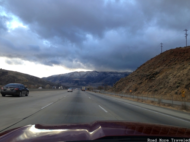
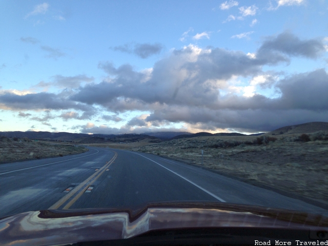
We could have followed the freeway all the way back to LA, but with the clock now at a few minutes past 4:00, this would have entailed dealing with either the 10 or 210 freeways the entire length of the LA Basin and then the Inland Empire at rush hour. Yeah, no thanks, so we got off at Highway 138 and went through the Antelope Valley instead. It was starting to get dark, but I was able to get one last photo before sunset. The first half of the road, up to Lancaster, is actually quite nice. You pass through the high desert with fine views of the surrounding mountains on both sides.
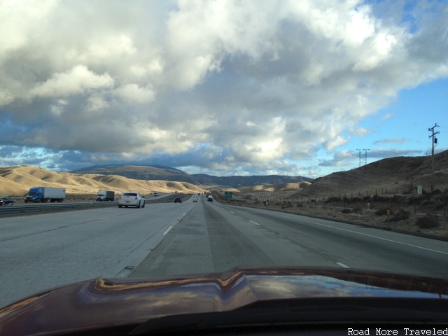
The second half, from Palmdale to Cajon Pass? Not so much. The scenery is the same, but there is a ton of traffic. And there’s construction most of the way. Not a very fun drive, especially in the dark.
If you’d like to re-create our day trip, here’s the complete map:
The entire trip from LAX to San Bernardino took approximately 7 hours. That included a stop for lunch and numerous photo stops along Highway 33. The “core” part of this trip, from LAX to the top of the Grapevine, took approximately 5 hours. Using Lockwood Valley Road instead of continuing via Maricopa, probably cuts 30-45 minutes. It’s a drive definitely best done on a weekend, lest you find yourself back in LA at the teeth of rush hour. Something that will assuredly have you wishing for the road less traveled yet again…


