We arrived in Los Angeles in Virgin America’s stylish First Class late on a Thursday, set to spend a few days in the area for my brother-in-law’s wedding and to visit friends before beginning the real fun on Sunday evening. That would involve a 7 day road trip up the length of the California coast, then back to San Francisco. All told, this would entail more than 1,400 miles of driving, much of it on winding coastal and mountain highways. My kind of vacation, in other words. This is a picture-heavy post that covers our drive up the coast, primarily an early diversion down Highway 1 from Santa Monica to Oxnard before the wedding, then after the wedding, Highway 101 from downtown L.A. to San Luis Obispo, Highway 1 again past Monterrey, and then mostly Highway 101 to Crescent City near the Oregon border.
Naturally, since we were flying, this necessitated a rental car, and for this trip, we chose National. One, National was one of only a few agencies that would price a LAX-SFO one-way without a drop-off fee. The rate, roughly $400 all-in for a 10-day rentalm was pretty reasonable. More than that, though, we needed a large car. Full-size cars and larger SUVs can get expensive, but with Executive Aisle privileges at National, I could book a mid-size and then pick any car in the Executive area. Yes, that’s taking a chance to some degree, but in my experience, there’s usually a sufficient selection of larger vehicles due to the affordable auto shipping rates and their volume of available cars to move around. And sure enough, the Aisle didn’t disappoint, with many SUVs with a third row of seats to choose from. Mom picked out a silver Nissan Pathfinder that still had the new car smell, and we were on our way to our suites near anaheim convention center. The designated driver should also be physically ready for the long drive to avoid accidents and avoid sustaining an injury. In case you get involved in a car accident while on vacation, hiring an automobile accident lawyer or a personal injury attorney may be necessary to ensure that your rights and interests are protected.
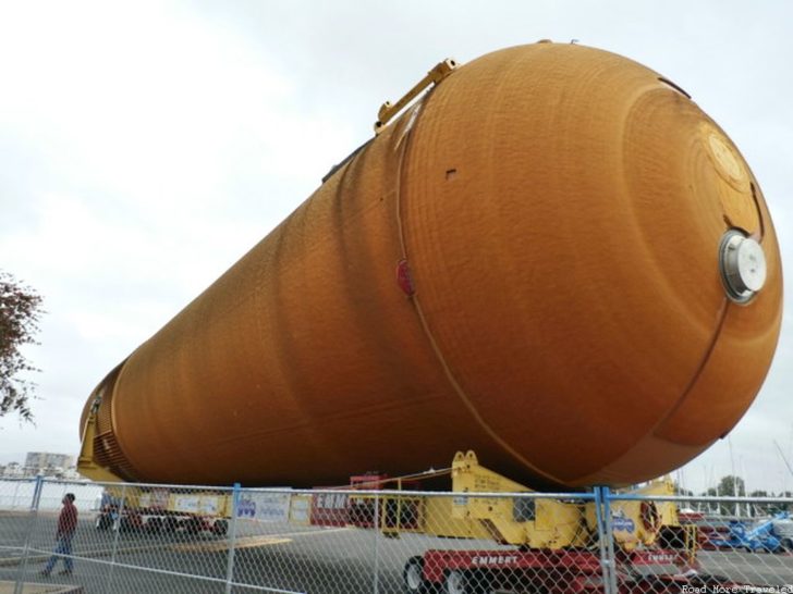
Anyway, we had pretty much the entire day Friday at our disposal. After a leisurely breakfast at our hotel, we took a quick drive up the coast to pass some time. We spent the night in Marina del Rey, and the hotel clerk told us that the space shuttle Endeavor’s fuel tank was being stored nearby, until it would be transported to the California Science Center later that night. So before heading out, we drove around to check it out. And boy, is that thing HUGE…
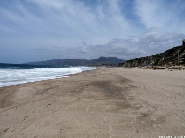
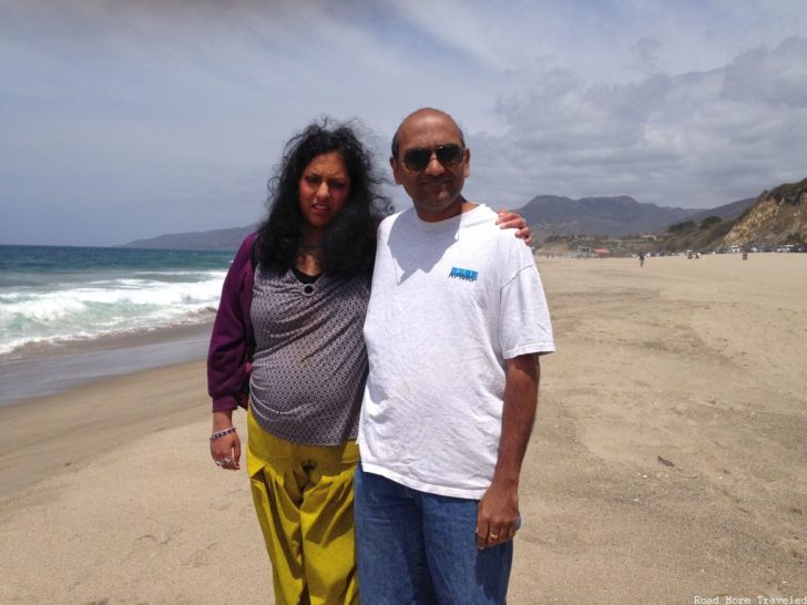
Afterwards, we headed up Highway 1 (the Pacific Coast Highway) through Santa Monica and Malibu, all the way to Oxnard. Part of this was to take a dry run from Santa Monica to the dinner location in Malibu to see how long it would take. The restaurant itself is adjacent to Point Dume State Beach. Some perfect Southern California weather made for a postcard-worthy scene along the beach, especially if one is looking for things to do in Long Beach. One thing you’ll probably note in these photos, we were incredibly lucky with regards to the weather. Fog was minimal, and temperatures were pleasantly cool, even inland, until the very last day of our trip.
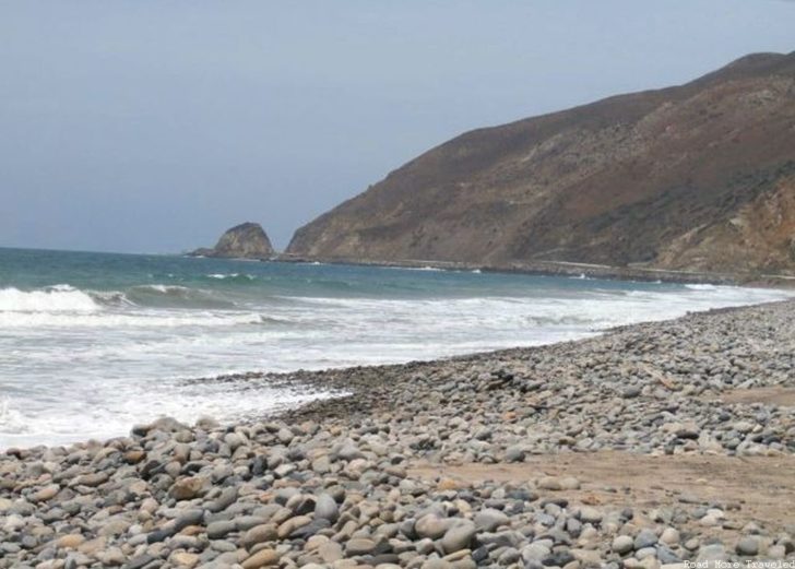
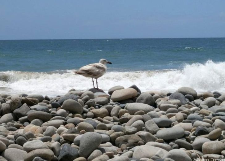
Most of the PCH between Santa Monica and Oxnard is an urban highway, but for a brief stretch just past the Ventura County line, you get a flavor of the more typical winding sections of highway that most people associate with Highway 1. Just as this stretch begins, you can stretch your legs on a rocky stretch of beach at Point Mugu. The rocky, craggy coastline stretches off in the distance.
Oh, and the birds like the view, too. Enjoy a scenic view staying in this boutique hotel in laguna beach.
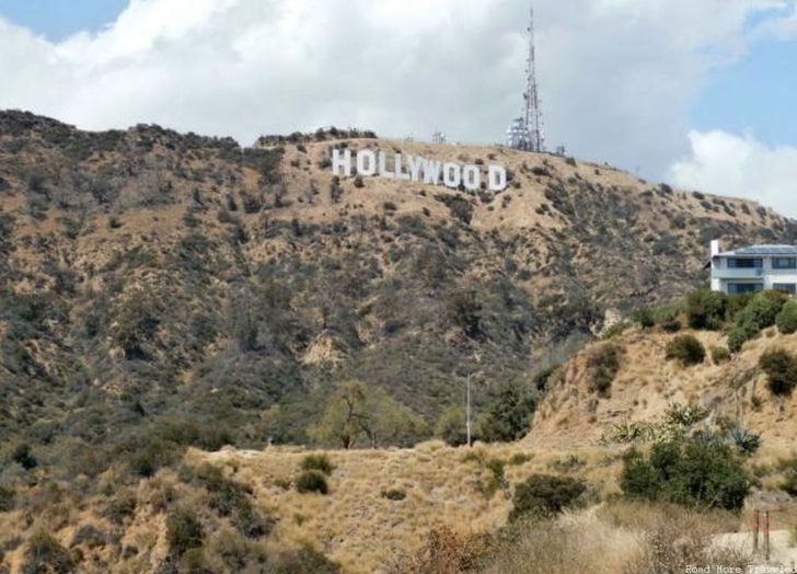
Saturday was wedding day, but with the festivities not starting until 5:30, we again had all day to look around. My wife’s cousin, visiting from India, really wanted to see the Hollywood sign. So we obliged him with a drive up to Lake Hollywood Park.
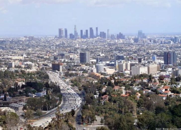
On the way back, we bypassed the gridlocked freeways (yes, even on Saturday), in favor of Mulholland Drive. We made a quick stop at Cahuenga Pass for possibly the famous view of downtown at the Hollywood Bowl overlook.
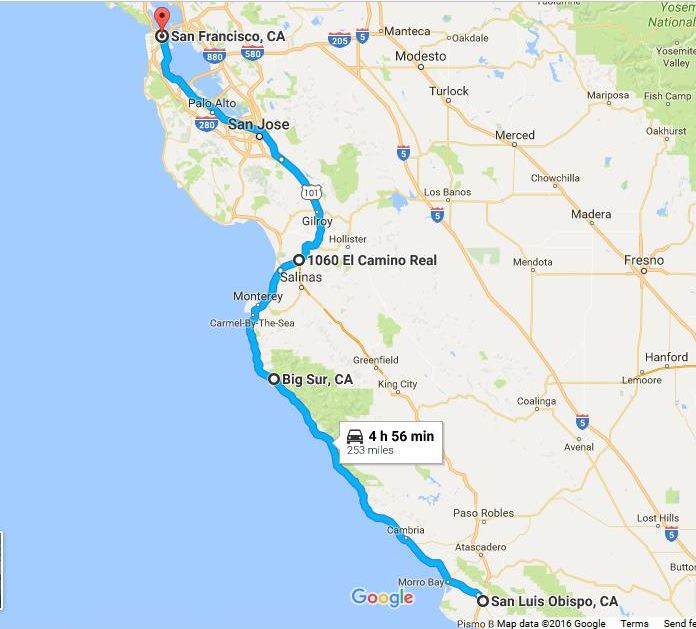
Our honest-to-goodness roadtrip started Sunday evening after bidding farewell to friends and family. Though the real sightseeing wouldn’t begin until Monday, we wanted to get a few hours’ head start to avoid Monday morning rush hour traffic. We headed up the 101 about 180 miles past downtown L.A., ending our day near Pismo Beach. The freeway is pretty unspectacular and often traffic-choked as far as Ventura. Beyond that, the route actually turns quite scenic, as it first hugs the coastline to Gaviota. Then, it turns north through golden canyons past Santa Maria up to San Luis Obispo. This is where the fun really starts, as you exit the freeway and pick up Highway 1 again. If you’ve never taken the scenic route to San Fran, here’s what our itinerary looked like.
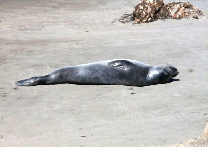
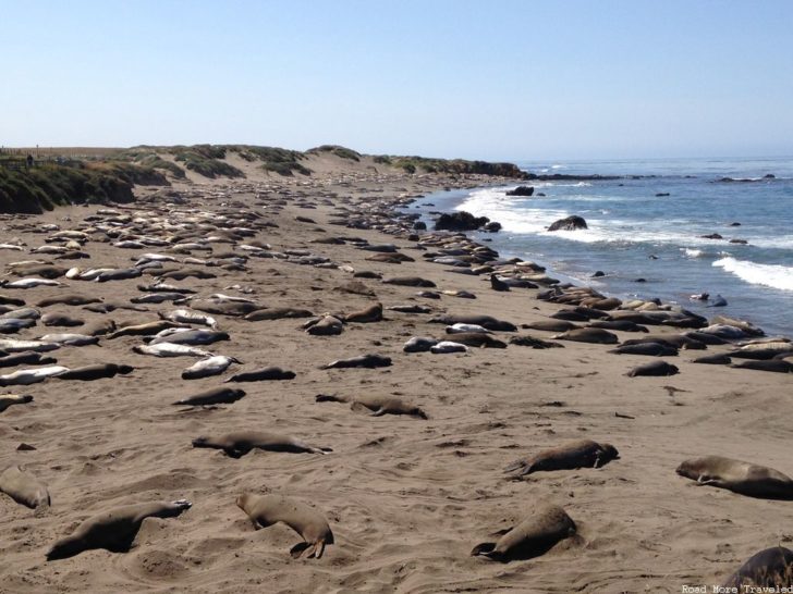
The first 45 miles or so past San Luis Obispo is a fairly calm and serene road. Hearst Castle in San Simeon is a must-see that I’ve been wanting to stop at for years, but we didn’t have time. Just past San Simeon, but before you hit the twisties, is something well worth stopping for – the Piedras Blancas Elephant Seal Vista Point. This is a colony of hundreds of elephant seals. If you come at the right time, you can find them lazily sunning themselves on the beach.
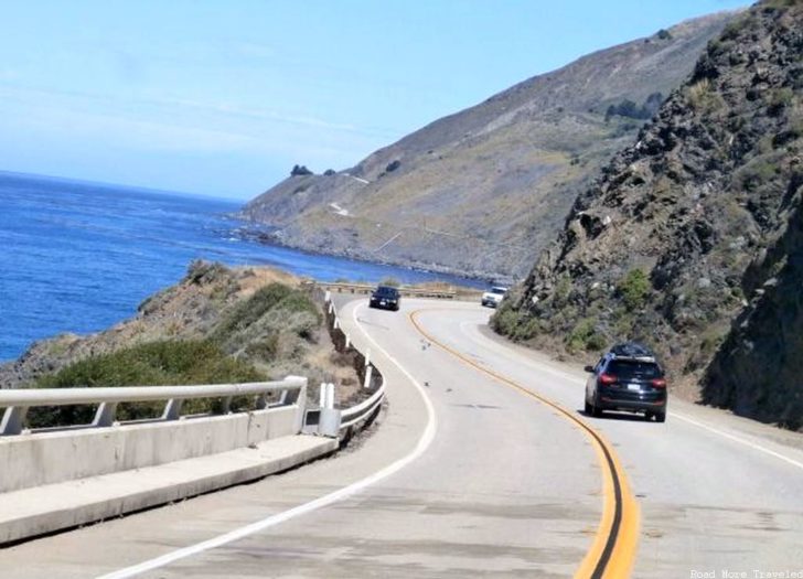
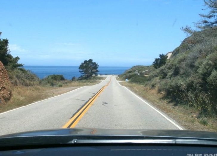
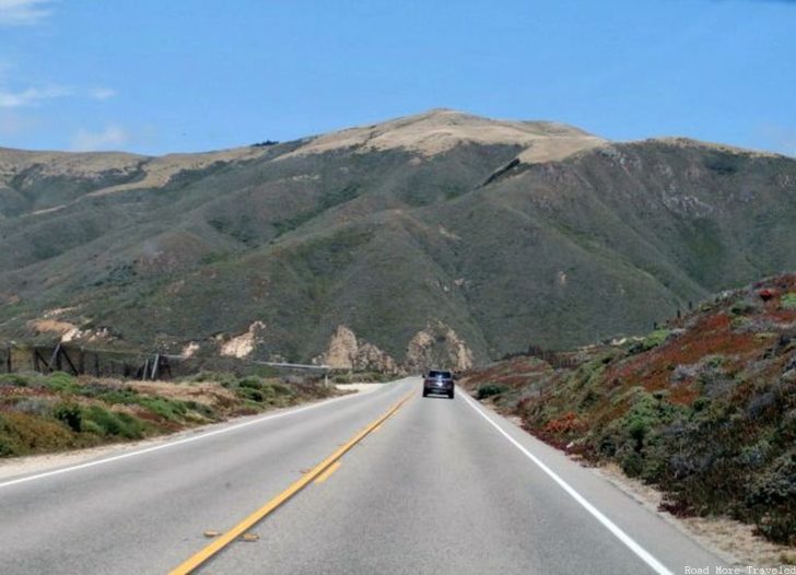
Just past the elephant seal vista is where the twists and turns begin in earnest, all the way to Carmel. Cliffs and mountains on one side, Pacific Ocean on the other, with a road that hugs the natural contours of the coastline. What more could a driving enthusiast ask for?
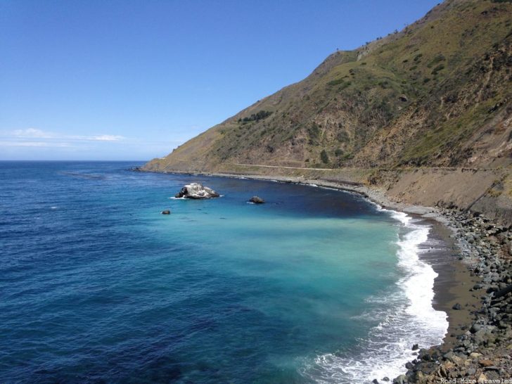
There are, of course, several vista points providing amazing ocean views like this one.
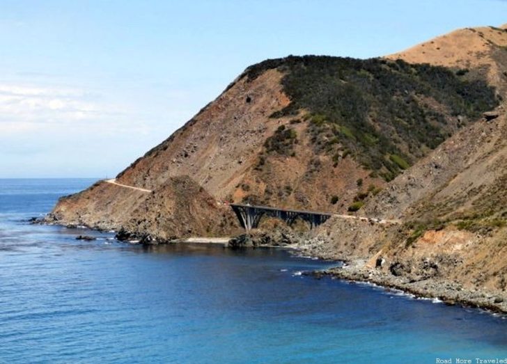
But for die hard road geeks, an absolute must-see along this stretch are the few remaining original arch bridges. Several concrete arch bridges were constructed when the highway was built between roughly 1919 and 1937. However, only three remain in use today, all clustered near Big Sur. You’ll find the first a few miles south of Big Sur, along a particularly winding section of highway. This distant shot is about the best you can get of the bridge. Of course, the bridge probably isn’t going to be what your eyes fixate on at this spot…
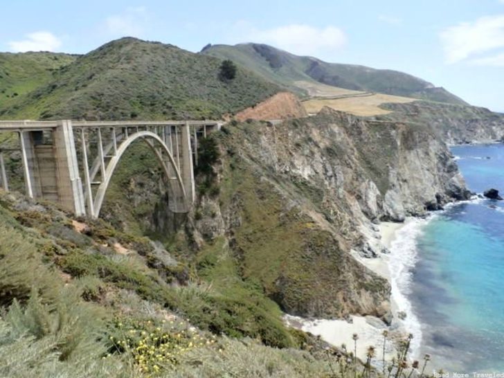
By far the most famous bridge along this stretch occurs a few miles north of Big Sur, the iconic Bixby Creek Bridge. If you’ve seen old postcards of the PCH, you’ve no doubt seen a picture of this bridge.
It’s not all that far distance wise from SLO to Big Sur – only about 110 miles. But when you’re stopping every 15 minutes for photos and minding the curves, you burn up a lot of time. We needed to boogie from there to make it to my cousin’s house in the East Bay before we hit the teeth of Bay Area rush hour. So that was it for Monday.
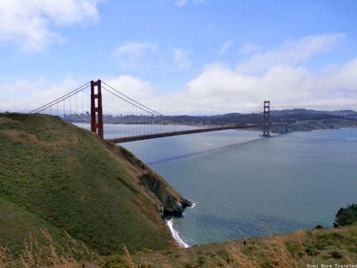
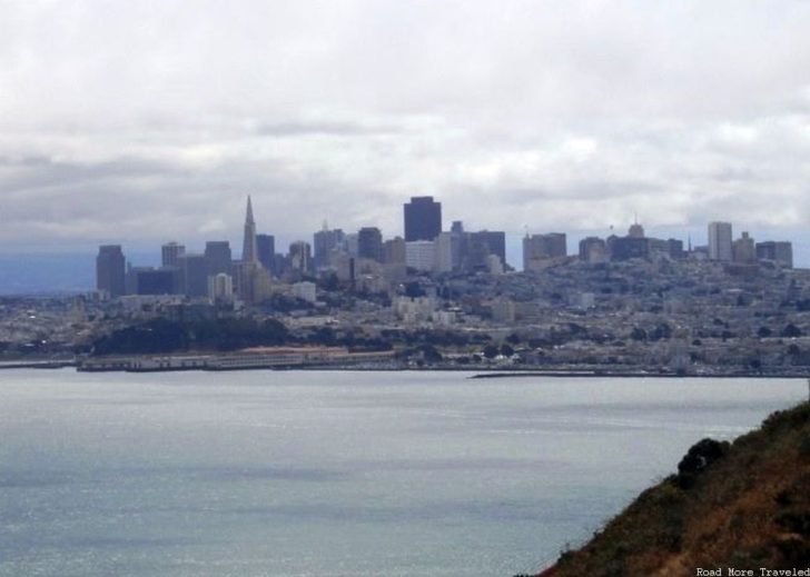
Tuesday was a rest day with family, though my cousin did oblige my request to head to the Marin Headlands. What’s there? A view of the Golden Gate Bridge and San Francisco. I’ve been to SF several times, but this was my first time seeing the city from the north. It’s quite an incredible view, especially when it’s a relatively clear day.
After getting a head start Tuesday evening, we continued our trip north on Wednesday to experience the coastal redwood forests of far northern California. Our destination were the various state and national parks in the area. While most associate these parks with the giant trees, they also feature some fantastic stretches of coastline. I’ll be covering the coastal portion of our trip in this post; the redwoods will follow next week.
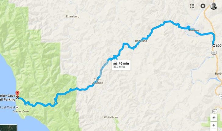
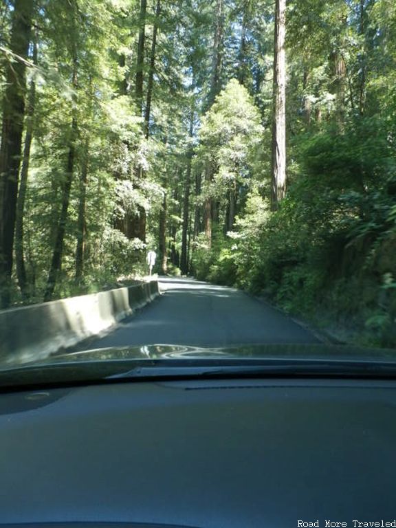
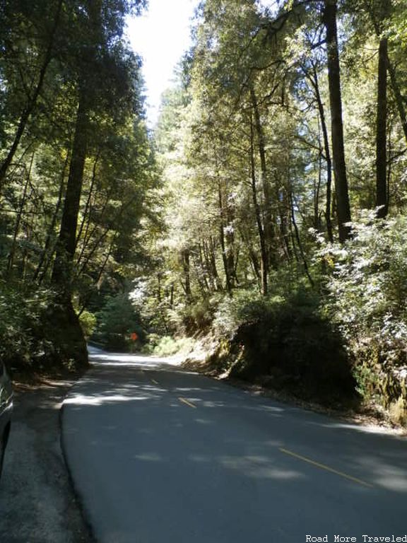
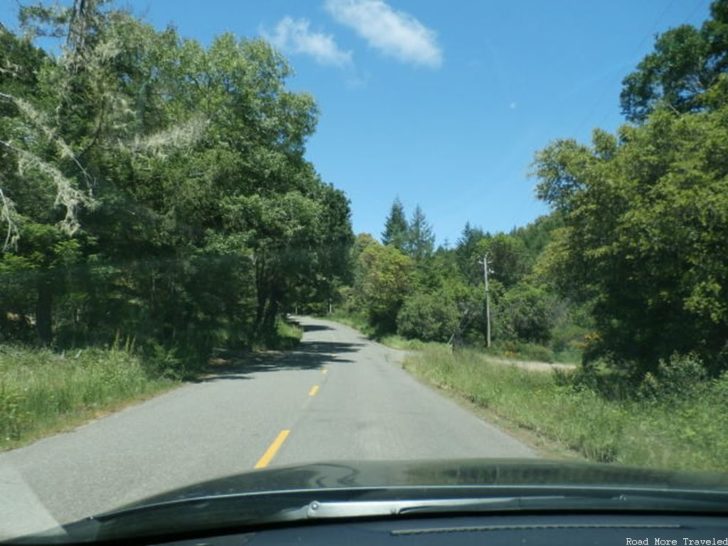
We took the 101 north out of SF, traveling through the heart of Sonoma and Mendocino wine country, until reaching the coast again near Eureka. You can follow the PCH instead from Sausalito until it ends at the 101 in Leggett. With the main goal of this trip being the redwoods, though, we decided to skip that portion. There is, however, a detour you can follow off the main highway in the town of Redway. This road leads to Shelter Cove, in an area known as the “Lost Coast” due to its inaccessibility. It’s only 24 miles from the freeway to Shelter Cove. The route, though, involves 45 minutes of white-knuckle driving on narrow, winding roads through giant trees and steep hills. It’s gorgeous, though challenging in a vehicle as large as the Pathfinder.
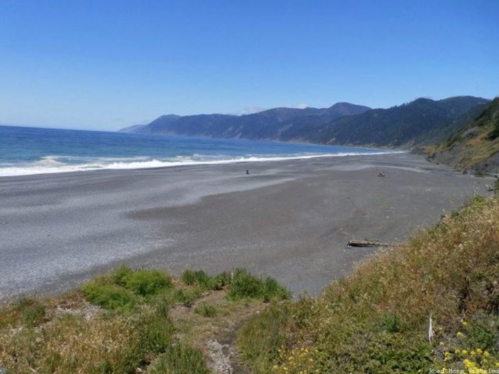
The reward for gutting out the twisting highway? The awe inspiring black sand beach of Shelter Cove.
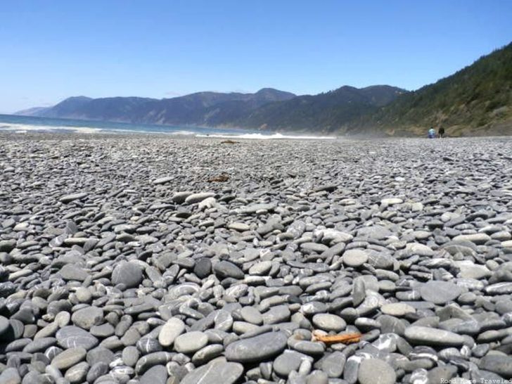
Unlike the black sand beaches in other locations such as Hawai’i, the black “sand” isn’t created by volcanic activity. Rather, the dark grey sand is the result of erosion of the shale cliffs that line the coast in this area. If you take a closer look, though, you’ll see that the sand isn’t really sand at all. It’s mostly grey/black pebbles that have been weathered into small sizes over the years. Note: if you’re planning on making the trip to Shelter Cove, services within the town itself are very limited. Only about 1,000 people live in the town, and due to its isolation, it doesn’t attract all that many tourists, either. Your best bet for food, gas, supplies, etc. is in Garberville, a few miles south of Redway on the 101.
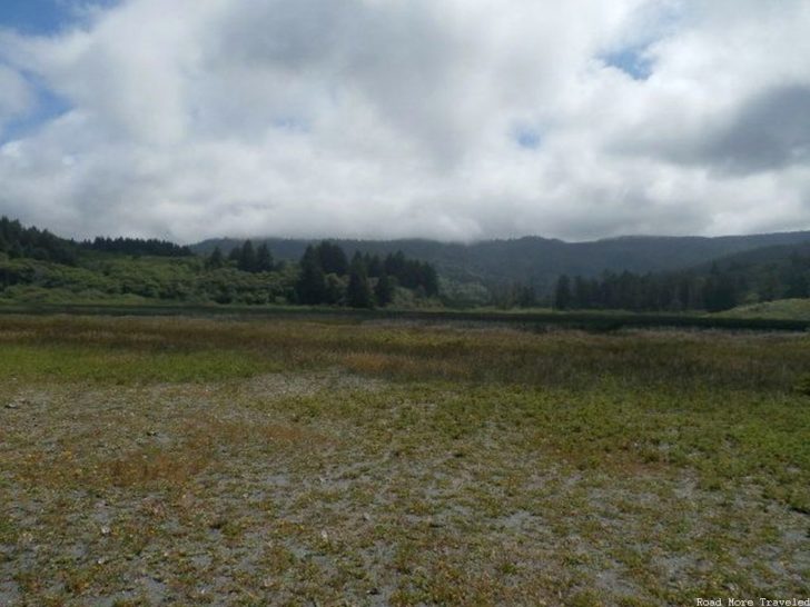
Thursday was a short drive by distance, just 80 miles from south of Eureka to the Klamath River south of Crescent City. It took nearly 9 hours, though, since we spent the entire day sightseeing. Between Eureka and Crescent City, the 101 passes through Redwood National and State Parks, and one of the first areas you pass through north of Eureka is the Humboldt Lagoons. The lagoons are small, landlocked bodies of water, and are popular spots for fishing, hiking, or just lounging around. Our first stop was at Dry Lagoon, which as its name implies, contains no water, but forms a gorgeous coastal mountain meadow. Note: Redwood National Park does NOT charge an entrance fee; however, fees may be required for camping or parking permits in certain areas.
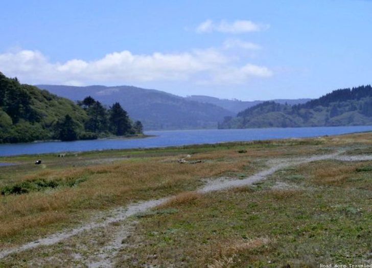
Next to Dry Lagoon is the much larger Stone Lagoon. If you didn’t know better, you might think you’re in the Green Mountains of Vermont, what with the tranquil pond surrounded by mountains.
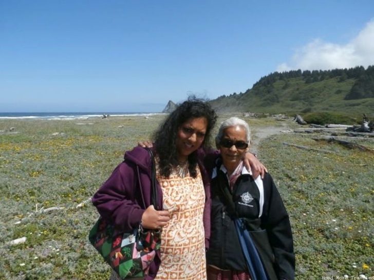
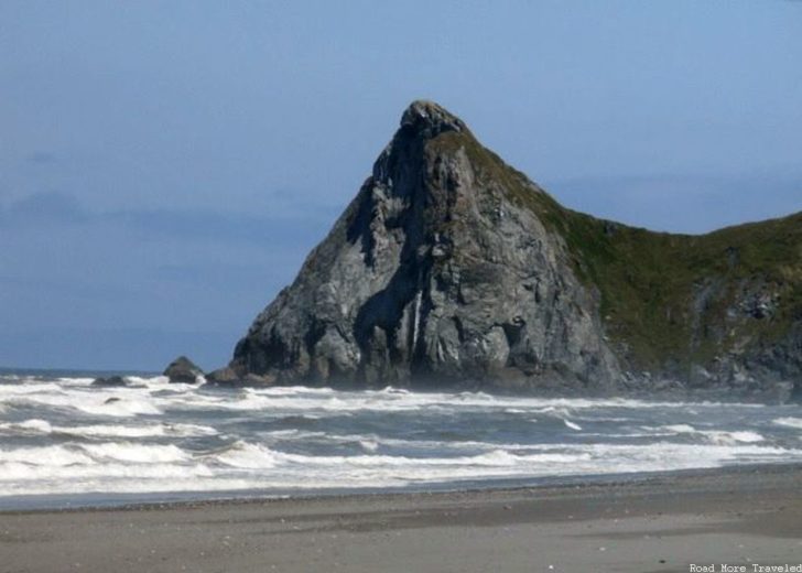
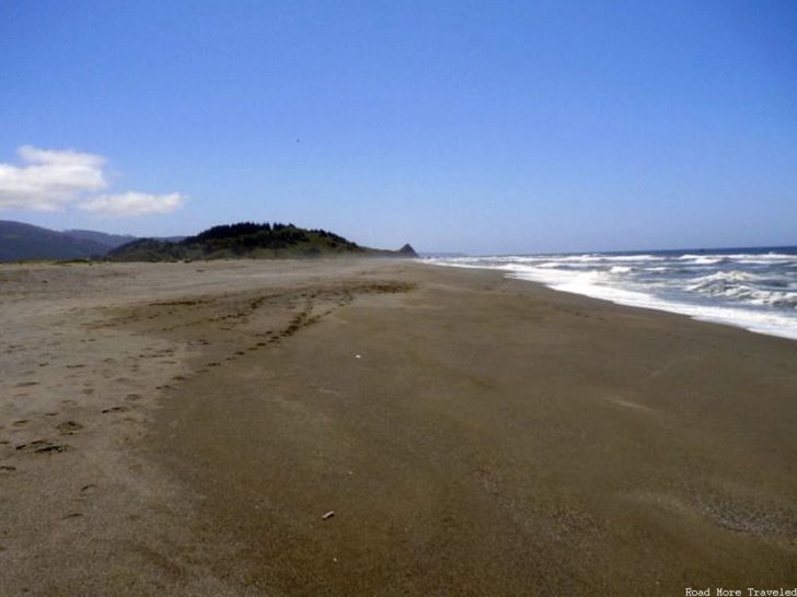
And of course, more craggy California coastline to admire as you walk along the beach. Given that it rarely gets particularly warm up here, you’ll usually have the beach largely to yourself. (The first photo is my wife Prita and my mom.)
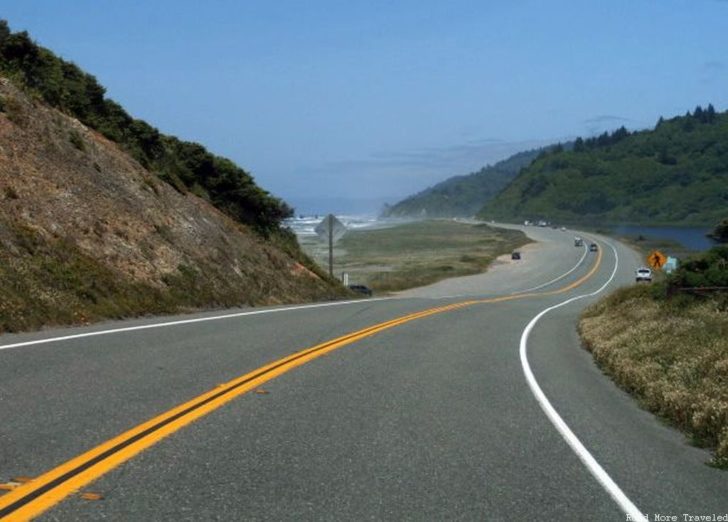
Just past the lagoons, the 101 descends briefly to the beach…
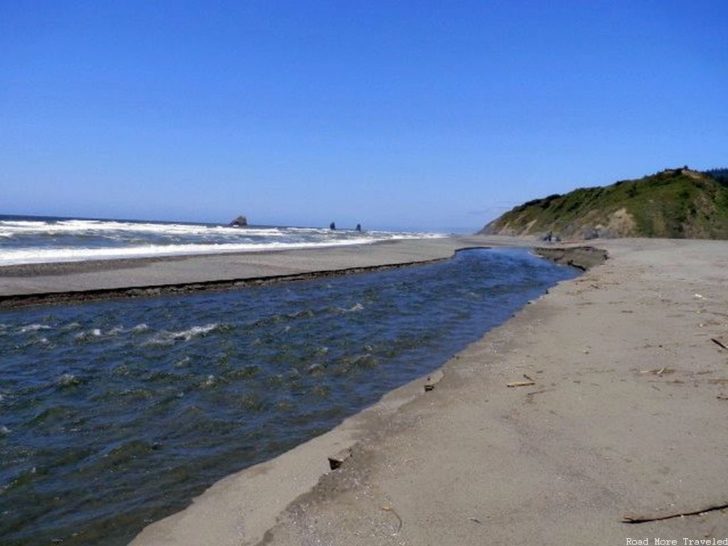
And to the left, behind the Thomas Kuchel Visitor Center, is a truly magical place, the point where Redwood Creek empties into the mighty Pacific. There’s just something positively surreal about spots like this, where one journey ends, swallowed whole by the immense ocean.
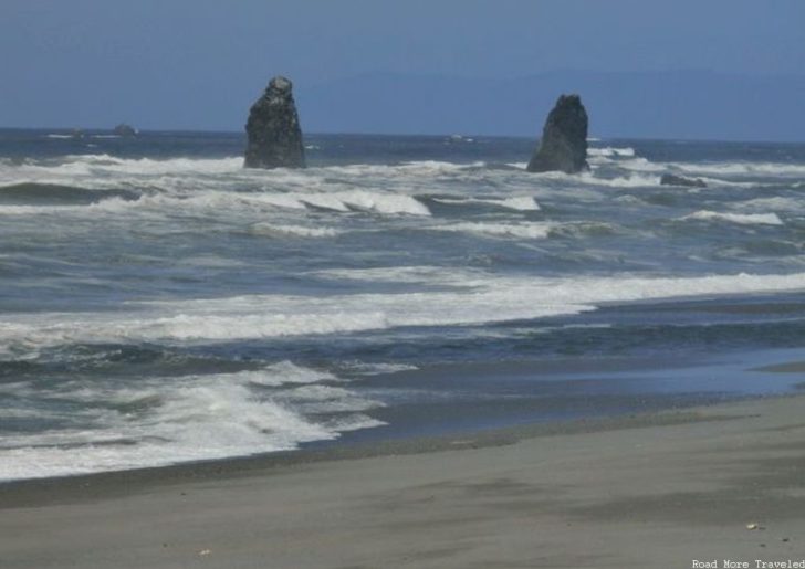
Also seen here is an interesting rock formation with an equally interesting story behind it. Take a look at the rock on the left. Can you see what appears to be a face at the top?
As I recall the story posted on an information board at the visitor center, a Native American legend talks about a girl who lived near this beach who wouldn’t stop screaming, almost in a “boy who cried wolf” kind of way. Her parents begged her to stop. Eventually, an eagle snatched the girl away and placed her at the top of the rock on the left. Her body gradually turned to stone. Her screams summoned rescuers, who worked furiously each day to chip away at the stone, but each night, their work would be undone, with even more of her body covered in rock. Eventually, the girl was completely transformed into rock. If you look closely, you can imagine the face at the top today.
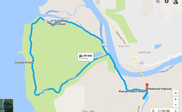
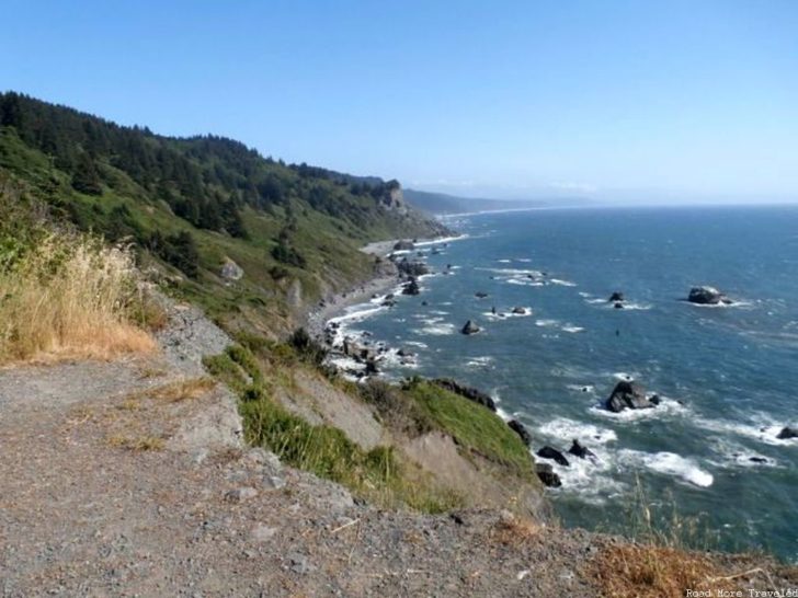
We spent most of the rest of the day exploring the redwood forests, but as the day drew to a close, we took one last detour off of 101 just before reaching the Klamath River. The diversion (Klamath Beach Road, followed by Coastal Drive) first leads to the High Bluff Overlook, which provides an impressive view to the south. A view which could be mistaken for coast of Ireland if you didn’t know better. Note: the road down to the overlook is gravel, and very steep.
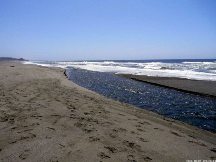
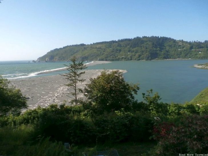
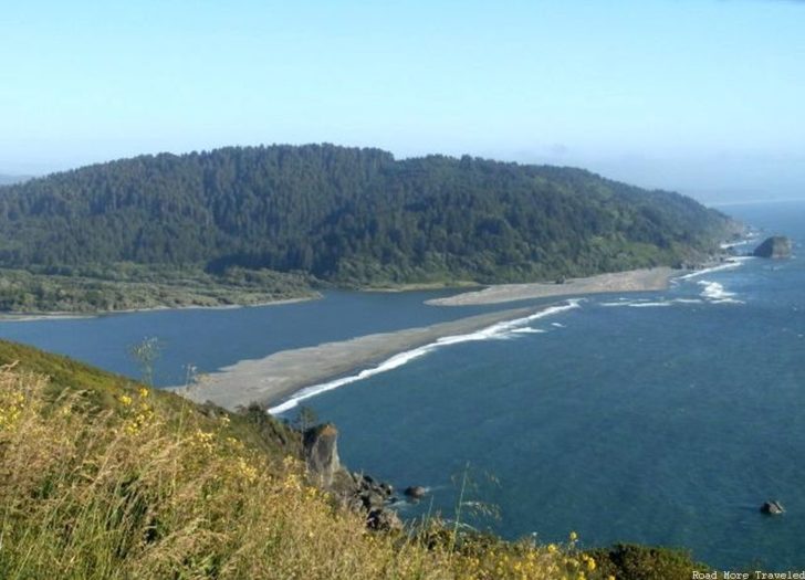
The scenic route then loops back towards the highway, first providing a distant though remarkable view of the Klamath River emptying into the Pacific. This river end is considerably more dramatic than the first creek. The Klamath River is quite wide in this area, as you can see in the approach from left, but it narrows to a tiny trickle just as it empties into the ocean.
On the other side of the river, another side road leads to a much clearer overlook of the Klamath River estuary from the north, at the aptly named Klamath River Overlook.
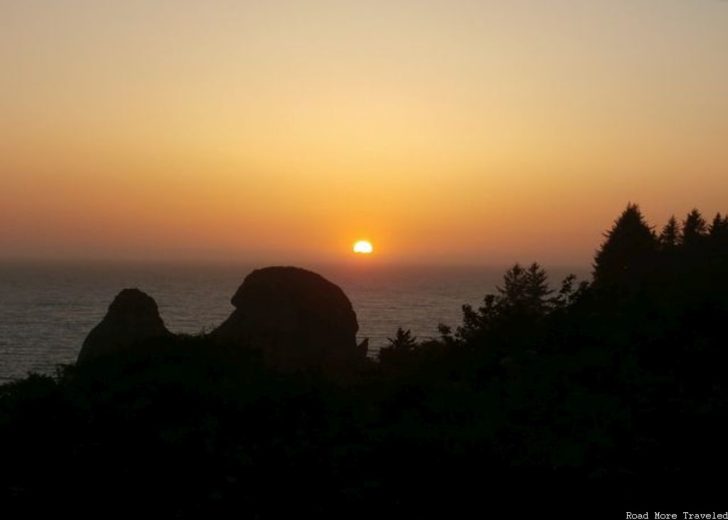
But for all the great stuff we’d seen that day, Thursday saved its best for last, with this gorgeous sunset between the rocks at on overlook off Highway 101 about 10 miles south of Crescent City.
The irony was, on the way north to Crescent City for dinner, mom had noted a scenic overlook to the left that she thought would be a good one for a sunset if we could make it back in time. We pulled in to what we thought was the overlook, and got this perfectly fine sunset. But once back on the road, we passed the actual overlook we’d wanted about a mile down the road. Oops. Then again, I’d be a fool to complain about the view we did get.
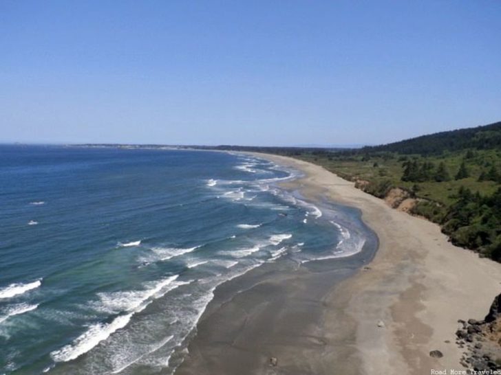
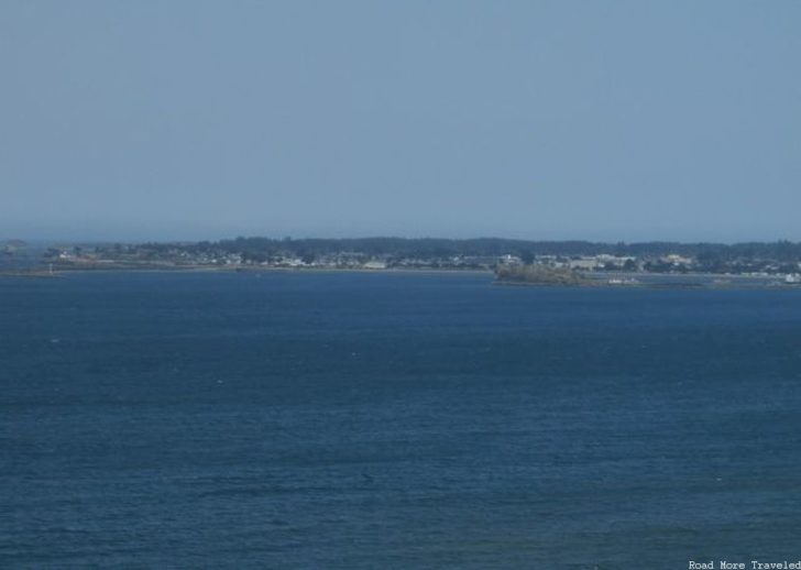
Friday would be the day we bid adieu to the coast, with one last leg up the 101 for about 25 miles before heading inland to Oregon. A few miles before Crescent City, a turnoff from Highway 101 leads to an overlook of Crescent Beach, so named due to its crescent moon shape, and the town of Crescent City in the distance.
That was it for our trip up the coast, nearly 800 miles from where we started. Yeah, California’s a bigger state than you might imagine, especially north to south. Next week, I’ll cover the main attraction we were after on this road trip, the giant redwoods of the Northern California coast.
Note: this is part of my trip report series about our trip to California in May. Click here for the trip report index and introductory post.


