As a driving fanatic, I always try to get in a little four-wheeled exploring whenever I go to visit my wife’s family in Southern California. Preferably, someplace where I can escape SoCal’s notoriously awful traffic. Even with the freeways that double as parking lots, there are plenty of fun little mountain roads. Most are just a short hop from the urban jungle. And with a rented Audi A4 Quattro at our disposal, this trip certainly called for fun mountain roads.
The choice for joyriding this time was State Highway 2, better known as the Angeles Crest Highway. The highway stretches 62 miles through the San Gabriel Mountains from La Cañada – Flintridge (just outside Pasadena) to State Highway 138 east of Wrightwood. Not wanting to bother the in-laws after a late arrival into LAX, we’d stayed in Pasadena the night before. This scenic byway worked out perfectly to take the long way to the Inland Empire.
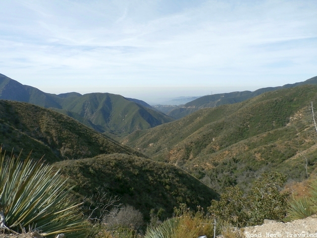
The Angeles Crest starts out as a nondescript city street as you leave the 210 Freeway. Quickly, though, the road narrow to two lanes, and starts twisting and turning up the San Gabriels. After just a couple of miles, you climb through 2,000 feet. Soon thereafter, a series of turnouts on the right provides sweeping views of the LA Basin below. Unfortunately, thick smog that day significantly blocked the view.
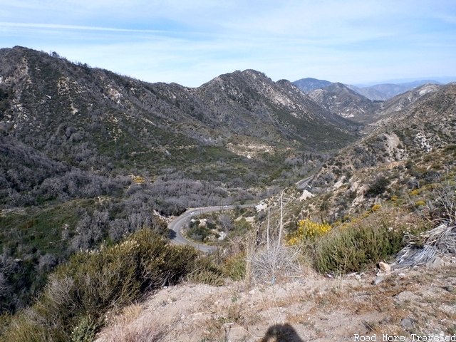
About 13 miles down the road, the road reaches 4,000 feet, and you’ll see a large turnout to the right. This high vantage point provides a spectacular view of both the highway winding up the ridge below, as well as the source region of the Arroyo Seco, as it begins its journey back down the mountains to Pasadena.
About a mile further east is the turnoff for Mount Wilson, and the Mount Wilson Observatory, on the right. We didn’t have time to head up there, but I’ve had numerous people tell me to make the trip. Maybe next time. The observatory is open for guided tours on weekends, roughly from April to October.
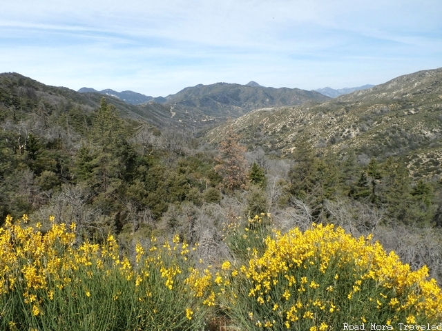
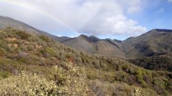
A few miles further on, a pair of turnouts on the left and right can be found. I forgot the name, but there is a large parking lot on the right. On the right, the viewpoint provides a vista of Mount Wilson to the southeast, but the sun angle made it difficult to take a photo. The vista on the left provides a vista of what I believe is Mount Lawlor, and an open view of the semi-arid scrubland in general. The elevation is high enough here that a few pine trees start mixing in. Also, despite the extended drought affecting Southern California, yellow wildflowers were in full bloom. I believe these are golden yarrow.
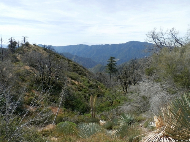
From the same spot, you see a better view of typical high desert plants beginning to mix in.
As you climb through 5,000 and then 6,000 feet, approximately 30 miles into the drive, a series of turnouts to the left begin to appear, providing views of the high desert Antelope Valley. You can get a sense here of how the climate changes from the south side of the San Gabriels to the north. The high mountains intercept moisture coming from the Pacific, yielding pine forests here near the crest, but a considerably drier climate on the south slopes, and drier still in the Antelope Valley and the Mojave Desert beyond.
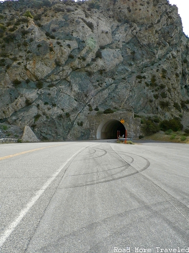
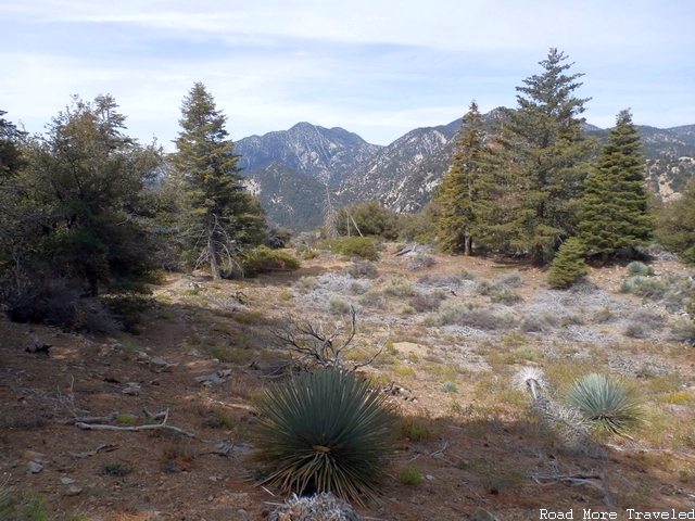
Approximately 37 miles in, we made a longer stop at the Eagles Roost Picnic Area, at the entrance to the first of two tunnels along the highway. On a non-smoggy day, you could probably see the Inland Empire to the south, though on the day we visited, you couldn’t see that far. There is also a short trail leading to a meadow behind the picnic area where you get a good view of the Twin Peaks (maximum elevation 7,761 feet) to the southwest; the trail also leads to a waterfall, but a swarm of bees stopped me from making it all the way.
Looking east towards the first tunnel portal
Meadow with view of Twin Peaks
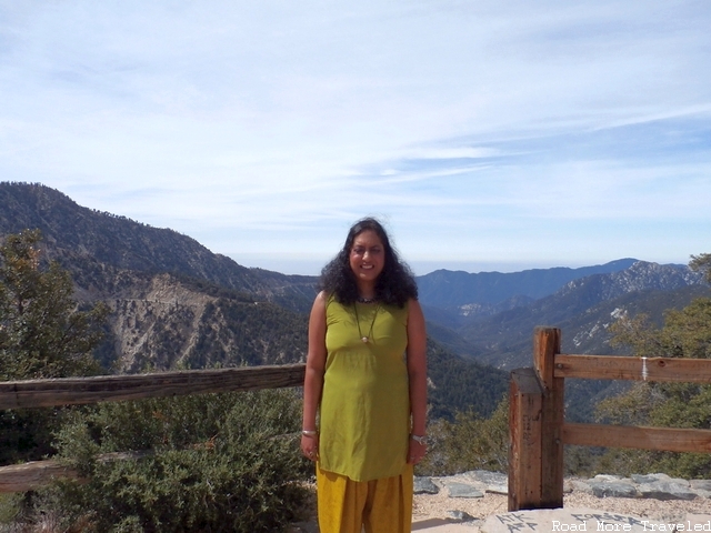
Looking south towards the Bear Creek watershed
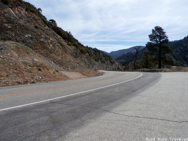
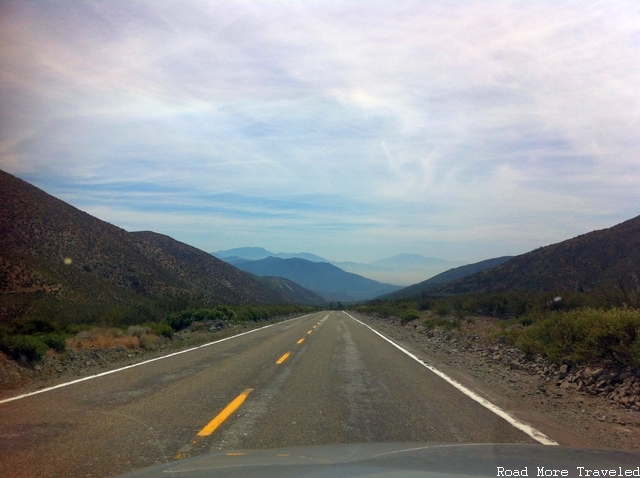
View of the road heading west back towards Pasadena
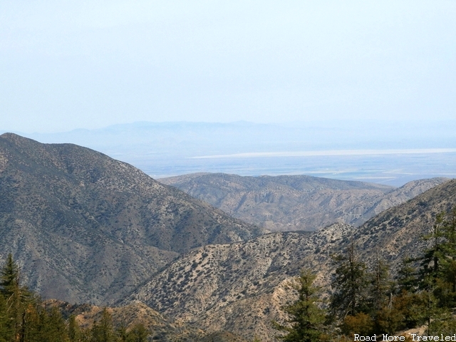
45 miles from the road’s western terminus, you reach the highway’s maximum elevation of 7,901 feet at Dawson Saddle. This is probably the best spot along the highway for views of the Antelope Valley, as you can see both the western side of the valley towards Palmdale, and an enormous dry lake (El Mirage Lake) as the valley morphs into the larger Mojave Desert.
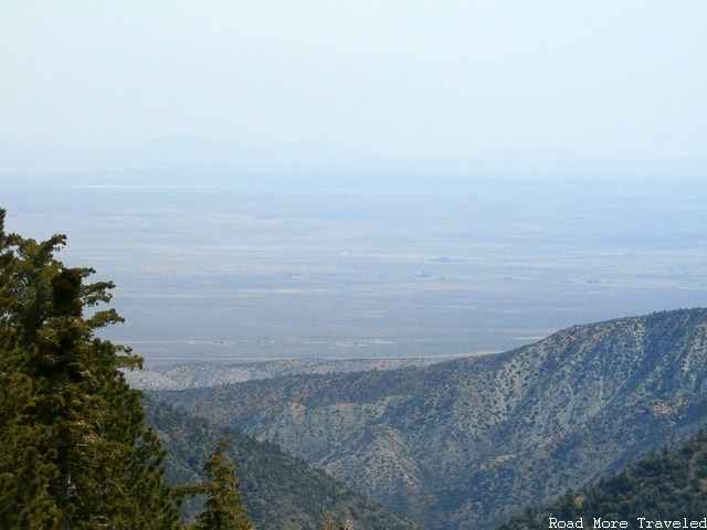
Western half of the Antelope Valley through the haze
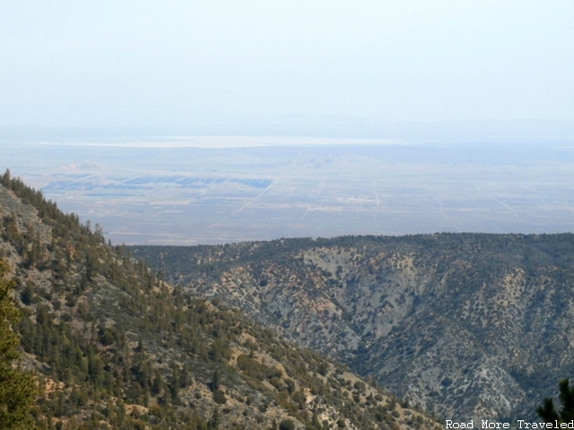
The enormous El Mirage Lake, and farmland at the south end of the valley
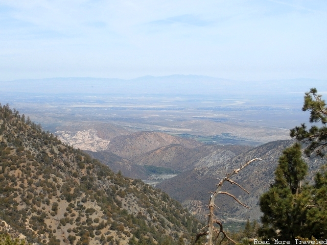
About two miles further on, a vista on the left provides a vista of a colorful canyon descending to the floor of the Antelope Valley, with a good view to the northwest extending almost all the way to Palmdale (not seen below due to the hazy weather).
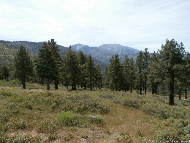
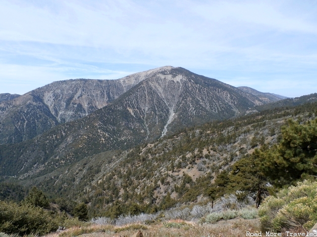
About six miles further on, now 53 1/2 miles from the road’s western terminus, you reach the secondary summit of the highway, Blue Ridge Summit at 7,360 feet, and perhaps the highway’s best viewpoint, Inspiration Point, on the right. Why would I consider this the highway’s best viewpoint? Because you can see many of Southern California’s iconic natural landmarks from this one spot. First, looking southeast, is a beautiful mountain meadow that provides a view of three of the San Gabriels’ best known peaks – Blue Ridge (left), Pine Mountain (center), and perhaps the best known of all, Mount Baldy (right).
To the southwest, you are afforded a nice close-up view of Mount Baden-Powell.
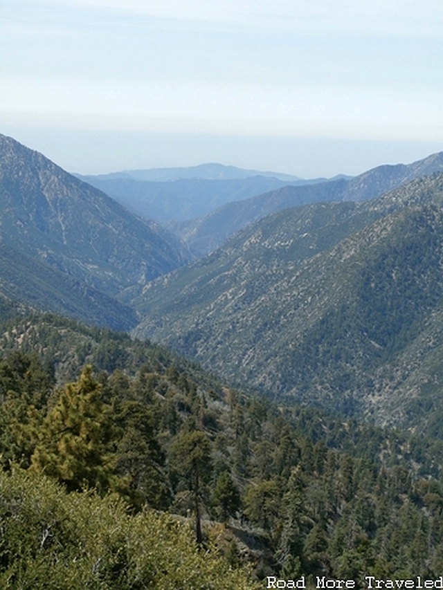
And finally, to the south, a valley that marks the headwaters of the San Gabriel River. Here, it begins its journey southwards to the LA Basin.
And on top of all that, the San Andreas Fault passes directly underneath you at this point.
Shortly after leaving the viewpoint, the road enters the town of Wrightwood, which effectively marks the end of the highway. From here, you have three choices to continue. To reach the 15 Freeway at Cajon Junction, you can either continue on Highway 2 to Highway 138, approximately 5 miles to the east, and then take that east to the freeway. You can also turn right at Lone Pine Canyon Road, which joins Highway 138 just before the 15. Or if you feel like doing more exploring, just before entering Wrightwood, you can turn left at Big Pines Highway, which descends down into the Antelope Valley. On the way, the road passes Jackson Lake, a small natural lake formed by the San Andreas Fault. The road dead ends at State Highway 138; from here, you can either turn left to Palmdale, or right to Cajon Junction.
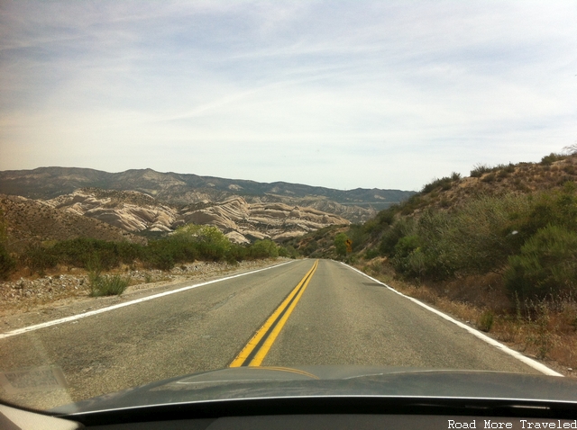
We decided to take the Lone Pine Canyon Road option. It descends rapidly through Lone Pine Canyon from the roughly 6,000 foot elevation of Wrightwood to the 3,200 foot level at Interstate 15 at Cajon Junction. Aside from the steep grade (you’ll want to use a lower gear), the road is straight for the most part, and provides a nice view of the high desert canyon. At the southern end of the road, you reach a brief twisty section through a “badlands”-type formation.
Descending through the high desert, with the smog of the Inland Empire ahead
Badlands-type formation near the end of the road
Important Things to Know About the Angeles Crest Highway
- Speed limit – 45 mph to the Mount Wilson turnoff; 55 mph on the remainder, except through Wrightwood. I’ve been told it is strictly enforced, so be careful.
- Driving time – minimum 1 hour, 30 minutes
- Activities available – hiking, skiing (winter)
- To park your car unattended at picnic areas, turnouts, or other trailheads, a Forest Service “Adventure Pass” is required; cost is $5 for a day pass or $30 annually. More information is available here.
- The road is frequently closed during winter wet season (November through March) due to snow and/or rock slides. Check conditions before you go to avoid disappointment. If you’re staying the night, book hotels in Laguna Beach in advance.
- No gasoline is available between La Cañada-Flintridge and Wrightwood, a distance of approximately 55 miles.
- Watch for heavy traffic westbound, especially Sunday afternoons, as everyone heads back to the hustle and bustle of LA

