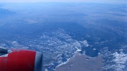
Frequent readers of this blog know my wife’s family hails from California’s Inland Empire. thus, we make semi-frequent trips out there. Ontario is the most convenient airport to fly to, assuming the fare is competitive with flying into LAX (it usually isn’t). The nonstop route from DFW is similar to the one to LAX, which I’ve documented in a previous flightseeing post.
A couple of years ago, we were planning a trip to SoCal, and Southwest offered an unusually cheap fare to Ontario from Dallas Love Field. One that was actually cheaper than to LAX. The catch? This was prior to the ending of Wright Amendment restrictions at Love. That meant a flight to ONT usually involved two stops enroute. In this case, that meant stops at El Paso and Phoenix heading west, and Phoenix and San Antonio coming back east. Though this meant a significantly longer flight time than normal, the multiple hops also meant some unique window sightseeing. At least as long as the weather cooperated.
Dates of flights: January 18 and 22, 2014
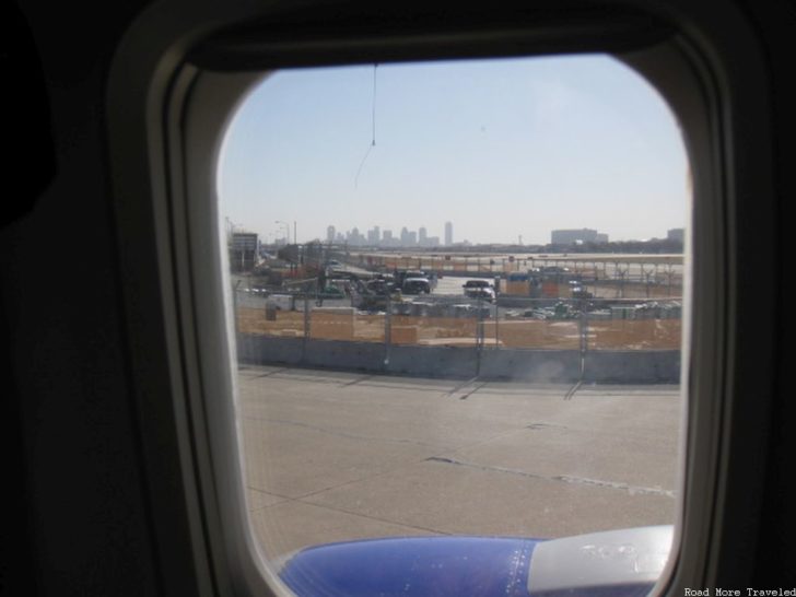
The weather definitely cooperated heading west, with clear skies the entire way from Dallas to California. The Love Field modernization project was still wrapping up at that time. We started off with an interesting view of downtown Dallas through the window, and a construction area, as we taxiied to the runway.
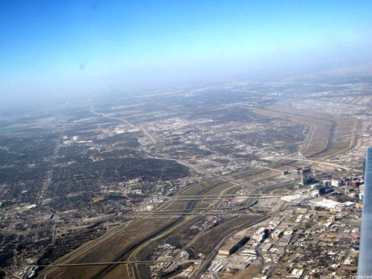
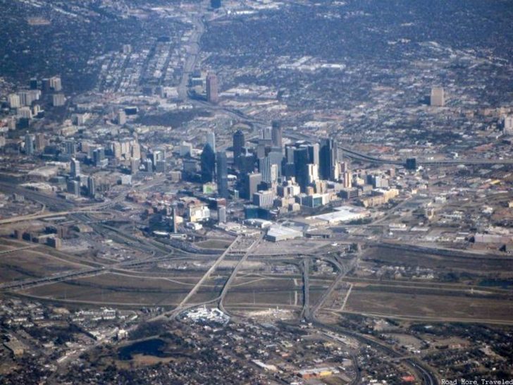
Due to prevailing winds that day, our routing would be a slightly circuitous one at the beginning. It first took us southeast past downtown, then headed northwest for a bit. Finally, it headed west and west/southwest towards the Borderlands region. The route made for a fairly low fly-by of the Trinity River and the Dallas skyline a few miles away.
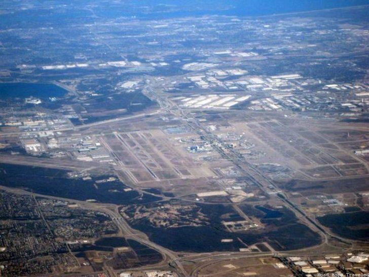
I was a little surprised about the northwest turn, but I wasn’t complaining. After all, it provided a full view of the DFW Airport airfield and terminals in the distance.
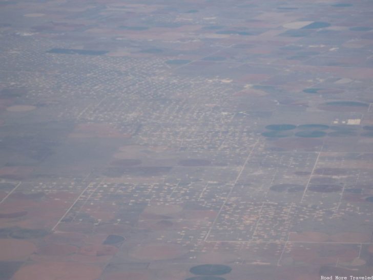
The drive from Dallas to California via El Paso is one I’ve done more times than I can count. Once you get a little west of Fort Worth, it gets lonely fast. The vast open farm and ranch lands of West Texas eventually give way to the “dots” of oil & gas wells of the Permian Basin approaching Midland.
Eventually, crossing the Pecos River, the land turns to the dry desert synonymous with the American Southwest. Salt flats were visible in the distance.
The route also takes you past the Hueco Tanks, a collection of small mountains (really more like a collection of giant boulders) a little east of El Paso. The “tanks” have been a gathering spot for people for thousands of years, as the porous rocks are good at holding pockets of rainwater. You can find historic artificats among the rocks, or you can even climb the rocks. However, the number of climbers at any one time is limited due to overcrowding.
Shortly thereafter, we began our final descent into the El Paso airport, which is located on the far east side of town.
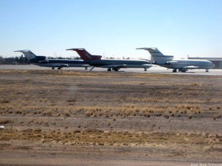
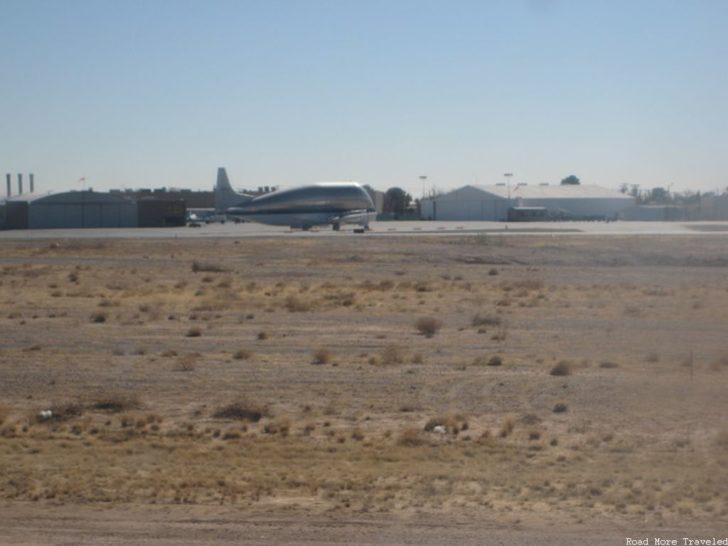
The airport is serviced by all of the major carriers (American, Delta, United) as well as Southwest, though commercial service is fairly limited. The airport does have an interesting collection of private and military planes, though.
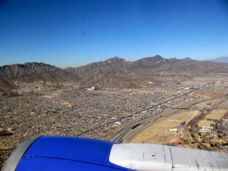
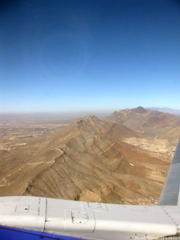
Anyway, after a brief stop for passengers deplaning/enplaning at El Paso, we headed on to Phoenix. Flying west from ELP, the route takes you straight over the ridge of the Franklin Mountains. These mountains bisect the city from north to south. As an aside, Franklin Mountains State Park is worth a visit, a desert nature preserve right in the heart of a major city. If you’re driving through on Interstate 10, a scenic alternative is to take the Woodrow Bean Trans Mountain Highway. The scenic drive bypasses most of El Paso to the north via a pass through the mountains.
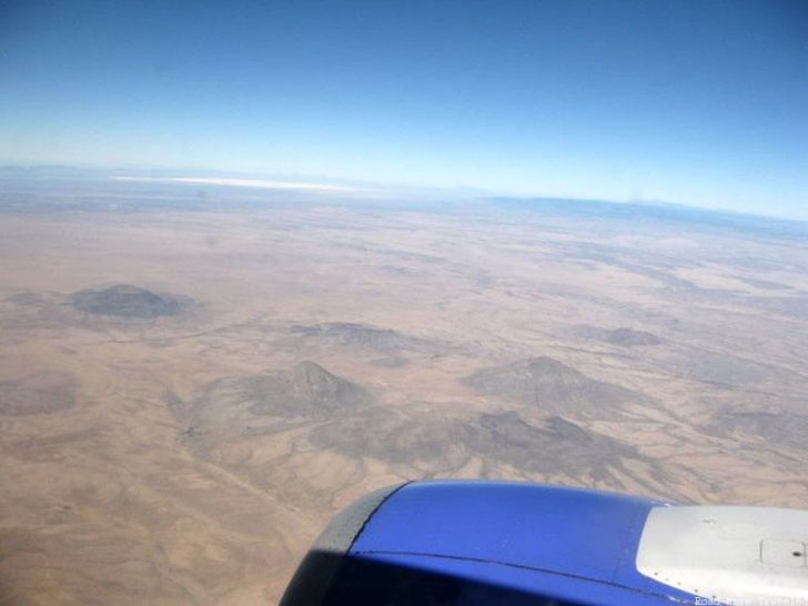
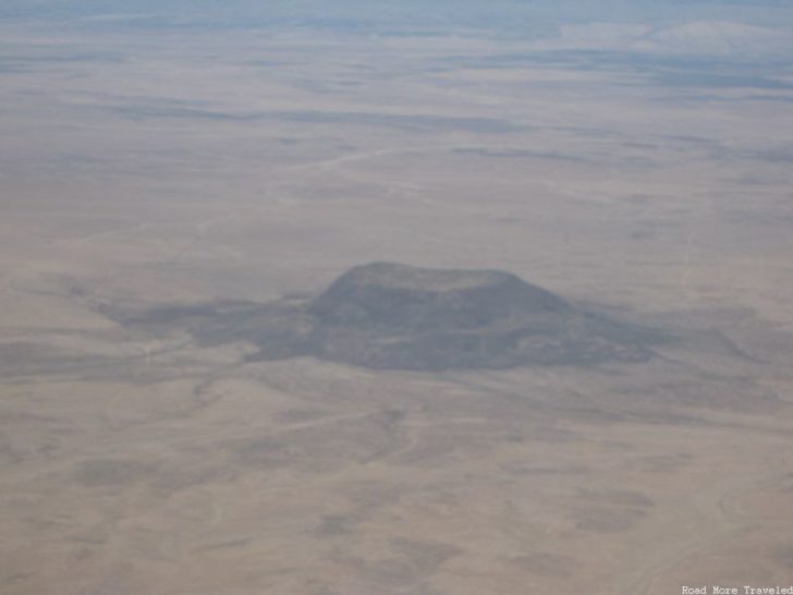
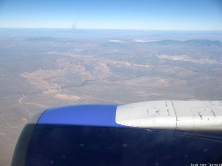
Between El Paso and Phoenix (and really, all the way to Palm Springs), the landscape looks pretty much the same. You see alternating desert lowlands and mountains.
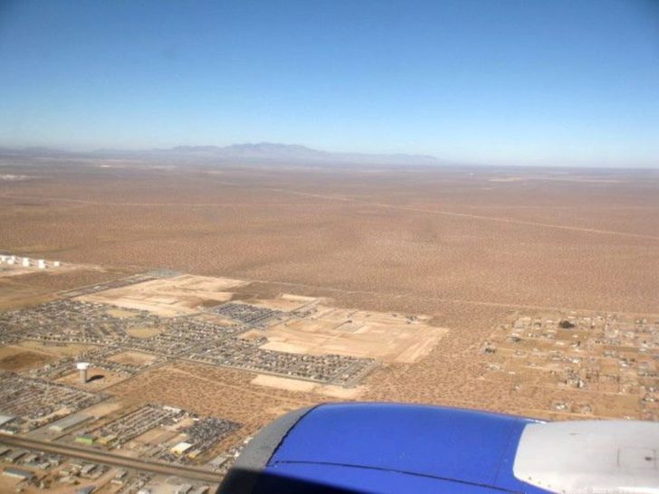
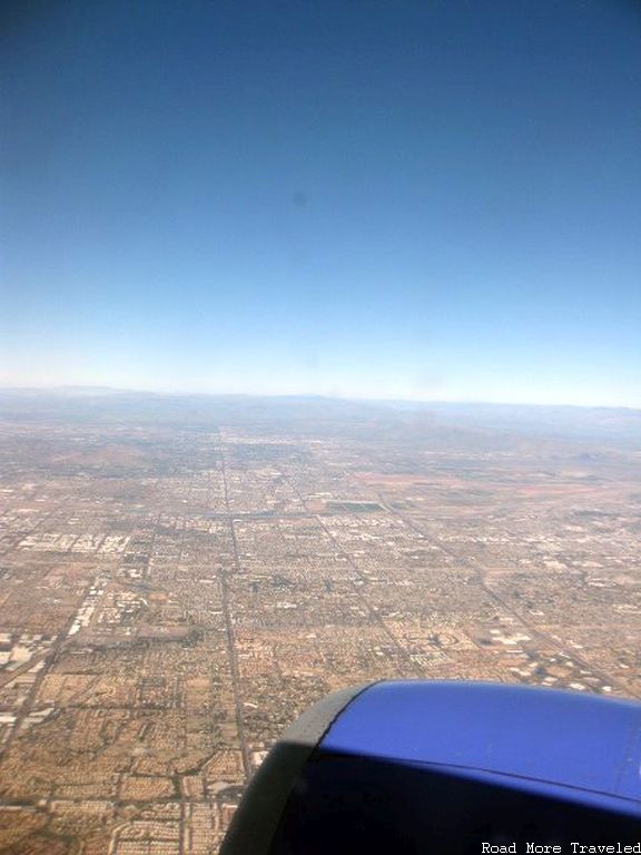
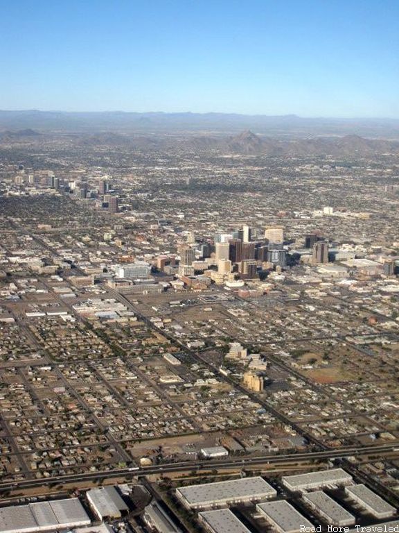
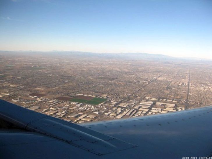
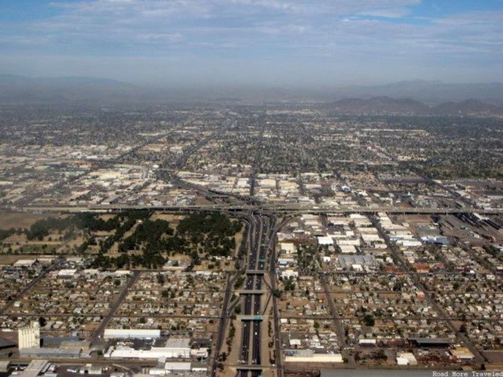
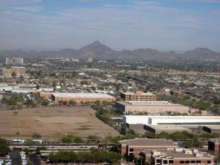
The approach to Phoenix involved flying past the airport and city, then circling back around to land from the west. The approach takes you past the arrow-straight roads and subdivisions of the eastern suburbs, before passing downtown to the south.
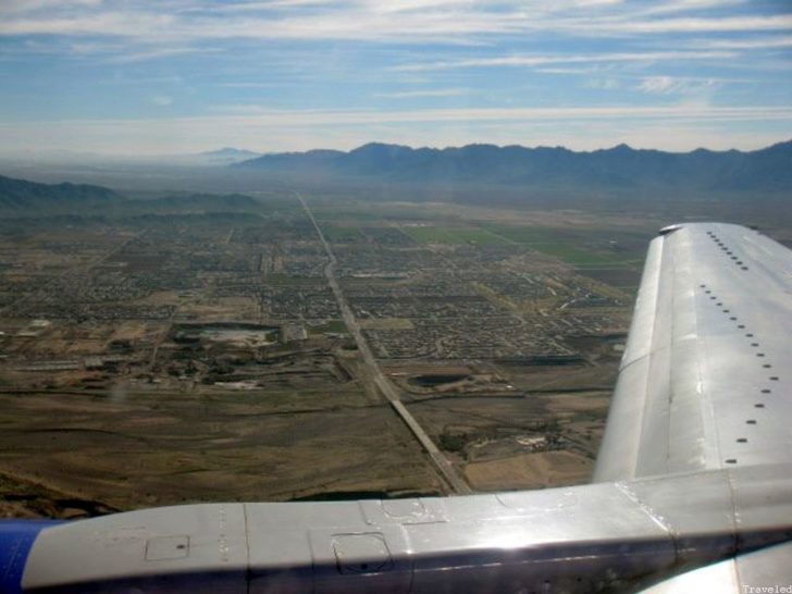
After the U-turn, we had a view of the less populated southern half of the city south of the Salt River. This is a more agricultural area abutted by mountains.
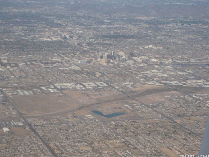
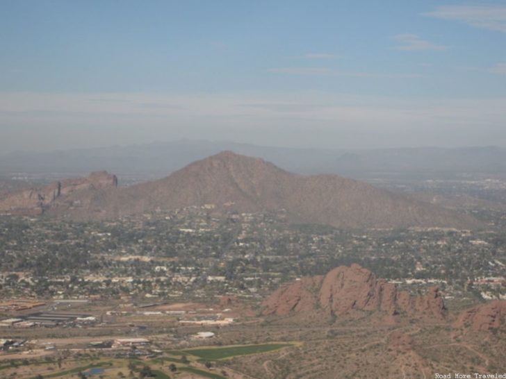
After a brief stop at PHX, we continued on west. This time, we enjoyed a much lower fly-by of the downtown Phoenix skyline with Squaw Peak just to the north, and the equally arrow-straight western suburbs.
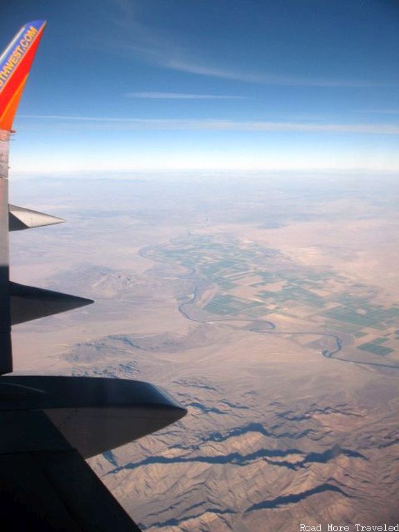
About 140 miles and half an hour later, we crossed a seemingly random patch of green. That’s the Colorado River separating Arizona from the Golden State.
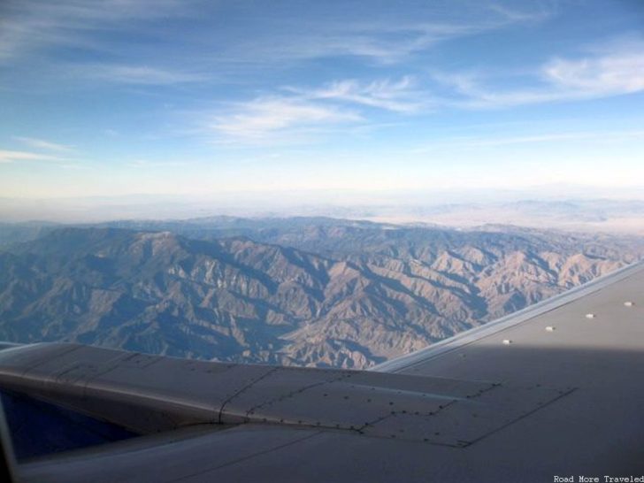
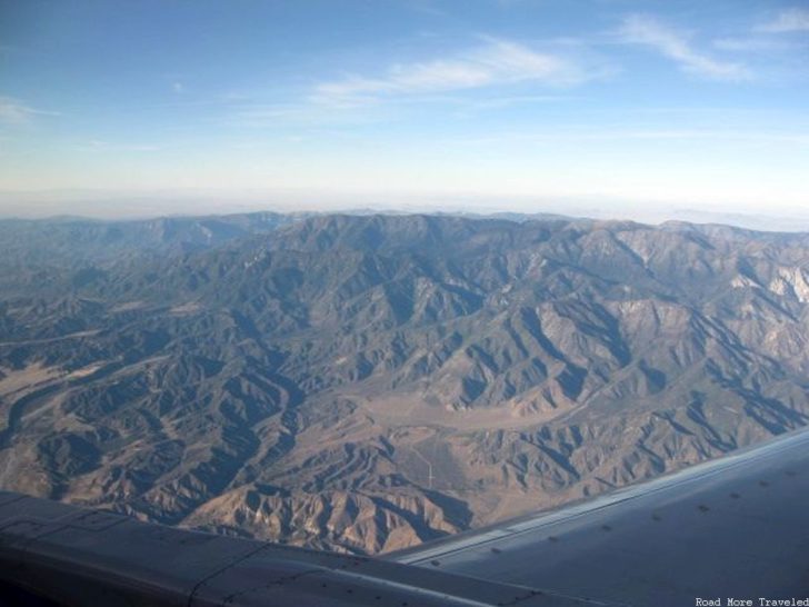
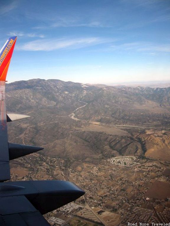
Our route on this day took us very close to the San Bernardino mountains south of Lake Arrowhead and Big Bear Lake. The sunny weather made for an incredible view of the mountains. It had been fairly warm over the last few weeks, thus no snow, even in the higher peaks.
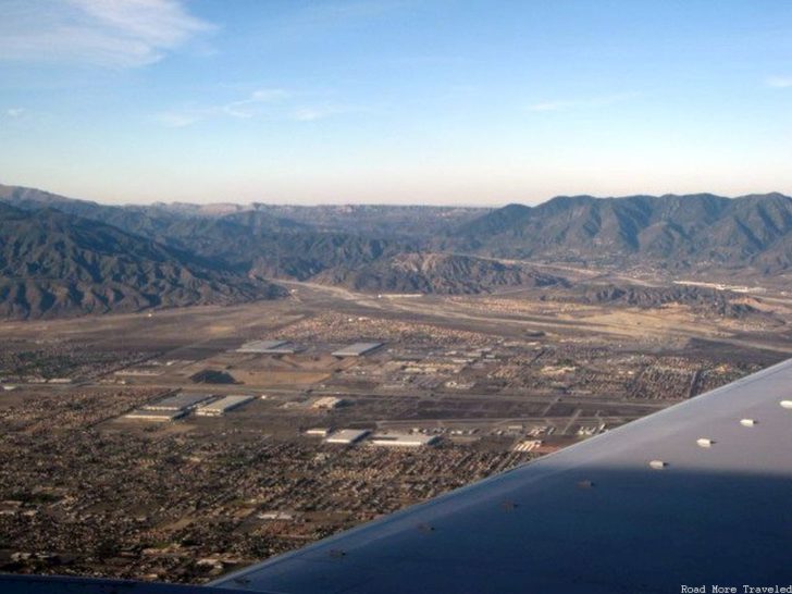
Eventually, we crossed Interstate 15 looking north towards the well-traveled Cajon Pass. Our journey had nearly come to an end.
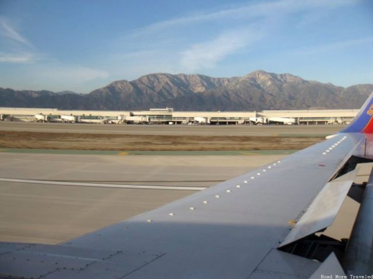
And finally, we made it to ONT, with Mount Baldy looming large over the terminal buildings.
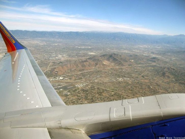
On the way back home 4 days later, our plane followed a slightly more southerly route to Phoenix, taking us past the small hills south of San Bernardino and Loma Linda. My in-laws’ house is just over the north side of the hills, prompting me to wave as we passed over. (Ok, no, not really, though that’ll probably be a fun game to play with Ashok once he starts flying.)
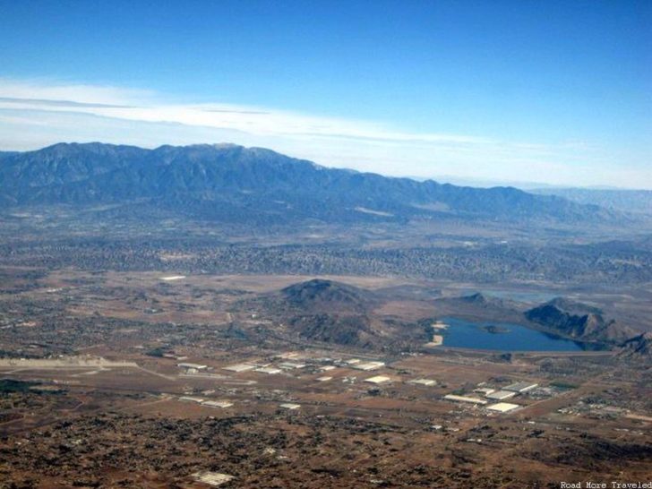
We then passed south of Lake Perris and the associated state recreation area. Lake Perris is an interesting feature. To the naked eye, it looks like a volcanic crater lake. But it is, in fact, man made.
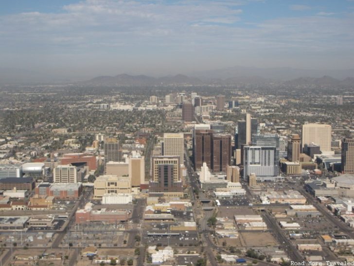
Our trip involved a stop in Phoenix again, this time with a much better fly-by of the city center.
This approach path also gave us a much better view of Squaw Peak and the Phoenix Mountain Parks on the north side of the Valley of the Sun.
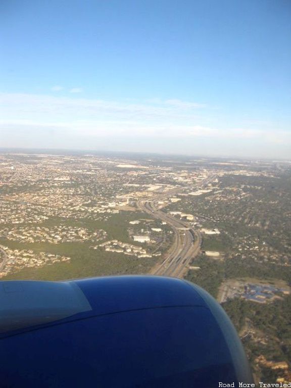
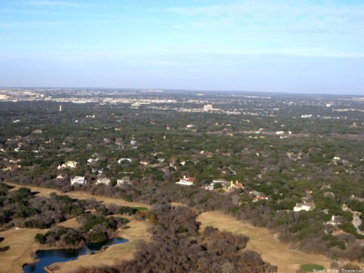
The leg from Phoenix to San Antonio involved basically the same landscape we’d passed over on the way in from Dallas. The first sign of something “new” appeared on the outskirts of San Antonio. If you’ve never been to Austin or San Antonio, there is a sharp difference in landscape between west and east. The western half of both cities lies in the Texas Hill Country, a vast area of rolling hills. Compare this to the flat coastal plain to the east.
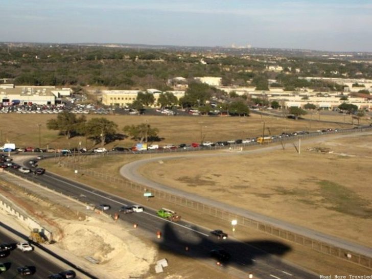
As we landed, the late afternoon sun created an awesome plane shadow.
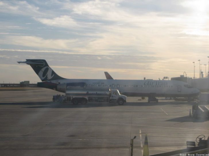
And then as we waited at the gate for a few folks to get on and off, one of the last vestiges of Air Tran sat at the gate next to us.
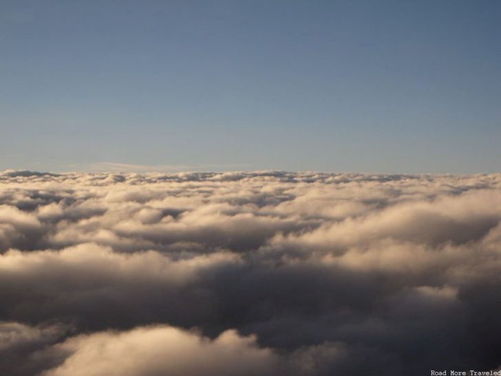
We only had a short stop at SAT, and then it was time for the short final hop to Dallas. Unfortunately, a deck of low clouds took over just north of San Antonio. Still, the setting sun glistening off the clouds was cool.
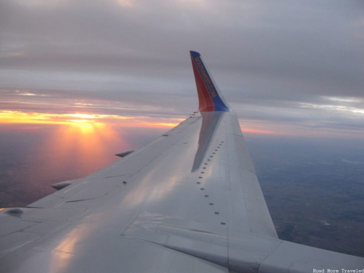
And I have to say, not much beats a Texas sunset with a side of wing. It almost made turning a 3 hour flight into more than 5 worth it…

