Following the conclusion of our cruise, we had a midday British Airways flight scheduled from Rome to London, so that we could meet up with my cousin and his family before heading home the next day. With a window seat, full daylight, and a landscape I don’t cross all that often, that meant one thing. That’s right, flightseeing time! Fortunately the weather was clear most of the way, allowing for largely unobstructed views from my seat, 7A in Club Europe (left hand side).
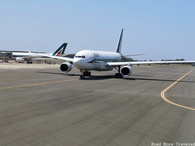
Rome Fiumicino Airport is west-southwest of the Rome city center, along the coast of the Tyrrhenian Sea. Our flight path would therefore head over the ocean at first, before bearing north/northwest over the Alps and France. Then, we crossed the English Channel and descended over southern England to reach the airport. As we taxied to the runway, I caught a glimpse of a pair of Alitalia jets. One at the gate, the other following us to the runway.
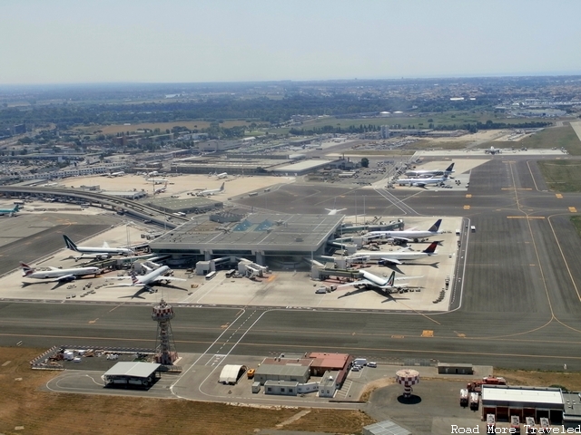
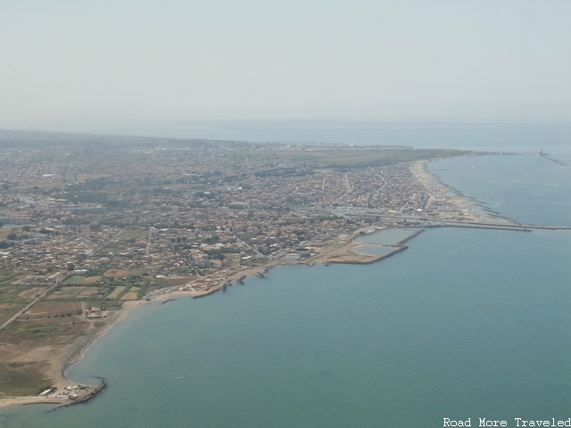
I was unfortunately on the wrong side of the plane to catch a view of Rome to the east. But I did enjoy a quick view of Fiumicino’s Terminal 3, along with the western/southwestern suburbs of Rome as we headed out to sea.
Panorama of Terminal 3
Far western suburbs as we head out to sea
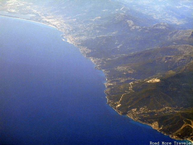
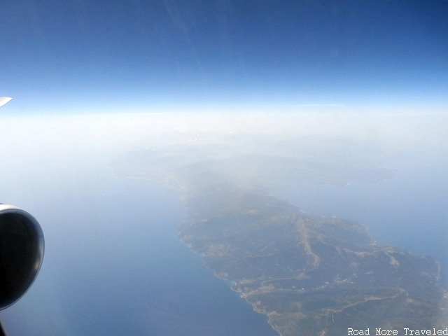
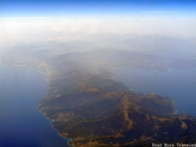
As expected, our route took us quickly over the water. I expected to remain over the sea until we hit the coast of far northern Italy or the French Riviera. But not even 20 minutes later, a beach came into view, followed by some mountainous land. It seemed far too early to be the northern Italian coast, but the landmass was clearly an island. I later realized we had passed over the far northern portion of Corsica, including the thin “finger” that points out of the northeast corner of the island.
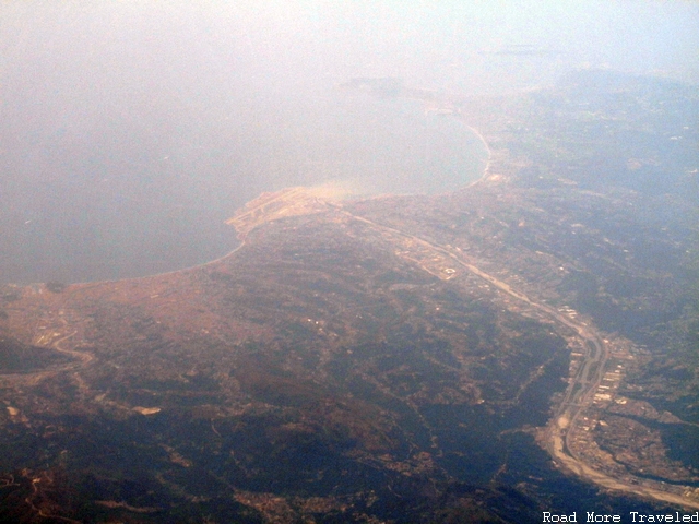
Approximately 15 minutes later, we reached the mainland of Europe. Based on the airfield in at the bottom of the photo, and the river flowing down towards its west end, I believe we crossed just west of Nice, with the airfield being the Nice – Côte d’Azur airport. FYI, apologies for the occasionally sketchy photo quality from here on out. When you’re trying to zoom through a scratched window, you end up with some splotchy color.
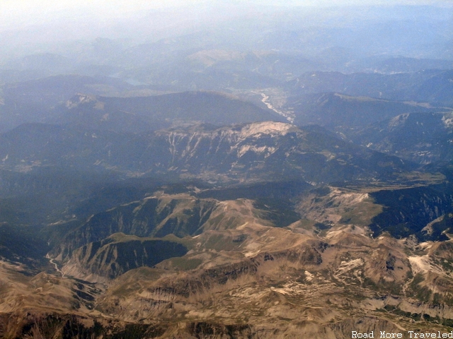
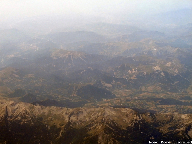
Our route very quickly found its way over the French Alps, likely not too far from the French-Italian border. The vegetation greened noticeably as the elevation continuously increased.
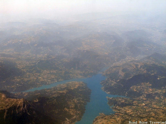
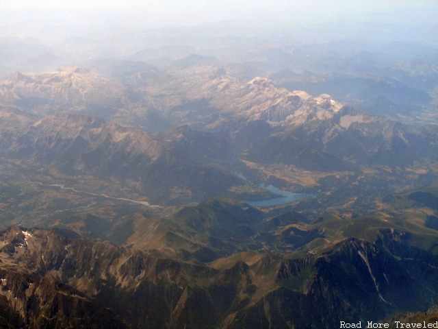
Next up was a beautiful Alpine lake nestled into the mountains. Based on the shape and the time elapsed, I believe this may be Lac de Serre-Ponçon. For reference, that’s about halfway between Nice and Grenoble.
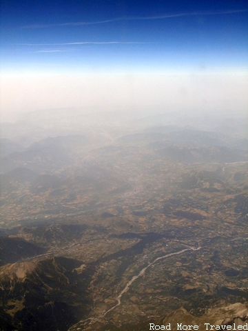
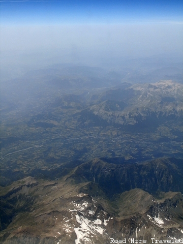
The Alps noticeably flattened for a while, revealing a more agricultural landscape. They then abruptly jutted towards the sky once again, even revealing a touch of snow in the highest elevations.
Another Alpine lake appeared, surrounded by very high mountains on both sides. Based on the shape and location, this may be Lac du Sautet. Incidentally, the odd coloring actually gave this photo an interesting look, almost like a painting.
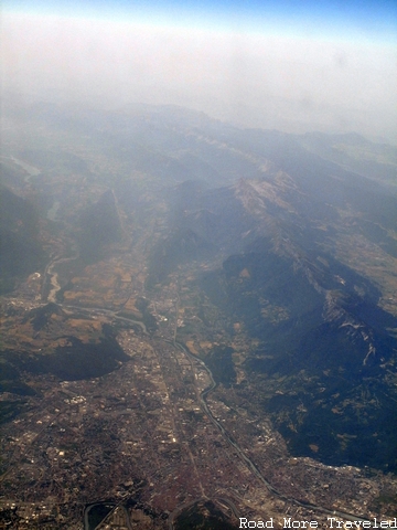
Shortly thereafter, civilization appeared for the first time in awhile, with what appeared to be a sizeable town shoehorned into a narrow valley. This is most likely Grenoble and its suburbs.
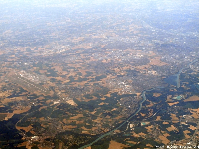
And with that, we left the Alps behind, and entered bucolic French farm country as we headed in the general direction of Lyon. In fact, I believe you can see the Lyon airport and the eastern portion of the city, as we cross the Rhone River.
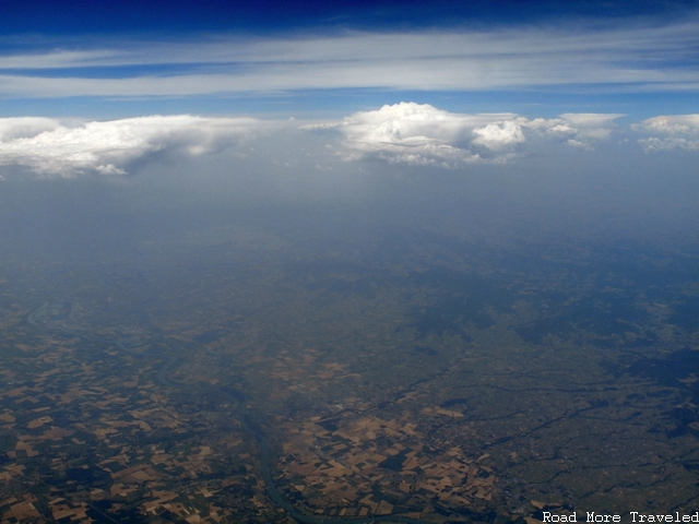
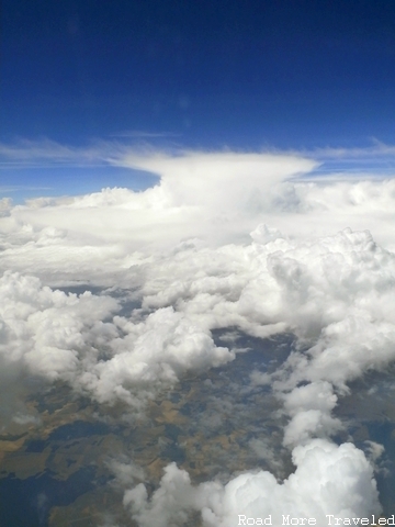
Shortly after passing Lyon, the weather began to turn just a little bit. Much of Western Europe, including France, had been suffering through an intense heatwave over the prior week or so, and it was finally ready to break on the Fourth of July. With the heat relief, though, came stormy weather, with a few thunderstorms just beginning to pop about 12:15.
The storms became noticeably more intense as we continued northwest towards Paris. Unfortunately this obstructed my view of the ground for a little while.
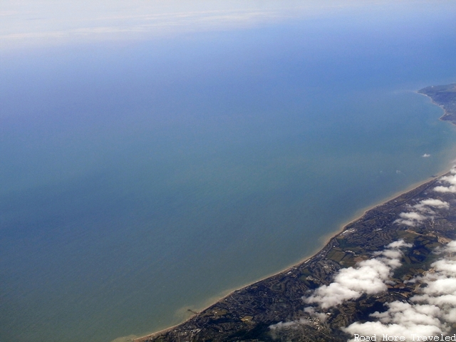
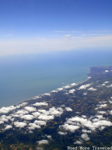
The obscured sky didn’t last long, though. Thus, we enjoyed a gorgeous view of the English coastline as we made it across the English Channel. Based on the shape of the coastline and the lightly populated character of the area, I believe we crossed a little west of Dover, in the general vicinity of Dungeness.
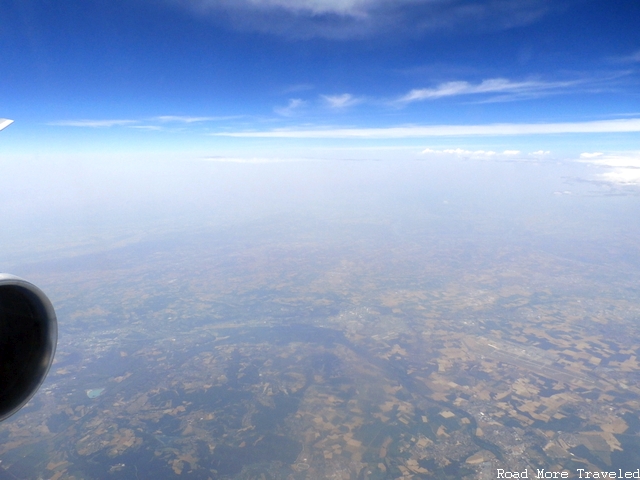
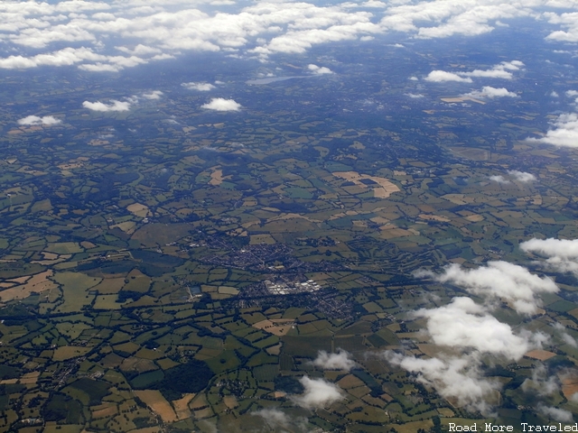
We then continued northwest over the lightly populated but lush, green, largely agricultural area of the South of England. We had started descending by this time, allowing you to see the charming hedgerows England is known for.
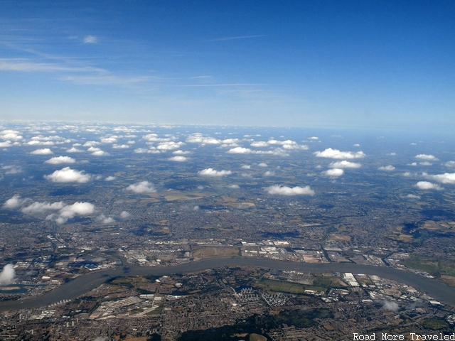
It wasn’t long, though, before we reached the urban jungle of London’s southern eastern suburbs along the River Thames, in the vicinity of Dartford.
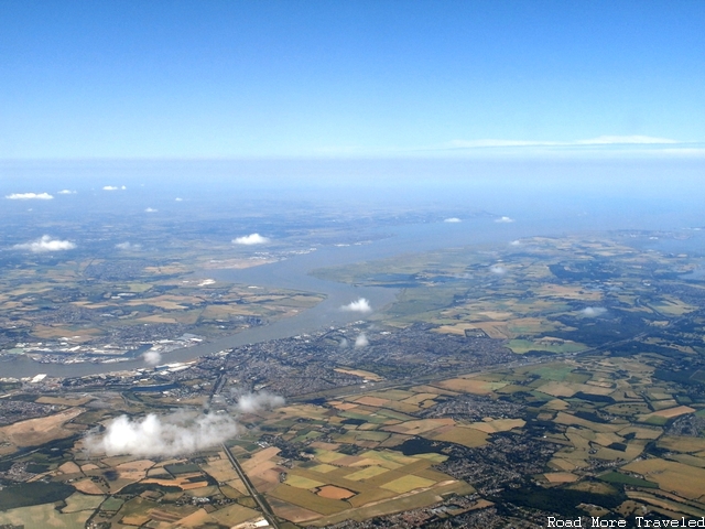
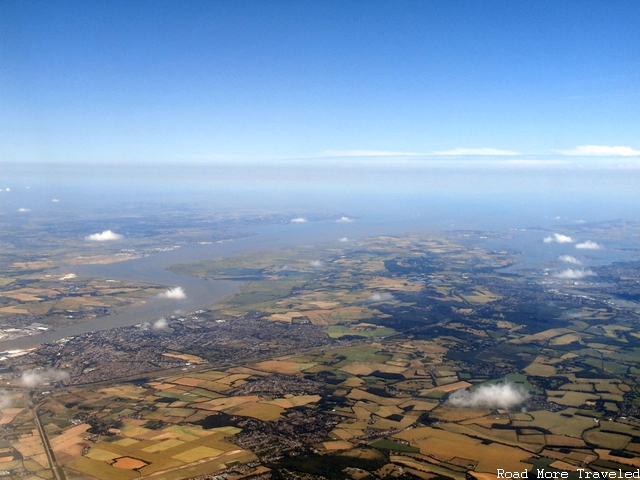
At that point, though, we briefly made a turn towards the east. Presumably, this lined us up for our approach to Heathrow from the west. This provided a spectacular view of the mouth of the Thames as it empties into the sea.
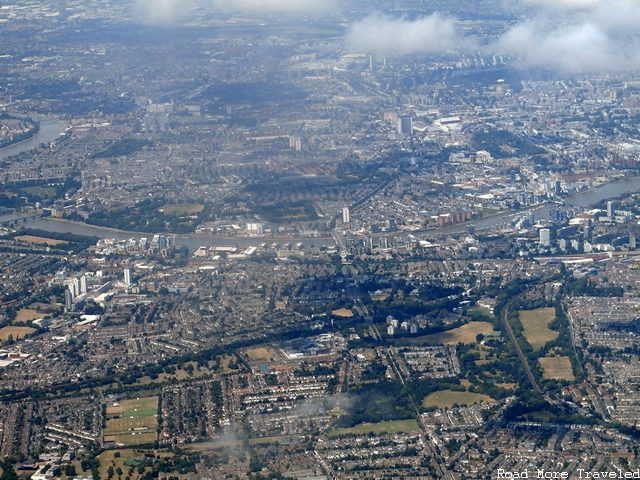
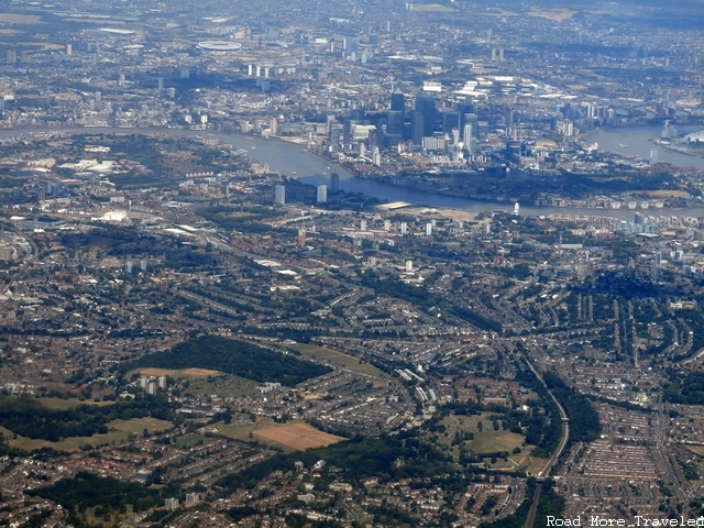
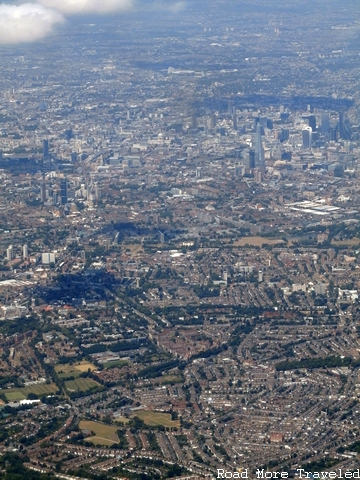
Our bird then made a gradual turn back towards the west. Those on the left side of the plane were treated to a brief but spectacular view first of the eastern suburbs along the river. Later, we saw Canary Wharf and the London financial district.
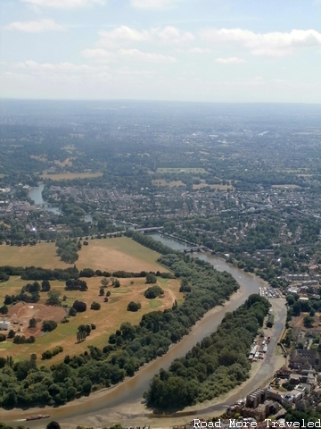
Those on the right side undoubtedly enjoyed a wonderful view of the city as our plane generally hugged the south bank of the Thames as we headed west towards Heathrow. Even on the left side, the view wasn’t exactly shabby.
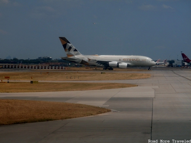
We landed a couple of minutes after that, but our flightseeing tour wasn’t done yet. It was time for one more treat as we taxiied to the gate – an Etihad A380 on a parallel taxiway.
Note: this post is part of my multi-part trip report series about my wife and I’s trip to Europe in June/July, 2015. Read the trip report introduction for an index and background about our trip.

