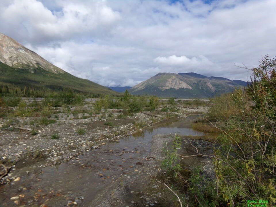
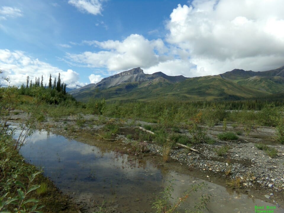
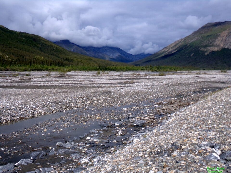
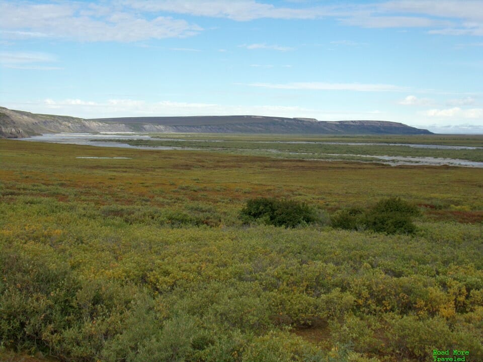
Welp…this took a lot longer than I expected to put together. Writing up a story of the magnificent Dalton Highway from start to finish turned into a chore. I initially planned to include both some tips and tricks and a review of the journey itself in one post. But it quickly headed into TLDR territory, so I decided to chop it up into two parts. For this complete Dalton Highway guide, I’m covering the journey itself. I’ll have a separate post tomorrow with some travel advice.
I’ll break this virtual tour into five parts:
- The Steese and Elliott Highways to Livengood
- Livengood to Yukon River (MP 0-56)
- Yukon River to Coldfoot (MP 56-175)
- Coldfoot to Atigun Pass (MP 175-244)
- Atigun Pass to Deadhorse (MP 244-414)
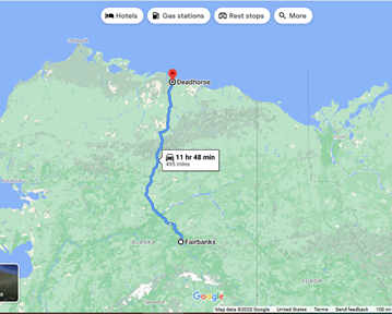
Here’s what the entire trip from Fairbanks looks like on the map.
We took five days to drive up and back in early August. On the 2nd, we drove from Fairbanks to Wiseman, a little north of Coldfoot. We spent the 3rd in Wiseman, then drove the rest of the way to Deadhorse on the 4th. On the 5th, we drove from Deadhorse back to Wiseman. Finally, on the 6th, we finished the drive back to Fairbanks.
This post is part of a larger trip report series about my trip to Alaska in August. Click here for the introductory post. Also, see this post for some tips and tricks for driving the road.
The Steese and Elliott Highways to Livengood
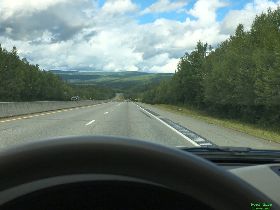
The first part of the trip follows the Steese Highway (Alaska State Highway 2) for 11 miles. The first half is actually divided highway, as you leave civilization behind for the rarely visited far north.
At Fox, you’ll leave the Steese for the Elliott Highway (still State Highway 2). The road is certainly pretty as it winds its way through the White Mountains north of Fairbanks. It’s not really any different from what you see in Montana, Idaho, etc., though.
Remember, the Hilltop Truck Stop 5 miles north of Fox is your last chance for gas until Yukon River. If you didn’t gas up in Fairbanks, do so here. Ditto if you didn’t grab a coffee or soda. The Elliott Highway is in fair condition, with some frost heaves but otherwise recently paved over. It gets fairly twisty between mileposts 20 and 40, and again between about milepost 60 and the Dalton.
81 miles later, the real fun begins as you reach the Dalton Highway.
The Complete Dalton Highway Guide – Mile 0 to Yukon River
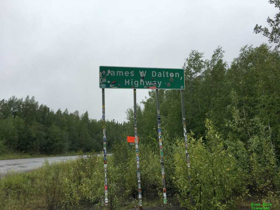
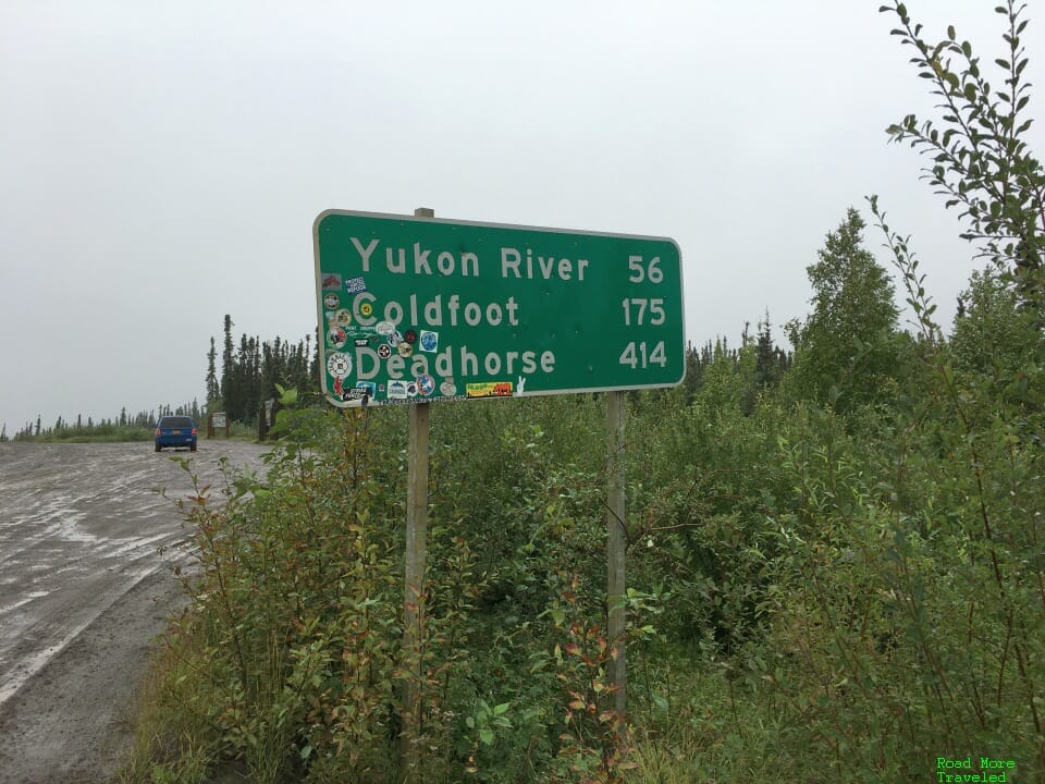
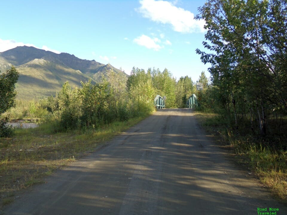
At the junction of the Elliott and Dalton Highways, bear right to begin your epic journey up the James W. Dalton Highway. (The Elliott continues on to Manley Hot Springs.) At the turnoff, you’ll find this sign marking the start of the fun.
Before continuing, I strongly advise resetting your trip odometer to zero. This will help keep track of the distance to the next landmark. More importantly, though, you can provide a more precise location if you need to call for help.
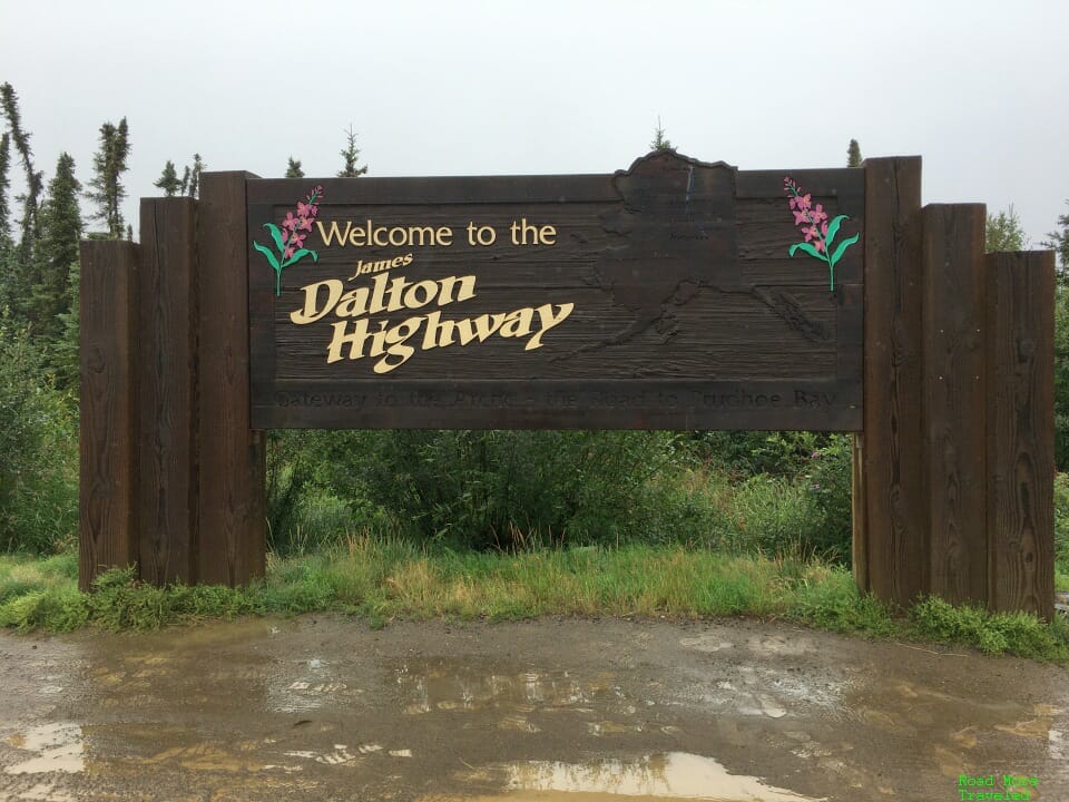
About a mile later is the “official” Dalton Highway welcome sign.
Along with a signboard showing what you’ve gotten yourself into. Perhaps to remind you that you really are crazy for planning to do the whole thing.
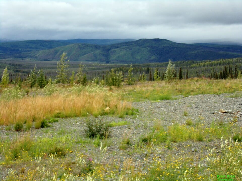
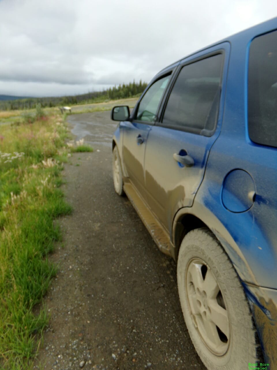
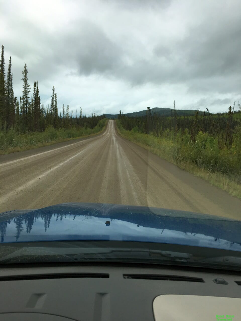
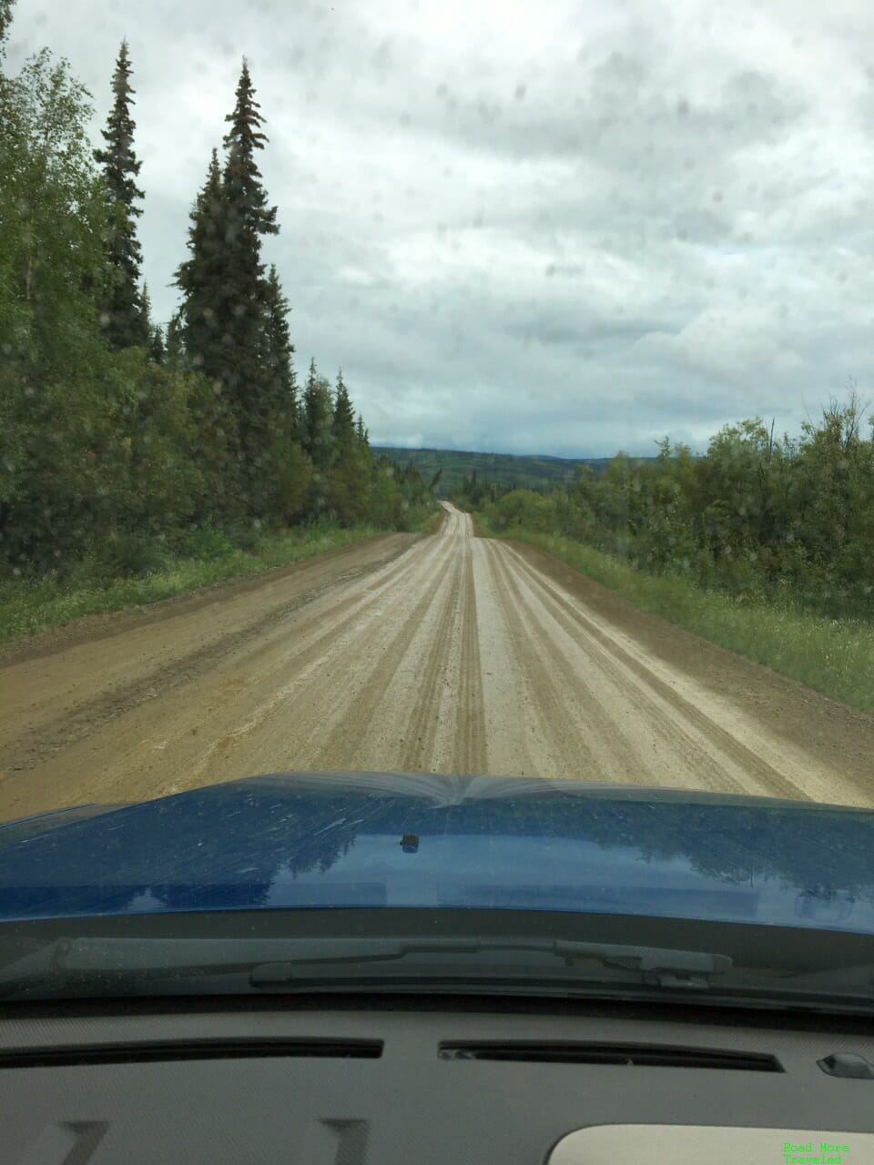
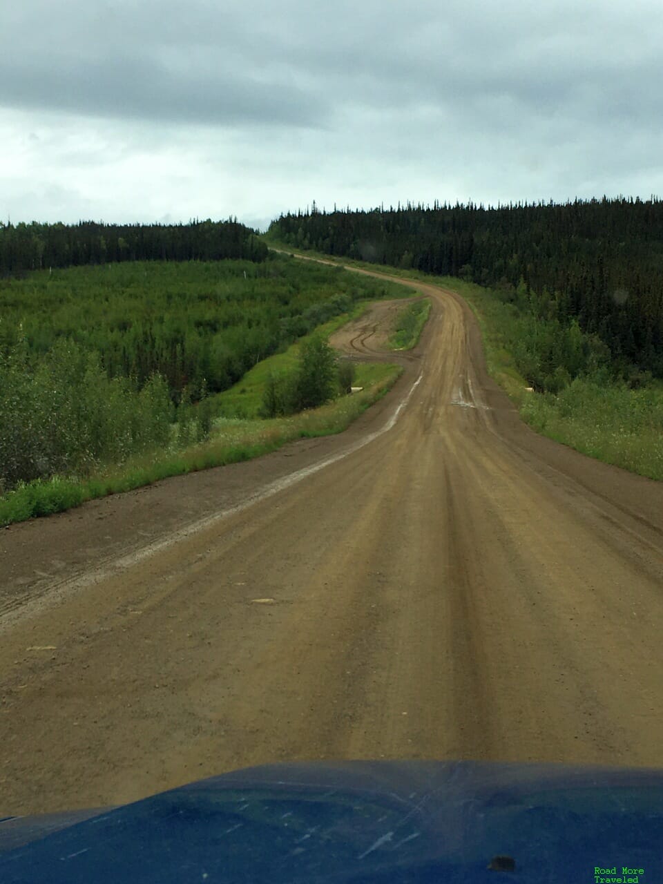
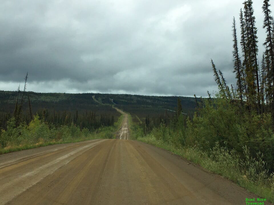
The first 10 miles or so of road rates as one of the more challenging along the entire Dalton. A series of steep grades greet you; the rainy weather that day made the going pretty slick. But I have to admit, not as bad as I expected. We maintained 35-40 mph pretty easily in our Escape through this section. After the first 10 miles, the road evens out a little, and you soon reach the highway’s first official overlook. Hess Creek Overlook at MP 21 provides a nice view of the boreal forest typical of the area. The rain let up a bit by this point, so we stretched our legs and had a bite to eat.
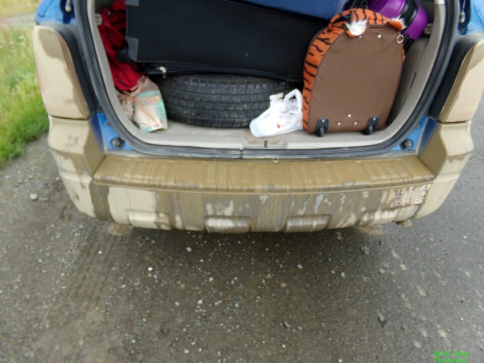
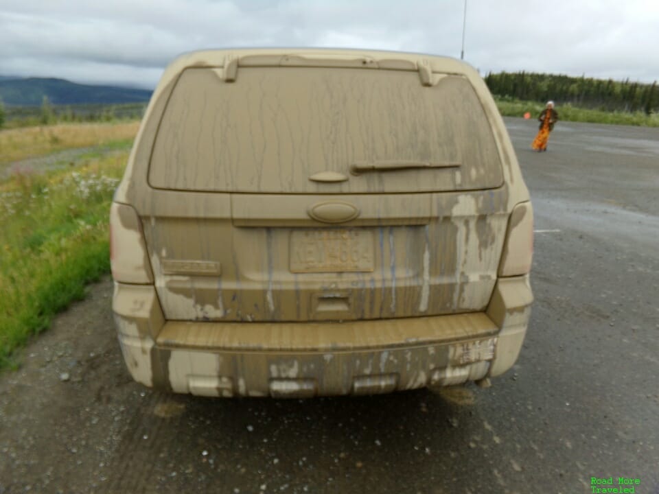
It also allowed me to survey the muddy mess that became of the rental car. Yes, this happened over all of 21 miles. Exhibit A of why I said carry window cleaner.
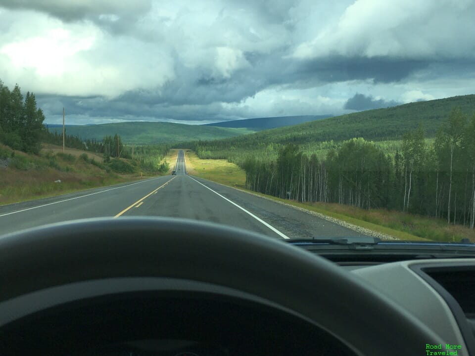
The stretch from Hess Creek to Yukon River once again gets occasionally twisty and hilly. Stay alert for trucks through here; they can appear quickly out of a curve at 50+ mph. Like the Elliott Highway, while nice, the scenery isn’t much different from the northwest US.
You also get your first real taste of paved road past MP 37.
Shortly after the pavement ends at MP 50, you begin a long downhill stretch to the Yukon River. This definitely wasn’t fun in the rain. The return on a sunny day wasn’t so bad, though.
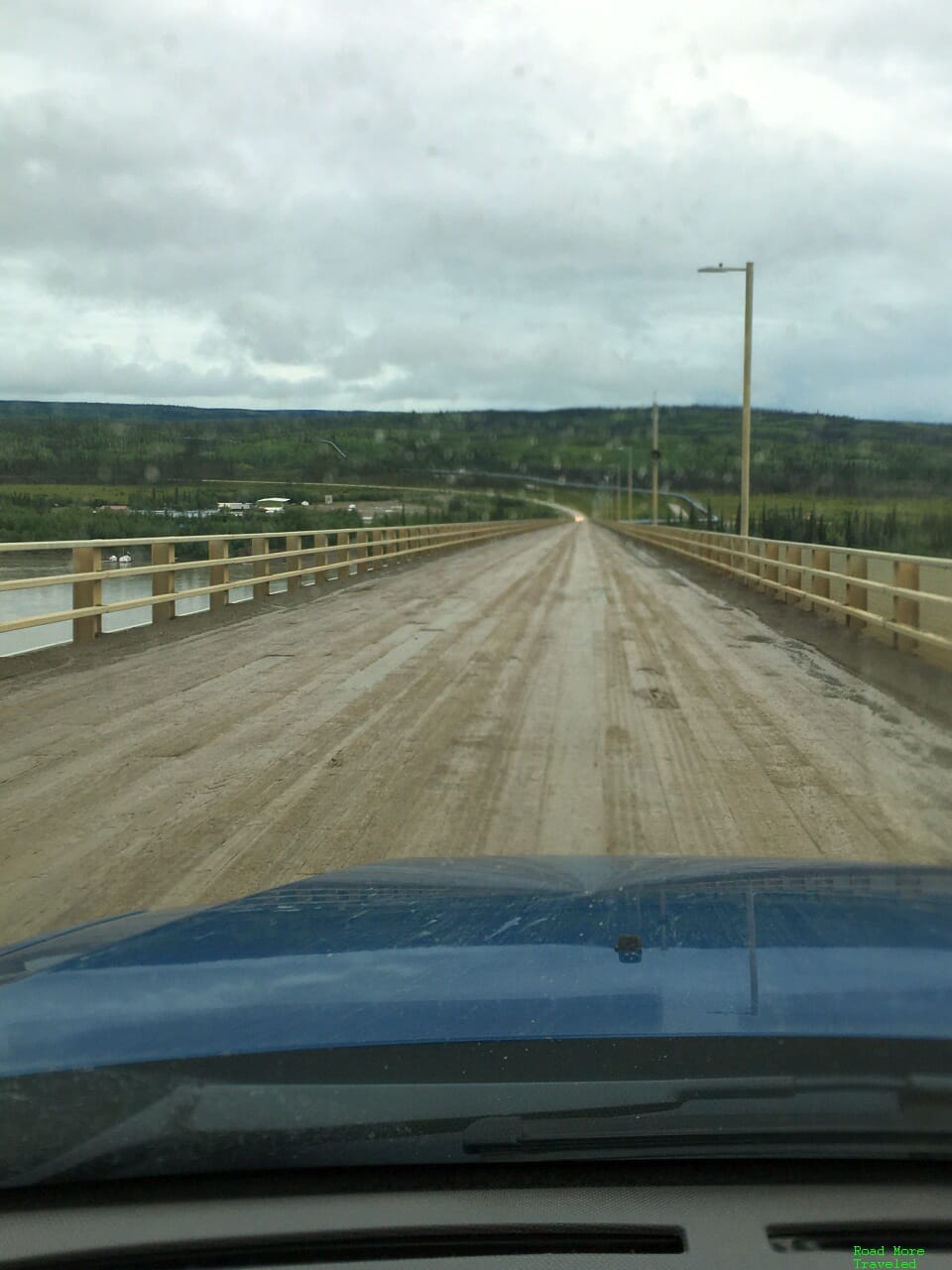
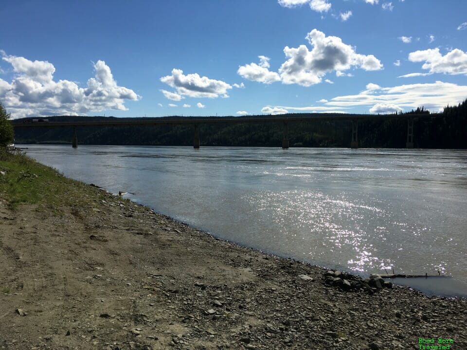
That brings you to a marvel of modern engineering, the E.L. Patton Yukon River Bridge. Completed in late 1975, it is currently the only bridge crossing of the Yukon River in Alaska. It features a wooden deck (last replaced in 2007), measures roughly 2,295 feet, and features a 6% downgrade coming from the south. The bridge also carries the Alaska Pipeline on the east side; look closely and you’ll see it branching off to the right past the bridge.
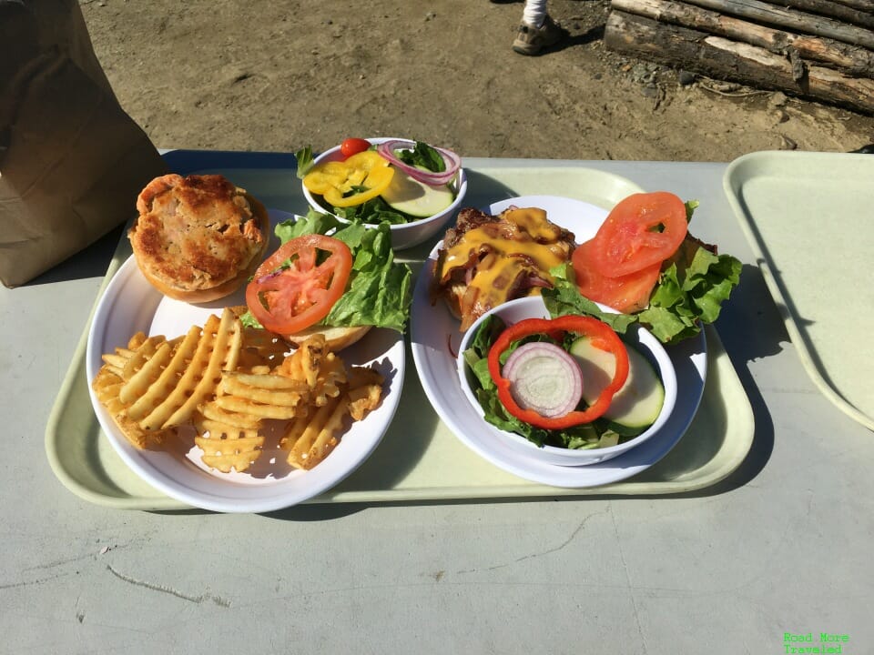
After crossing the bridge, head left for the Yukon River Camp, the first full service pit stop on the Dalton. There is gas here, but you’ll pay an arm and a leg – $5.49 a gallon the day we visited. The camp also features a restaurant. You probably don’t expect much from a short-order grill in a truck stop. But the food’s actually pretty good! I enjoyed a burger, and my wife a salmon burger. The best item on the menu here, though is the apple pie. It’s so good I got one both on the way up and the way back. I ate them both before taking a picture, though. #sorrynotsorry
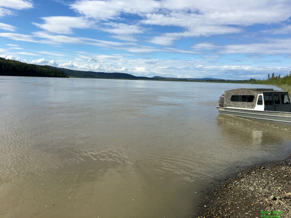
Note that as of August, 2020, although Alaska permits indoor dining, the Yukon River Camp’s dining room was closed. You can eat outside at a handful of picnic tables, and in fact, a gorgeous 70 degree day on the return beckoned us to do so. Unfortunately, the area is swarming with bees. After a couple of minutes, we gave up and took the food to the car to eat. Or, continue down the road past the camp, and you’ll find a rest area with more tables on the left. As an added bonus, you can enjoy views of the Yukon River and the bridge on a nice day.
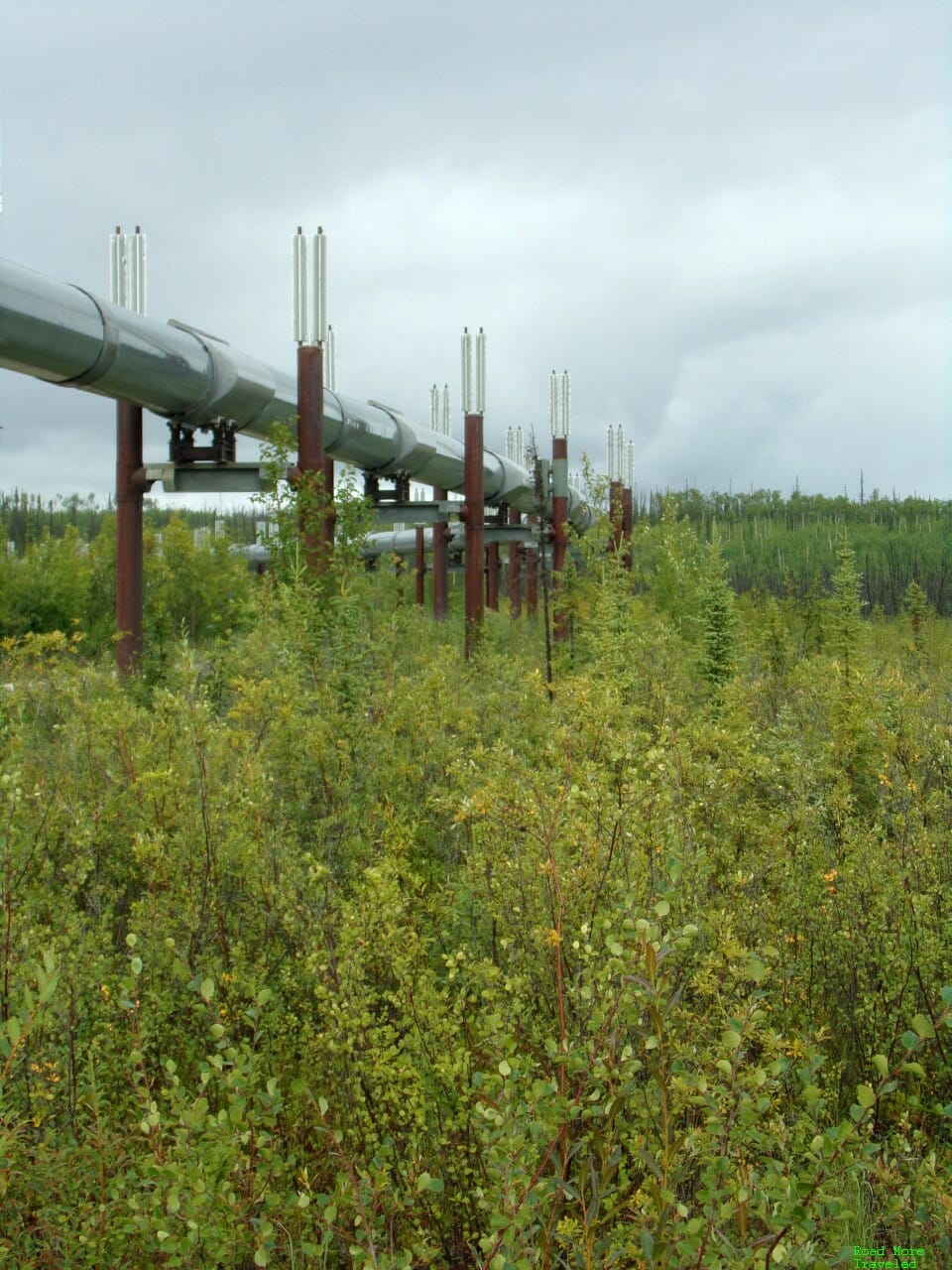
On the other side of the highway is the Yukon River Visitor Station, also with a rest area and river access. You actually get to cross under the Alaska Pipeline to access this side; this lets you get up close and personal with the enormous pipeline.
If you do decide to stretch your legs at Yukon River, DON’T forget the bug spray. The mosquitoes here are unlike any I’ve seen anywhere else, even India. Without the Off, prepare to get eaten alive.
The Complete Dalton Highway Guide – Yukon River to Coldfoot
Along the Dalton, the scenery grows more interesting from south to north; you really start seeing this past Yukon River.
Just north of Yukon River, there is a campground on the left at MP 60. A restaurant used to be here, the Hotspot Cafe. Several reviews suggested it ranked as one of the best burgers in Alaska. Sadly, it looks like the joint shut down permanently earlier this year. (If you crave the burger, the restaurant apparently relocated to Fairbanks.) However, you can still camp in the Bureau of Land Management campground next door. If you have an RV, there is a dump station at this campground.
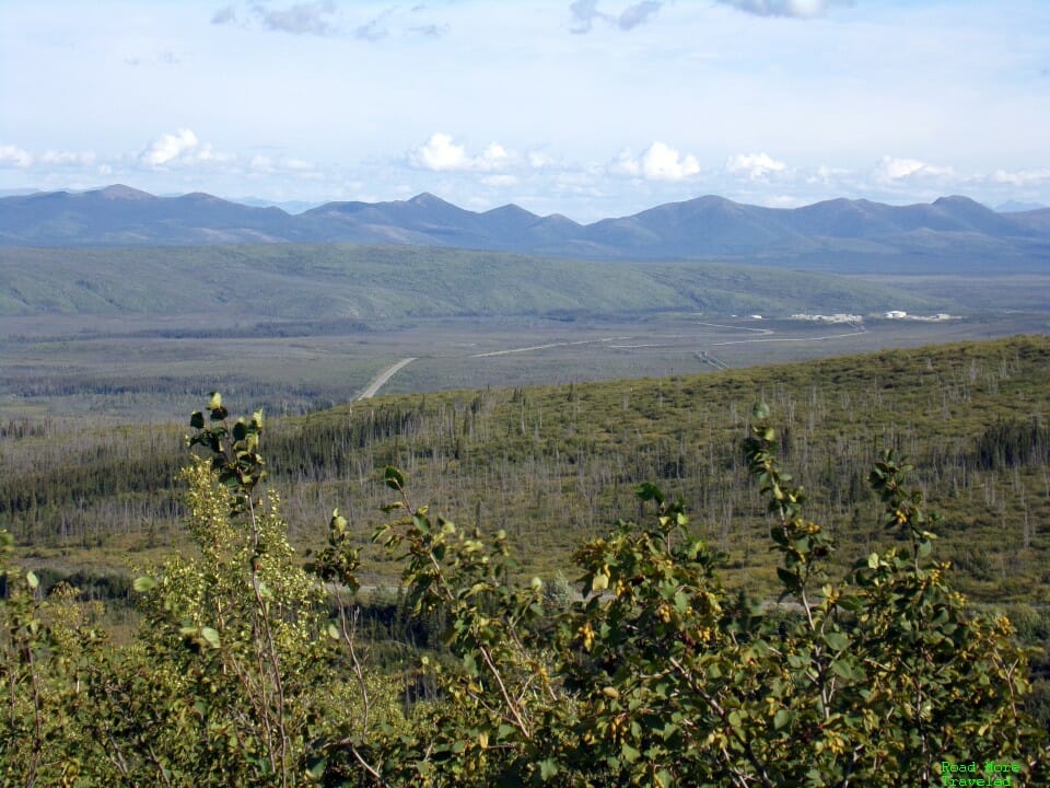
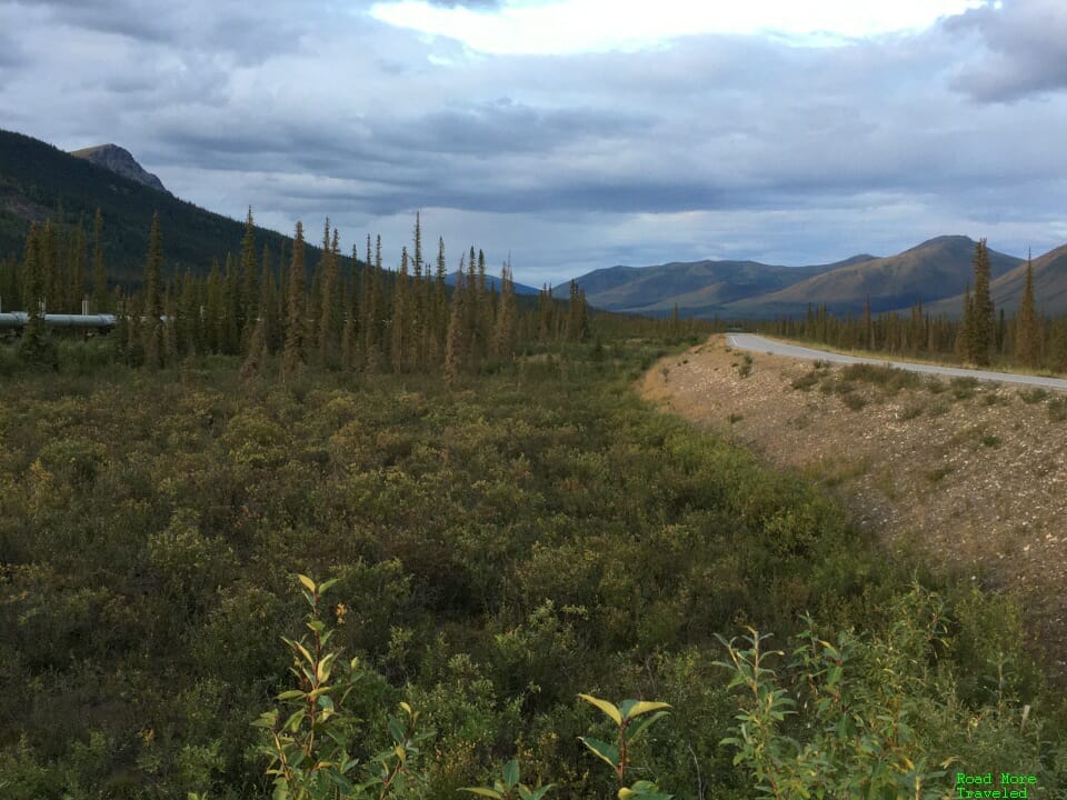
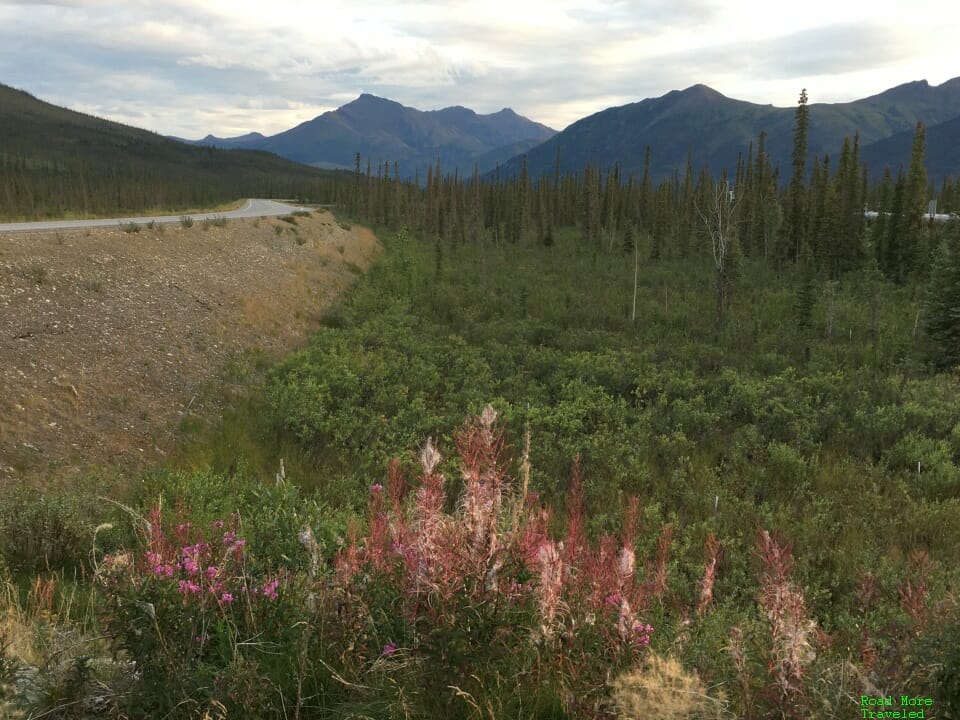
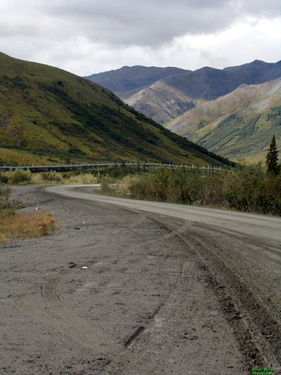
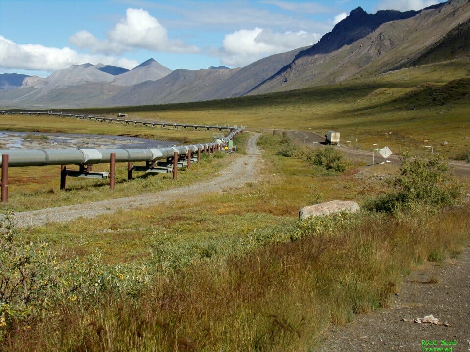
Anyway, north of the river, the trees start to thin out, which provides more expansive views of the landscape. In the second photo, you can see the Alaska Pipeline snaking to the right.
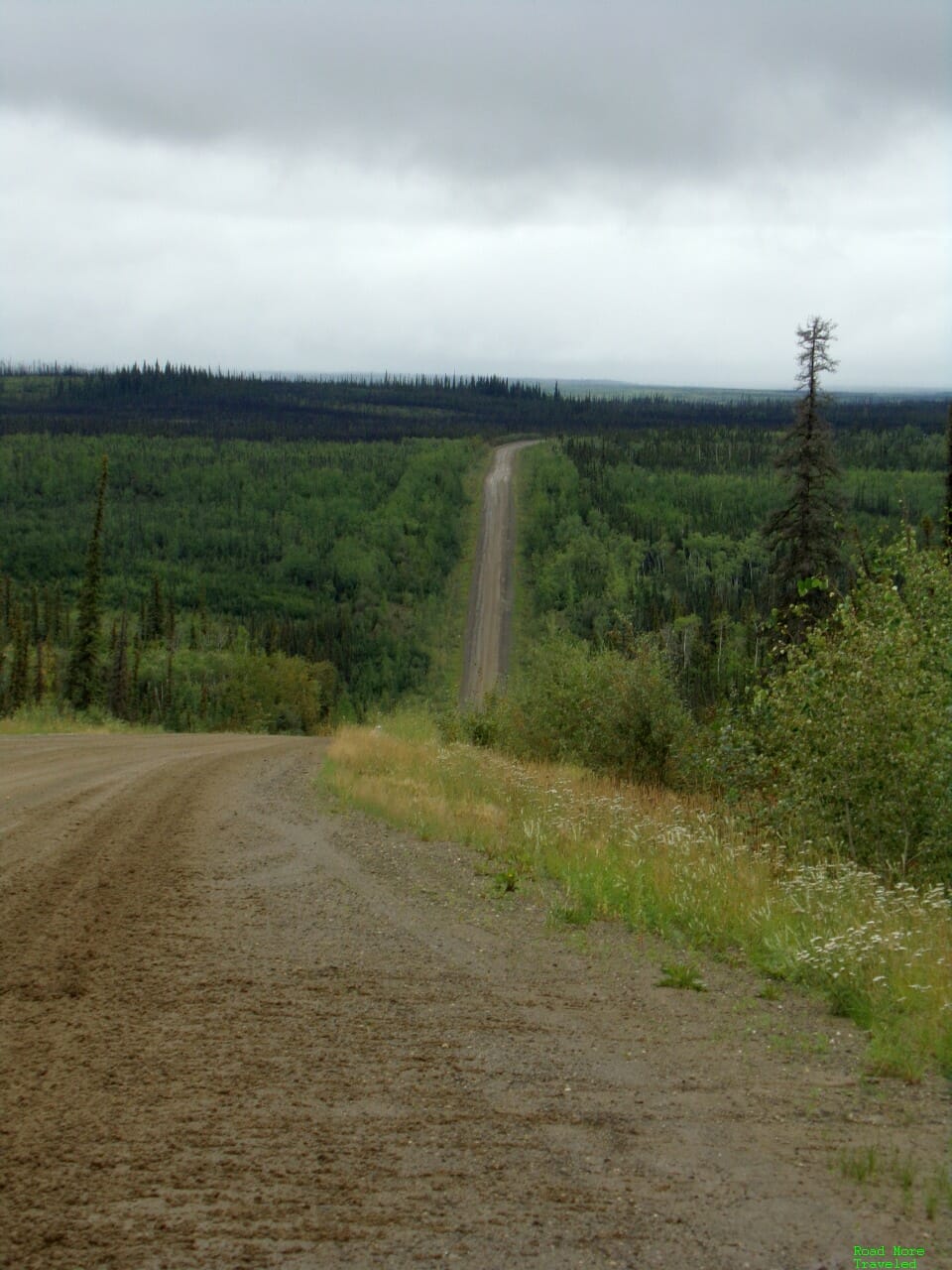
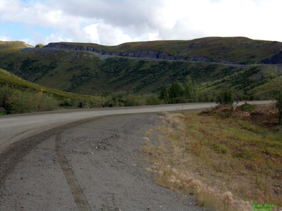
Around MP 75 is the beginning of the (in)famous “Roller Coaster”, a series of steep grades and sharp curves. This stretch creates challenges for truckers, especially in winter, but it’s not so bad in a regular car. I took this somewhere around MP 80.
Moving north, at MP 86, is the appropriately named “86 Mile Overlook”. This overlook sits a couple of miles off the highway, and provides views of the neighboring Yukon Flats Wildlife Refuge. Unfortunately I missed the turn both coming and going; it is poorly signed, so you have to watch closely for the turnoff to the west.
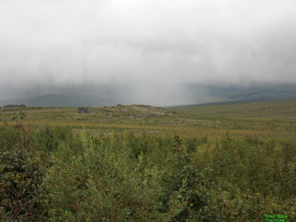
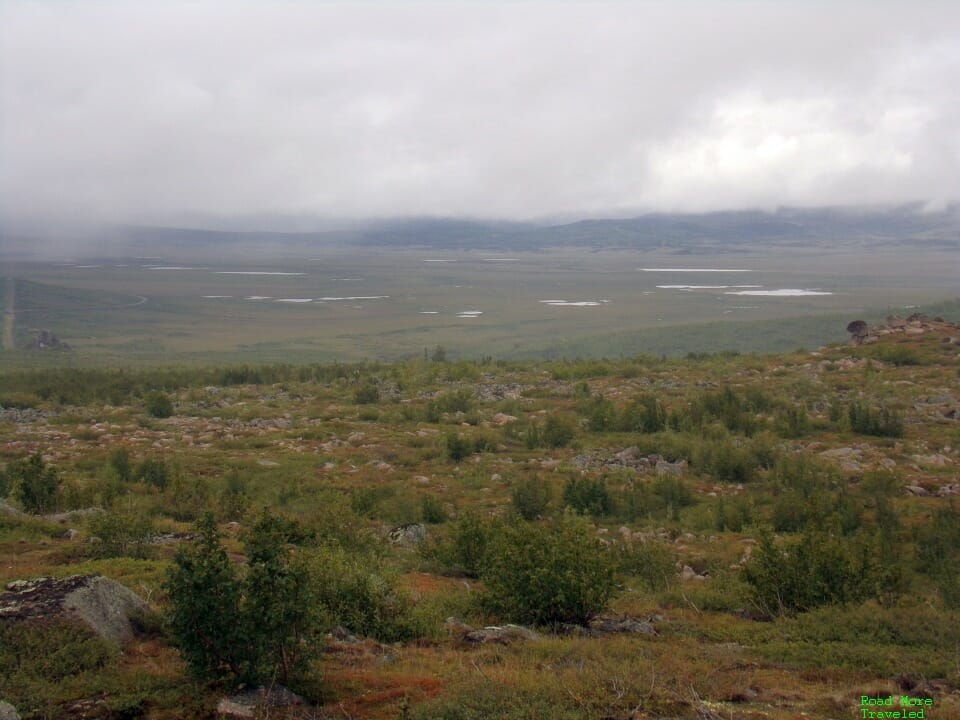
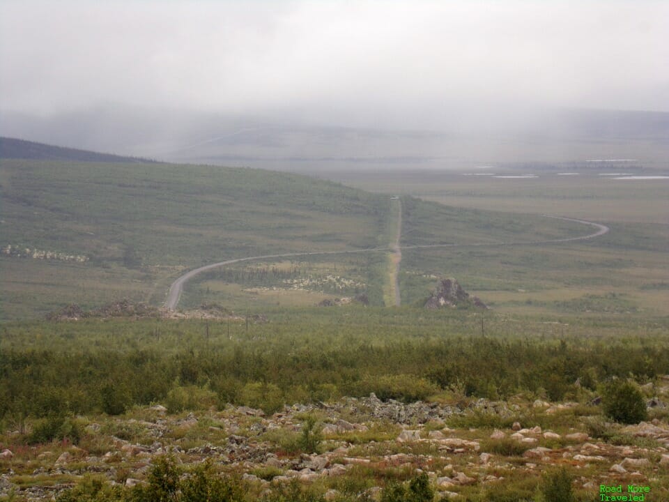
The next landmark is at MP 99, Finger Mountain. A natural landmark on the right side of the highway, it’s a rocky outcropping shaped like a finger. In addition to restrooms, there is a short hiking trail to the outcropping. This particular area lies in a clearing, thanks to its elevation around 2,100 feet. (It is also the highest point on the highway south of Coldfoot). Though the clouds and rain limited visibility, the cloudporn created a pretty scene over the rocky landscape.
At the end of the hiking trail, an overlook provides a view of the Dalton and the Alaska Pipeline below.
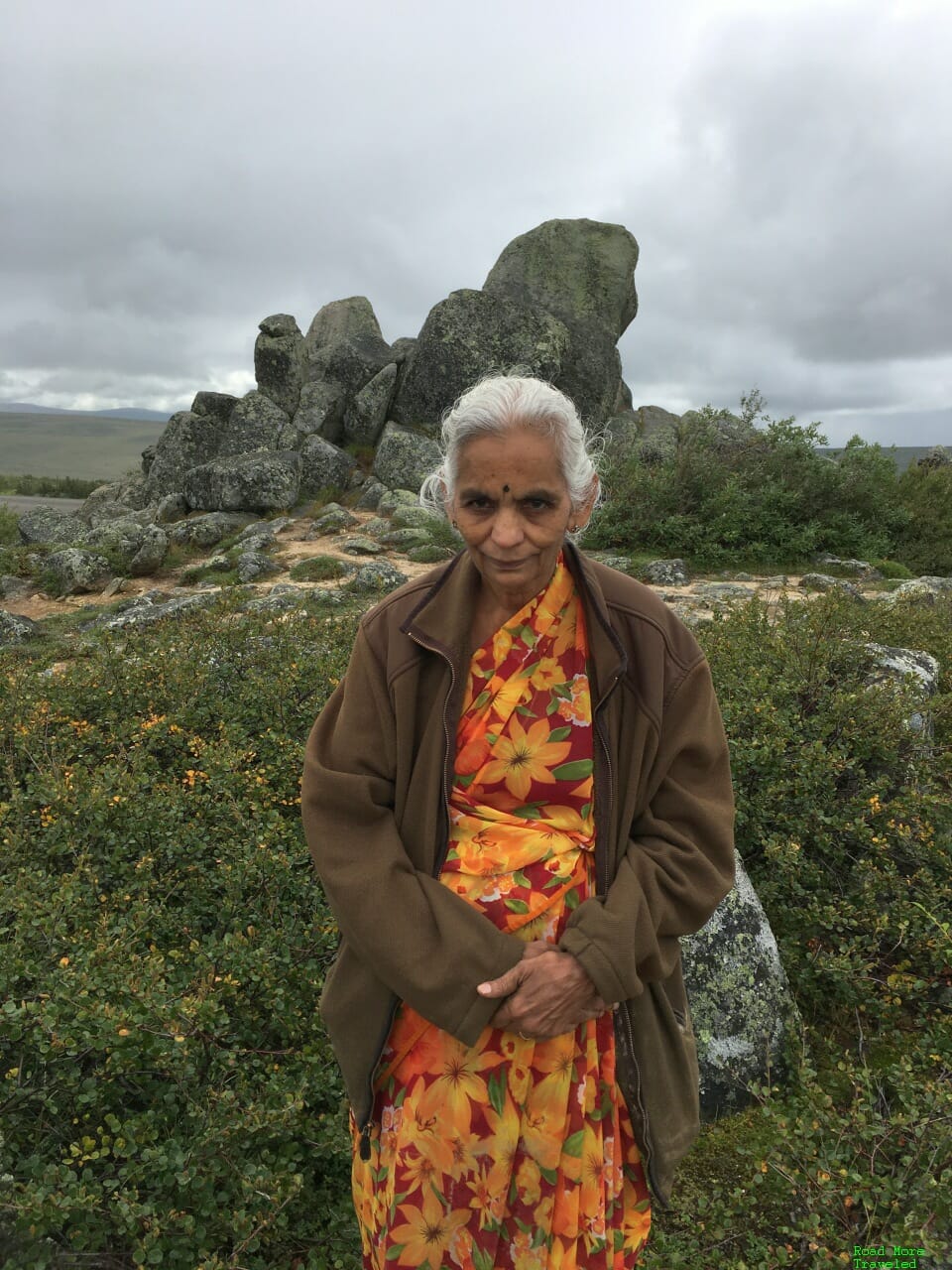
And of course, you can pose in front of Finger Mountain itself.
I enjoyed Finger Mountain, but if you’re in a hurry, the must stop on this section of the highway is 15 miles north. Because at MP 115.5, you officially begin your foray into the Arctic. The Dalton claims the title of only road in the US (and one of only two in North America) to cross the Arctic Circle. There’s also a primitive campground here if you’re ready to call it a day.
While excited, my son clearly didn’t comprehend the magnitude of the spot he’s standing on…
Another 17 miles further on is a scenic viewpoint at Gobblers Knob, a short but steep mountain pass. Watch out for the curves on the south side of the pass; they make the southbound descent a tad challenging. A scenic overlook/rest area at the top provides your first look at the Brooks Range to the north. The buildings on the right are Prospect Creek Airport. No, not a commercial airport, but an airstrip for bush planes. Prospect Creek also holds the record for coldest temperature recorded in the US. A bone chilling 80 degrees below zero on January 23, 1971.
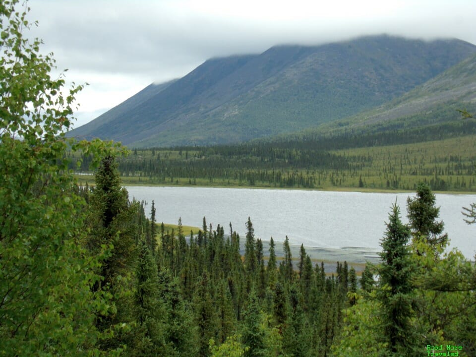
Getting closer to Coldfoot, MP 150 brings you to Grayling Lake. It’s pretty, but unfortunately, excess tree growth makes getting a clear shot of the lake difficult.
You can also see here the rather poor condition of the paved road, the frost heaves creating a real roller coaster of a ride.
About a mile further north is a better viewpoint of the marshy end of the lake. This spot is supposed to be a good one for seeing moose, though we didn’t see any.
A few miles further north, at MP 156, brings you to the South Fork Koyukuk wayside. There’s not much here except for a rest area, though this is where you really become aware you’re approaching the foothills of the Brooks Range.
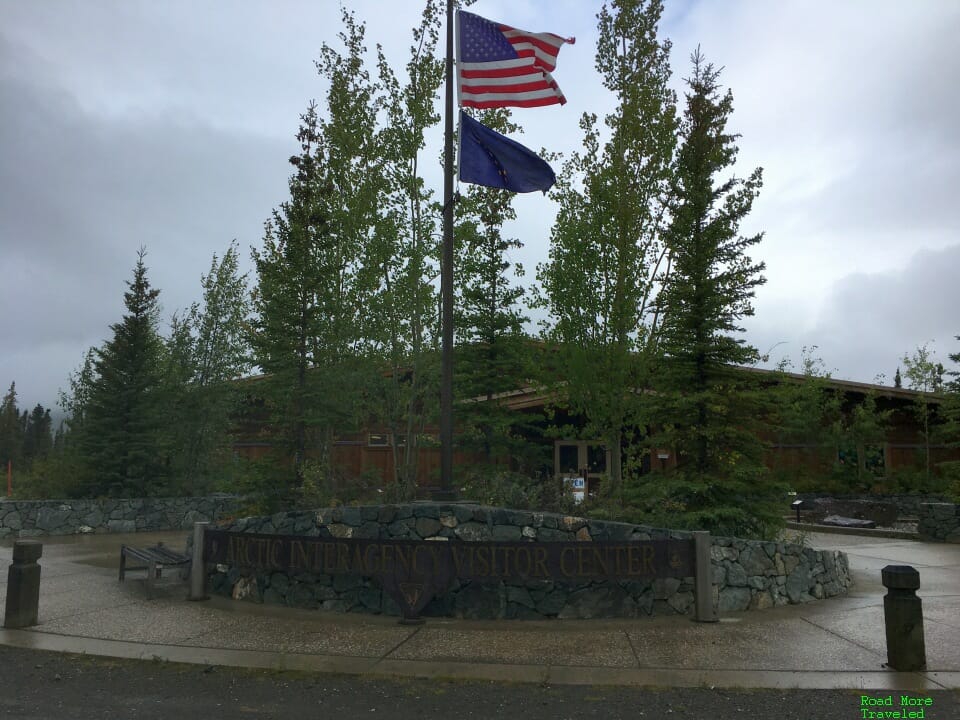
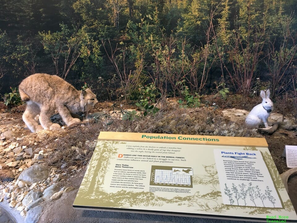
And at long last, you roll into Coldfoot at MP 175. Coldfoot is the first stop for services since Yukon River, and the last until Deadhorse. When coming into Coldfoot from the south, the town spreads out on both sides of the highway. To the left is the Arctic Interagency Visitor Center; there is a small natural history museum, along with information on Gates of the Arctic National Park and the Arctic National Wildlife Refuge. You can also follow a small trail through the woods to the highway or to a pipeline viewing platform.
My cat Hercules was most impressed with the above exhibit…
Note that on the road behind the visitor center is the Coldfoot Airport, and an Alaska State Troopers outpost. I don’t believe there is commercial service to Coldfoot, though several charter and sightseeing companies operate here. As of August 2020, sightseeing companies prohibited nonresident passengers unless you’ve been in Alaska 14 days or more.
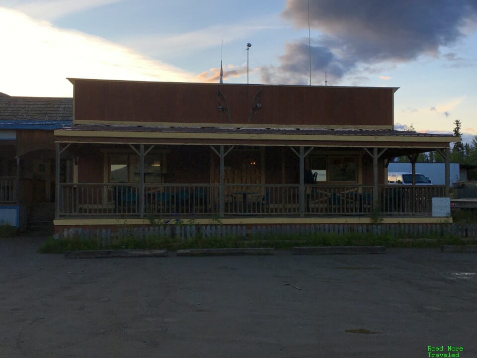
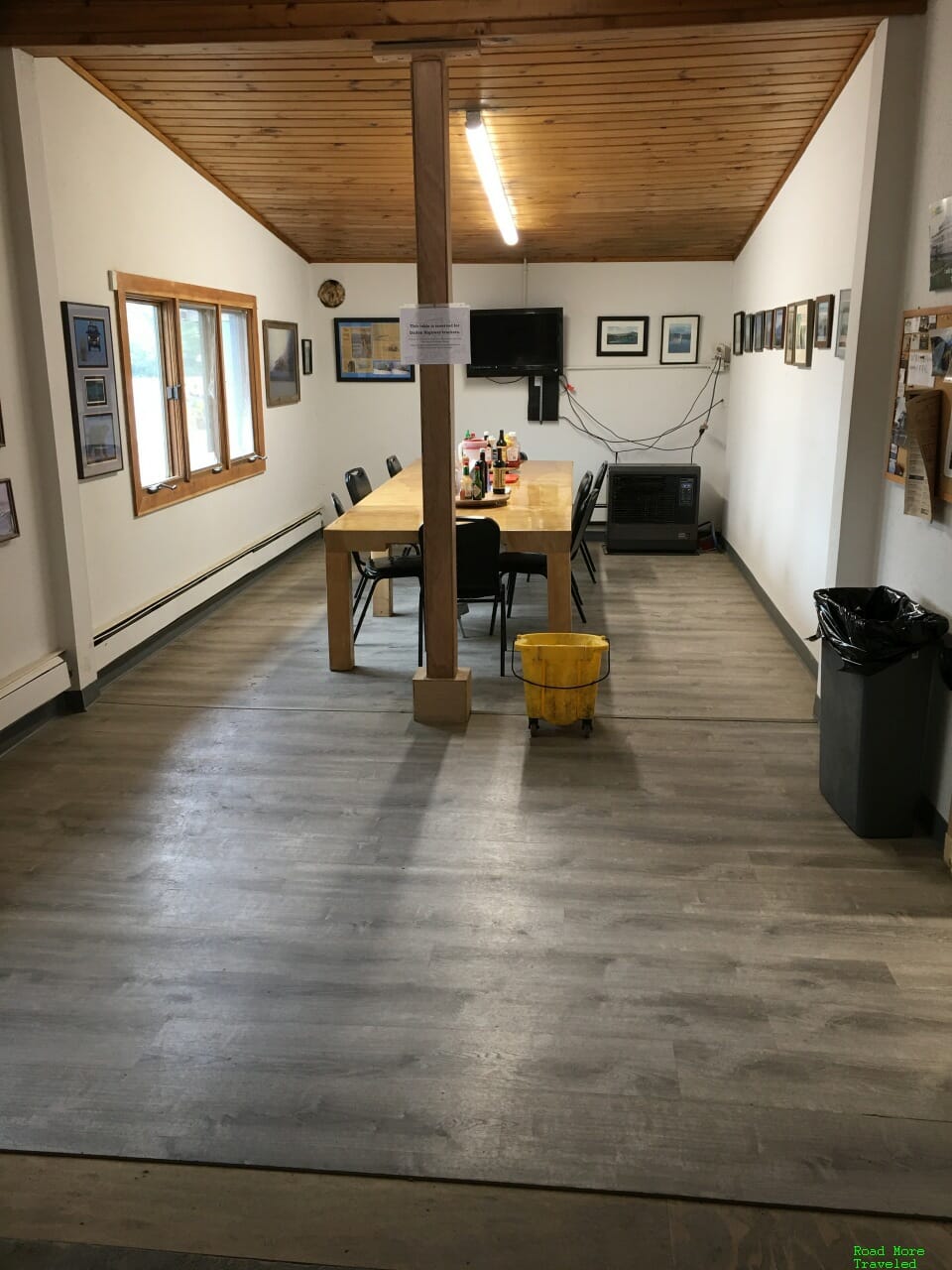
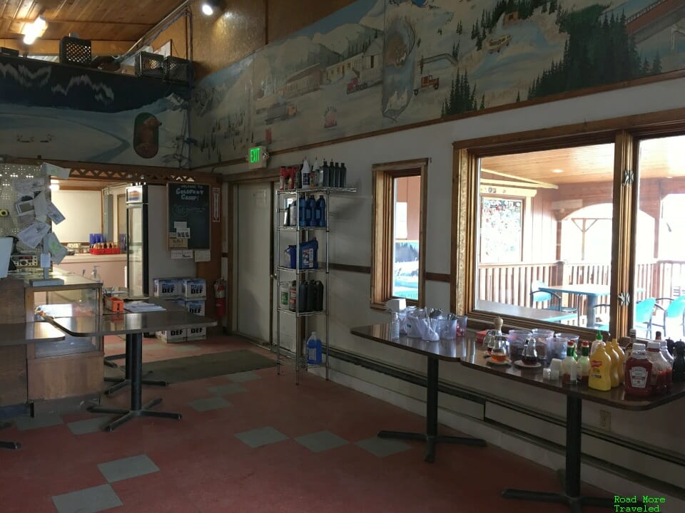
To the right is Coldfoot Camp, the self-proclaimed Northernmost Truck Stop in the World. Incidentally, it also had the “cheapest” gas on the Dalton in August, at $4.29 a gallon. If you’ve watched Ice Road Truckers, you’ll probably recognize the interior. Due to COVID restrictions at the time, truckers could sit and eat inside, but crazy tourists could either eat outside on the patio or take food to go. Summer weather is pretty pleasant usually, so an outdoor lunch is a nice diversion.
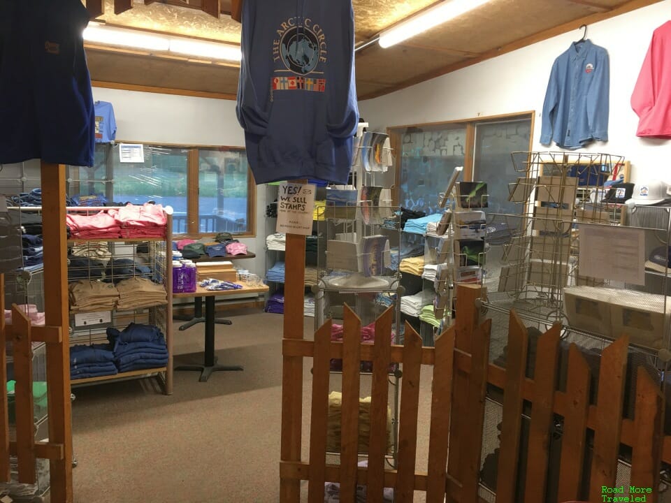
Coldfoot Camp also has a small gift shop with some tourist merchandise. There are no groceries here, but you can get a few staples like candy bars and Tylenol.
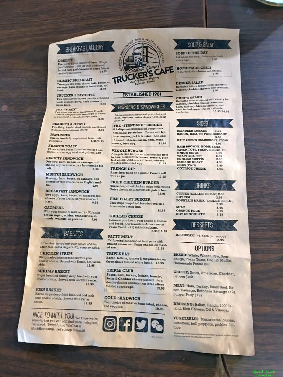
Meanwhile, yes, you can eat here. In normal years, only truckers can eat off the menu in the summer; tourists are offered a buffet instead. However, in 2020, all customers could order off the full menu.
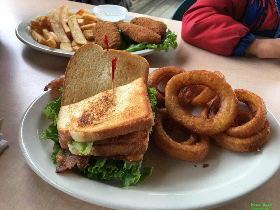
And let me tell you, the food here is really, really good. I enjoyed what might rate as the best BLT and onion rings I’ve ever had. Even my picky mother agreed the onion rings were first-rate. (I had the fried chicken sandwich for dinner, also excellent. Sorry, I forgot to take a photo.)
Just keep in mind that the kitchen occasionally runs out of items. They had no beef the first day we visited, for example. All ingredients come from Fairbanks, not exactly a short drive away. But there’s lots of good stuff here, so you’ll surely find something to your liking.
There is also a motel on the other side of the property. Prices – aren’t cheap, at $219 a night for some pretty rustic lodging. But hey, if you’re crazy enough to make it this far, what’s $200? You can also camp for free, with showers available for $14.
The views are always free, though.
Complete Dalton Highway Guide – Coldfoot to Atigun Pass
If you’re made it this far, you’ve come farther than the vast majority of Dalton Highway visitors. Most go no farther than Yukon River. But if you continue on the rest of the way, you’ll join some select company. Very few non-truckers have the guts to make it all the way north. And Coldfoot is where the road becomes the most fascinating.
As you pull out of Coldfoot Camp, a sign reminds you to go back and fill up if you haven’t. I suppose it’s also a reminder of just how crazy you are to continue on. (I’ll talk about this in my tips and tricks post, but don’t fool around here. Make sure you have enough gas to make it to Deadhorse, plus a little extra.)
The section north of Coldfoot brings you solidly into the foothills of the Brooks Range. If you happen to reach this area around sunset, you’re in for a real treat. The big Alaska sky comes alive with color in a setting of sheer solitude. (Also, the stretch from Coldfoot to MP 209 is probably the best stretch of paved road on the highway.)
At MP 180 is the Marion Creek Campground, a fully developed one with 27 sites, some for RVs.
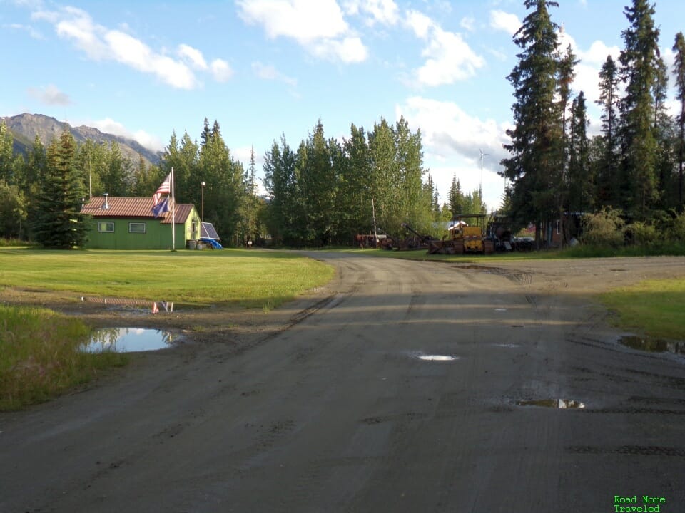
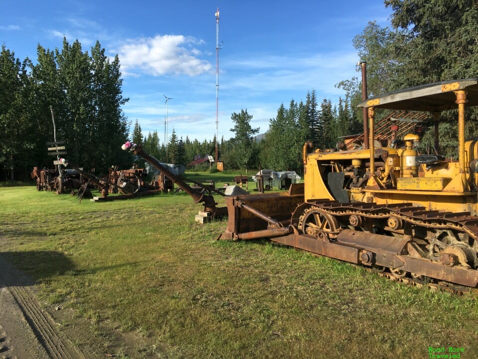
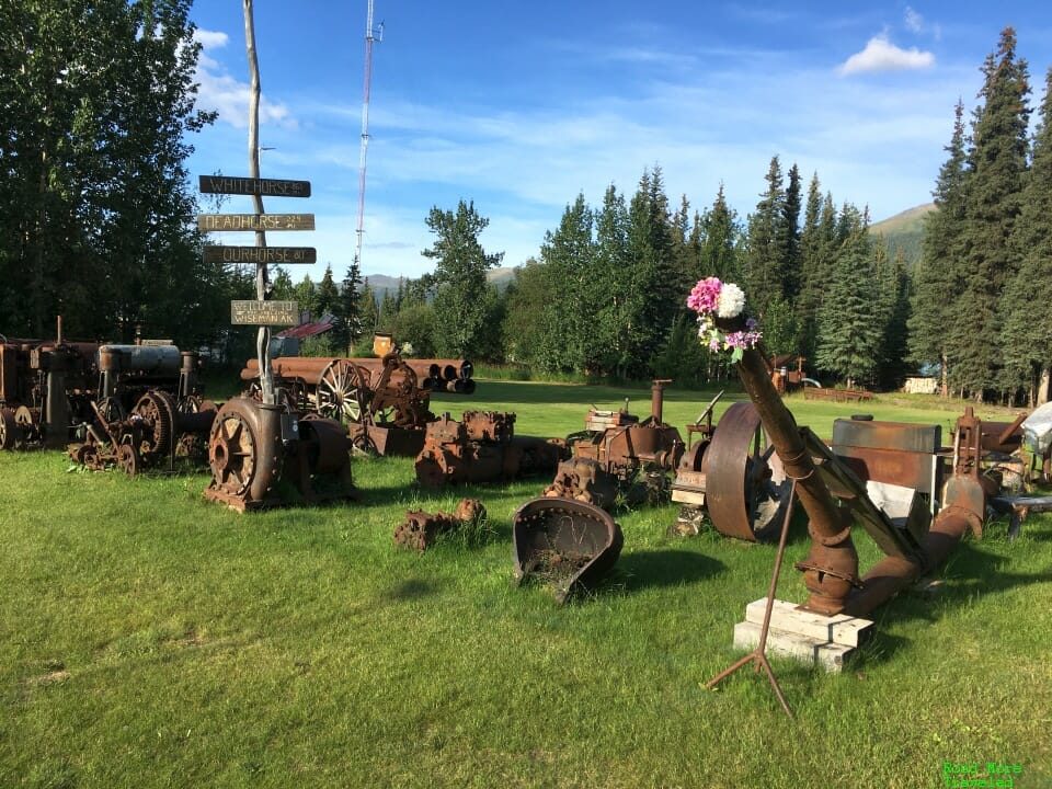
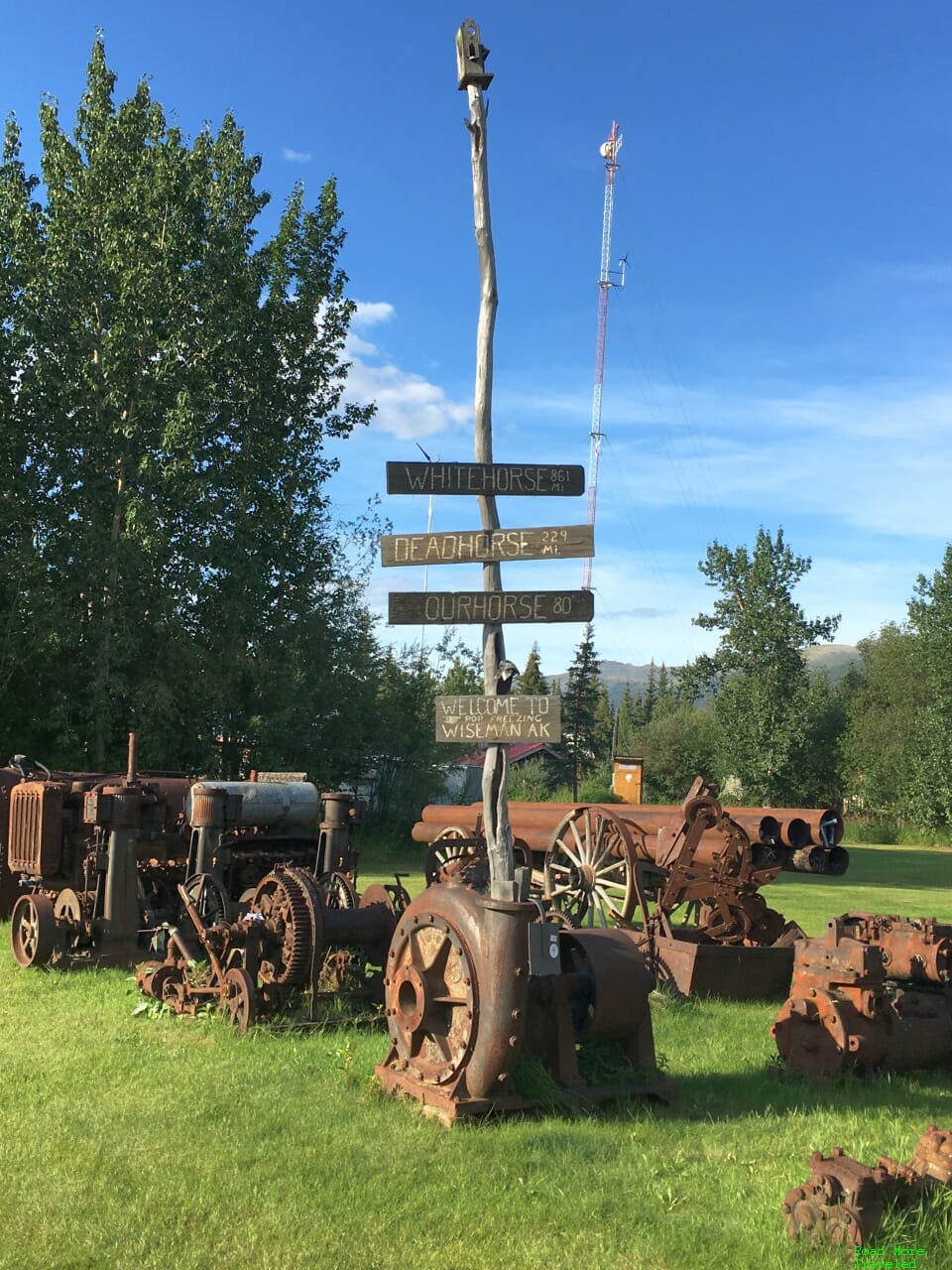
A little farther up at MP 189 is the turnoff for Wiseman. Wiseman, established in 1907, was once a thriving gold mining town. Today, it’s a ghost town with a permanent population of just 23 people. It’s also become something of a tourist trap, with some humorous exhibits of junk to celebrate its historic character.
I found this sign particularly amusing…
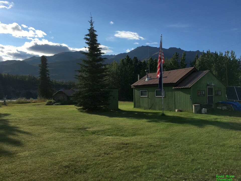
The town’s setting, of course, is absolutely gorgeous, nestled in the foothills of the Brooks Range.
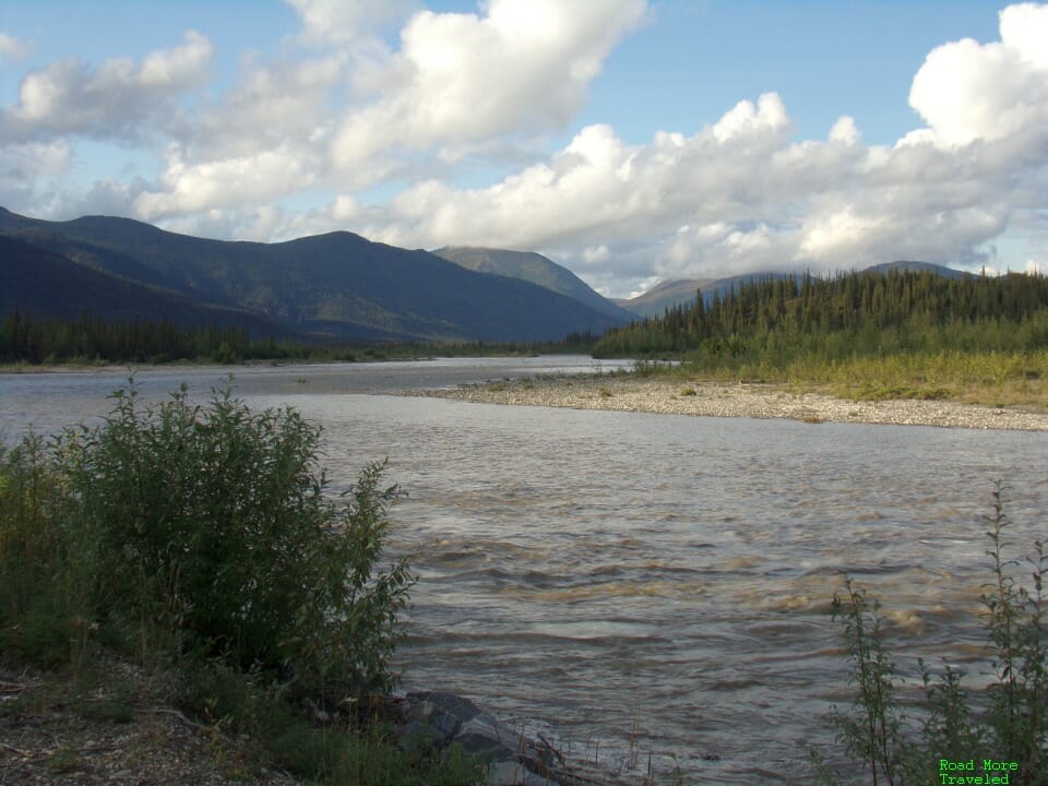
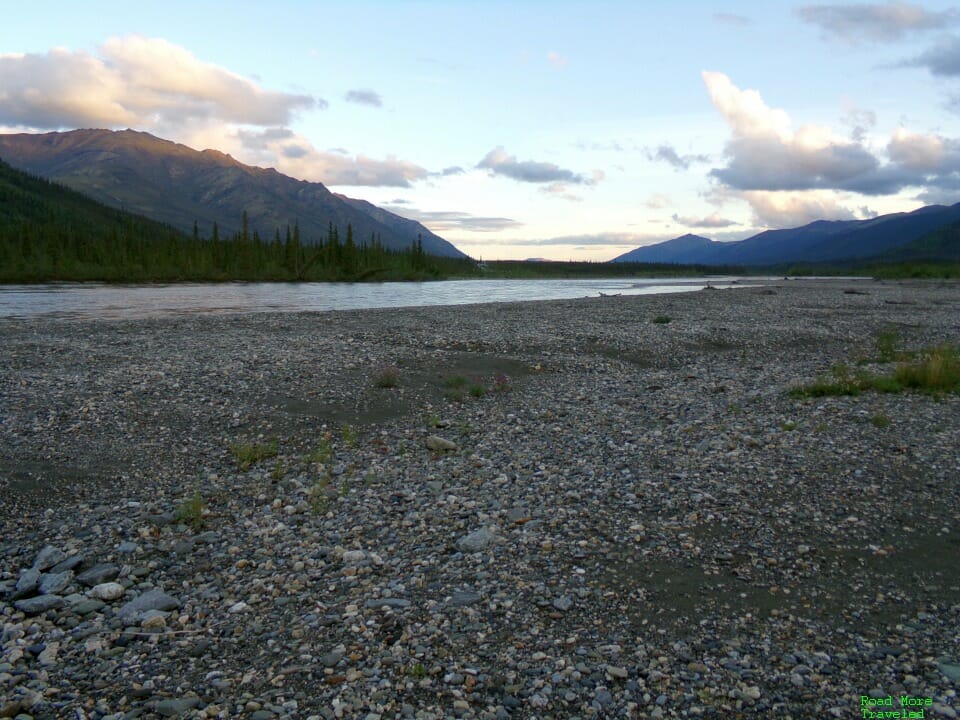
Back at the highway, turn left immediately after the turnoff for Wiseman for a nice view of the Middle Fork Koyukuk River, especially in the evening.
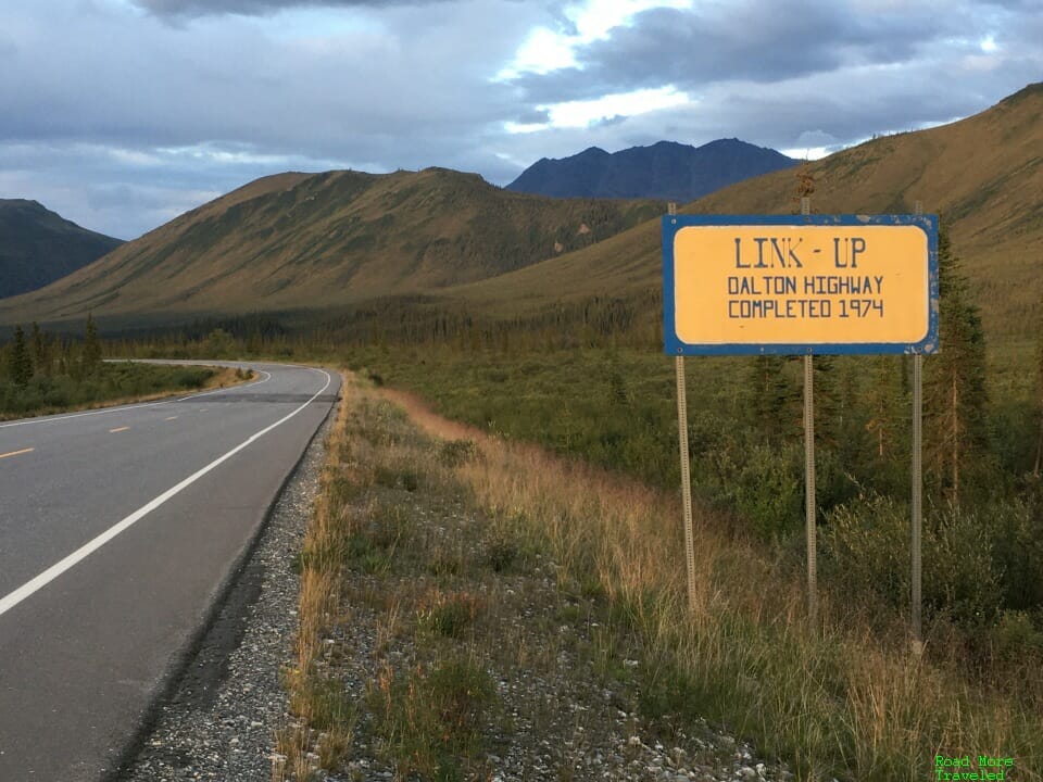
At MP 197.2 is the “Link-Up”, the point at which crews completed construction of the Dalton Highway in 1974. While constructing the road, crews worked simultaneously heading south from Deadhorse and north from Livengood. They met at this point, making it the Dalton’s “Golden Spike” point.
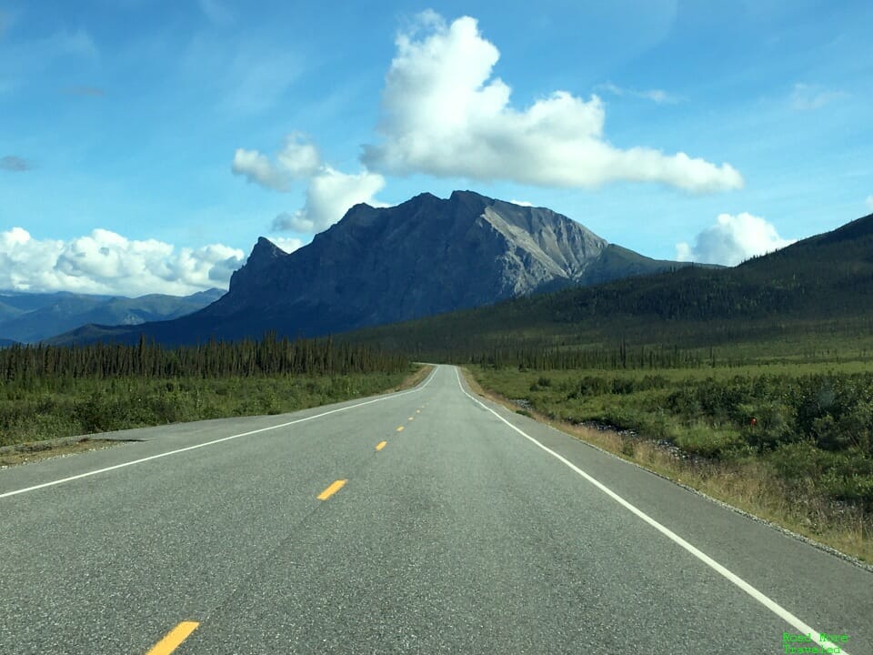
As you proceed north of here, you’ll see the giant Sukakpak Mountain looming ahead of you at MP 204. If you’ve visited Yosemite, it’s almost Half Dome-like in appearance.
North of Sukakpak, the landscape changes quite a bit as you move deeper into the Brooks Range foothills. This area also doubles as access points (by foot) to Gates of the Arctic National Park. Per the innkeeper at Boreal Lodge (who doubles as a naturalist at the Arctic Interagency Visitor Center), your best bet is to find an area with low water along the river. Then, spot a tributary creek heading west. With the park boundary only a couple of miles west in places, that provides your easiest path to the park.
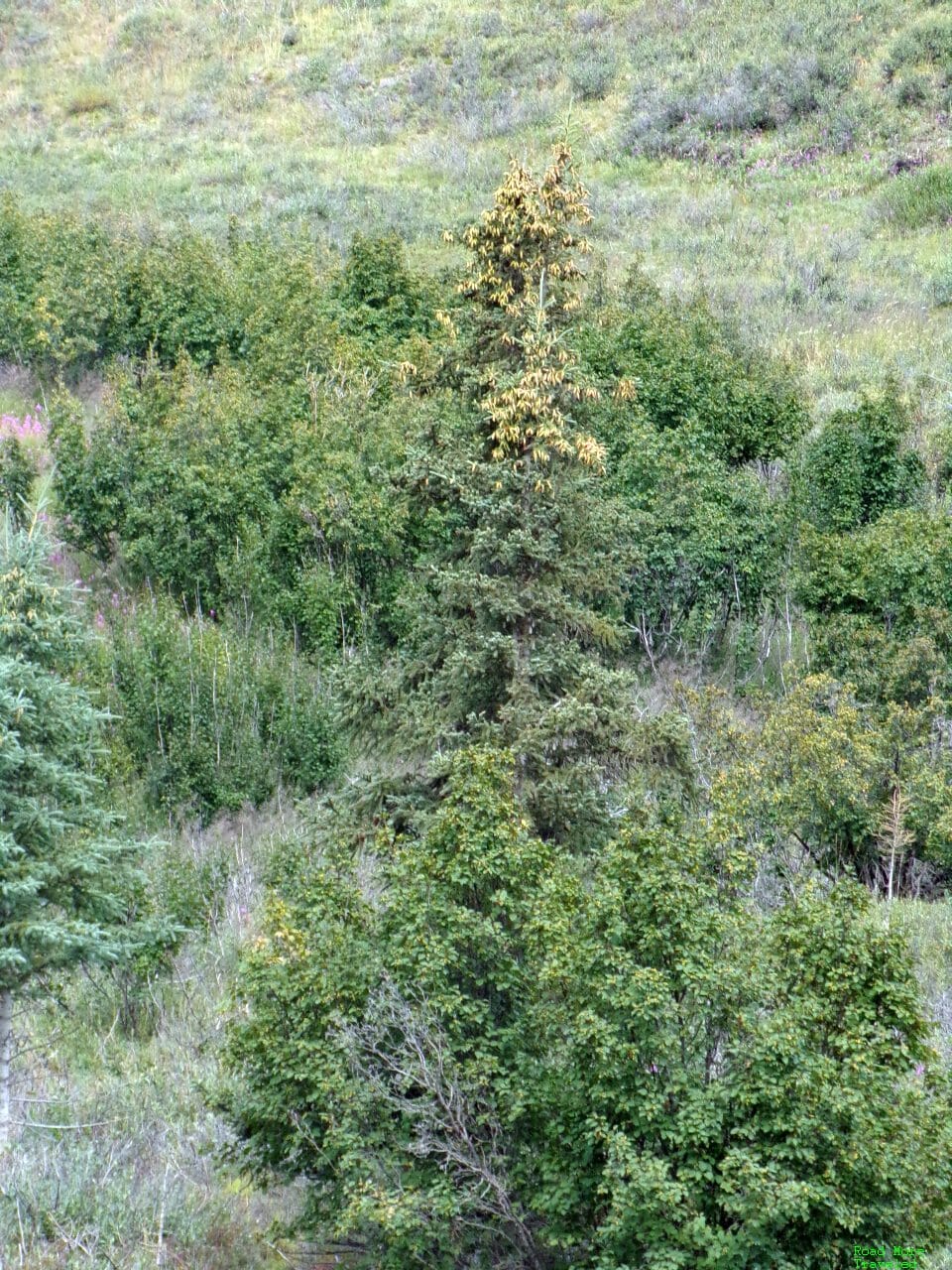
At MP 235, you finally reach the beginning of the climb into the Brooks Range. This formerly marked the site of the “Northernmost Spruce Tree”. At one time, someone literally located the northernmost tree on the highway and marked it with a sign. North of that point, no trees grow due to the extreme weather conditions and permafrost underneath. However, a vandal destroyed the tree in 2005, and the state removed it entirely sometime thereafter. I’d read the sign might still be there, but I couldn’t find it. I did, however, find what I think really is the northernmost tree, a few hundred yards north of the old sign.
The wayside today provides a welcome rest stop before proceeding up the most challenging stretch of highway. A look to the south provides a good vantage point of the pipeline to the east of the road.
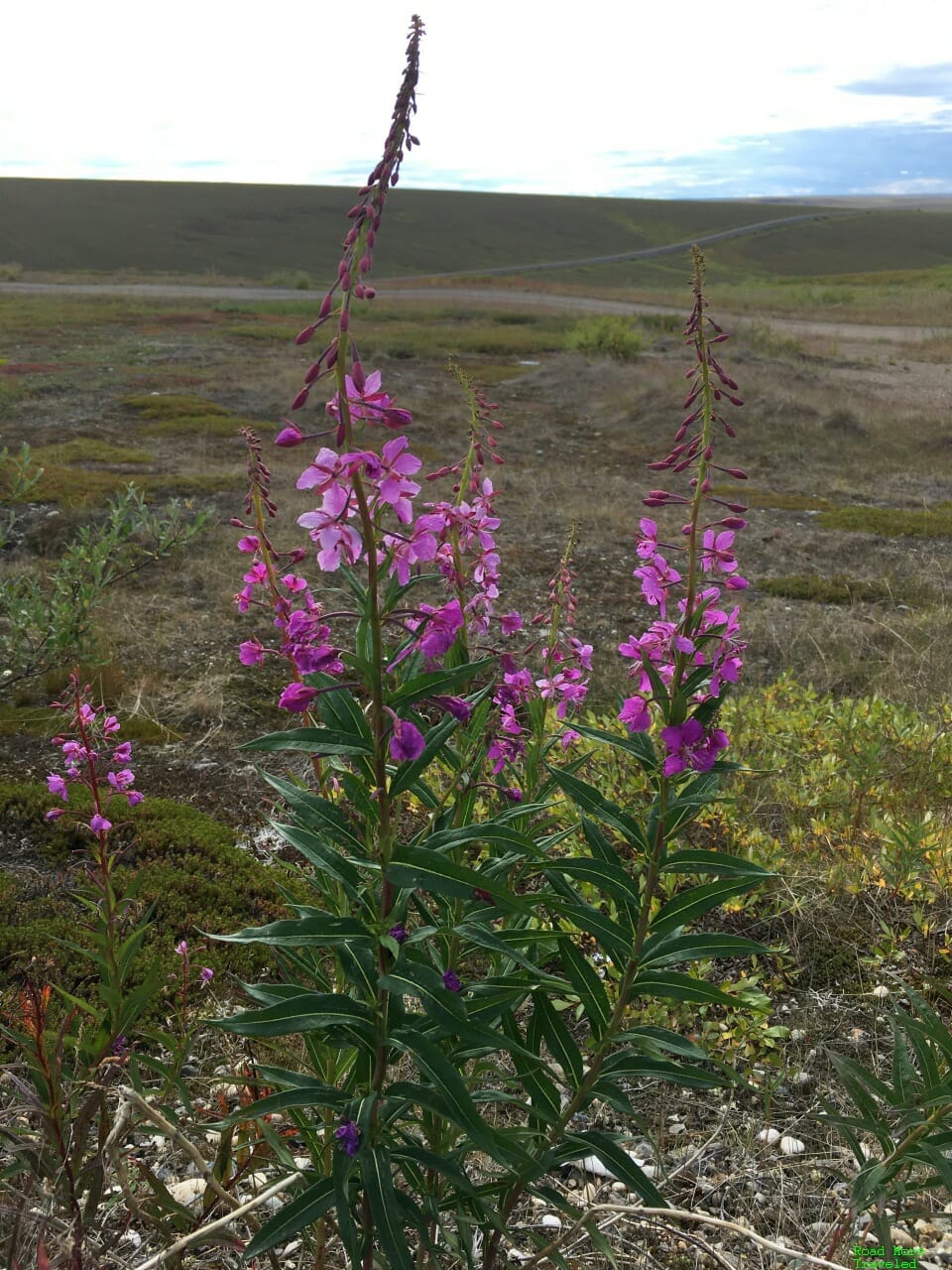
Meanwhile, in early August, we enjoyed some wildflowers in bloom.
To the north is the Chandalar Shelf, the first big climb up the Brooks Range. The two-mile long, 10% grade takes you quickly from 2,600 to 3,200 feet. If you have a CB radio, it’s good to announce yourself before heading up. At the very least, scan the climb and listen for the sound of a truck heading downhill. Always yield to trucks headed downhill; there’s isn’t much room to move over to avoid flying rocks.
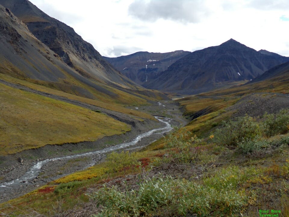
The next five miles is a simply stunningly beautiful landscape. Although you’re only 3,200 feet up, you’re above treeline due to how far north you are. The only place I’ve seen like this in the Lower 48 are some alpine areas above treeline in the Rockies. But there, you’re usually above 11,000 feet.
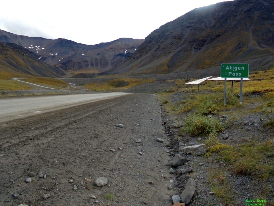
Finally, at MP 242, you reach the base of Atigun Pass. The pass, at an elevation of 4,739 feet, is the highest road pass in Alaska. It’s also the only road crossing of the Brooks Range. There’s usually a sign here, but I guess the wind blew it away.
Looking south, here you can see a truck beginning the long slog up the pass.
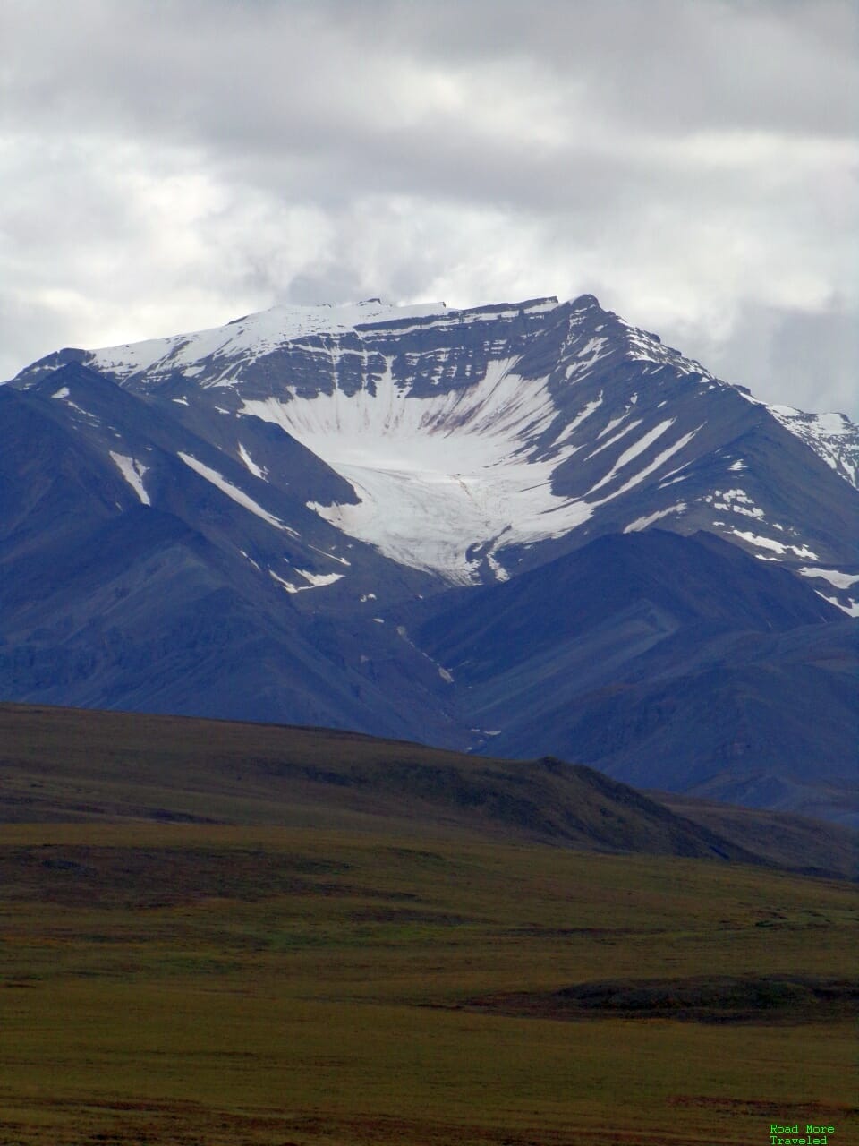
Once you reach the summit of the 12% grade at MP 244.7, the wondrous peaks of the Brooks Range greet you. This also marks the Continental Divide, with rivers north draining to the Arctic Ocean; those south head to the Bering Sea or the Pacific. Surprisingly, there’s no sign marking the summit or the divide.
Note that whether you’re headed north or south, prepare for a steep grade headed downhill. Remember, don’t ride your brakes. Also, keep in mind that snow can occur on Atigun Pass any time of year. A little snow actually did occur the day before we made the climb.
The Grand Finale – Atigun Pass to Deadhorse
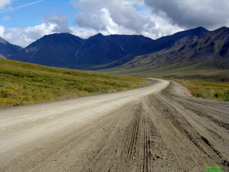
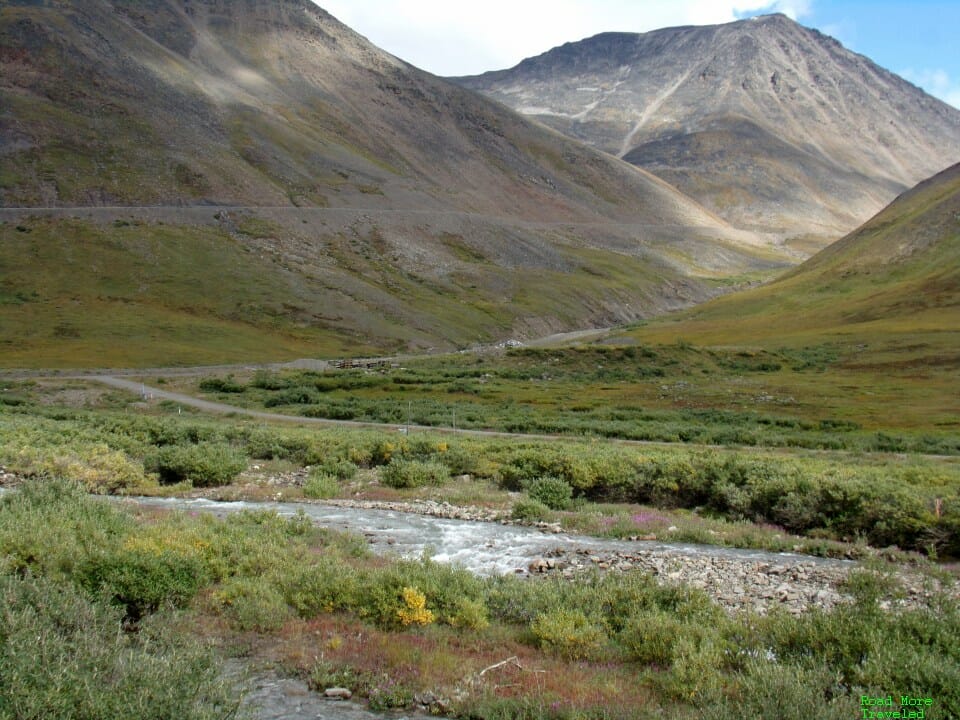
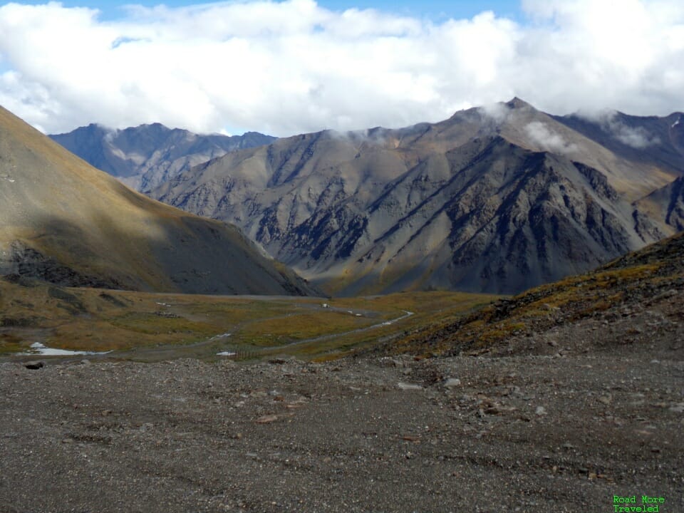
On the north side of the pass, a whole other world awaits you. The drier north slope of the Brooks Range looks like something you might find in Tibet. I found this perhaps the most fascinating scenery along the entire road.
Looking back to the south at the foot of Atigun Pass, you can see the steep climb back up into the mountains.
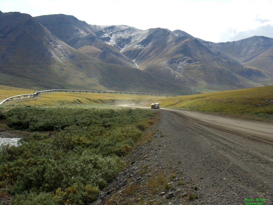
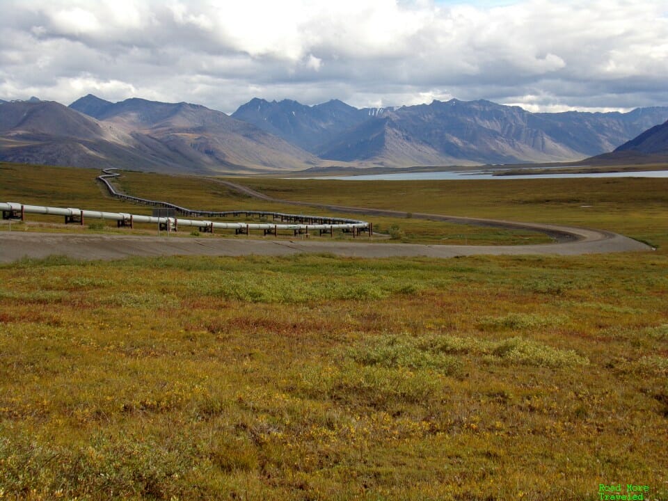
The stretch from the bottom of Atigun Pass to Galbraith Lake, at MP 275, also provides your best vantage points of the Alaska Pipeline.
Speaking of Galbraith Lake, this glacial lake is definitely worth a stop for photos, if nothing else. There is a large campground here, about 4 miles off the highway. Also, in the vicinity of Galbraith Lake, the Arctic National Wildlife Refuge (ANWR) lies only a few hundred feet east of the highway. You can park on the side of the road and hike in if that interests you.
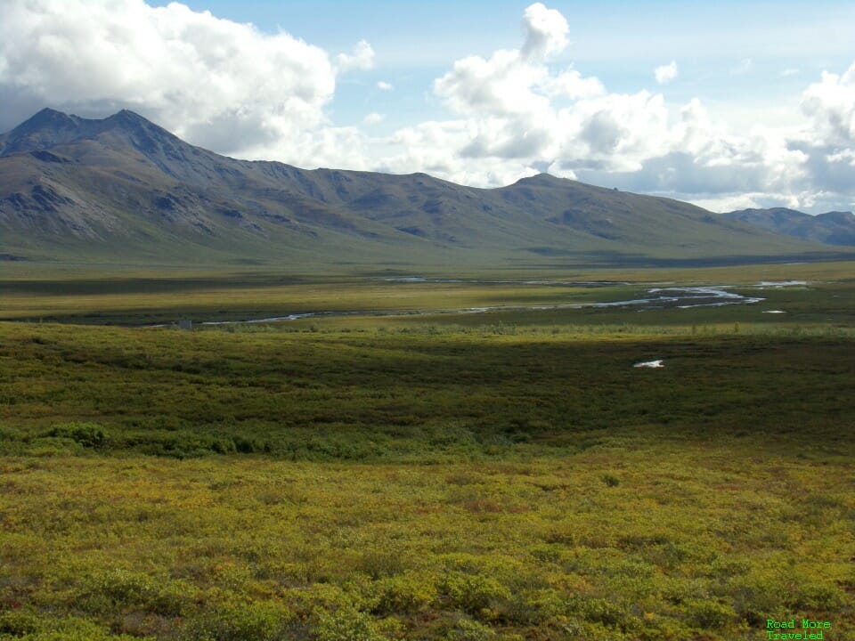
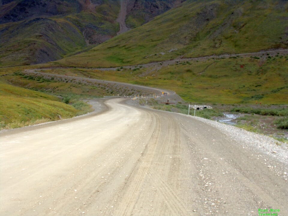
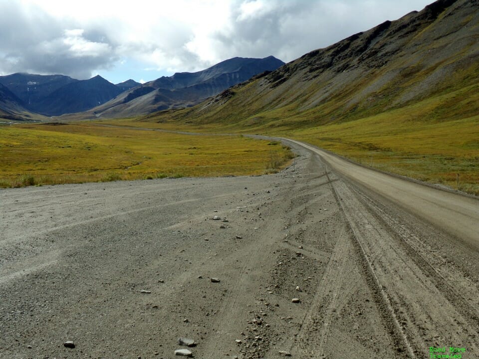
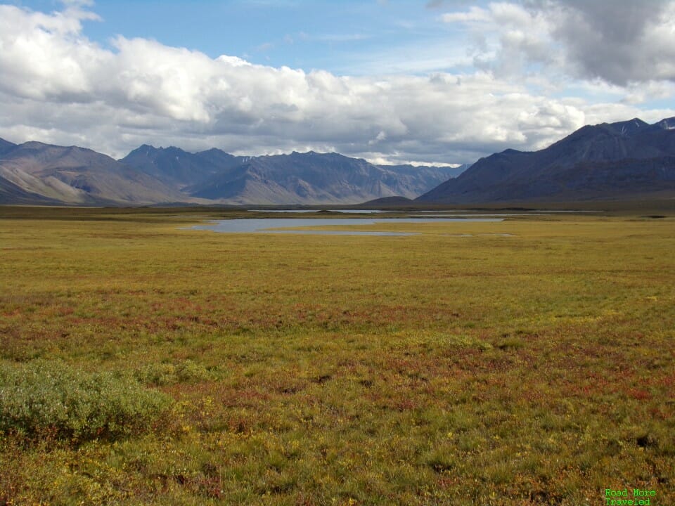
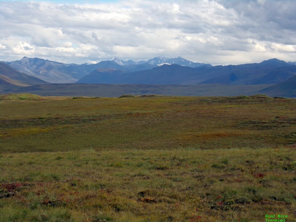
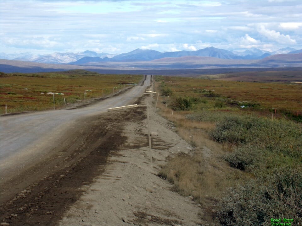
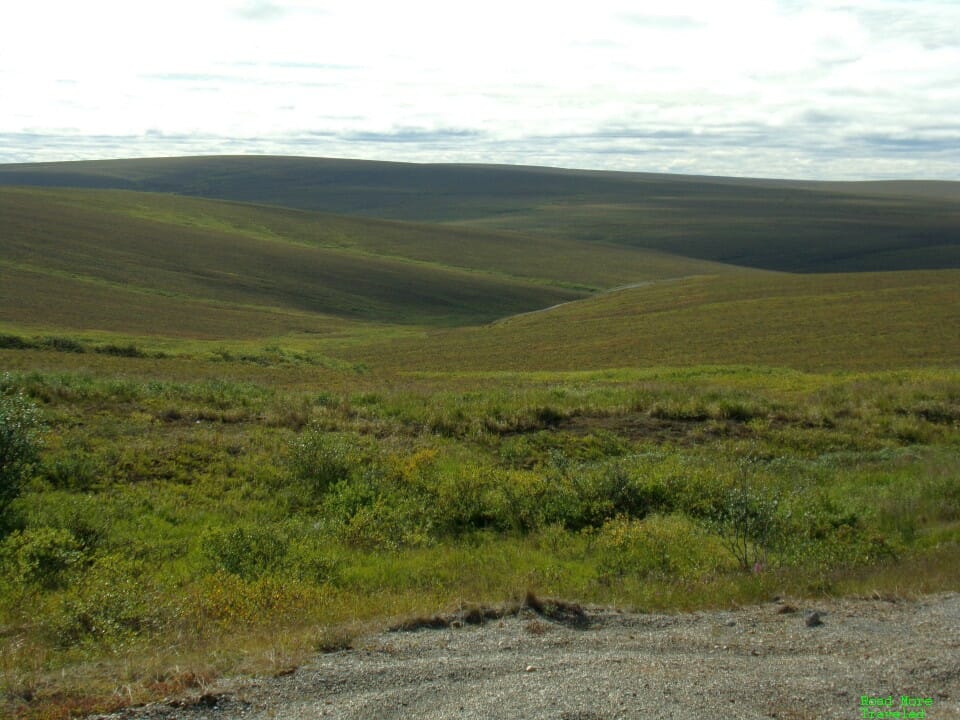
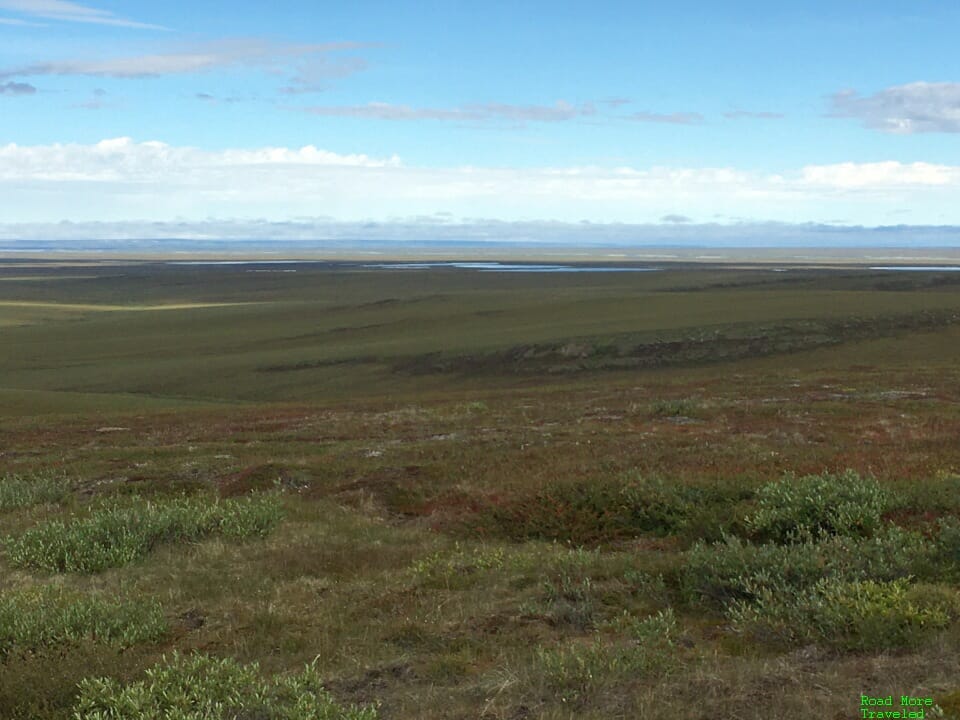
I can’t recall exactly where this is, but it’s somewhere between MP 275 and 284, I think. A small turnout on the east side of the road gives you a terrific view of the Arctic tundra and Brooks Range. And the undulating gravel road, of course.
Nine miles north at MP 284 is Toolik Lake. A climate research station here is not open to the public, but you can access the lake for recreation.
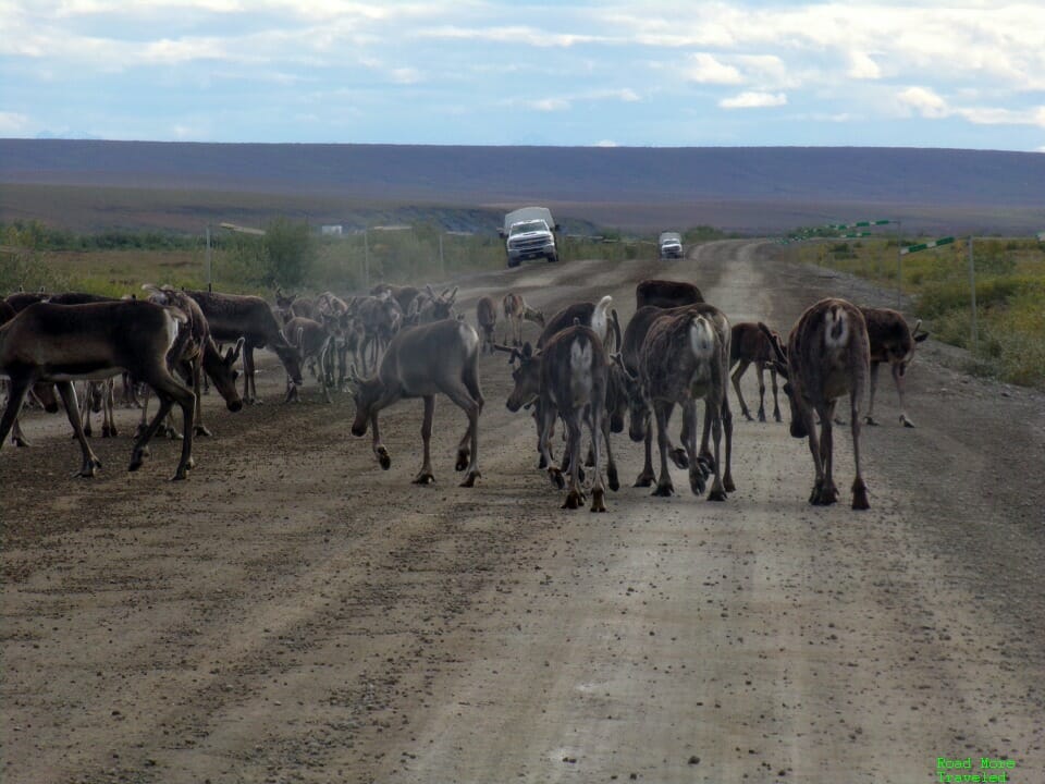
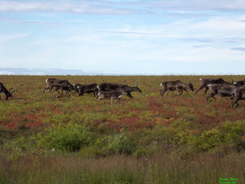
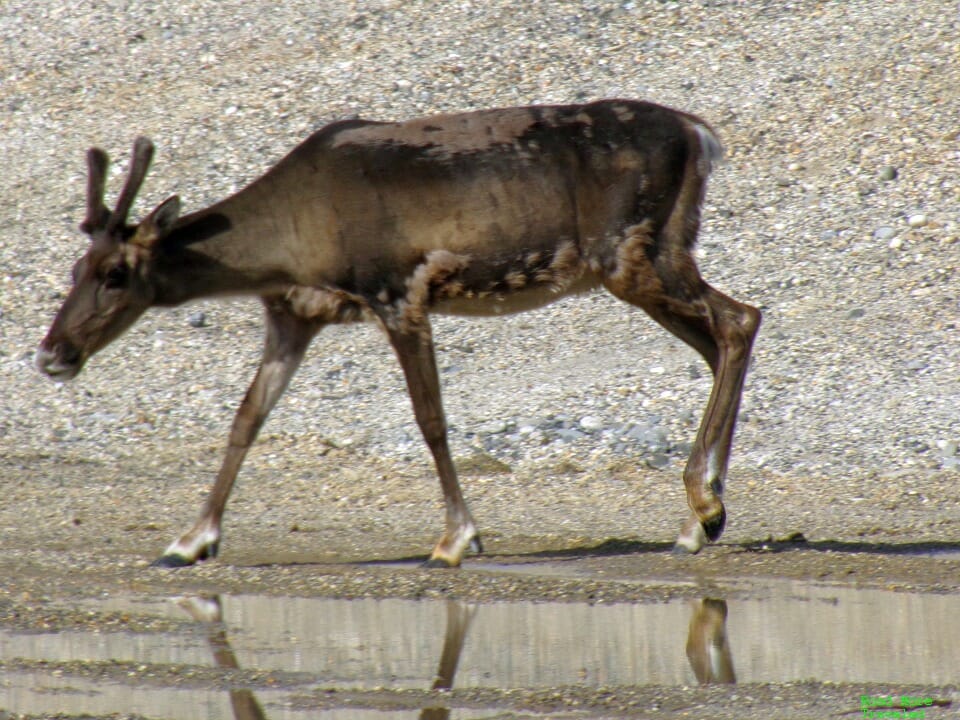
North of Toolik Lake, the land flattens out, and you’ll find your best chance of spotting wildlife. We found caribou. Lots and lots of caribou. Consider yourself warned, these caribou don’t mind grazing right in the middle of the road.
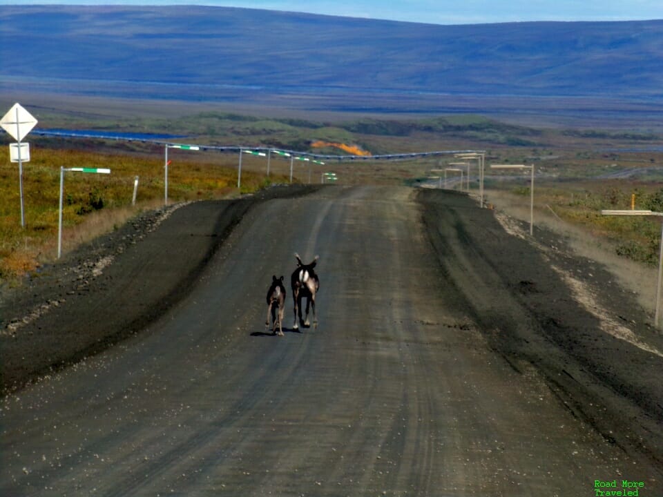
Or running in the middle of the road.
Others graze just off the road.
Some, though, actually like to run alongside or just in front of your vehicle. My best advice if you encounter caribou in the road? Stay a safe distance behind. If it’s a mother and calf, they’ll eventually dart off to the side. If it’s a big herd, inch forward slowly until the herd disperses. Or wait for a big rig to come by and honk them out of the way. Don’t spook them, though. A collision with a caribou almost certainly means a hefty insurance claim for your rental car. The majestic musk ox also roams the North Slope, though we didn’t see any.
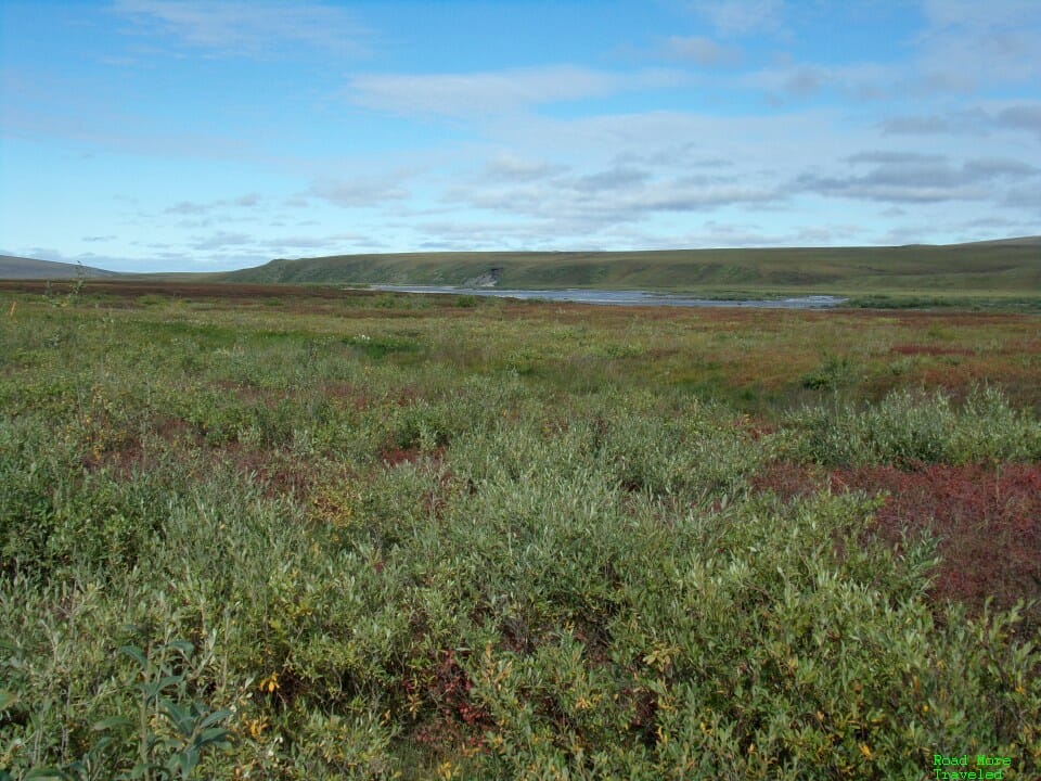
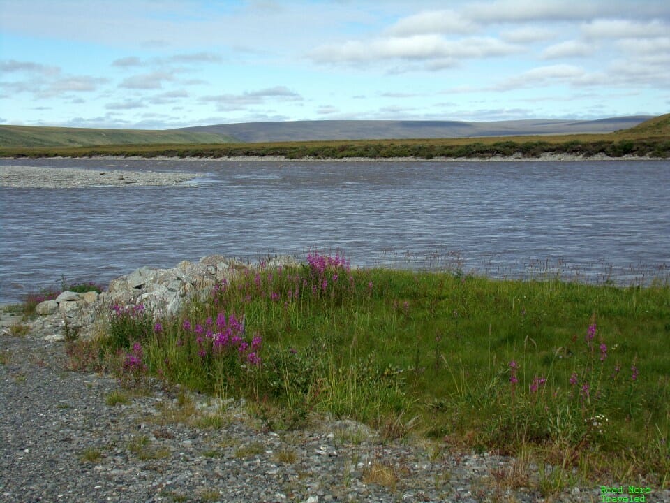
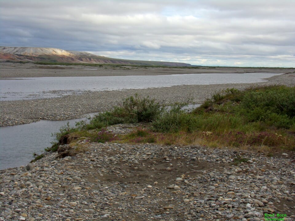
As you pass MP 300, the highway gains a new companion, the Sagavanirktok, or “Sag”, River to the east. I took this somewhat distant shot of the river around MP 315, at “Oil Spill Hill”.
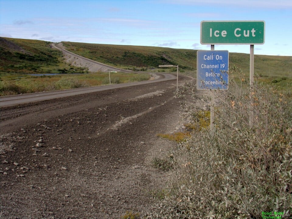
Further north, at MP 325 is “Ice Cut”, the last really steep grade headed northbound. The river comes right up to the road at this point.
At MP 349, you reach “Sag River Overlook” on the west side of the highway. A short hike leads to a panoramic view of the Sag River and its limestone bluffs. From here to MP 383 (Franklin Bluffs) is your best bet to see musk oxen, who like to graze along the wide river banks.
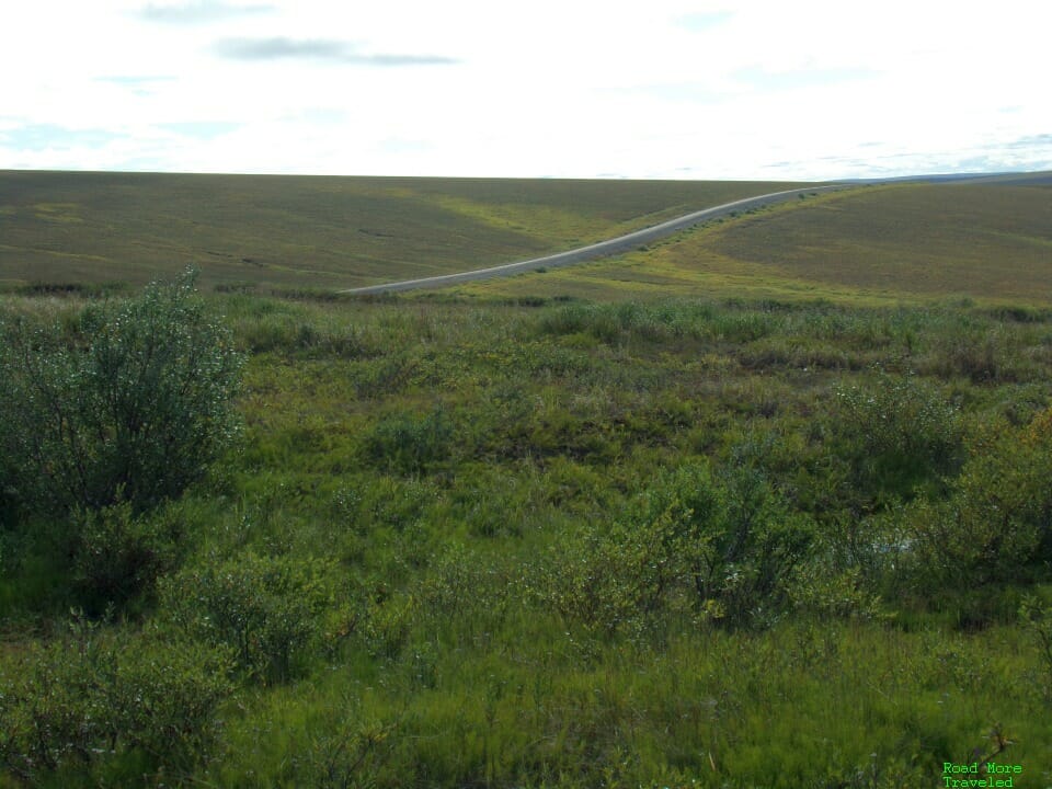
MP 355 provides your final chance for a pit stop before Deadhorse, still 59 miles away. The rest area is at the top of a hill, providing a panorama of the surrounding area. And the Dalton winding up and down through the hills.
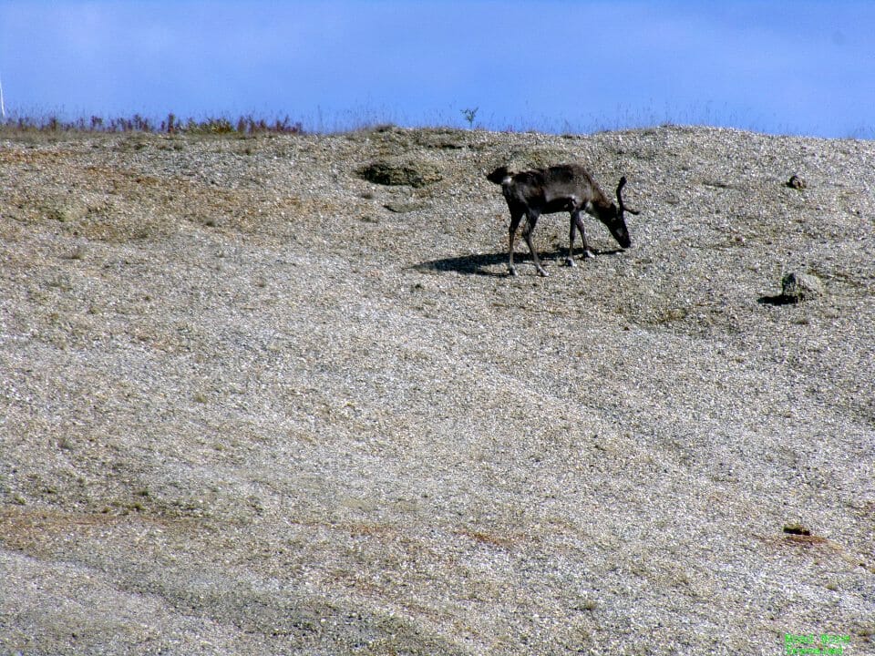
There is also a small sand hill here, which is apparently a popular hangout for caribou. One decided to show up and pose on our return trip.
(Before anyone asks, I took these with a zoom lens, a safe distance away. Never approach wild animals.)
On a clear day, you can also catch a glimpse of the true North Slope ahead of you. Notice, too, the bank of low clouds on the horizon. On a typical day, expect to get socked in with low clouds north of MP 375 or so. You might enjoy sun and 50s/60s at the rest area, but you’ll quickly see temperatures drop into the 40s as you reach the muck.
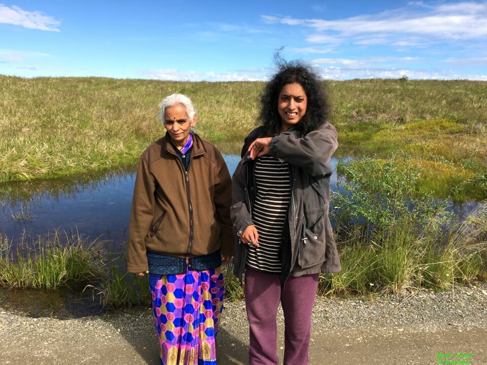
On the return trip, we climbed up the hill and enjoyed the wildflowers, and a family photo.
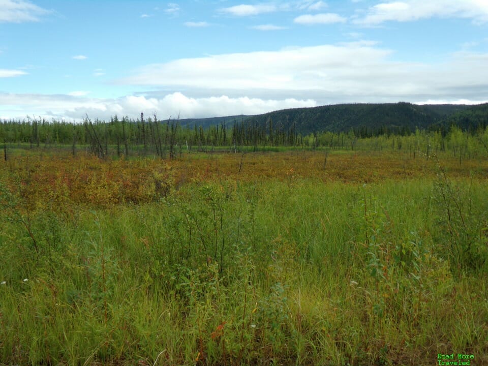
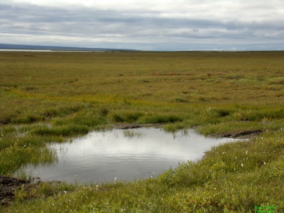
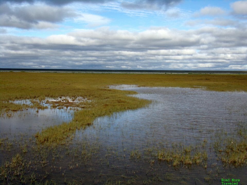
Finally, after you descend the hill after the rest area, you reach the Arctic Ocean coastal plain. Some people call this part of the world ugly. Personally, I find it the most fascinating. The North Slope is one of the driest deserts in the world. Deadhorse averages just 4.62″ of precipitation a year, or about half that of Phoenix. Yet in summer, the Dalton reveals a lush, green landscape as far as the eye can see. Why? The summer thaw over the permafrost produces one of the world’s largest marshy wetlands. Step off the highway, and you’ll find a few inches of water everywhere.
At MP 383 is Franklin Bluffs; as mentioned previously, you’re most likely to find musk oxen here, if you’re lucky.
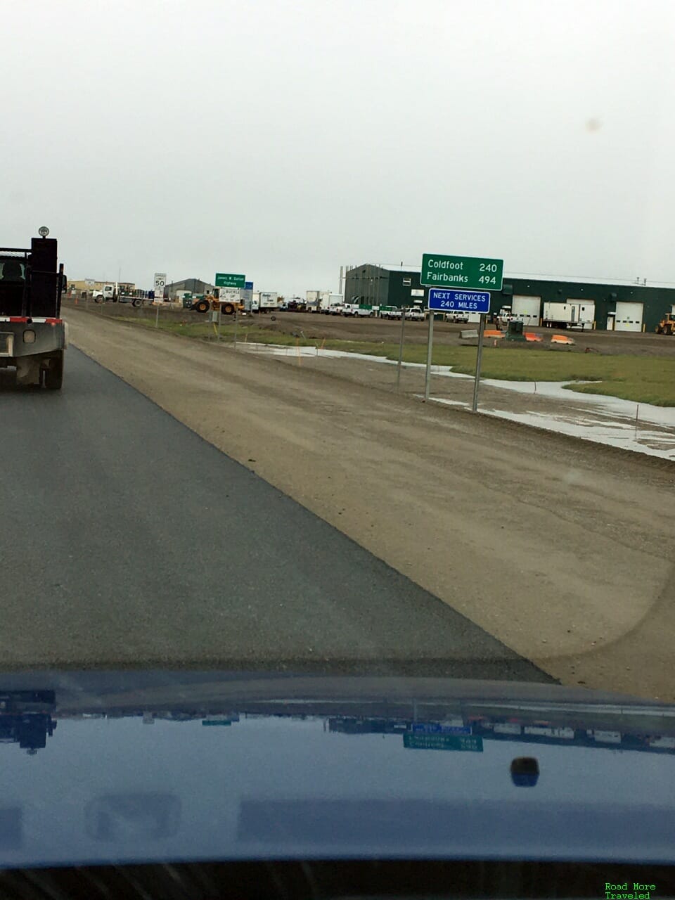
And at long last, you reach Deadhorse, the end of the road, 414 miles after leaving Livengood. The end of the road itself is a nondescript T-intersection at Lake Colleen Drive in Deadhorse.
Looking south from here, you can finally comprehend just how far you’ve come. It’s also a reminder to fuel up before returning to Coldfoot.
Deadhorse itself (also known as Prudhoe Bay) is a rugged industrial “town”. In truth, it’s more a work camp for oilfield workers than a town. The permanent population is only 25; a transient worker population of 2,000-3,000 resides here at any one time, though.
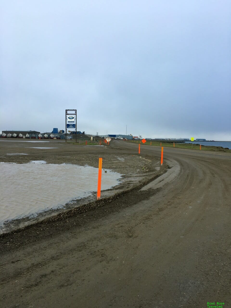
I wanted to spend a little time driving around Deadhorse, but circumstances conspired to put the kibosh on that. The paving project on the Dalton meant one lane traffic with a pilot car from Deadhorse to 10 miles south; that included the entrance to our accommodations, Deadhorse Camp. Miss the pilot car, and you could wait up to an hour for your next turn. So after a quick trip to town for gas, I had to head back to the start of the road to get back to the hotel.
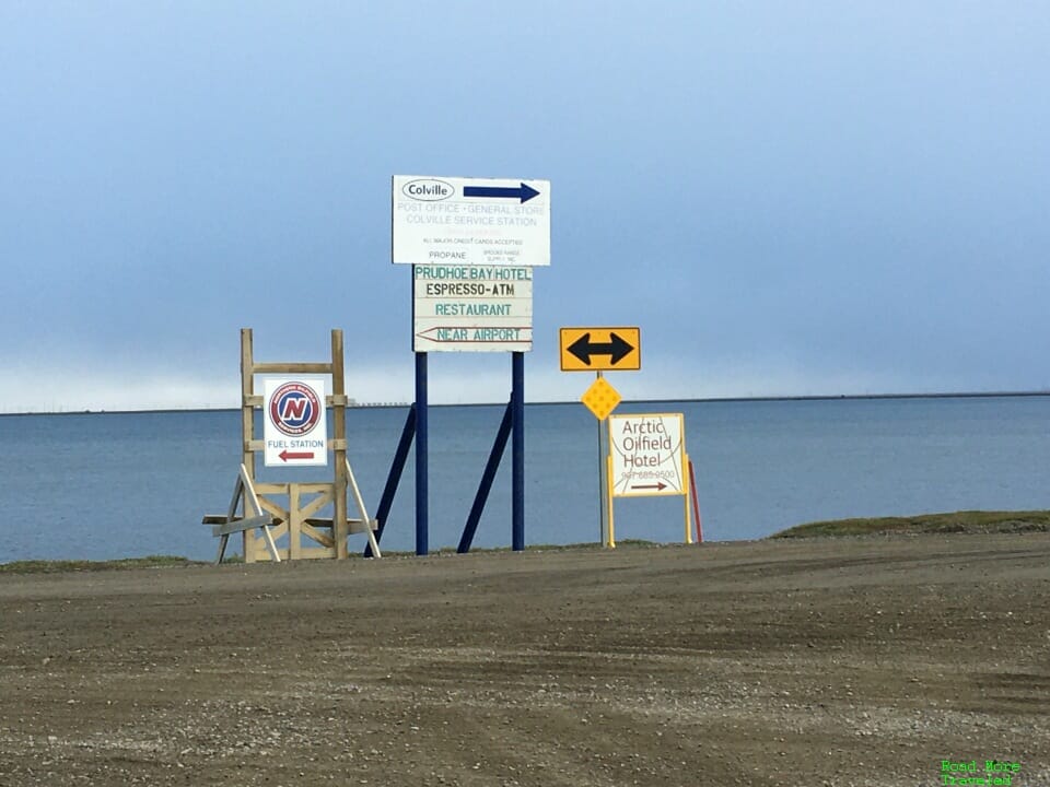
As I’ll discuss in the “tips and tricks” post, gas is horrendously expensive on the Dalton. The automated Colville station on the east side of town charges $4.92 a gallon.
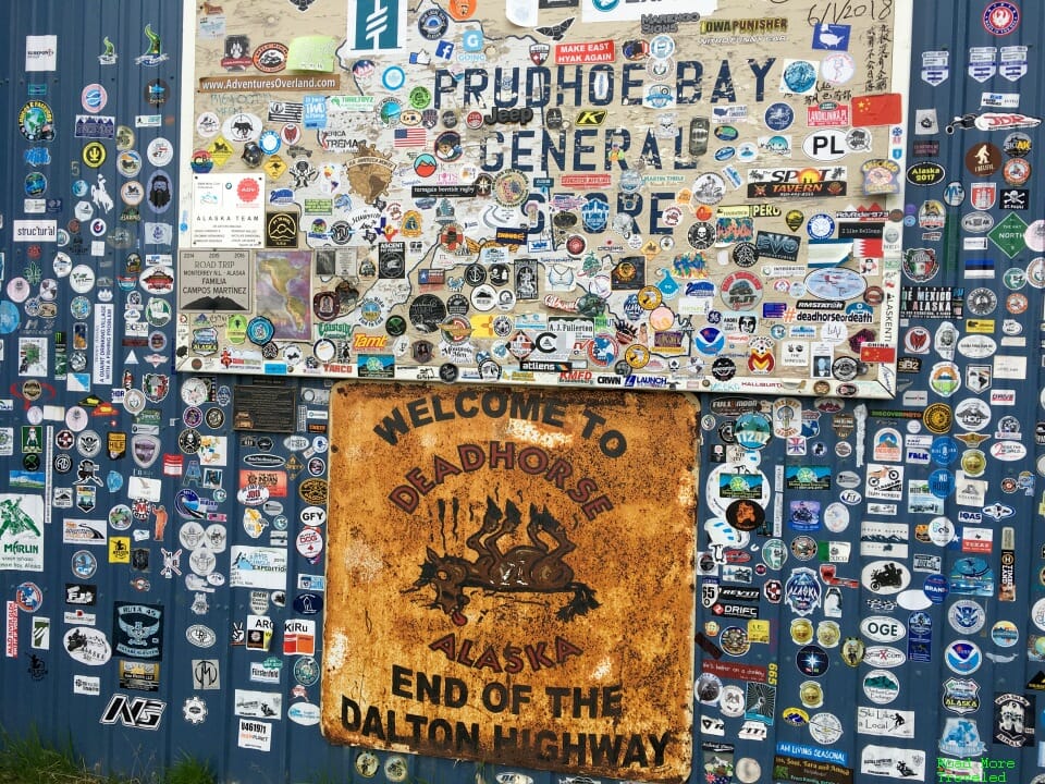
After fueling up, I made another quick stop at the Prudhoe Bay General Store to grab a couple of souvenirs. I also wanted a photo of the “End of the Dalton Highway” sign after coming all this way. Not exactly accurate, since the Dalton Highway doesn’t actually end here, but still. Note that there are no grocery items for sale; only snack items like soda, some chips and cookies, etc.
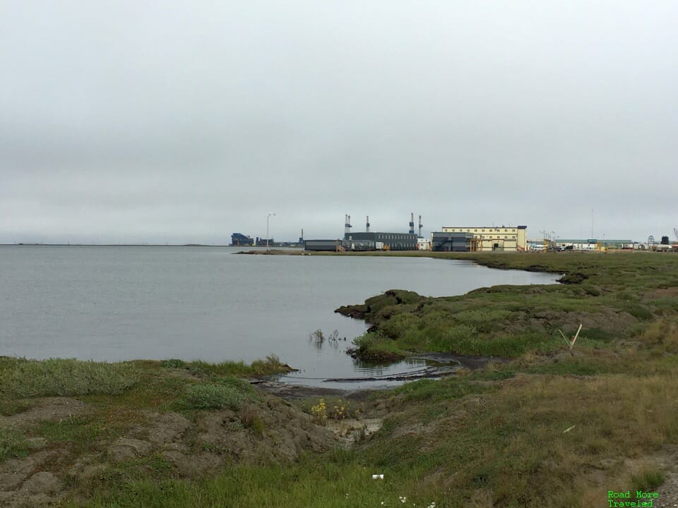
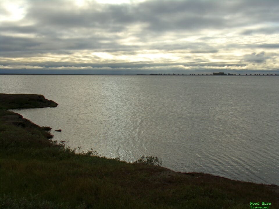
After picking up what I needed, I did manage a few shots of town from the shores of Lake Colleen.
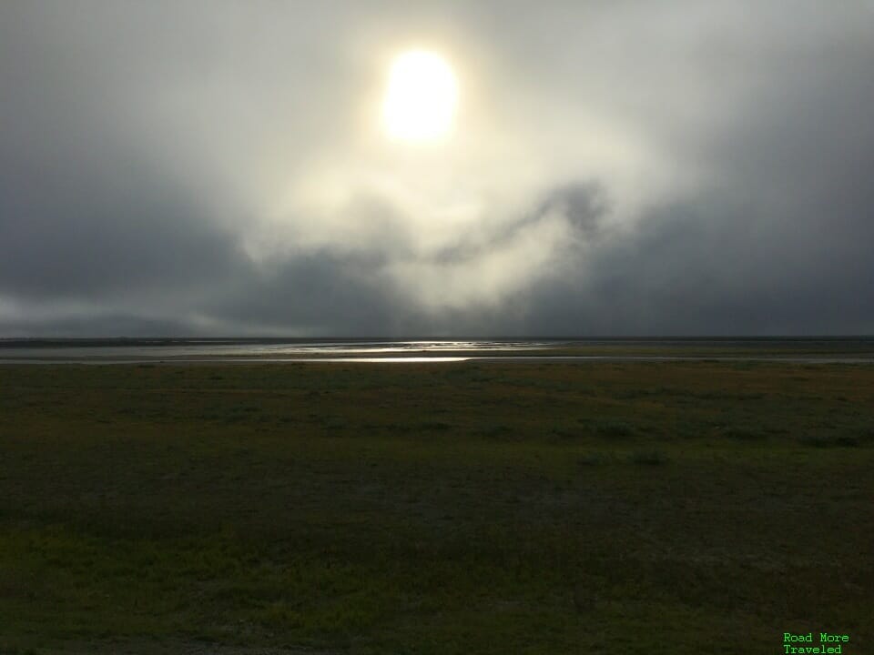
Probably my favorite part of Deadhorse, though, is the Arctic sky. During the day, the sun’s lighting at this latitude seems to play tricks on you.
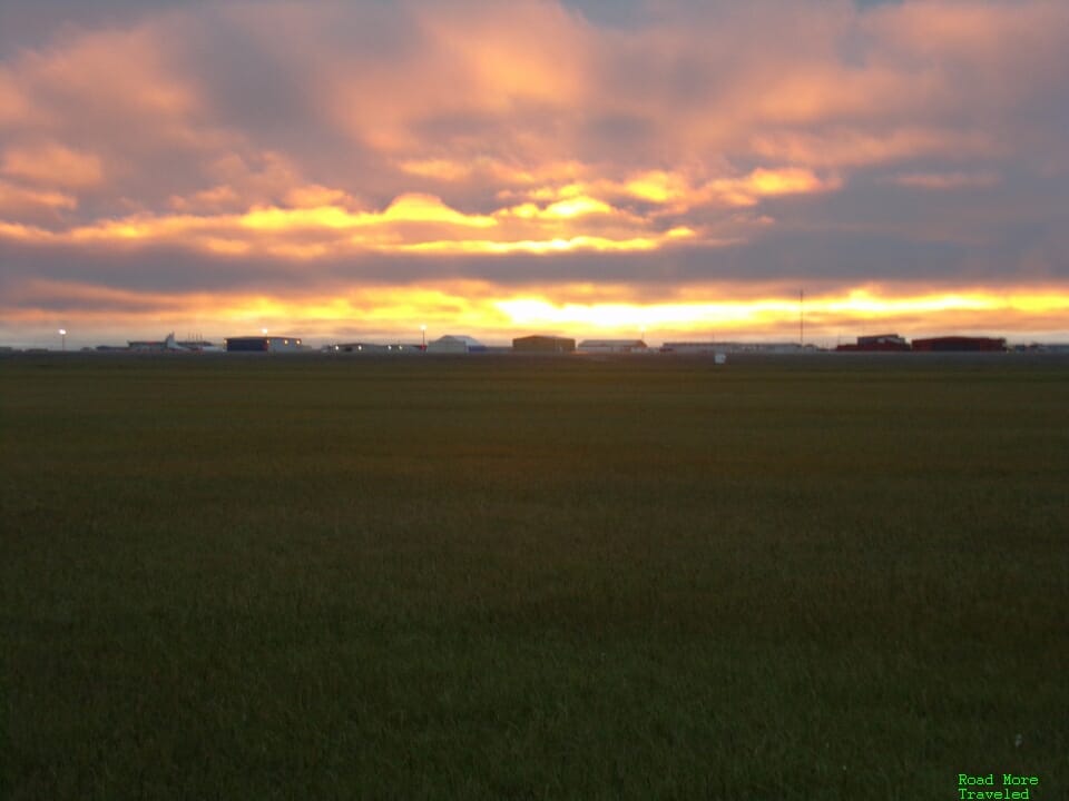
Of course, I didn’t make it this far north not to see the midnight sun. Sunset on August 4th occurred at 12:05 am (technically on the 5th). Both my mother and I braved the upper 20s wind chill for the privilege.
Meanwhile a couple of caribou looked really puzzled at the crazy tourists out in this weather.
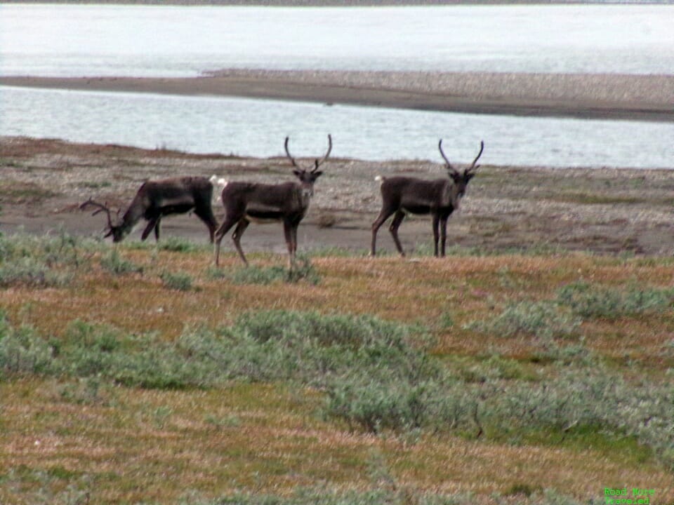
While we all wanted to do the Arctic Ocean tour, the pandemic unfortunately shut down the tours entirely. Oh well.
The weather definitely is something to keep in mind when venturing to Deadhorse. Occasionally, you’ll get really lucky in July or August, and end up with a sunny day in the 60s. More typical, though, is a persistent overcast that keeps temperatures in the 40s. And yes, snow falls here every month of the year. Given that summer usually brings temperatures in the 70s across the rest of interior Alaska, pack appropriately if you plan to make the trip.
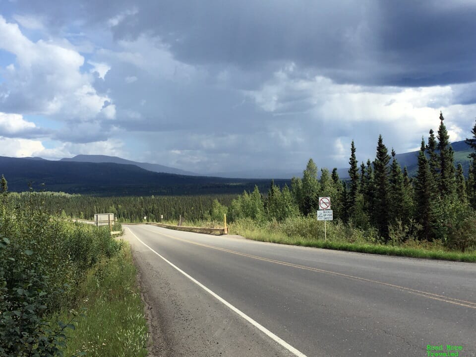
With that, we set out to make the long trip back down the Dalton – all really happy that we decided to make it all the way up. Capped off with the beautiful Alaska summer sun back at Mile Zero, of course.

