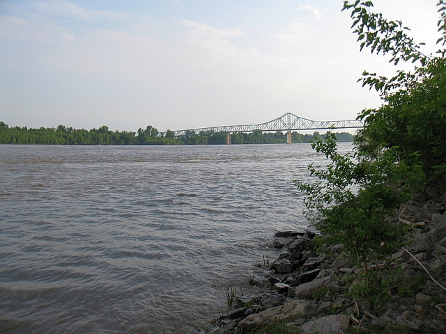
‘Ol Man River at Cairo, Illinois
This is Part 15, and the penultimate entry, in my Bermuda trip report series. In my last entry, we rolled in to the end of the National Road in Vandalia, Illinois. This post covers our final stretch of actual driving; the 605 miles from Vandalia to our home in the northern suburbs of Dallas. I love road trips and all, but as you get closer and closer to the end of one, you really start getting the feeling of just wanting to get home. As a result, this last stretch would mostly be straight driving. We did, however, plan a short detour for one final stop at the confluence of the Mississippi and Ohio Rivers. (We came all this way, so figured we might as well see it.)
NOTE: I realized, once again, that I’ve been forgetting to include links to my Flickr page for those who would like to see the raw, unedited photos of our trip. Just so I don’t forget again, I’m including them below, along with links to today’s content:
Binghamton, NY to Columbus, Ohio (Saturday, May 24)
Jonesboro, Arkansas to Dallas (Monday, May 26)
For a primer on our entire trip, head over to my Bermuda trip report introduction and index.
Sunday, May 25, 2014 (Continued)
Departure: Vandalia, Illinois; Scheduled: 2:45p; Actual: 3:42p
Arrival: Jonesboro, Arkansas; Scheduled: 8:11p; Actual: 9:05p
Distance: 301.2 miles; 3,425.0 miles cumulative
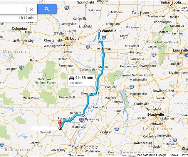
Map of Route:
We rolled out of Vandalia nearly an hour late. Much to my chagrin, because I hate being late. Getting lost back in Richmond, Indiana didn’t help. But I also just plain underestimated how long it would take to drive down the old road, and all the little towns that went with it. Oh well, when you’re on a road trip, it doesn’t really matter if you’re running late. I tried to sneak the speedometer a little higher where I could, though. That’s not particularly easy to do on Memorial Day weekend, when the interstates are crawling with Smokey Bears.
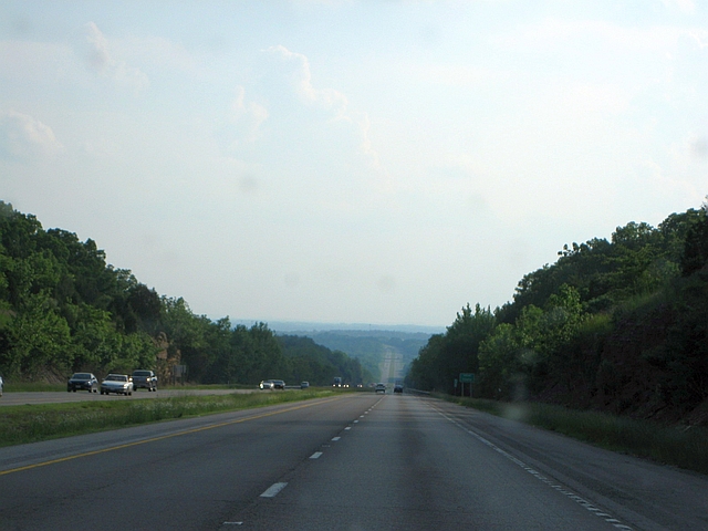
Heading south on IH-57 through “downstate” Illinois, the landscape more closely resembles the south than what you expect to see in Illinois – rolling hills and thick forest cover.
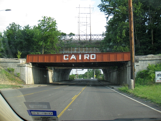
We did plan one more stop for the day, at Fort Defiance State Park. The park marks the confluence of two of America’s great rivers, the Mississippi and the Ohio. The park lies a couple of miles south of Cairo, Illinois, near the triple point of Illinois, Kentucky, and Missouri. After exiting the interstate, you are greeted to Cairo by a large painted sign on a railroad bridge.
Cairo was, for many years, one of the most important towns in America. Its location at the confluence of the Mississippi and Ohio rivers made it one of the young nation’s most important commercial centers. But time has not been kind to Cairo. It peaked in population around 15,000 in the early part of the 20th century. But today, it is home to only slightly more than 2,500. The town has been in a long spiral of decline; it started with the bypassing of the town by the railroad a few miles to the north. Later, a sorry history of institutional racism and poisoned race relations. And then, perhaps the final nail in the coffin, the construction of the Interstate 57 bridge across the Mississippi River in 1978 provided travelers no real reason to pass through town.
In fact, the city was almost abandoned entirely during the historic Mississippi River floods in the summer of 2011. But it received a reprieve when the Army Corps of Engineers spared it from the deluge. Still, Cairo is a sad little town today, with downtown’s once grand buildings slowly decaying. Those that still stand, anyway. Most bit the dust years ago thanks to neglect and abandonment.
Anyway, before stopping at the park, we took a quick detour over the Ohio River on US 60 to the Kentucky side, so I could get a photo of the Kentucky welcome sign for my collection.
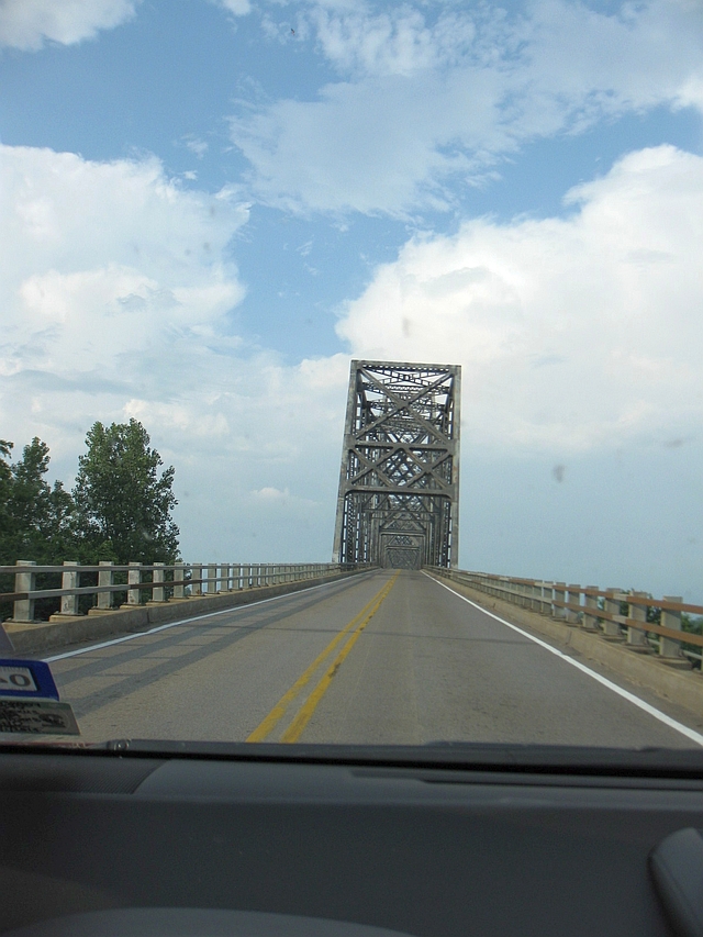
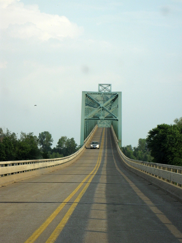
I’m going to put up a separate post on our visit to Fort Defiance. The photo up top gives you a sneak peak of what it looks like, though. After our short visit, we headed back the opposite direction (west) on US 60. This time, we crossed the Mississippi River into Missouri, on a very similar bridge.
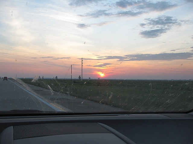
Our route for the rest of the evening took us west on US 60, then south on IH-55, west on US 412, and finally south on US 49 to our ending point for the day, Jonesboro, Arkansas. This entire stretch is pretty lame, really. Expect a vast expanse of flat farmland through the Mississippi Delta. But we did enjoy a pretty sunset as we rolled west through the bootheel of Missouri.
This turned out to be a long, tiring day that didn’t end until nearly 9:15, but with only 460 miles to go on our final day, we could at least sleep in a little.
Monday, May 26, 2014
Departure: Jonesboro, Arkansas; Scheduled: 9:00a; Actual: 8:54a
Arrival: Plano, Texas; Scheduled: 6:05p; Actual: 5:53p
Distance: 459.5 miles; 3,884.5 miles cumulative
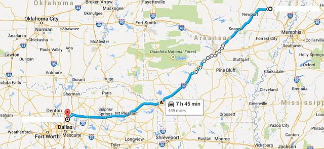
Map of Route:
When I originally planned this trip, I intended a rather round-about route home from Arkansas. The plan: take Interstate 40 into Oklahoma, then head south down highways 69 and 75 back to Dallas. Why? Because 1) I’d be able to scratch off another stretch of interstate from my “to drive” list, and 2) it would minimize route duplication, and keep in tact my general road trip policy of driving in a perfect circle. But, said route would be some 100 miles longer than the direct way, and we were both starting to get anxious to get home. So, we decided to take the straighter route home instead, with a twist – we’d get off the freeway north of Little Rock and follow the old, pre-interstate route to Texarkana.
To do so, we’d follow old US 67 through Little Rock, then US 67 from the southwest edge of the city to Texarkana, a route that roughly follows the old Southwest Trail, a Native American and later pioneer trail that extended from St. Louis to the Red River at Fulton, Arkansas (approximately 20 miles northeast of Texarkana). On the northern outskirts of Little Rock, the road doesn’t look much different than it would have 50 years ago.
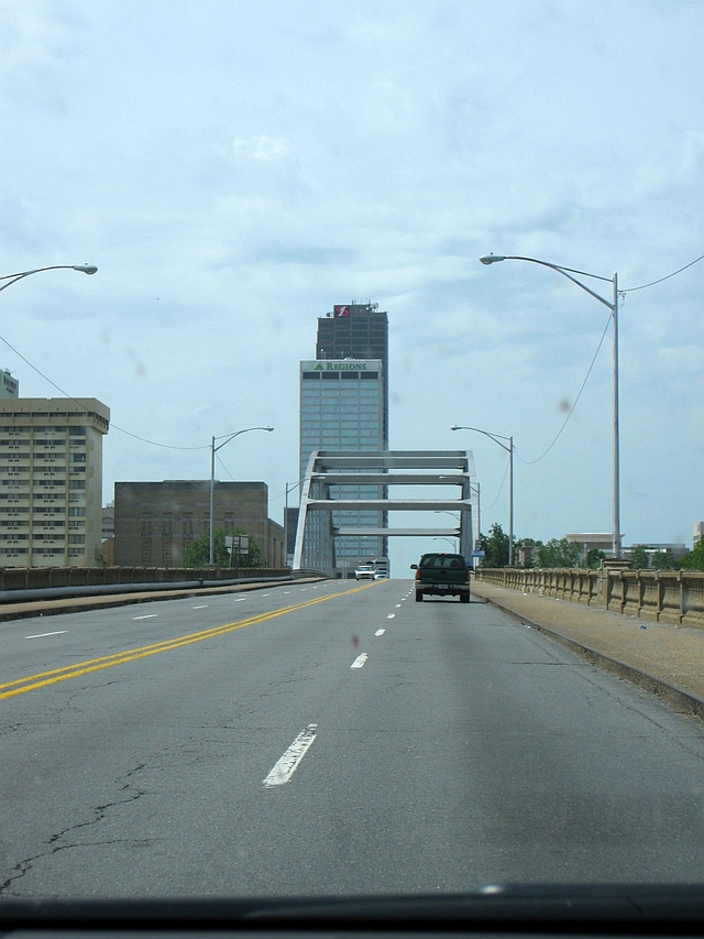
Now approaching downtown Little Rock, the road (now US 70) crosses the Arkansas River on an old 1930s-era bridge, with a nice view of the skyline.
After passing through town, we stopped for lunch at the excellent Brown’s Country Store and Buffet in Benton, about 20 miles southwest of the city. This is one of my favorite joints to stop at when making the trip to my sister’s place in Memphis, though admittedly, a 100-foot long buffet line full of Southern comfort food isn’t the best idea when road tripping. I’ve never managed to write a review of the place (I will one of these days), but suffice to say, it’s good, and worth going to if you’re in the area.
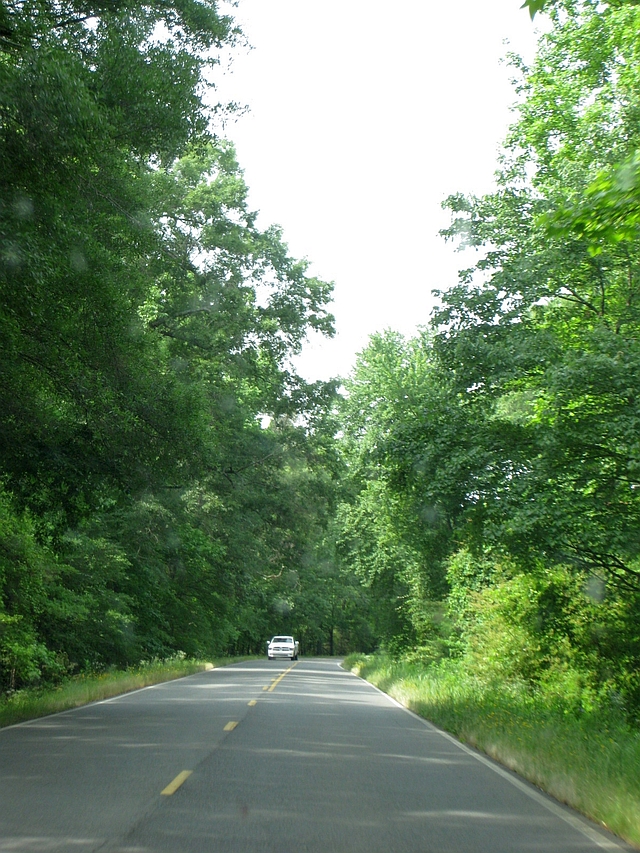
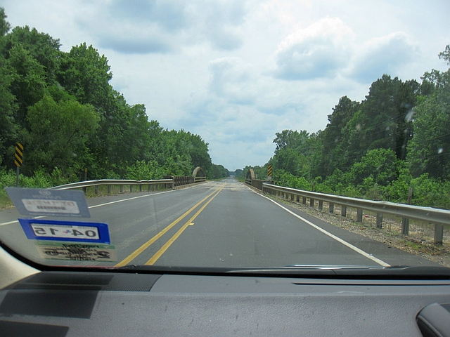
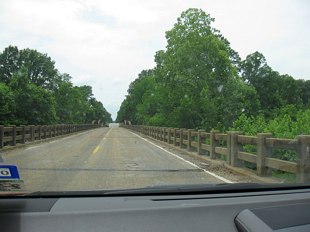
Back on the road, US 67 is a leisurely, two-lane country road as you transition from the pancake flat farmland of the Delta region and the Arkansas River Valley to the rolling hills and forests of Southwest Arkansas. The old road is a gold mine for road geeks, especially southwest of Arkadelphia, with many examples of 1930s-vintage arch bridges like the ones below.
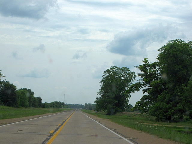
Later, between Fulton and Texarkana, road geeks find even more to rejoice – a stretch of original concrete pavement.
The Southwest Trail is a nice, quiet drive, but be aware, it is significantly longer than following the freeways. Using the new US 67 freeway and IH-30, the trip from Jacksonville, where we picked up the old road, to Texarkana can be done in about 2 hours and 20 minutes. Our drive took about 4 hours and 15 minutes, including 45 minutes for lunch. In other words, stick to the freeway if you’re in a hurry.
We did head back to IH-30 on the west side of Texarkana, and took the quick way the rest of the way home. And finally, at 5:53 P.M., nearly 3,900 miles and almost exactly 13 days after we first left, we made it back home. Aside from a slightly overgrown yard and a cat with a lot of pent up energy after not getting to go outside for 2 weeks, everything was just as we had left it. We both very much enjoyed this piece of the “Kokomo” tour, but were also glad to be home.
In my final installment of this series, I will cover our visit to the confluence of the Mississippi and Ohio Rivers at Fort Defiance Park in detail.

