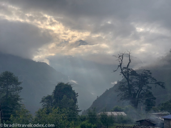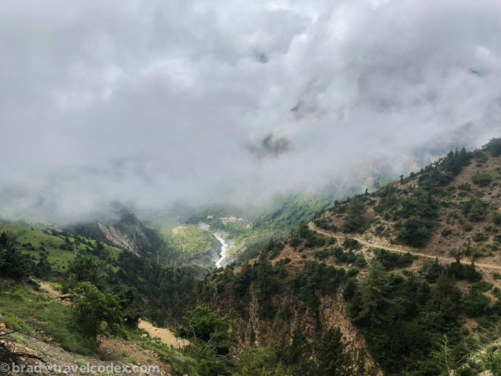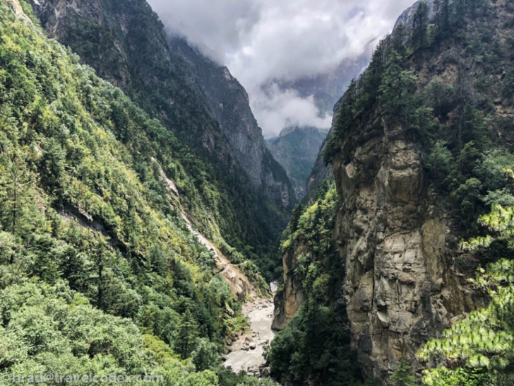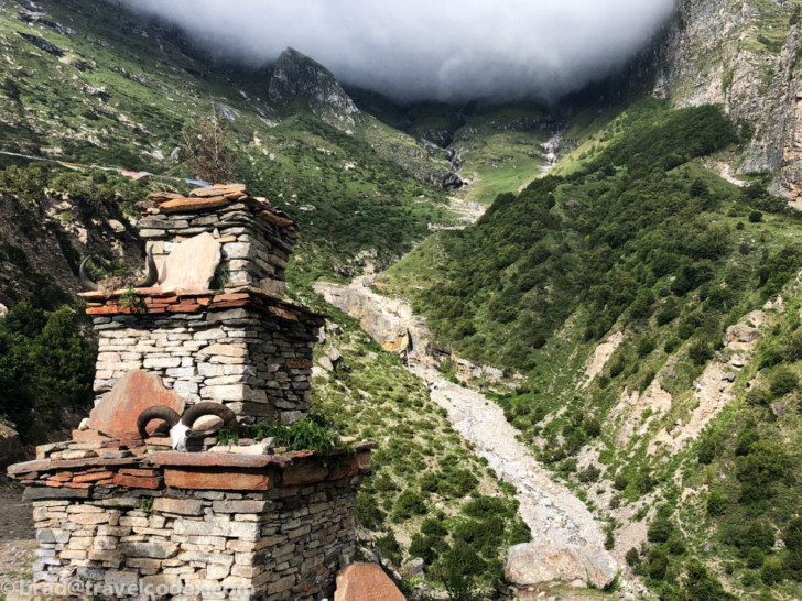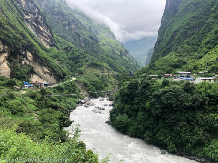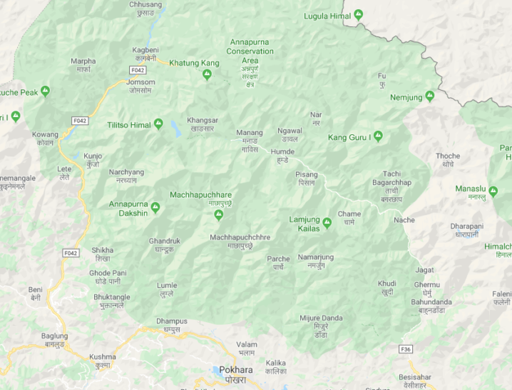
The main purpose of our trip was trekking on the Annapurna Circuit. Some areas of this loop are a relatively common trekking route and is open to anyone. Since we visited during rainy monsoon season, we planned a route that would take us to an area that should be dry. This is the Nar Phu valley, which has been open to trekking only since 2012. This is in an area of a rain shadow, and thankfully this worked out very well. For several days at a time, we didn’t see any other trekkers, especially on the more remote Nar/Phu valley. While we didn’t have as many sunny days, or views of snowcapped mountains as much as we would during the peak season of the fall, rain never stopped us from doing anything. It only rained hard one day, and we were already at our destination.
From Kathmandu to the trek
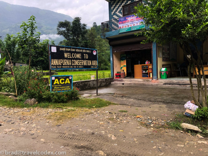
We began our journey early, with a taxi and our guide from the Hyatt Regency Kathmandu. Then to a local bus station in town. From there to Besisahar, a gateway town to the Annapurna. The bus ride was less than 100 miles, but it took more than 6 hours. Not for those prone to motion sickness, I experienced a fellow rider fill and then discard what we later called a barf bomb. The roads are rough, and once outside of the Kathmandu valley, at most 2 lanes. Rainy season lead to some washed out areas, but as we would find out, this road was much better than others we would encounter.
Once in Besisahar, we had a late lunch, and then got into a 4 wheel drive jeep to take us to the park. The main road was washed out in a section due to rain, so we didn’t get as far as planned, spending our first night in Chamje. Much of Nepal’s power comes from hydroelectric plants. Several plants have been expanded thanks to China, and now the old trekking trail is a very rough road. This allows for equipment and supplies to these plants. Part of the time we walked on the road, other times on single track hiking trails.
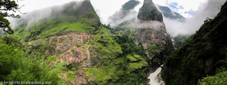
From Besisahar, we took the 4×4 jeep as far as we could go based on the conditions. Unfortunately, due to an earlier storm, the road was blocked, so we drove to a village called Chamje and spent the first night. From here we started on foot the next morning. Our first day was a long hike, gaining a fair amount of altitude, especially early on. Despite hiking further than planned, we were able to make up the distance on foot, and ended up basically on schedule of our original plans.
Tea Houses for trekkers along the Annapurna Circuit
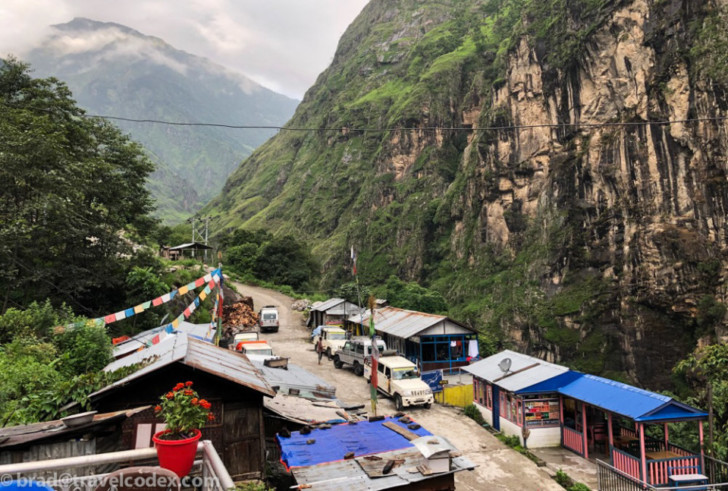
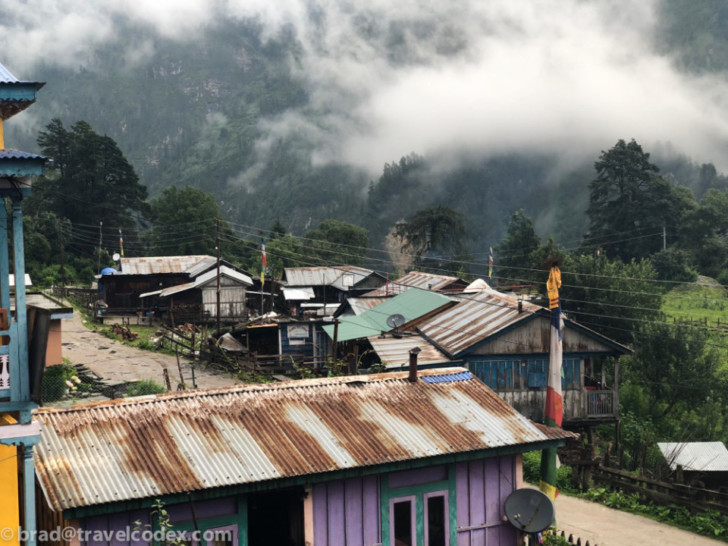
On our journey, we didn’t carry any tents, or cooking supplies. Instead, we spent each night (and many lunches) at tea houses. These are small hotel/restaurants along the Annapurna Circuit to serve trekkers. Not traveling in peak season meant many of these were closed when we visited. I’ve heard stories of many tea houses being sold out during the busy months, so some planning ahead might be required. Not carrying camping gear allowed us to pack lighter, and move somewhat more quickly. We also only carried snacks, since we would eat meals at tea houses along the way each day. Only once did we carry a meal, one day with our longest hike without anywhere to stop, over a high pass.
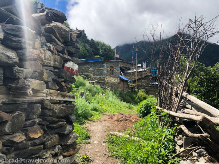
In areas close to the main road, the tea houses are pretty well equipped. Nothing fancy at all, but a clean room, beds, a decent mattress, and usually a pillow. Many places have hot water for showers, but often charge a small fee of a few dollars. Many of the tea houses offer wifi, sometimes free, sometimes for a small fee. No one would confuse these accommodations for a fancy hotel, but for tired hikers, these places are great, and vastly more comfortable than sleeping in a tent.
Our days spent trekking
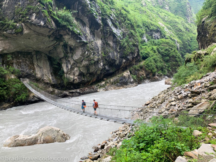
The first day was warm, because of the lower elevation, plus we were climbing much of the way. In one wet section of trail, we even encountered some leeches. This was the first of 10 or so days in the park, and we started to find a routine. Breakfast in the tea house, then a few hours trekking. A break for tea, usually in another tea house, a few more hours trekking, and then lunch and a short rest. Depending on how far we intended to go that day, we would continue that afternoon, and finally reach our destination, find a tea house. We’d unpack some, relax, then have some dinner, and then sleep. Some versions of that continued throughout our trip. Not exactly a relaxing vacation, but typical of trips my friend and I take when we can get away. This one was more adventurous than most.
Our route continued along the main Annapurna route going counter clockwise. Our second night in the park was at a nice tea house with modern conveniences to include a western style toilet and warm showers, plus wifi. All included for free. Food and accommodations are extremely cheap by western standards, usually less than US $10/night, including dinner and breakfast. Especially given low occupancy during our visit, it really felt like we were guests in these people’s homes. What a neat experience.
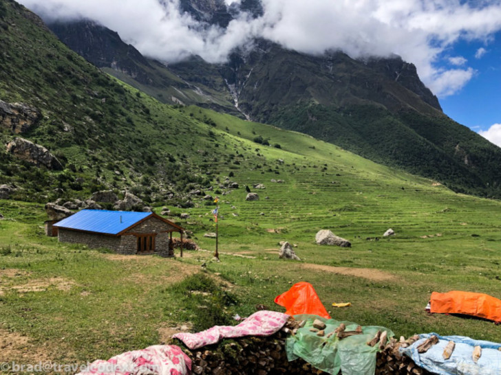
From here, we got off the main trail, and headed into the more remote, and controlled Nar/Phu valley. We had to have our permits checked again. Foreigners can trek the circuit without a guide, but one is required to visit Nar/Phu.
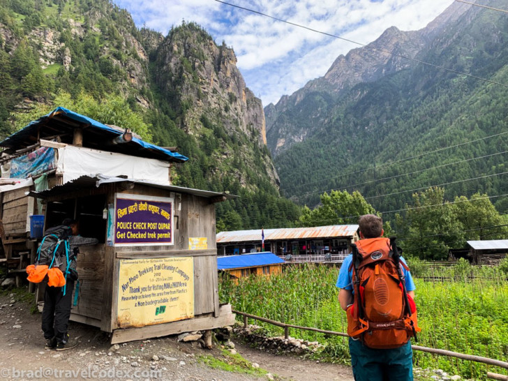
The Nar/Phu Valley trek
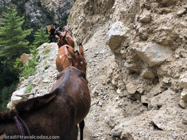
We didn’t see to many other trekkers along our route, and once in the Nar/Phu valley, we saw even fewer. This section of our trip was the only place we didn’t have internet access, as only satellite phones/service is an option. In some cases, tea house owners were surprised to have us as guests, and several were not open due to the low season. Once in this valley the trails were foot traffic only, and all supplies are carried in by people or pack animals. Accordingly, prices are higher, but still quite affordable given how remote these places are. Distance between places is measured not in kilometers or miles, but in hours. We chose this route to stay dry, and this plan worked well. We had sun for much of our time in this area. I even got sunburned on my arms and a brutal farmer tan.
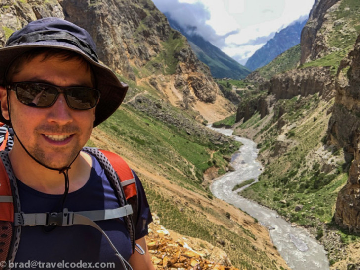
The furthest away from a jeep road we were is in the village of Phu, (sometimes spelled Fu or Phoo). This is normally 2 days or so from a jeep road. So, seeing how many building materials among other things had to be carried into place. Interestingly, here we encountered a large group at the same (and only open) tea house as us. This group consisted of several Nepalis, and a chatty Aussie who has been coming to Nepal for more than 20 years. He remarked that most villages on the whole circuit used to be as remote and undeveloped as Phu still is, but especially since the jeep road, modernization has come along with it.
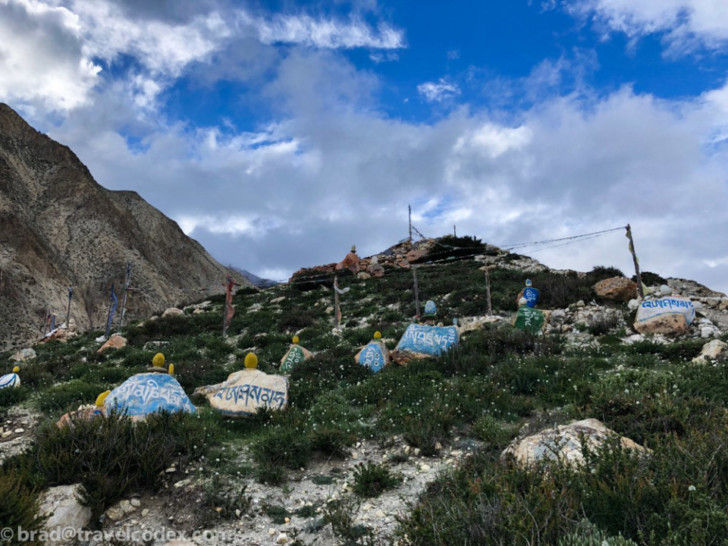
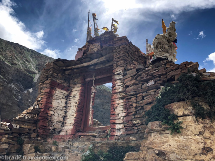
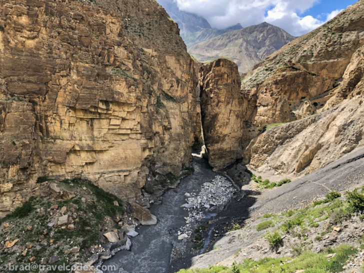
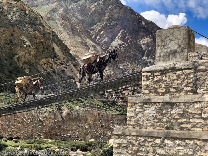
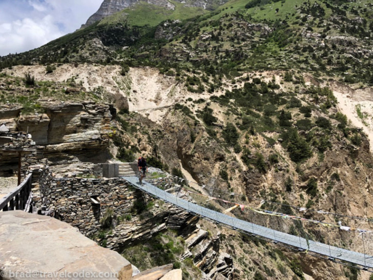
After one night in Phu, we retraced our steps part of the way back towards Nar. Along the way we crossed over the valley we took and an extremely high bridge, and the stopped in a monastery.
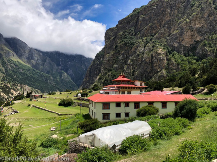
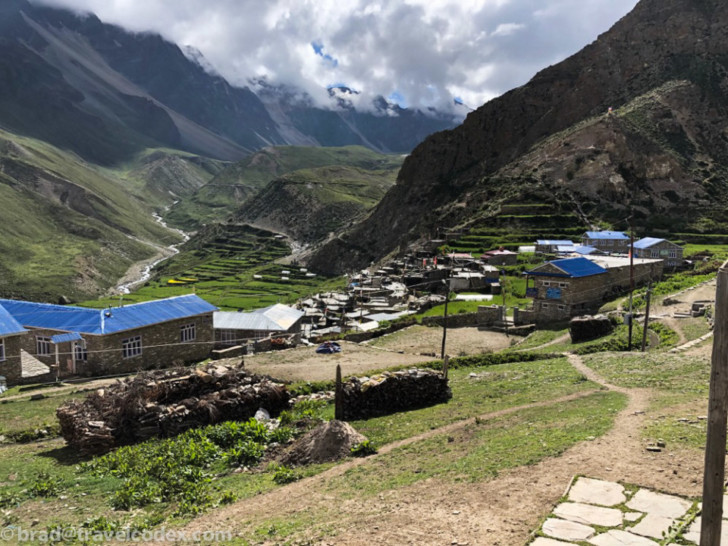
After a long trek from Phu, slow descent then slow climb, we made it to Nar. Another remote village still impressively developed for how difficult access is. 2 days or so trek from a jeep road. These places are above the tree line, so firewood must be carried in, otherwise dried yak manure is used as fuel. Not as stinky as I expected.
The return journey, including a climb over Kang-La pass
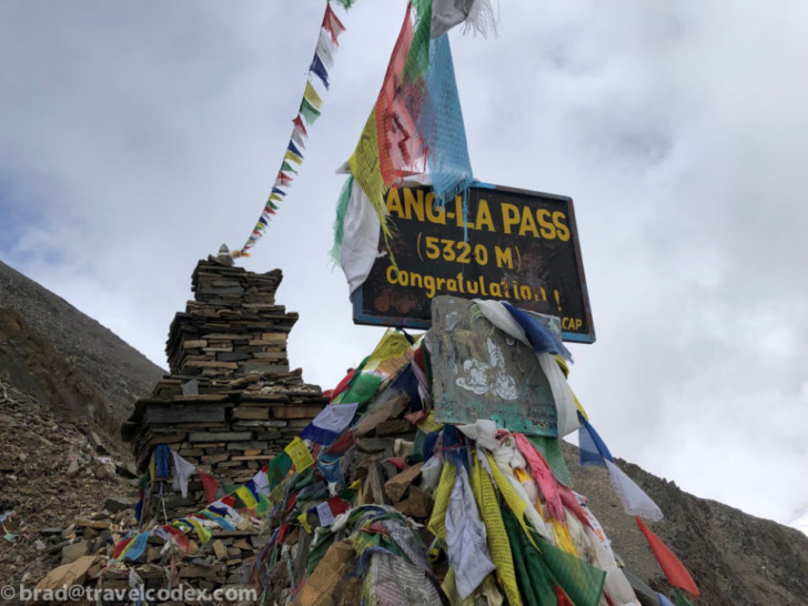
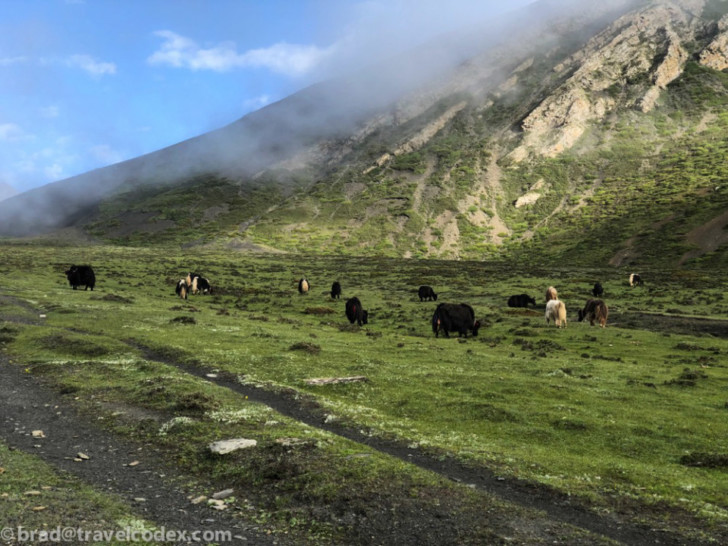
From Nar, we had what turned out to be the most difficult part of the trip, at least for me. This wasn’t our longest day in terms of distance, but we climbed up and over a 5320 meter (17454 feet) pass. The last 1000 or so meters of climbing were really slow going. Take a few steps, stop and catch your breath, repeat. Amazing that the summit of Mt. Everest is more than 3000 meters higher, even Everest base camp is another 40 meters higher than this pass. We enjoyed a beautiful trek up to the pass. We saw some yak along the way, and some decent views. As we approached the last of the climb, the trail was in a rock field, from countless previous avalanches. Looked almost more lunar than something on earth.
Finally on top, we stopped for some photos, and to have a snack. Clouds were rolling in, and this spot was very windy, so we didn’t spend much time here.
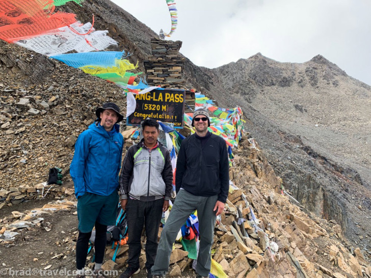
After a sluggish climb to the top, the journey down the other side was relatively easy. the 17,000+ foot elevation is by far the highest I’ve been other than when on airplanes. I’m in decent shape, but living at a few hundred feet of elevation, I’m not used to this height. It felt like an accomplishment to complete this trek, and on our way down, we enjoyed a beautiful day, and what may have been one of the tastiest packed lunches I’ve ever had. Though I may have eaten my shoe at that point.
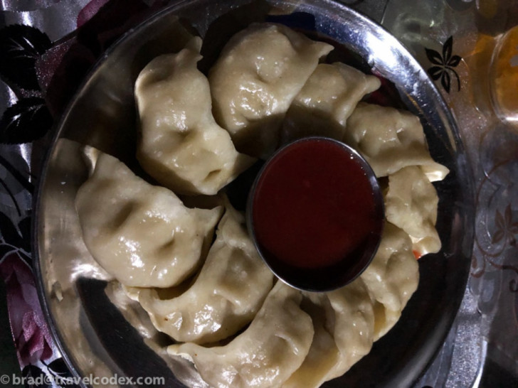
We continued to decrease our elevation, and then made it back down to Nawal village at 3660 meters, which felt quite low after this hike. We were back on the main Annapurna circuit now, and more amenities were available. A few more days back to where we started, and then a jeep ride to Besisahar for our last tea house. This was really a remarkable trip. I’ve said more than enough, so I’ll just let some more photos describe it:
Final thoughts on our Annapurna Circuit and Nar/Phu trip
This was a lovely trip. Other than the high pass, it wasn’t really that difficult in terms of exertion. Even that trek was only a challenge for a short time at the highest elevation. Especially on the main circuit, most anyone with good mobility could do it. We moved faster than some, as relatively fit people with long legs, but no reason to rush. I’d certainly like to return some day, and maybe even closer to peak season.
I enjoyed the total lack of crowds, but having more sunny days and mountain views would be great. Seeing how these people live in these remote areas is impressive. Maybe no easy access to roads, but people have smart phones, just like everywhere else. They use solar chargers for electricity if not connected to the grid. It sounds like people are moving away from the remotest areas, which isn’t totally surprising. Who knows how much these areas will continue to change as it continues to modernize. I highly recommend a trip like this. A beautiful place, with lovely people.

