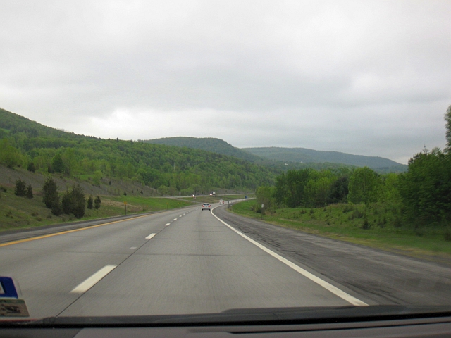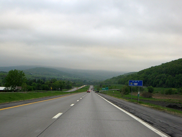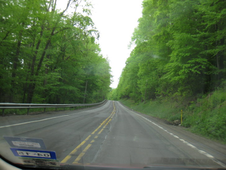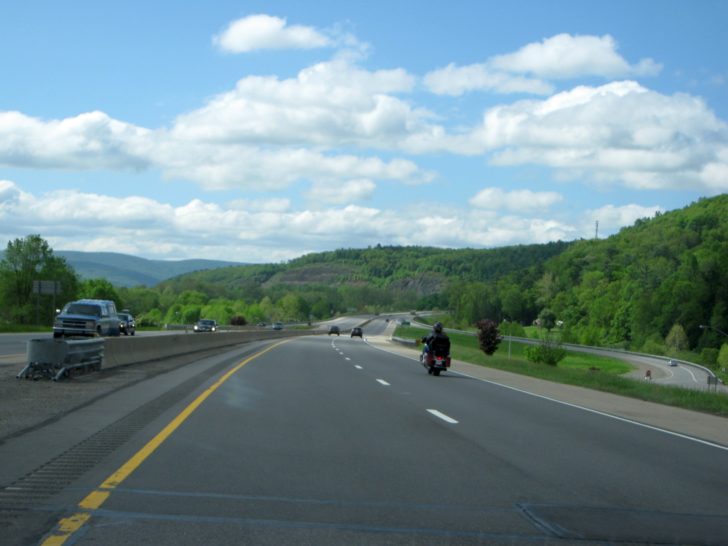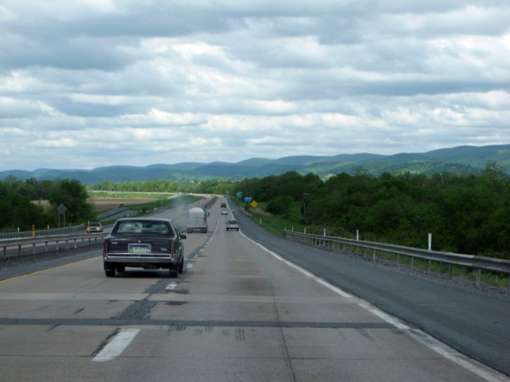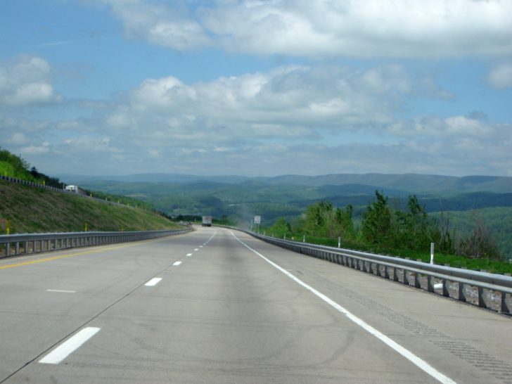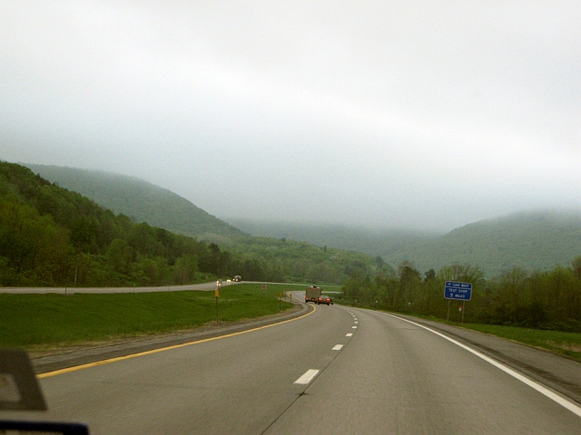
Interstate 88 in New York’s Catskill Mountains on a foggy evening
This is Part 11 of my Bermuda trip report series. In my last report, I reported on lunch at the fabulous Lobster Shanty in Salem, Massachusetts, which in turn was part of my report on a half day we spent in Salem. We finished up in Salem a little before 3, and it was time to hit the road for the long drive back to Texas. In hindsight, it would have been better to just spend the entire day in Salem and leave the next morning, but I really wanted to drive the historic National Road in its entirety, and we needed the head start as it would take quite a bit of extra time. I will be making our trip down the National Road a post by itself; this post will cover getting there from Salem to Cumberland, Maryland, the beginning point of the road.
For a trip report index and a primer on our entire trip, refer to the Bermuda trip report introduction and index.
Friday, May 23, 2014
Departure: Salem, Massachusetts; Scheduled: 3:00p; Actual: 2:41p
Arrival: Appalachin, New York; Scheduled: 8:31p; Actual: 9:37p
Distance: 357.9 miles; 2216.4 miles cumulative (includes 16.2 miles from Boston to Salem)
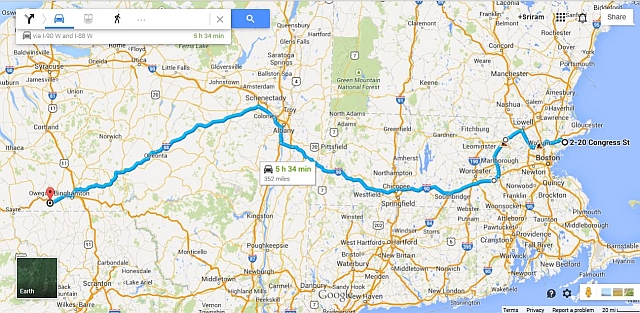
Map of Route:
I’d heard many a horror story about Boston traffic, and this being the Friday before Memorial Day had me feeling especially uneasy. We’d made it a point to get out of Dodge no later than 3:00, no matter what it took. I was feeling really good when we hit the road a full 19 minutes early. That good feeling didn’t even last half an hour, as Boston traffic lived up to its sullied reputation. Not even a mile after we eased onto I-95 – wreck, with a traffic back-up, albeit a minor one. Whew, not so bad. Smooth sailing almost until we reach our exit for Highway 3, and then – another accident. Major back-up this time that had us moving 1/2 mile in 15 minutes, and another 10 minutes to get past a traffic light as we hit the back roads.
Things finally open up, and I think we’re home free as we start heading west on I-495, but then – yet ANOTHER wreck, traffic backed up real bad yet again. Back roads again, and yet another traffic light that took 4 cycles to get through. Finally, after we got back on the freeway a couple of miles down the road, it opened up for good, though we had lost nearly an hour off our schedule by this point.
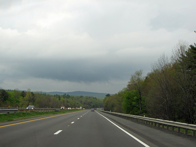
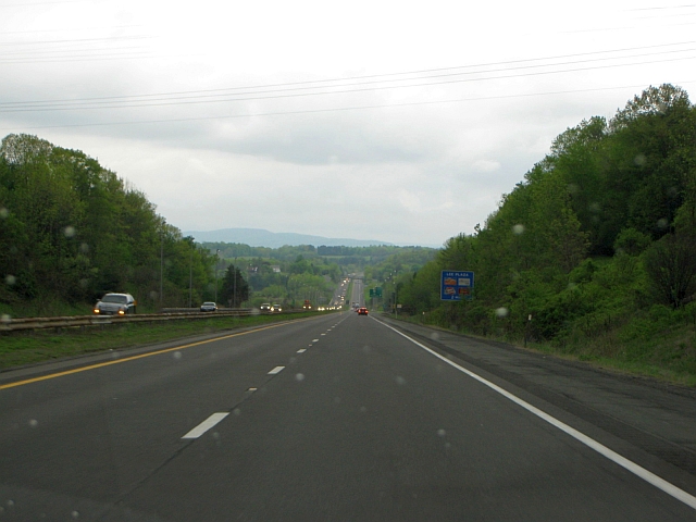
To add insult to injury, the rain that followed us to Boston on the way up had reappeared, ranging from a light drizzle to major downpours as we made our way through the Berkshires on the Mass Turnpike. The scenery was still great, though, as we passed through the crest of the Appalachians (according to a signboard, at an elevation of slightly over 1,800 feet, or the highest point westbound travelers would encounter until Oacoma, South Dakota, more than 1,500 miles away).
Threatening skies west of Springfield, MA
Berkshire Mountains approaching Lee, MA
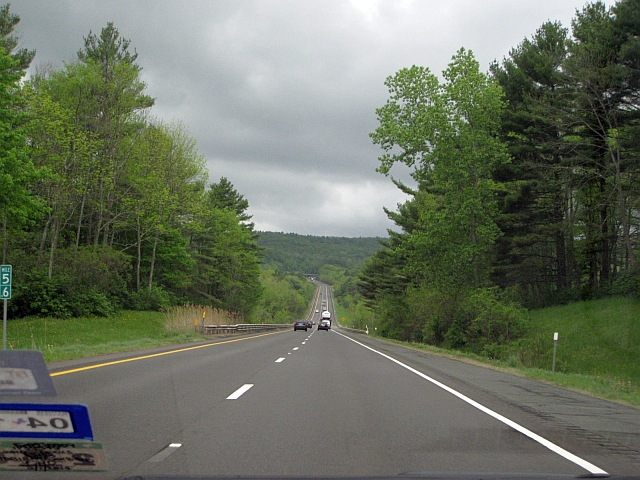
The Berkshires approaching New York state line
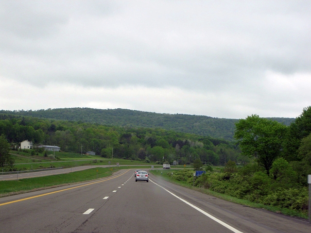
The rain finally quit for good as we approached Albany, but as we headed southwest on IH-88 into the Catskills of upstate New York, we encountered a light fog and some very chilly weather, with temperatures only in the mid-50s. That might not sound that cold, but 55 degrees a few days before Memorial Day is completely alien to a lifelong Texan like me. Interstate 88 is a nice, scenic drive as it winds along the Susquehanna River to Binghamton; the light fog, with the sun occasionally trying to peek through, made the drive especially pretty on this day, at least while we had daylight.
We had originally planned to drive all the way through to our hotel and eat something there, but with darkness falling and still nearly 75 miles to go, we couldn’t stomach (no pun intended) waiting and opted for the dreaded fast food meal at McDonald’s. Finally, we rolled in to our stop for the night, the Quality Inn Binghamton West, a little after 9:30. It’s got a good location going for it – right off Highway 17, past the city, and next to a restaurant and gas station – but the hotel itself has seen better days. The interior could definitely use a refurbish. The clerk was very nice and helpful, though.
Saturday, May 24, 2014 – Part One
Departure: Appalachin, New York; Scheduled: 8:00a; Actual: 8:05a
Arrival: Cumberland, Maryland; Scheduled: 2:06p; Actual: 1:52p
Distance: 277.3 miles; 2,493.7 miles cumulative
Map of route:
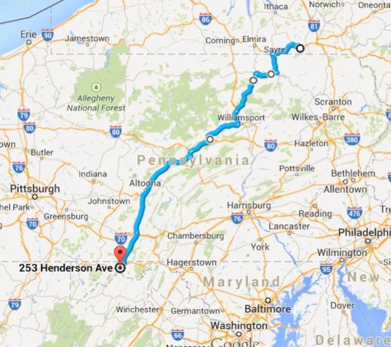
Saturday’s drive would really be two separate ones. Part one, the continuation of this post, would get us to Cumberland, Maryland, the beginning of the historic National Road. Part two would be our first stretch of the National Road from Cumberland to Columbus, Ohio, our stop for the night. That will be part of a future post detailing our entire drive down the National Road.
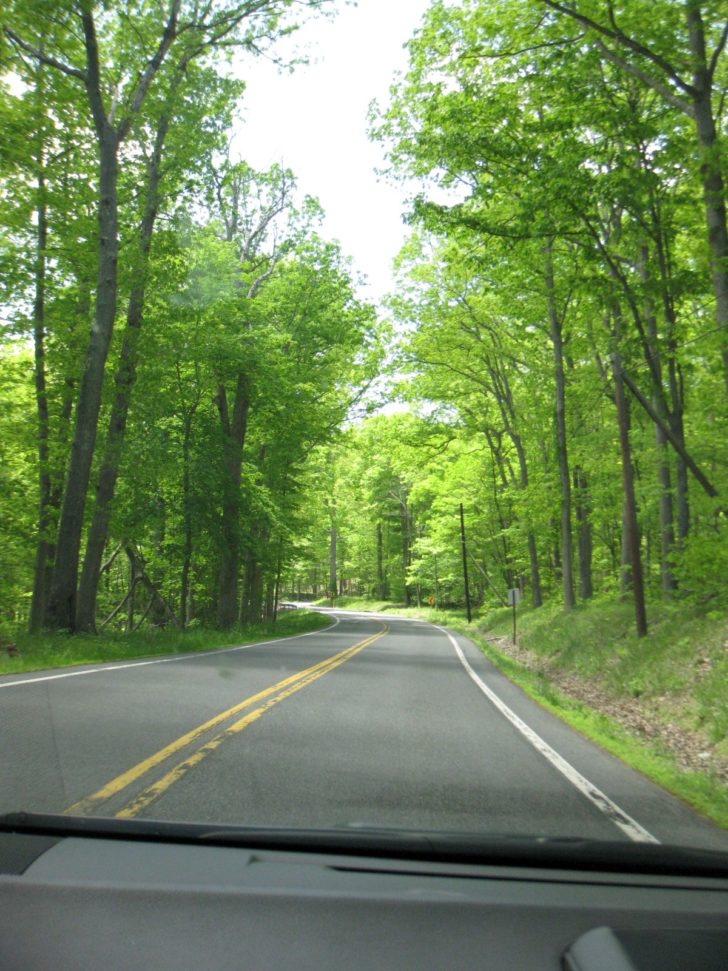
The day started off gray and a bit gloomy, but thankfully, the rain was gone; the forecast actually called for a beautiful spring day after the clouds burned off around mid-morning. We started off heading west on Highway 17 through the Susquehanna River Valley of southern New York. Then, we headed southwest across the mountains of northern Pennsylvania across a series of back roads. The Pennsylvania mountain roads made for a fun little drive on a quiet Saturday morning, especially with the light traffic and the bright green new spring foliage in bloom.
SH 17, Susquehanna River Valley east of Waverly, NY
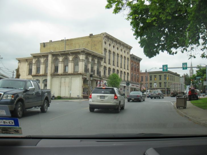
US 6, historic town of Troy, Pennsylvania
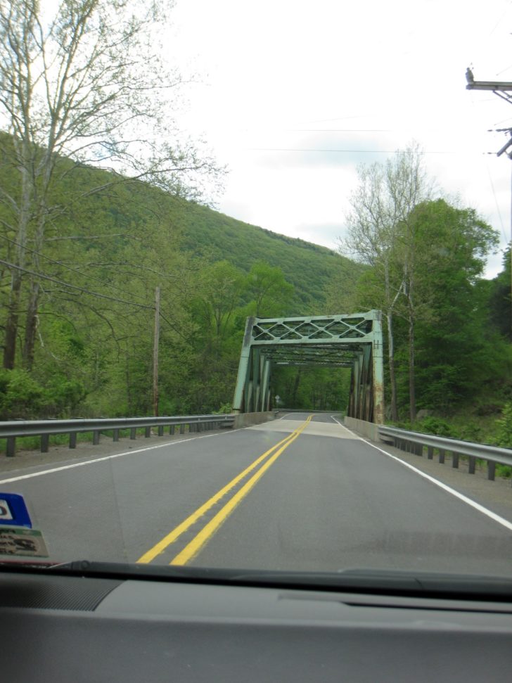
Old bridge on SH 14, south of Troy, PA
Beautiful spring foliage on SH 14, nearing Trout Run, PA
As we headed south towards Williamsport, home of the Little League World Series, the skies began to clear as advertised. That left us with a gorgeous spring day with temperatures warming into the lower 70s – perfect for road tripping with the windows down. Our route, following US Highways 15 and 220, then Interstates 80 and 99, and finally US 220 again as IH-99 ends near Bedford, goes up and down through a series of mountain ridges and valleys in a fairly sparsely populated area of Pennsylvania and Maryland. This general route is a popular fall foliage watching route from early to mid October, when the Appalachians go ablaze in color.
Occasionally, you can also see cuts in the mountainsides indicative of the many coal mines that were once (and still are) found in the area. Just beware of the speed trap from Bellefonte over to the west side of State College. We saw 3 cops in this short stretch, waiting to nail drivers exceeding the low 55 mph speed limit. Many of them, undoubtedly, Penn State students.
US 15 approaching Williamsport, PA
US 220 west of Williamsport
IH-99 descending Bald Eagle Mountain, west of State College, PA
Interstate 99 is actually a rather controversial interstate among road geeks. Why? It violates the interstate highway system numbering convention, under which north-south interstates increase in number as you go from west to east. Interstate 99 lies west of Interstate 81, thus it doesn’t fit. Anyway, there’s your dose of useless road trivia for the day. Interstate 99 ends at the junction with the Pennsylvania Turnpike in the historic town of Bedford, Pennsylvania. Bedford is one of the oldest settlements in central and western Pennsylvania. Settlers arrived in 1751, with a British fort set up a few years later. The town’s most famous link to American history occurred about 35 years later, when President George Washington marched 12,950 militiamen through Bedford on the way to Pittsburgh to quell the Whiskey Rebellion in 1794. Later, the town became famous for its mineral springs, which were believed to have contained medicinal qualities.
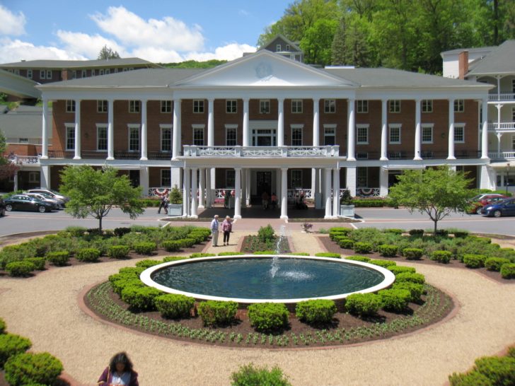
We decided to drop by the Omni Bedford Springs Resort, a hotel originally built for tourists visiting the springs and which President James Buchanan later used as his summer white house, to treat ourselves to a nice Saturday lunch. I’ll have a full write-up on our lunch stop in a separate post. For now, I’ll just leave you with this photo, and an assurance that we did very much enjoy our stop.
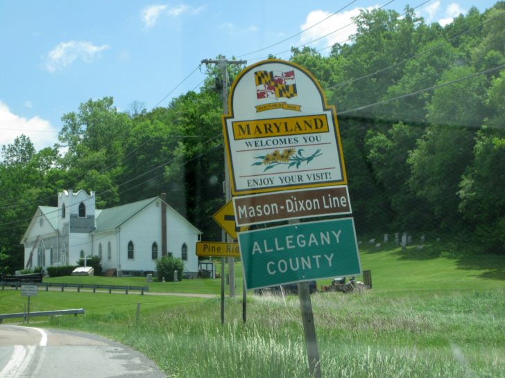
It is a short 32 mile drive down US 220 from Bedford to Cumberland. Along the way, the road crosses the famous Mason-Dixon Line into Maryland (no museum or monument, just a sign). If you are in a heavy vehicle or towing a trailer, beware the steep grade as you drop down into Cumberland and the Potomac River Valley.
Old US 220 leaving Bedford Springs Resort
Crossing the Mason-Dixon Line into Maryland
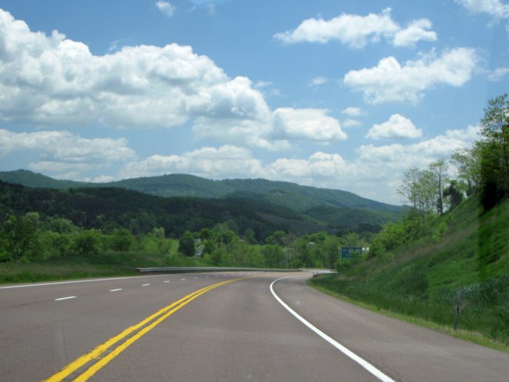
Approaching IH-68, descending into the Potomac River Valley
We rolled into downtown Cumberland 14 minutes early; that set the stage for our trip down the National Road from start to finish. Almost. I’ll cover that portion of our drive in my next installment of this trip report.

